Free Printable US County Maps by State
Explore detailed county maps for all 50 states. Download printable, blank, labeled, and interactive county maps in high-quality PDF format. Perfect for education, travel planning, research, presentations, and geographic reference. Easily access accurate county boundaries and customize maps for your needs.

Printable PDF Maps
High-quality PDFs ready to print

Blank & Labeled
Choose blank or labeled versions
High Resolution
Clear, detailed maps in high resolution
County Boundary Data
Accurate boundaries and county data
Free for Education
Perfect for students, teachers & researchers
Browse County Maps By State
click on any states to view and download county maps
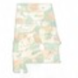
Albama
67 Counties
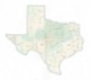
Texas
254 Counties
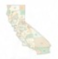
California
58 Counties
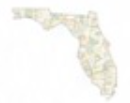
Florida
62 Counties
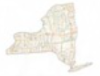
New York
62 Counties
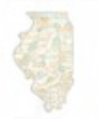
lllions
102 Counties
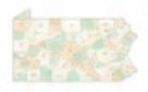
Pennsylvania
67 Counties
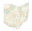
Ohio
67 Counties
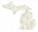
Michigan
83 Counties

North Carolina
100 Counties
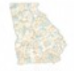
Georgia
159 Counties
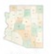
Arizona
15 Counties
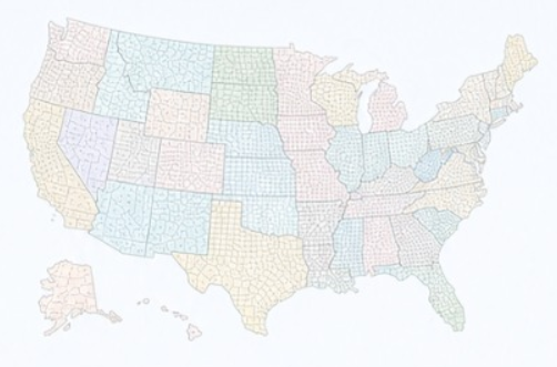
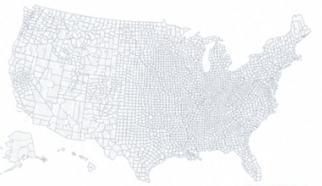
NATIONAL MAP
Explore the Complete US County Maps
View all county boundaries across the United States. Download or explore the interactive map to find any county in the country.
Most Popular Counties
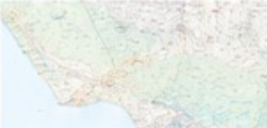
Los Angeles County
California
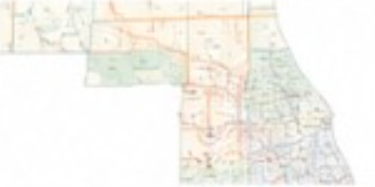
Cook County
lllinois
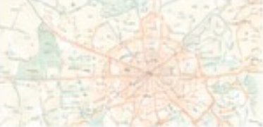
Harris County
Texas
Maricopa County
Arizona

Blank County Maps
Unlabeled maps for custom use

Labeled County Maps
Maps with county names included

Printable PDF Maps
High Quality PDFs ready to print

Interactive Maps
Explore Counties Online

State Maps
View All Couties by State

County Seat Maps
Maps With County Seat Locations
What Is a County Map?
A county map shows the boundaries and names of counties within a state or the entire United States. Our maps are ideal for education, research, business, travel, and reference.
How Many Counties Are in the US?
There are 3,142 counties in the United States across 50 states. Texas has the most with 254 counties, while Alaska has the fewest with 29 boroughs.
Perfect for Education & More
Our printable county maps are widely used by teachers, students, researchers, and travelers for projects, presentations, and reference.