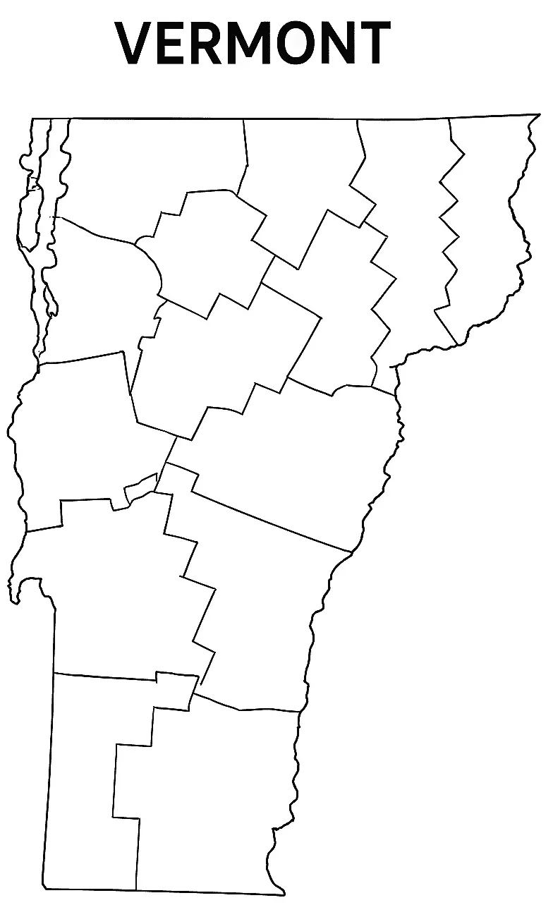
The Blank Vermont County Map is a versatile resource suitable for educational activities, classroom learning, and personal exploration. Located in the New England region of the United States, Vermont shares borders with New York, New Hampshire, Massachusetts, and the Canadian province of Quebec. Known for its scenic landscapes, historic character, and picturesque rural communities, Vermont offers a unique setting for geographic study and exploration.
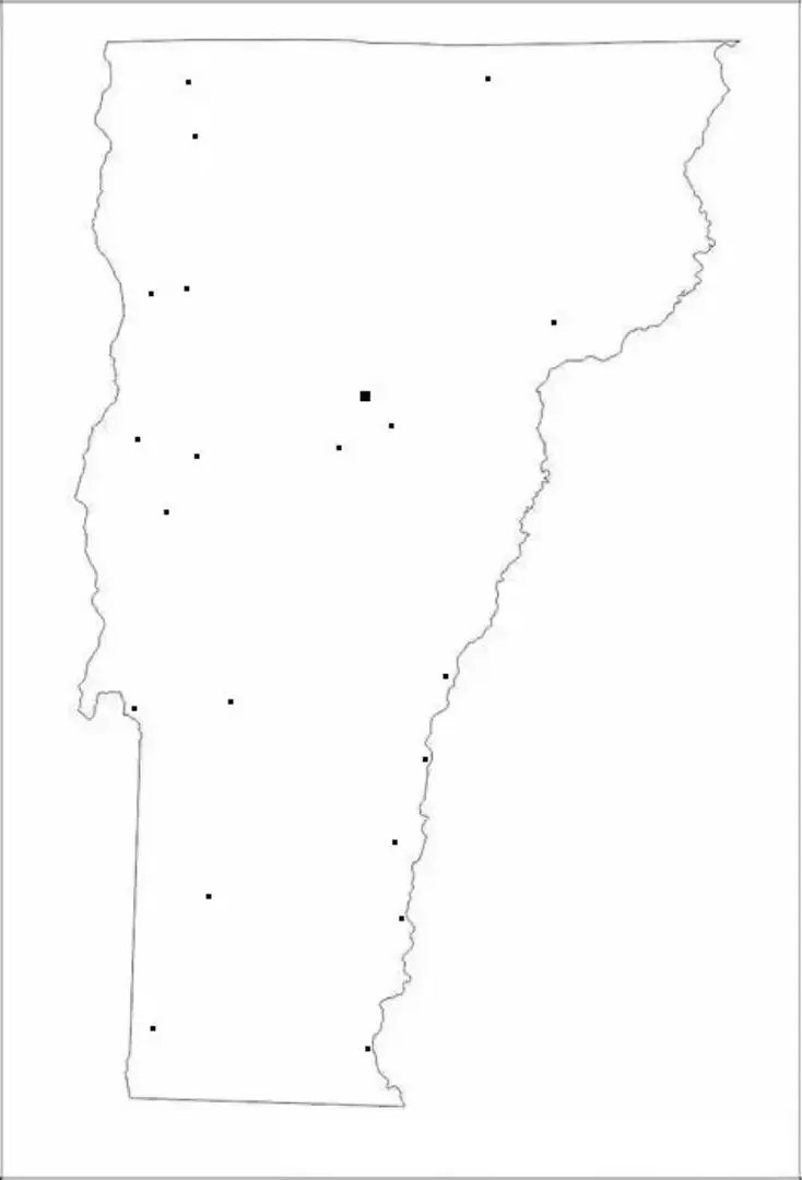
The Blank Vermont County Map provides an unlabeled outline that can be used to identify and mark major cities such as Burlington, Montpelier, and Rutland, along with counties, rivers, mountain ranges, and other geographic features. It is widely used by students and educators as a practical learning resource for studying Vermont’s regions, historical developments, and geographic diversity across the state.
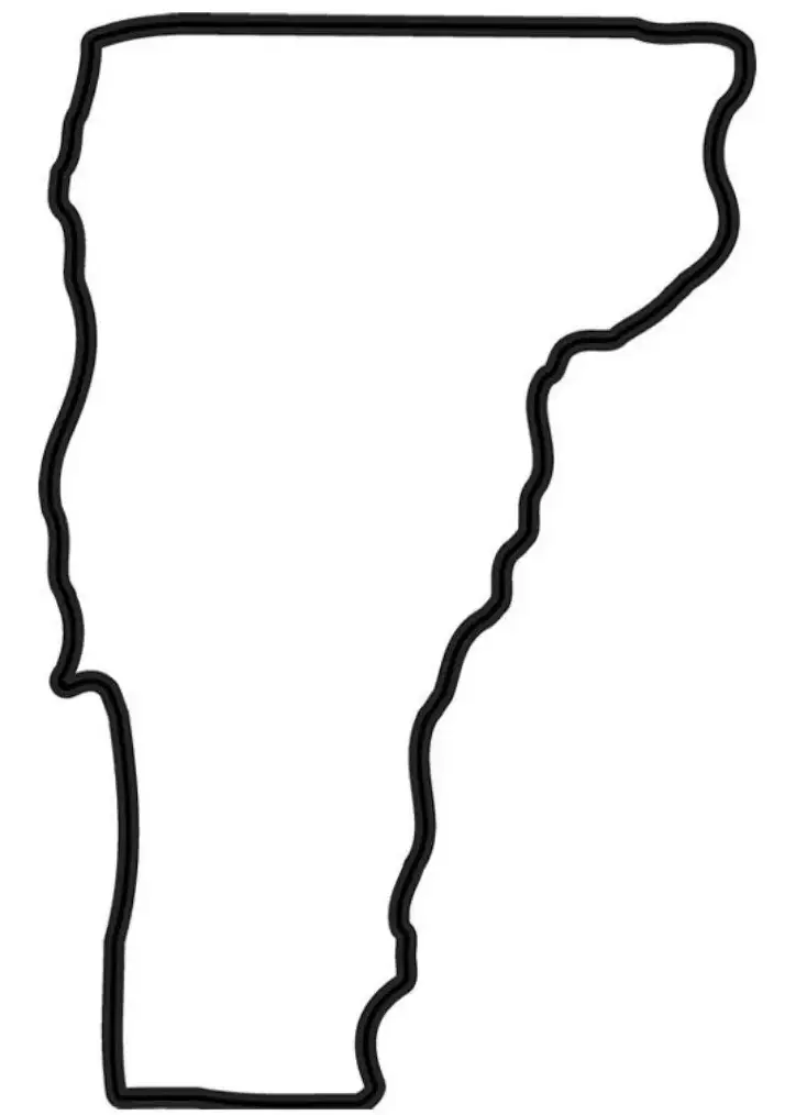
The Blank Vermont Map is also a practical tool for travelers, planners, and geography enthusiasts who want to mark routes, destinations, or areas of interest. Its flexible design makes it suitable for studying political boundaries, natural landscapes, and cultural landmarks across the state. Users can personalize the map by adding labels, colors, and notes, making learning more engaging and improving information retention. This interactive approach makes it an excellent resource for classroom activities, presentations, and research projects. Whether used online or printed for offline use, the Blank Vermont Map is a valuable reference for exploring the geography and unique features of Vermont.
Vermont, often called the Green Mountain State, is a scenic state located in the northeastern United States. It is known for its vibrant autumn colors, rolling mountains, charming small towns, and strong connection to nature. Vermont shares borders with New York, New Hampshire, Massachusetts, and the Canadian province of Quebec. The state capital is Montpelier, while Burlington is the largest city. Vermont is famous for its maple syrup production, world-class ski destinations, and commitment to environmental sustainability. Its rich history, independent spirit, and peaceful rural atmosphere make it a unique and attractive place to live, visit, and explore.
A Vermont Map Worksheet is an effective educational resource designed to help students learn about the geography of the Green Mountain State. These worksheets often feature blank or labeled maps that allow learners to identify and mark important locations such as major cities, rivers, mountain ranges, counties, and neighboring states. Commonly used in classrooms, they support lessons on state capitals, geographic features, and regional landmarks while encouraging interactive and hands-on learning.
Many Vermont map worksheets also include activities such as coloring, labeling, and answering geography-related questions to make learning more engaging and interactive. These worksheets are widely used in classrooms and homeschooling programs to support visual and hands-on learning. By exploring Vermont’s location, shape, regions, and key geographic features, students can develop a deeper understanding of the state while improving their map-reading and critical-thinking skills.
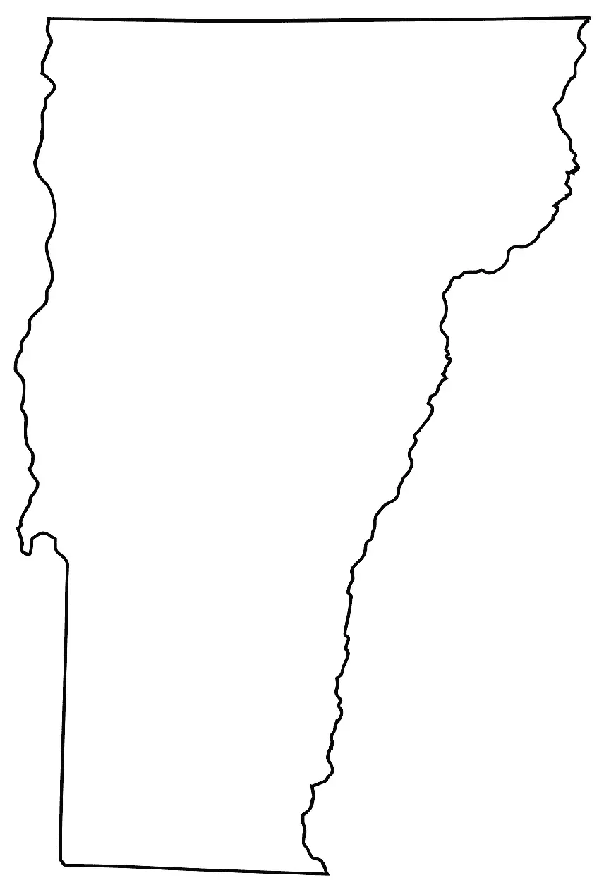
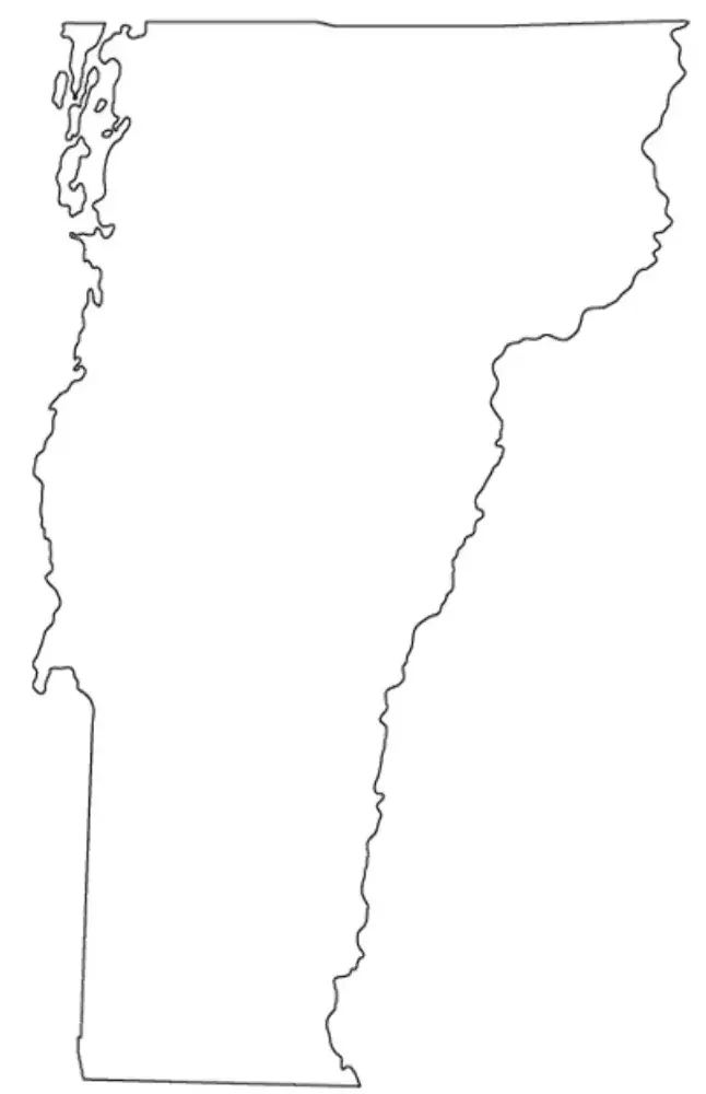
This map outline is commonly used in educational settings to help students identify important geographic features such as major cities, counties, rivers, and neighboring states. Learners can label, color, and annotate different areas of the map, making it an effective tool for reinforcing their understanding of Vermont’s geography and regional characteristics.
The Vermont map outline is also an excellent resource for quizzes, classroom assignments, and research projects. Its simple, uncluttered design provides a blank canvas for exploring and identifying the state's key geographic features. With clearly defined borders and minimal distractions, the map encourages interactive learning and helps students better understand Vermont’s location within the United States. It also supports activities such as labeling, coloring, and annotation, making it easier to visualize and remember important geographic details.
