Labeled California County Map – Cities and Features
A Labeled California County Map provides a detailed view of the Golden State’s geography, including its counties, major cities, highways, national parks, and important geographic features.
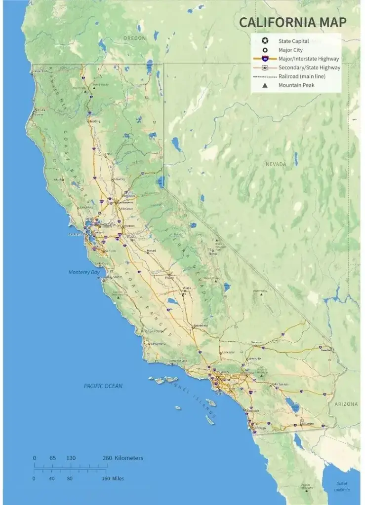
A Labeled California County Map provides a detailed view of the Golden State’s geography, including its counties, major cities, highways, national parks, and important geographic features.
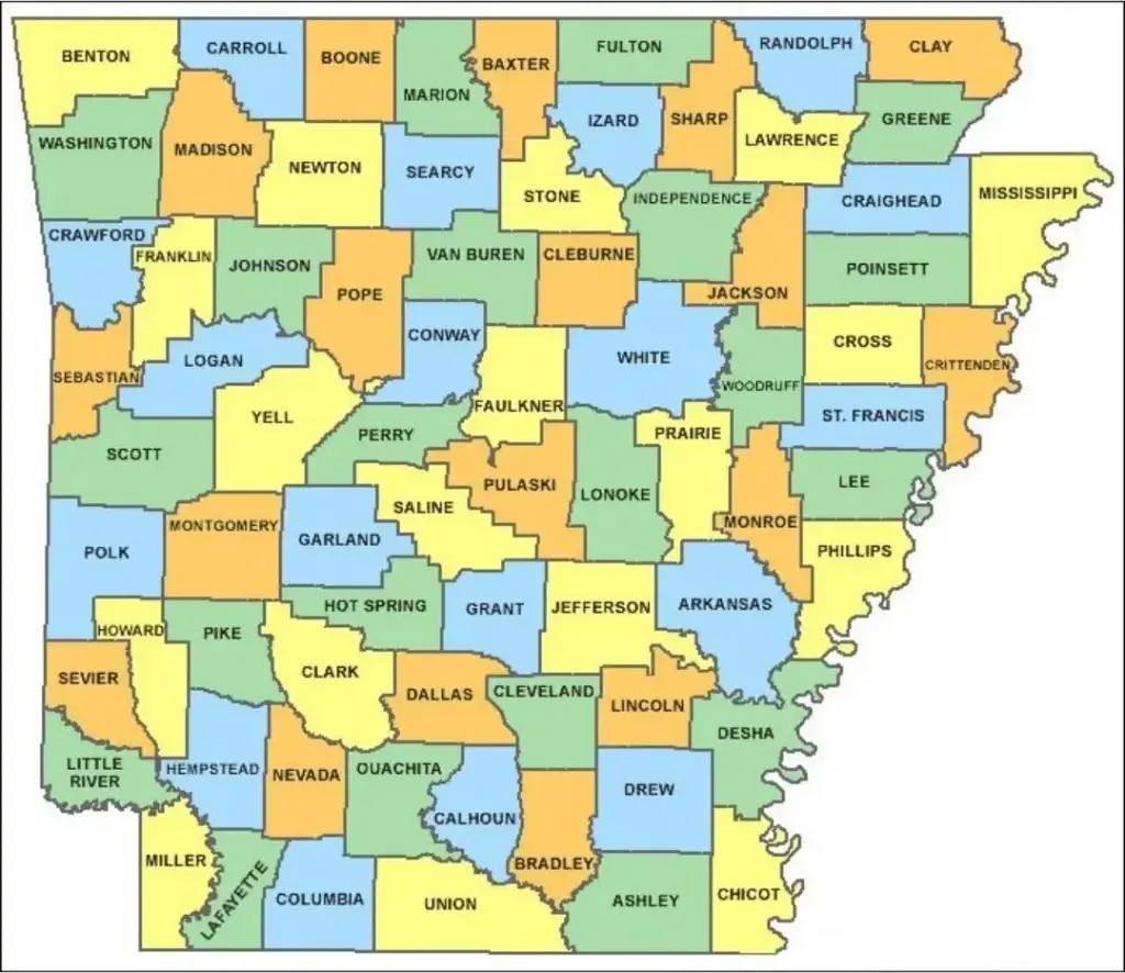
A labeled county map of Arkansas is a detailed visual representation showing cities, rivers, highways, counties, and other key geographic features.
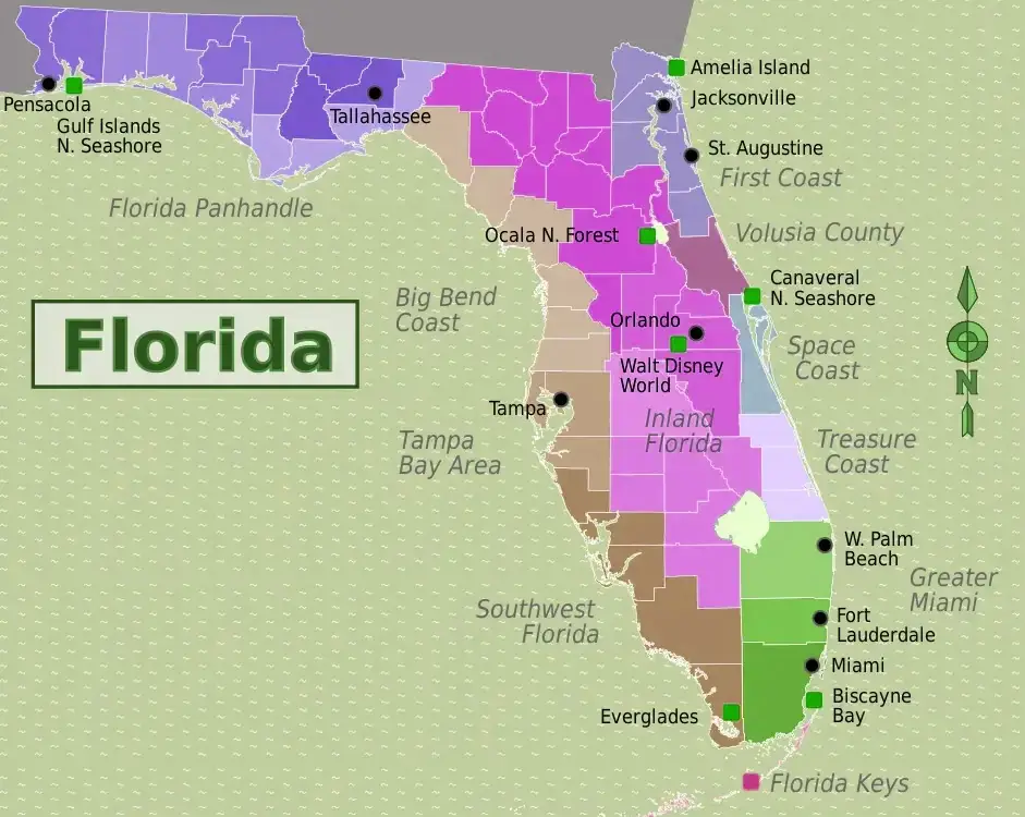
A Florida County Map is a valuable tool for exploring and understanding the different regions of the Sunshine State. Featuring all 67 counties, it highlights county boundaries, major cities, and key highways, making it useful for travel planning, navigation, and local research.
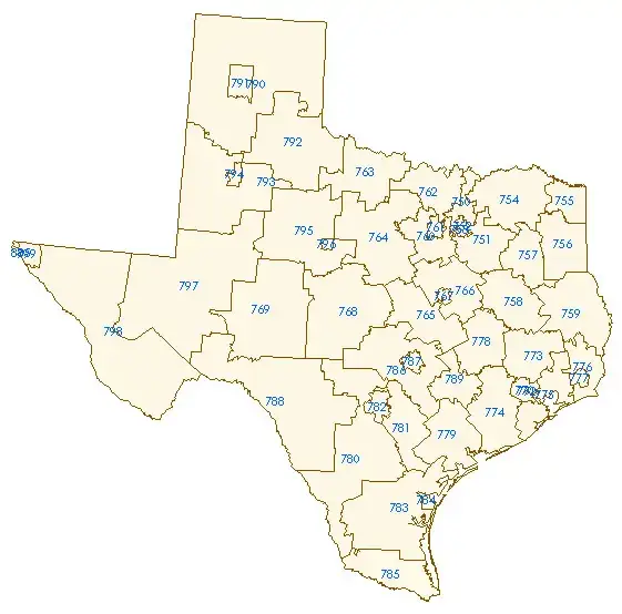
The Texas County Map is an important resource for exploring the diverse regions of Texas. With 254 counties—more than any other U.S. state—Texas benefits from detailed county maps that are useful for residents, travelers, and researchers alike. These maps help identify major cities, rural communities, and historical sites across the state’s vast and varied landscape.
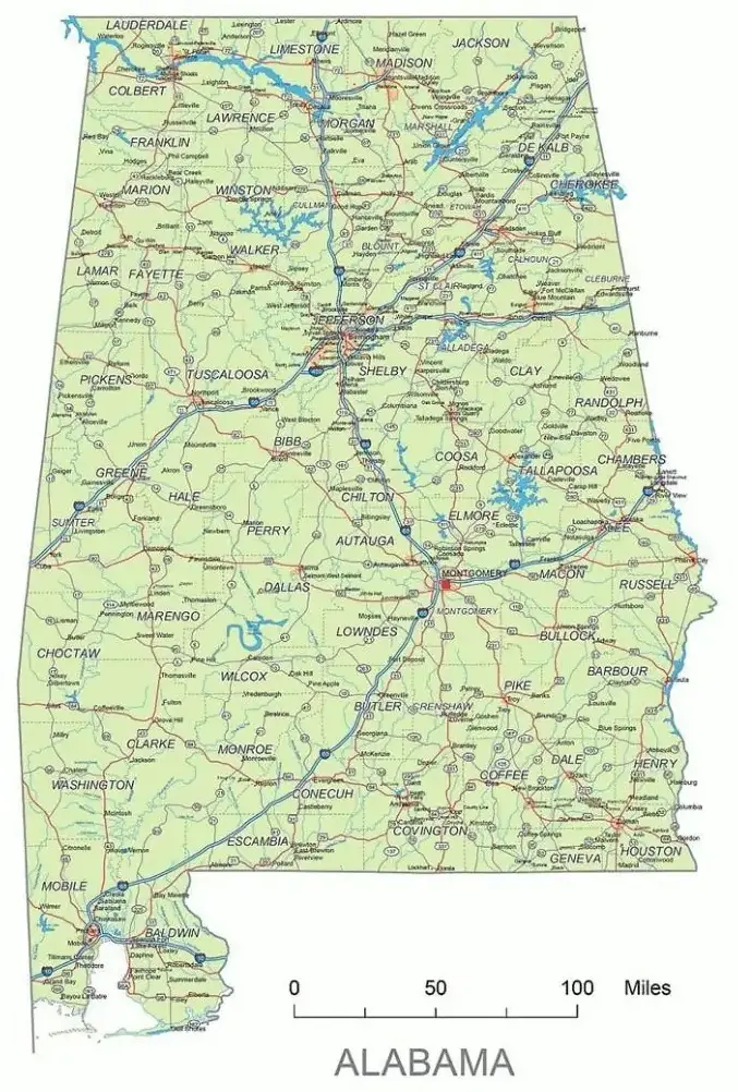
A Labeled Alabama County Map is a detailed visual resource that highlights the state’s counties, major cities, highways, rivers, and important geographic features.