
About Us
Who We Are
Creating accurate, detailed, and easy-to-use maps of the United States.
Our Story
Welcome to The US County Maps!
We’re passionate about maps, geography, and the rich diversity of America’s counties. With 3,143 counties across the United States, we noticed there wasn’t a single place where people could easily access high-quality county maps. So, we decided to create one.
Our mission is simple: to provide accurate, easy-to-use, and freely accessible county maps for everyone—from students and researchers to travelers, businesses, and map enthusiasts.
Today, The US County Maps offers comprehensive county and state maps covering the entire United States, with even more features planned for the future.
Explore our maps and discover the United States, one county at a time.
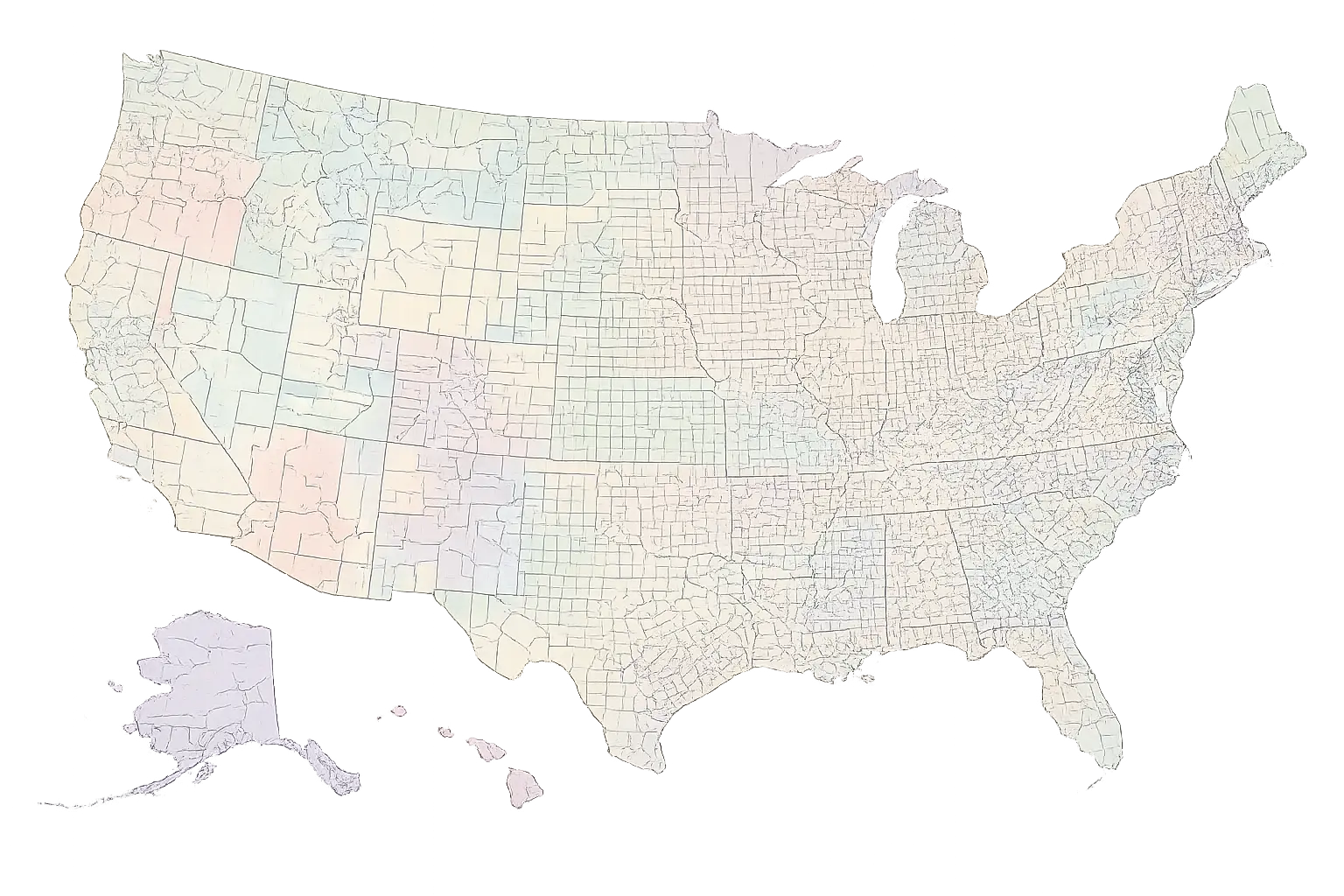
3,143 Counties
One United States
The Launch
The US County Maps officially went live. Our goal was straightforward: make clean, accurate county maps available for anyone to download and use for free.
All 3,143 County Maps Completed
Next, we created detailed state maps showing all counties within each state. These maps are color-coded, informative, and easy to navigate.
Topographic Maps Introduced
Our maps received a major enhancement with topographic data, allowing users to visualize the shape and elevation of the land in greater detail.
All 3,143 County Maps Completed
We systematically mapped every county in the United States. No county was left behind. Each of the 3,143 counties received its own dedicated map.
Nationwide County Map
We combined everything into a single comprehensive map of the United States, displaying every county from coast to coast in one view.
County Statistics
Maps are only the beginning. We are expanding our collection to include county-level statistics, such as population, land area, land cover, and other valuable geographic and demographic information.
Why Choose Us
What Makes Us Different?
We go beyond simple maps. Our focus is on accuracy, accessibility, and providing valuable geographic insights for everyone.
Whether you’re planning a road trip, conducting research, creating educational materials, or simply settling a debate about county boundaries, we’re here to help.
Comprehensive Coverage
All 3,143 counties, plus detailed state and topographic maps.
High-Quality & Accurate
Trusted data, clear visuals, and precise boundaries.
Free to Use
No hidden fees. Just reliable maps for everyone.
Customizable Options
Perfect for research, business, education, and travel.
Constantly Growing
We're always adding new features and valuable data.
Frequently Asked Questions
Got Questions? We've Got Answers.
As cartographers and geography enthusiasts, we have always been fascinated by maps and the stories they tell. This website was created to share that passion and provide a reliable resource for anyone interested in learning more about U.S. counties.
Our maps are created using Geographic Information Systems (GIS) software. GIS technology allows us to combine spatial datasets and produce highly accurate, detailed maps of counties across the United States.
Yes. Many of our maps are available for download and personal or professional use. We simply ask that users follow our usage guidelines and provide appropriate attribution when required.
We update our maps whenever significant boundary changes occur or when improved geographic data becomes available, ensuring our maps remain as accurate and current as possible.
Historical county maps are one of our most requested features. While they are not currently available, we hope to add them as we continue expanding our collection.
Absolutely. We value feedback from our users and are always looking for ways to improve the website. If you have a suggestion or special request, please don’t hesitate to contact us.
While our primary focus is map creation, some maps include basic demographic information. We also provide details such as county seats, FIPS codes, and county name origins. For extensive demographic statistics, we recommend consulting official sources such as the U.S. Census Bureau.