Missouri

Missouri

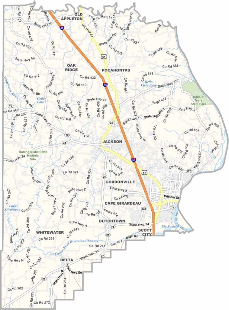
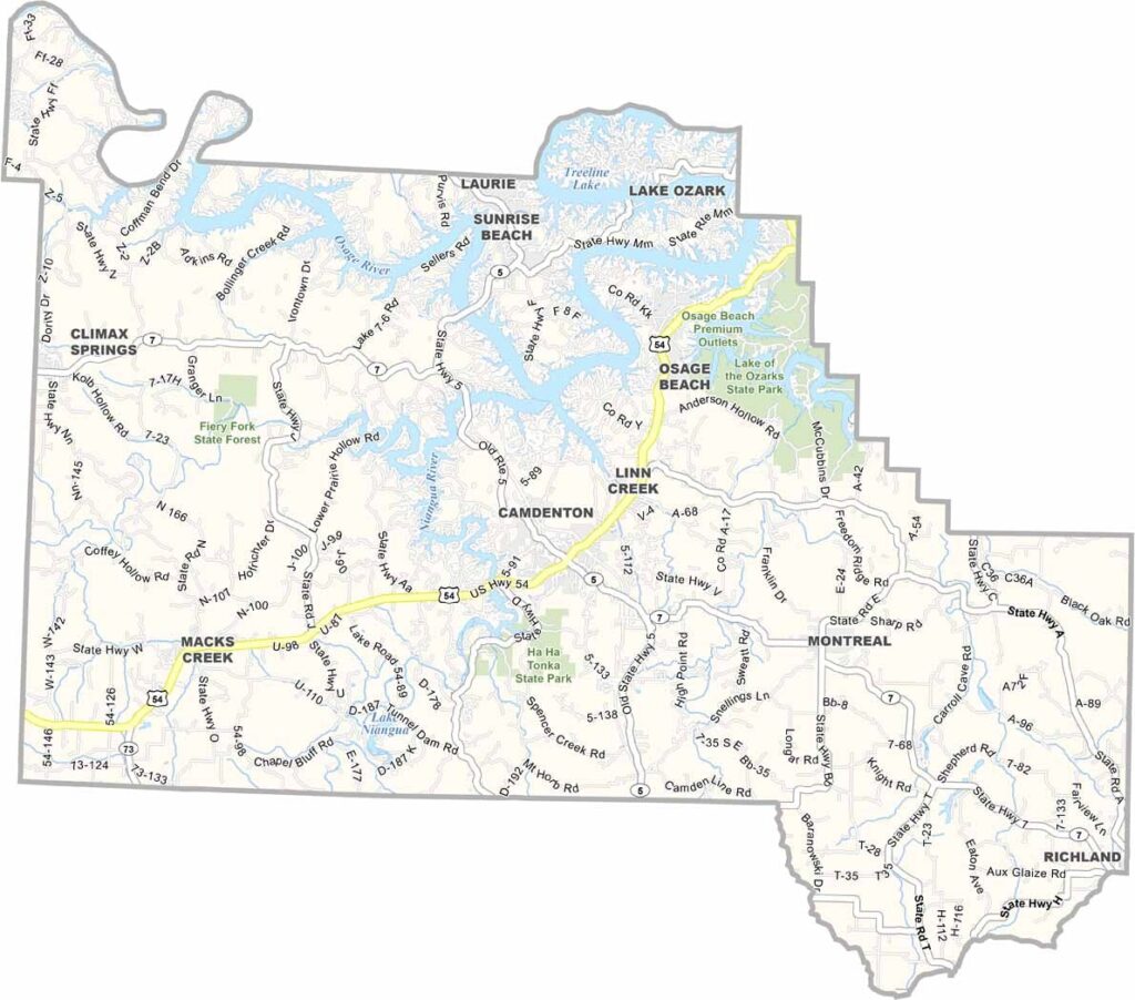
Camden County Map Missouri

Lake of the Ozarks is the defining feature of Camden County, located in central Missouri and known as one of the state’s premier vacation destinations. The lake attracts visitors from across the country and boasts an impressive shoreline that stretches for hundreds of miles.

Missouri

Cape Girardeau County Map Missouri

Cape Girardeau County is located in southeastern Missouri, with the mighty Mississippi River forming its eastern boundary and separating it from Illinois. Home to roughly 83,000 residents, it is one of the more populous counties in the region.

Missouri

Caldwell County Map Missouri

Caldwell County is located in northwest Missouri, not far from Kansas City. Agriculture shapes much of the landscape, with rolling hills, expansive cornfields, and grazing cattle defining this rural corner of the state.

Missouri

Callaway County Map Missouri

Callaway County is located in the heart of Missouri, just across the Missouri River from Jefferson City. The county’s western boundary is formed in part by Cedar Creek, adding to the area’s scenic landscape.

Missouri

Butler County Map Missouri

Butler County is located in Missouri’s Bootheel region, an area known for its flat terrain and fertile farmland. Agriculture remains a cornerstone of the local economy, supported by some of the richest soils in the state. The county seat and largest city, Poplar Bluff, is often called the “Gateway to the Ozarks.”

Missouri

Buchanan County Map Missouri

Buchanan County is located in northwest Missouri and is home to St. Joseph, the county seat and largest city. During the nineteenth century, St. Joseph served as an important departure point for settlers traveling westward across the frontier.

Missouri

Benton County Map Missouri

Benton County is located in the heart of Missouri and is known for its welcoming communities and scenic outdoor spaces. One of its most notable features is Harry S. Truman Reservoir, a popular destination for boating, fishing, and other water-based recreation.

Missouri

Bollinger County Map Missouri

Bollinger County is located in southeast Missouri, where agriculture remains an important part of everyday life. Corn and soybeans are among the county’s leading crops, helping support its rural economy, but farming is only part of the story.

Missouri

Barry County Map Missouri

Barry County lies in southwest Missouri, where the Ozarks showcase their natural beauty through rolling hills, clear streams, and vibrant forests. The county seat is Cassville, while communities like Monett and Shell Knob add to the area’s charm.

Missouri

Barton County Map Missouri

Barton County lies in the western reaches of Missouri, where the prairie landscape begins to blend into the Great Plains. Wide-open spaces, gently rolling terrain, and expansive farmland create scenery that captures the essence of rural America.

Scroll to Top