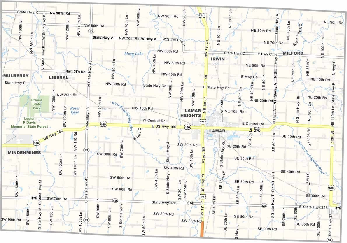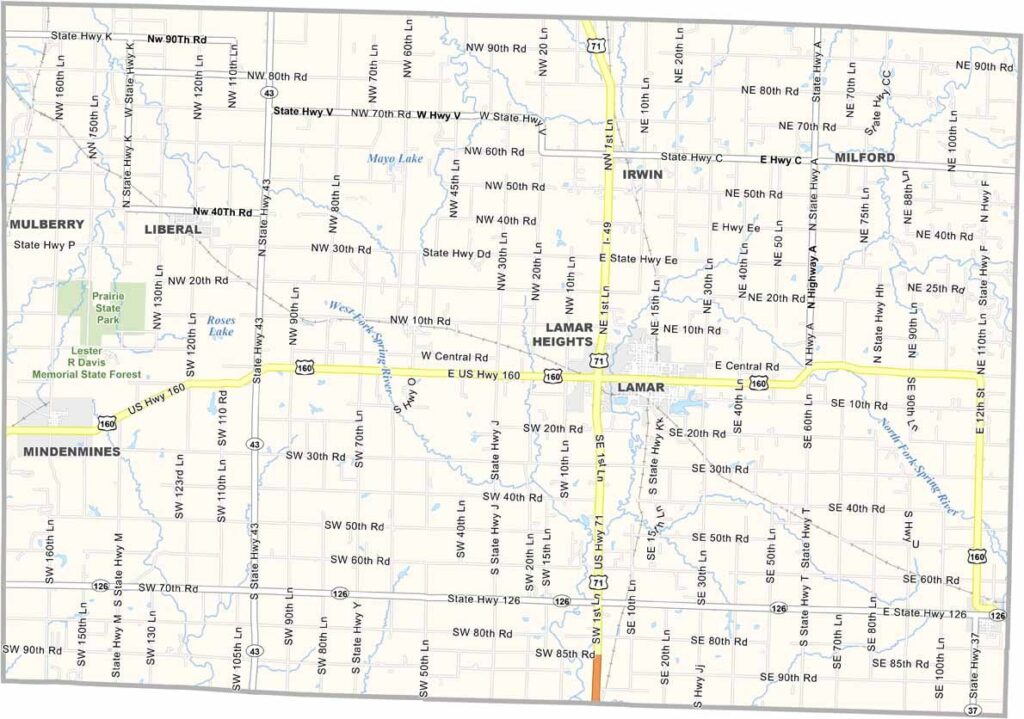
Barton County, Missouri

Barton County lies in the western reaches of Missouri, where the prairie landscape begins to blend into the Great Plains. Wide-open spaces, gently rolling terrain, and expansive farmland create scenery that captures the essence of rural America.

The county seat, Lamar, is best known as the birthplace of Harry S. Truman. Visitors can explore sites connected to his early life, offering a glimpse into the history of one of America’s presidents.

Agriculture remains the backbone of the local economy, with wheat fields and cattle ranches stretching across the countryside. Modern wind turbines now share the horizon with traditional farms, reflecting the county’s blend of old and new.
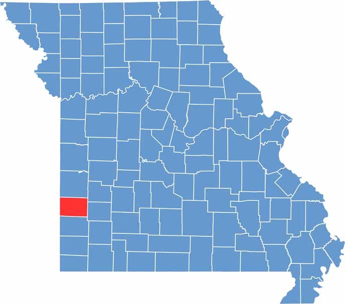

Barton County location map showing the county's position within Missouri.
Category Details
County Name Barton County
County Seat Lamar
Cities, Towns, and Communities Lamar, Liberal, Golden City, Mindenmines, Milford
Interstates and Highways US 71, MO 43, MO 126
Population Approximately 12,000
FIPS Code 29-011
Total Area (Land and Water) 597 square miles (Land: 592 sq mi, Water: 5 sq mi)
Time Zone Central Time Zone (CT)
State Missouri
Coordinates 37.5067° N, 94.3438° W
Etymology Named after U.S. Senator David Barton
Major Landmarks Harry S. Truman Birthplace State Historic Site, Lamar City Park, Prairie State Park
Adjacent Counties (and Direction) Vernon County (North), Cedar County (Northeast), Dade County (East), Jasper County (South), Crawford County, Kansas (West)
Scroll to Top