Missouri

Missouri

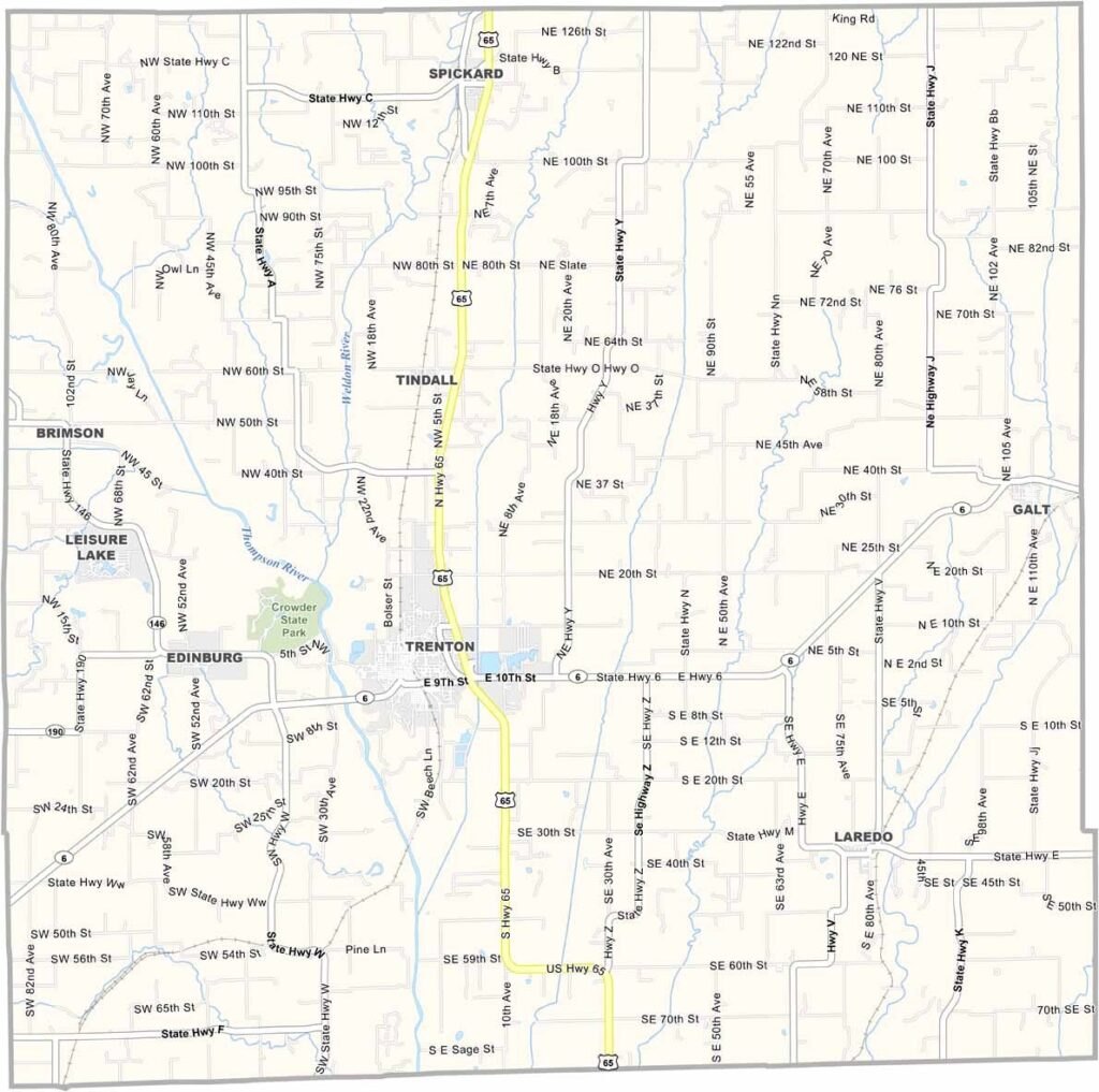
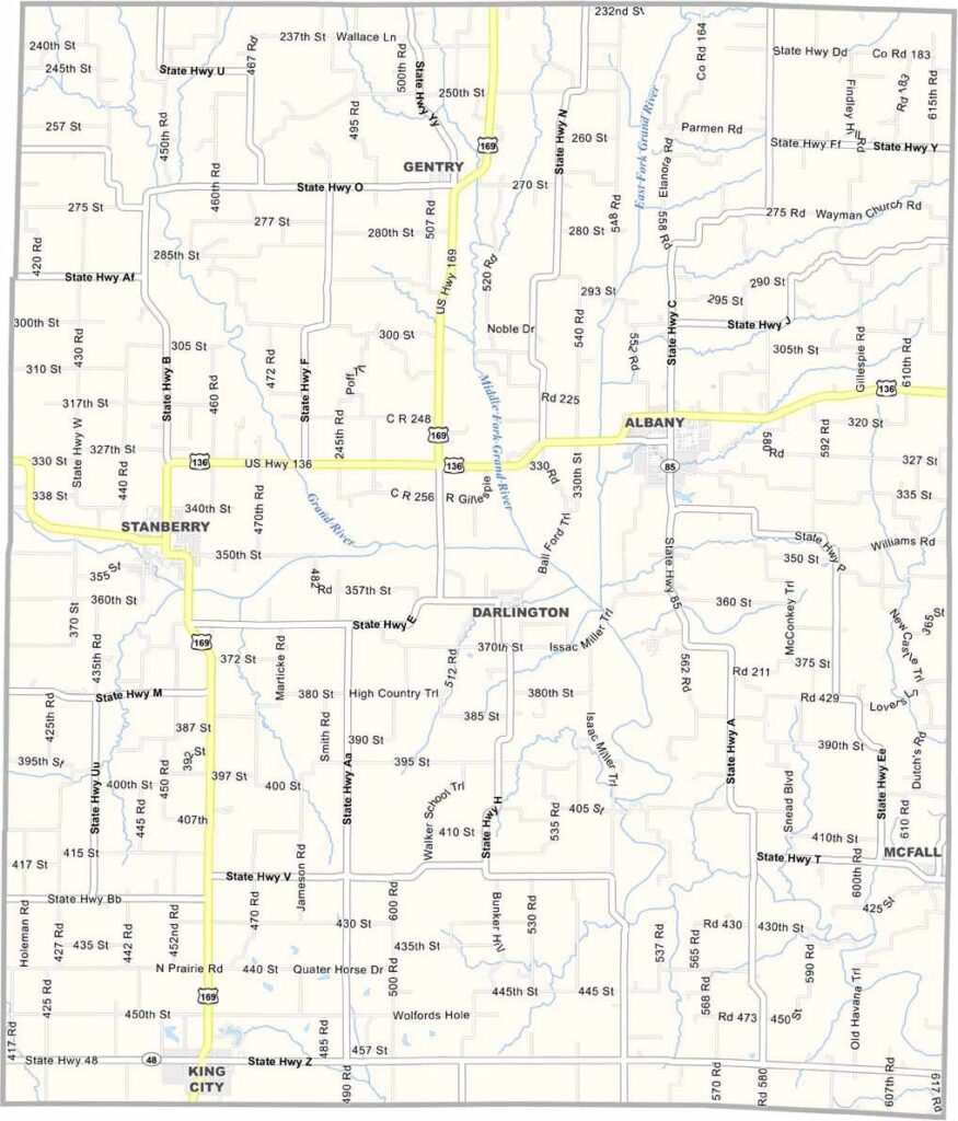
Gentry County Map Missouri

Gentry County is located in northwest Missouri, just south of the Iowa border. Agriculture is the backbone of the local economy, with cornfields, soybean farms, and cattle operations covering much of the countryside. The county is known for its hardworking residents and strong rural traditions.

Missouri

Grundy County Map Missouri

Grundy County is located in north-central Missouri, not far from the Iowa border. Agriculture shapes much of the landscape, with rolling hills, cornfields, and cattle farms stretching across the countryside.

Missouri

Gasconade County Map Missouri

Gasconade County, where vineyards thrive and rivers wind their way through the landscape. This part of Missouri lies about an hour west of St. Louis, with the Gasconade River running across it.

Missouri

Douglas County Map Missouri

Douglas County lies in south-central Missouri, where rolling hills stretch across the landscape and clear streams wind through the countryside. Residents value close-knit communities and take pride in the natural beauty around them.

Missouri

Dunklin County Map Missouri

Dunklin County, Missouri, lies in the Bootheel region, where farming is at the heart of daily life. The rich soil supports a strong agricultural economy, and cotton remains one of the county’s most important crops.

Missouri

Dent County Map Missouri

Dent County rests in the Ozark Highlands of south-central Missouri. The county seat, Salem, sits along Highway 68. With its rugged landscape and abundant outdoor opportunities, the area is a favorite among nature enthusiasts.

Missouri

Daviess County Map Missouri

Daviess County is located in northwest Missouri, roughly an hour northeast of Kansas City. It’s classic farm country, where rolling hills, vast cornfields, and grazing cattle shape the landscape.

Missouri

DeKalb County Map Missouri

DeKalb County offers a glimpse of rural life in northwest Missouri. Located about an hour north of Kansas City, the county is anchored by its seat, Maysville, a small community of around 1,100 residents.

Missouri

Dade County Map Missouri

Dade County is located in southwest Missouri, where agriculture plays a major role in everyday life. Corn and soybeans are among the county’s leading crops, and the rural landscape is defined by productive farmland and open countryside. The largest city and county seat is Greenfield.

Missouri

Dallas County Map Missouri

You might not expect much from a small county in southwest Missouri, but Dallas County has its charms. Buffalo, the county seat, is home to about 3,000 people.

Scroll to Top