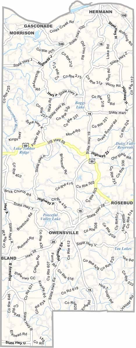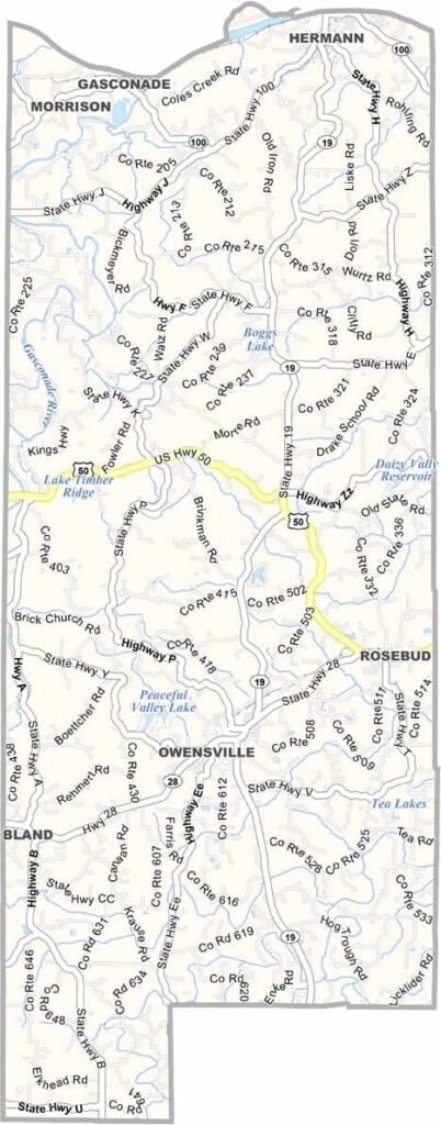
Gasconade County, Missouri

Gasconade County, where vineyards thrive and rivers wind their way through the landscape. This part of Missouri lies about an hour west of St. Louis, with the Gasconade River running across it.

It’s rural, but don’t underestimate it. Wineries dot the area, producing some of the finest wines in the state. The county’s strong German roots are reflected in its cuisine and local celebrations.

Hermann serves as the county seat, and visitors admire its historic architecture. Outdoor enthusiasts will find plenty to enjoy as well. Gentle hills, thick woodlands. It’s all here, along with the Missouri River, which marks the county’s northern edge.
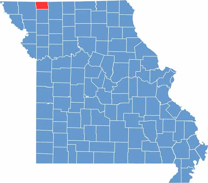

Printable Worth County Missouri location map showing county location and boundaries
Category Details
County Name Gasconade County
County Seat Hermann
Cities, Towns, and Communities Hermann, Owensville, Rosebud, Bland, Gasconade, Morrison, Mount Sterling
Interstates and Highways MO 19, MO 28, MO 100
Population Approximately 15,000
FIPS Code 29-073
Total Area (Land and Water) 524 square miles (Land: 518 sq mi, Water: 6 sq mi)
Time Zone Central Time Zone (CT)
State Missouri
Coordinates 38.4402° N, 91.5137° W
Etymology Named after the Gasconade River, which runs through the county
Major Landmarks Hermann Wine Trail, Deutschheim State Historic Site, Gasconade River
Adjacent Counties (and Direction) Hermann Wine Trail, Deutschheim State Historic Site, Gasconade River
Scroll to Top