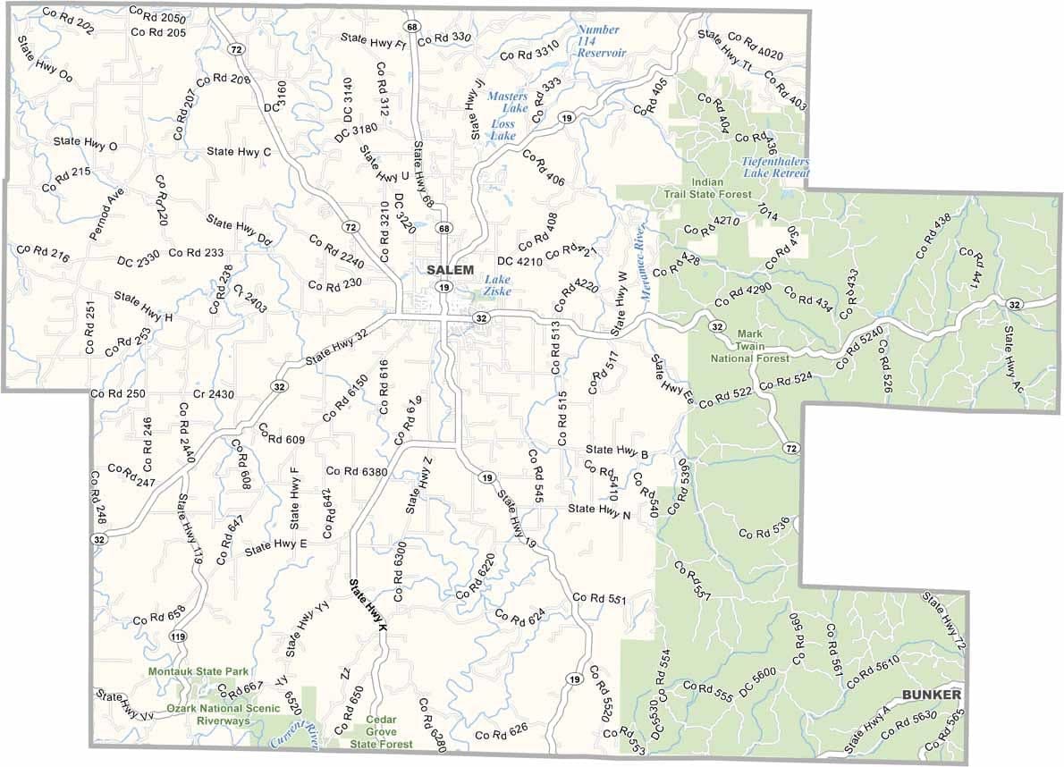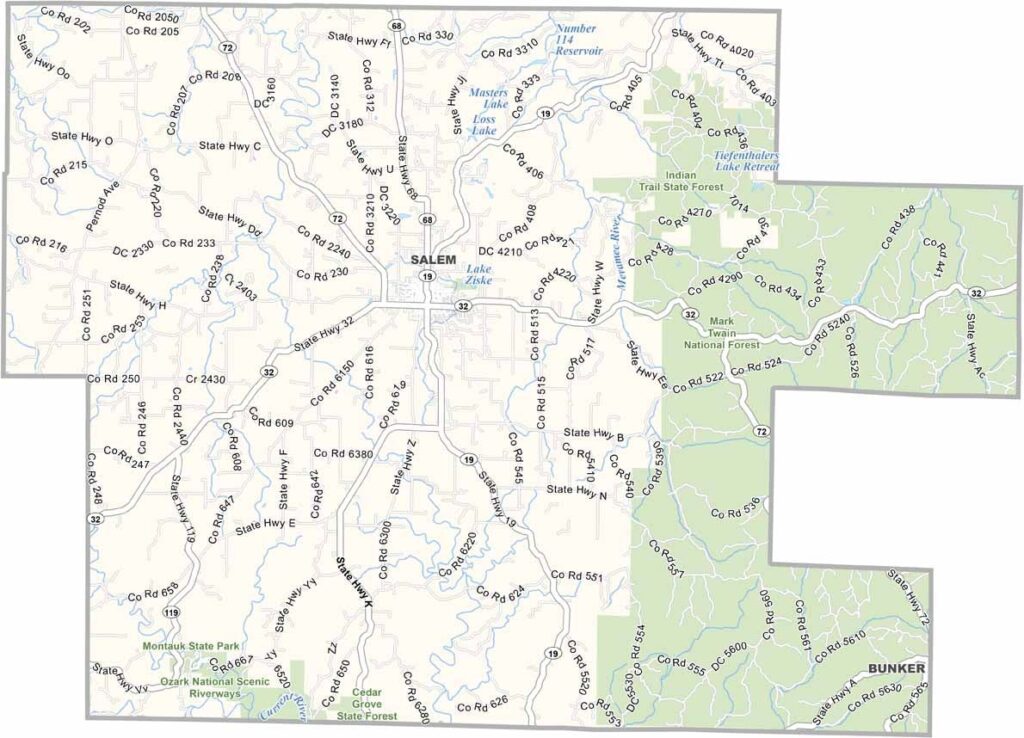
Dent County, Missouri

Dent County rests in the Ozark Highlands of south-central Missouri. The county seat, Salem, sits along Highway 68. With its rugged landscape and abundant outdoor opportunities, the area is a favorite among nature enthusiasts.

Steep ridges, deep valleys, and clear-running streams define much of the terrain. A significant portion of the eastern county is covered by Mark Twain National Forest, adding to its scenic appeal.

Hiking, camping, and fishing are popular activities throughout the year. During hunting season, deer and turkey hunting draw plenty of visitors. While logging and agriculture remain important to the local economy, tourism continues to grow as more people visit to float the crystal-clear, spring-fed Current River during the summer months.
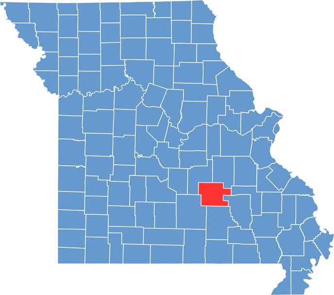

Dent County location map showing the county's position within Missouri.
Category Details
County Name Dent County
County Seat Salem
Cities, Towns, and Communities Salem, Jadwin, Boss, Bunker, Lenox, Lake Spring
Interstates and Highways MO 19, MO 32, MO 72
Population Approximately 15,000
FIPS Code 29-065
Total Area (Land and Water) 755 square miles (Land: 753 sq mi, Water: 2 sq mi)
Time Zone Central Time Zone (CT)
State Missouri
Coordinates 37.6226° N, 91.5155° W
Etymology Named after Lewis Dent, brother-in-law of Ulysses S. Grant
Major Landmarks Montauk State Park, Ozark National Scenic Riverways, Current River, ShawneeMac Lakes Conservation Area
Adjacent Counties (and Direction) Crawford County (Northeast), Iron County (Southeast), Reynolds County (Southeast), Shannon County (South), Texas County (Southwest), Phelps County (Northwest)
Scroll to Top