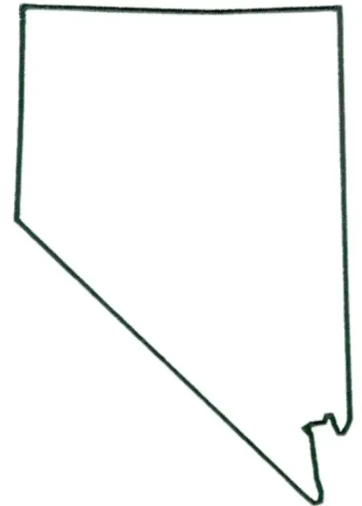
A free printable blank county map of Nevada is a versatile resource for educational, planning, and informational use. This unlabeled outline allows users to study and customize the state’s geography based on their needs.In classrooms, it supports interactive learning by helping students label major cities such as Las Vegas, Reno, and Carson City. Learners can also identify important physical features like the Sierra Nevada, Lake Tahoe, and the Great Basin, making it an engaging way to explore Nevada’s geography.
Blank maps are widely used in lesson plans, quizzes, and assignments to encourage map-reading and spatial thinking skills across Nevada. They provide a flexible base for students to actively engage with geography through labeling and analysis.Researchers, planners, and businesses also use blank Nevada maps to visualize data such as territories, demographics, and transportation routes. Nevada’s distinctive shape and vast desert landscapes offer unique opportunities for study and mapping.Available in both printable and digital formats, a blank map of Nevada is a versatile resource for creative projects, data visualization, and classroom activities, helping users develop stronger geographic understanding and insights into the state’s diverse regions.
Nevada is located in the western United States and is known for its desert landscapes, vibrant cities, and rich cultural heritage. The state is home to the world-famous entertainment destination Las Vegas, as well as Reno, often called “The Biggest Little City in the World.”The state capital is Carson City.
Geographically, Nevada features vast open plains and desert landscapes, including the Mojave Desert, as well as mountain ranges like the Sierra Nevada. The state is also known for its mining heritage and large areas of public land.With its mix of natural beauty, outdoor recreation, and vibrant cities, Nevada offers a unique combination of rugged landscapes and urban excitement, making it a dynamic place to explore.
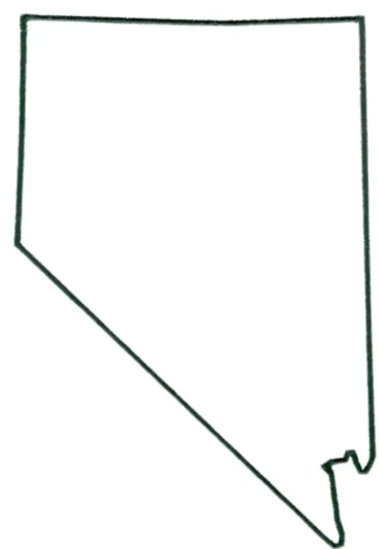
A Nevada map worksheet is an educational resource designed to help students learn about the geography of Nevada through interactive activities. These worksheets usually include blank or partially labeled maps that allow learners to identify key locations such as Las Vegas, Carson City, and Reno, along with features like Lake Tahoe and the Sierra Nevada.
Teachers use Nevada map worksheets to teach lessons about physical geography, historical sites, and political boundaries across Nevada. These worksheets help students develop map-reading skills and spatial awareness while encouraging hands-on learning.They are useful for quizzes, homework, and classroom discussions, making them a valuable resource for exploring the diverse landscapes and regions of the Silver State in an engaging and interactive way.
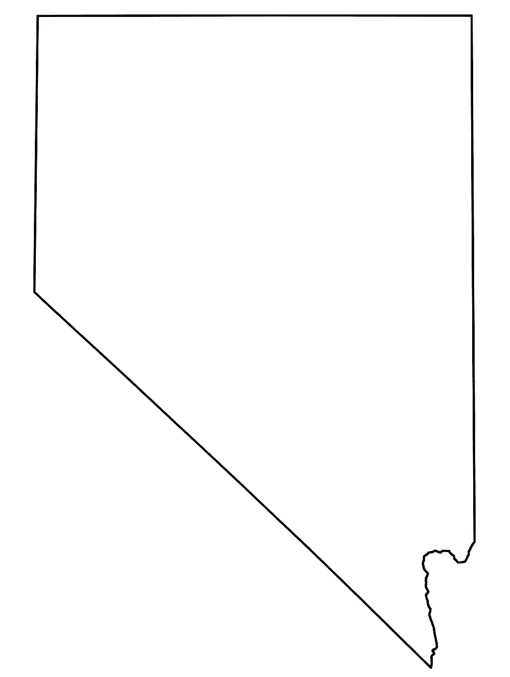
This outline map of Nevada shows only the state’s borders, making it useful for educational and planning purposes where understanding the land area and surrounding regions is important.The blank format, without internal labels, allows students and educators to customize the map by adding cities, landmarks, rivers, and mountain ranges, supporting interactive learning and a clearer understanding of Nevada’s geography.
Nevada has a distinctive rectangular shape, along with deserts and mountain ranges, making it especially useful for geography lessons and classroom activities.A Nevada outline map helps build spatial awareness and map-reading skills by allowing learners to clearly recognize the state’s layout. It is ideal for projects, quizzes, and visual presentations, offering an engaging way to explore the unique geography of the Silver State.

