
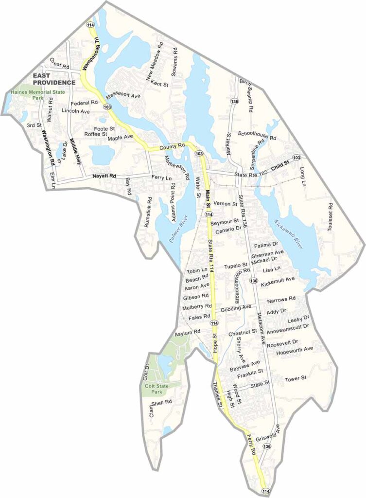
Bristol County, Rhode Island is located on the eastern edge of the state and may be the smallest county in Rhode Island, but it offers a rich blend of history, culture, and coastal charm. Known for its well-preserved colonial architecture and scenic waterfronts, Bristol County is a popular destination for residents and visitors alike.
The county is home to three distinctive communities—Bristol, Warren, and Barrington—each offering its own unique character and attractions. From picturesque harbors and beautiful shoreline views to fresh seafood and local dining experiences, Bristol County, Rhode Island provides something for everyone.
Outdoor enthusiasts can enjoy the natural beauty of Colt State Park, one of the top Bristol County attractions for picnicking, cycling, walking, and relaxing along Narragansett Bay. Whether you're sailing on the water, exploring historic landmarks, or dining at one of the area's acclaimed restaurants, Bristol County delivers an unforgettable experience.Combining small-town charm with a vibrant coastal lifestyle, Bristol County, Rhode Island is a must-visit destination for travelers looking to discover the best things to do in Bristol County.
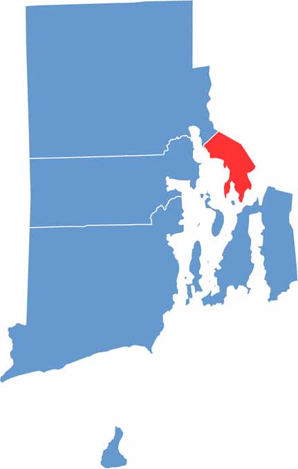
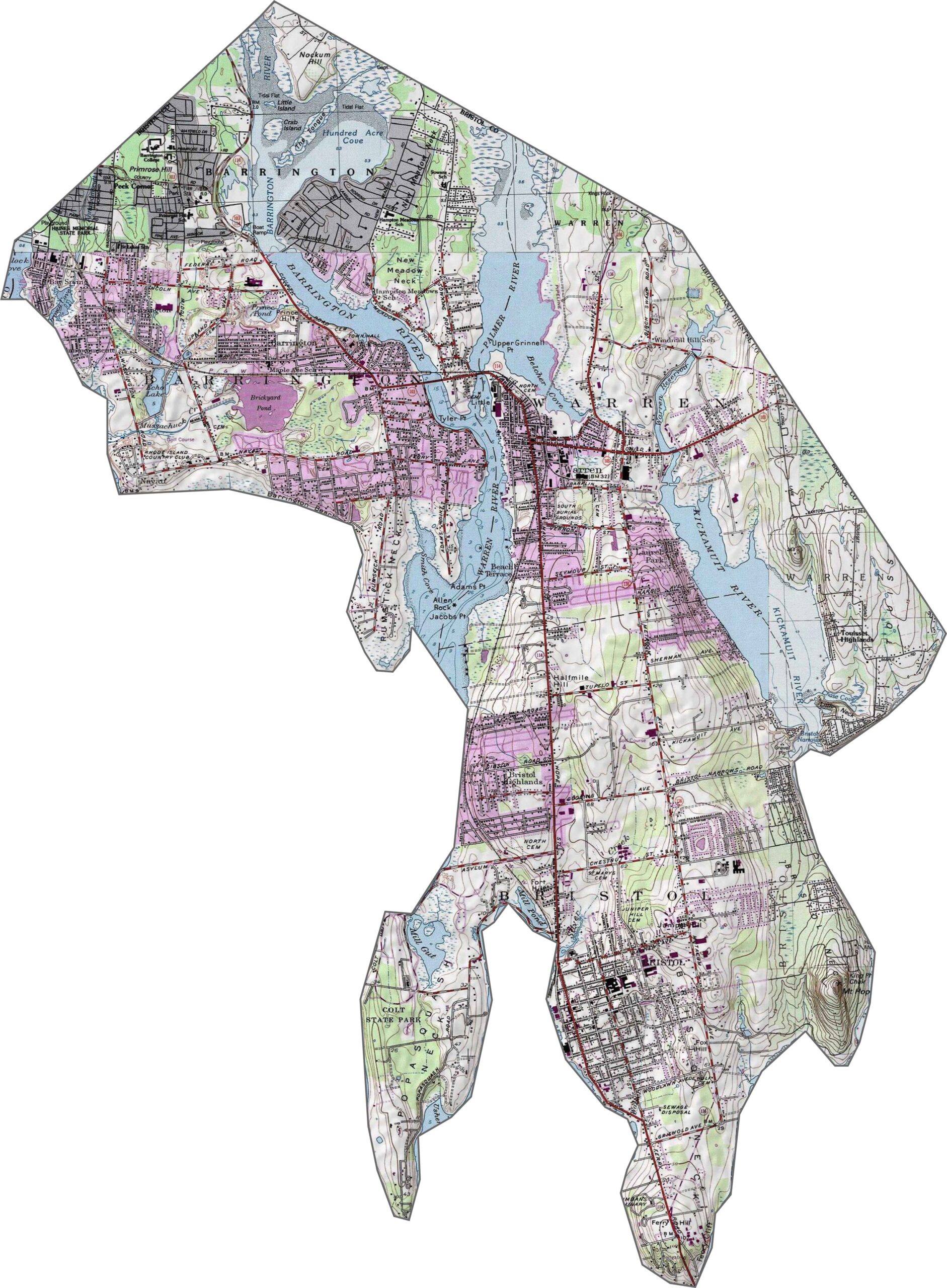
Bristol County is mostly flat, but the ocean plays a major role in shaping its topography. The land rises only slightly as you move inland. However, the coastline creates subtle elevation changes near the water. You'll find gentle slopes and a few low bluffs throughout the area. It’s coastal terrain without the dramatic peaks and valleys found elsewhere.
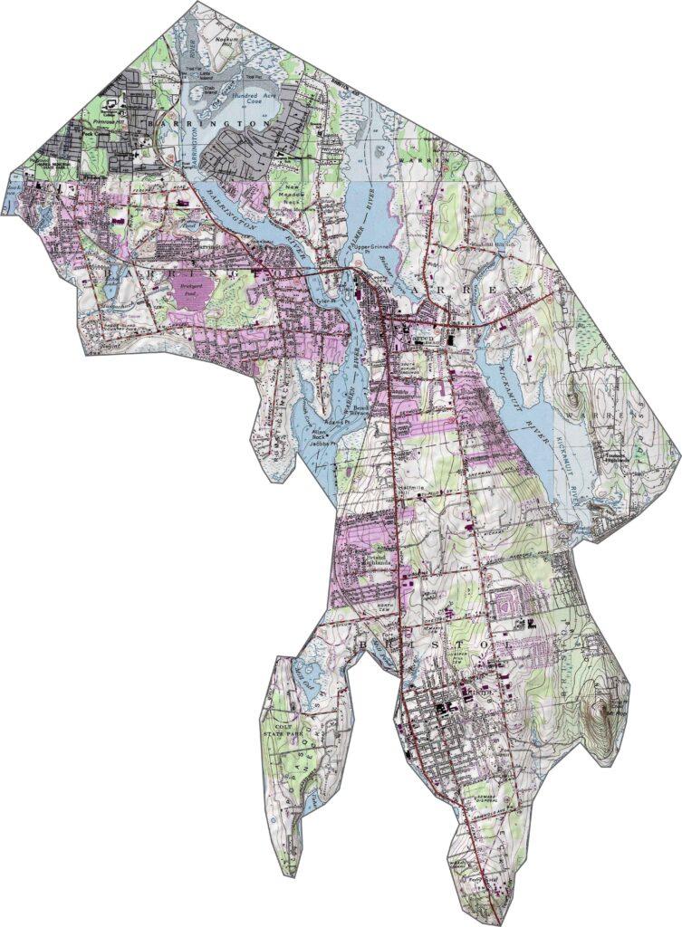
Bristol County’s roads stay close to the coast, providing easy access to the area's scenic waterfronts. The road network is relatively compact but well-connected. While there are no major interstates running through the county, many roads follow the shoreline, offering convenient travel and beautiful coastal views.
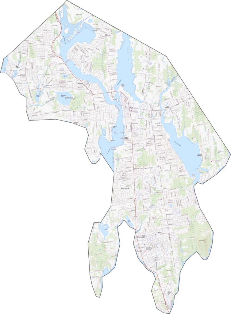
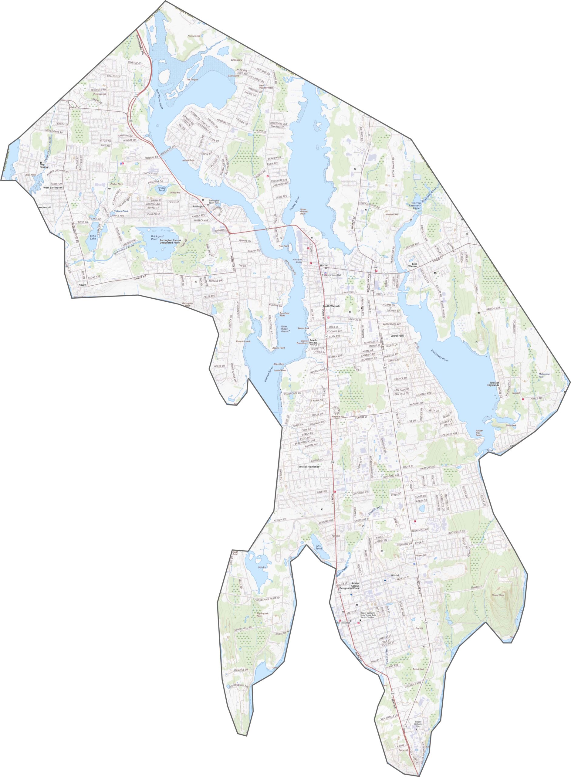
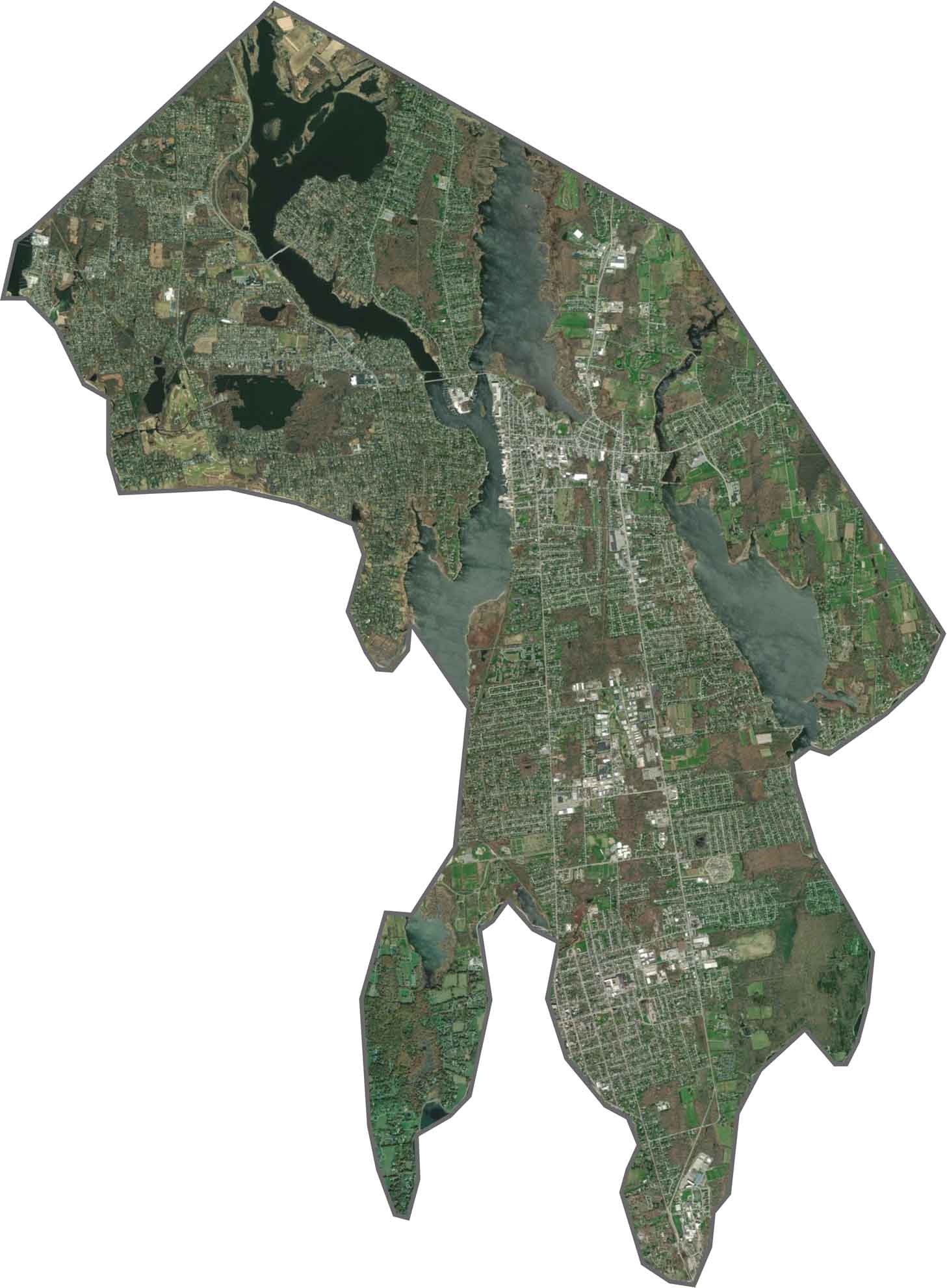
Water dominates the landscape in this topographic map of Bristol County. Bays, coves, and inlets cut into the land, creating a jagged and distinctive shoreline. Although the county is small, it features a dense mix of neighborhoods, wooded areas, and boat docks along the coast.
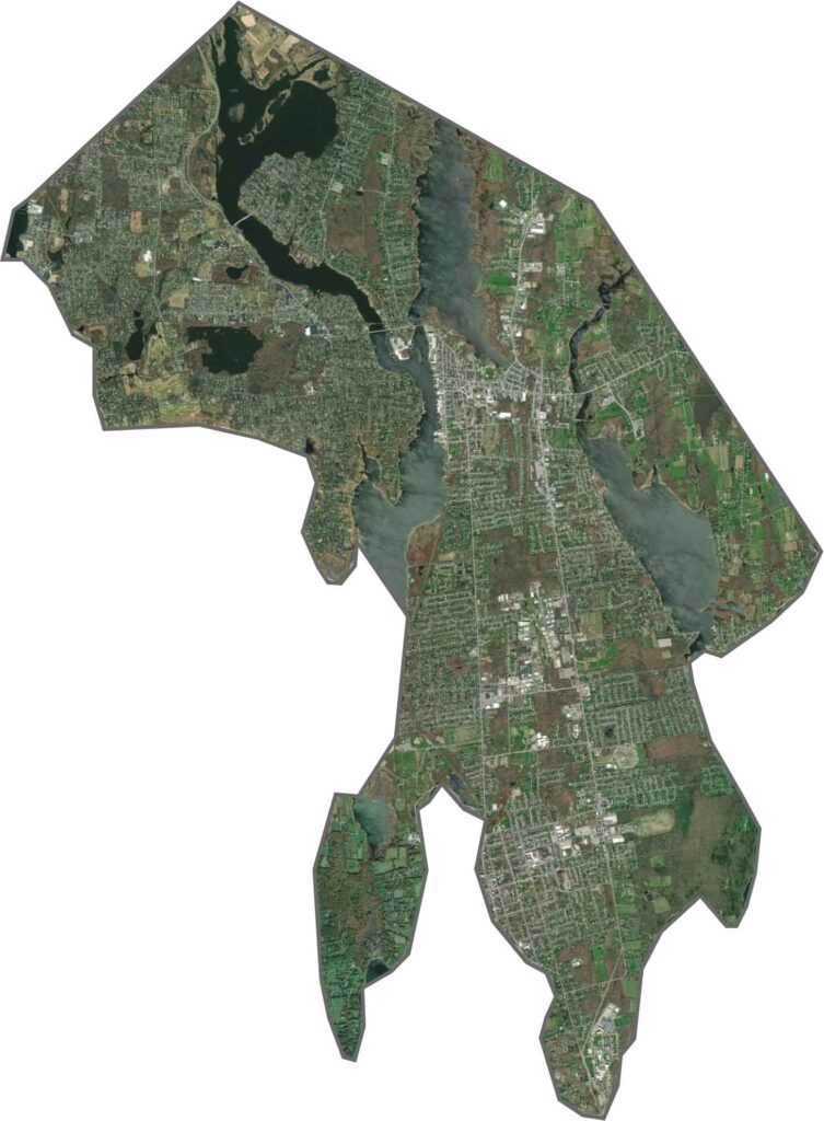
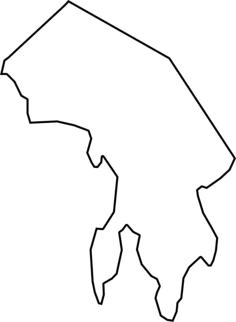
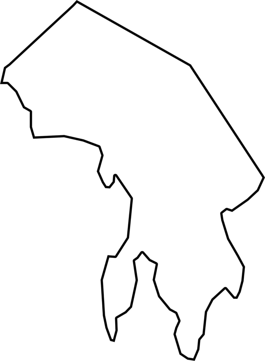
The shape of Bristol County is narrow and squeezed between two bodies of water. Its eastern edge is shaped by Mount Hope Bay, while the county borders Massachusetts to the east. Curving shorelines define much of its outer boundary rather than straight survey lines.
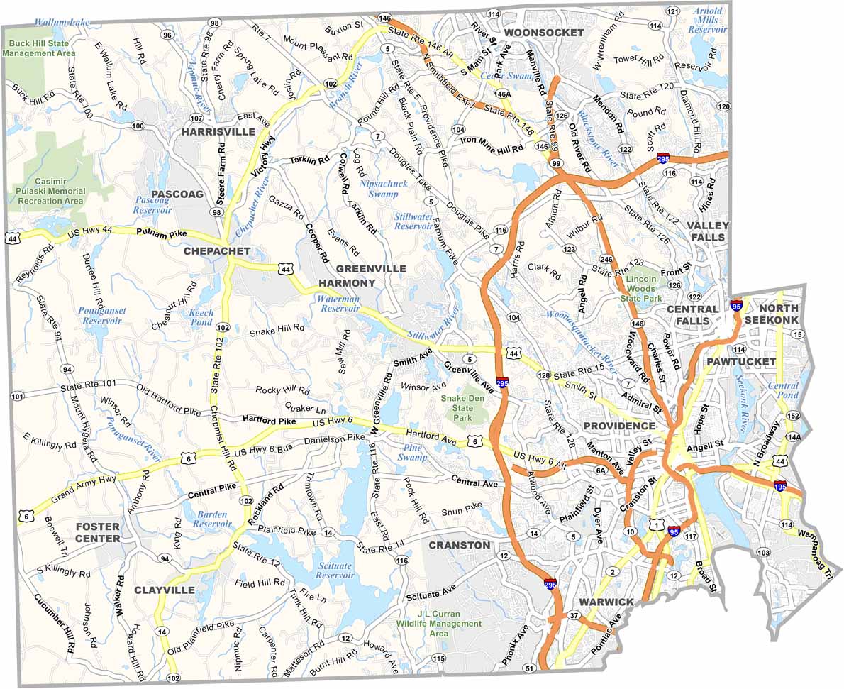
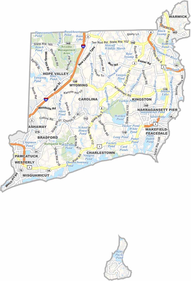
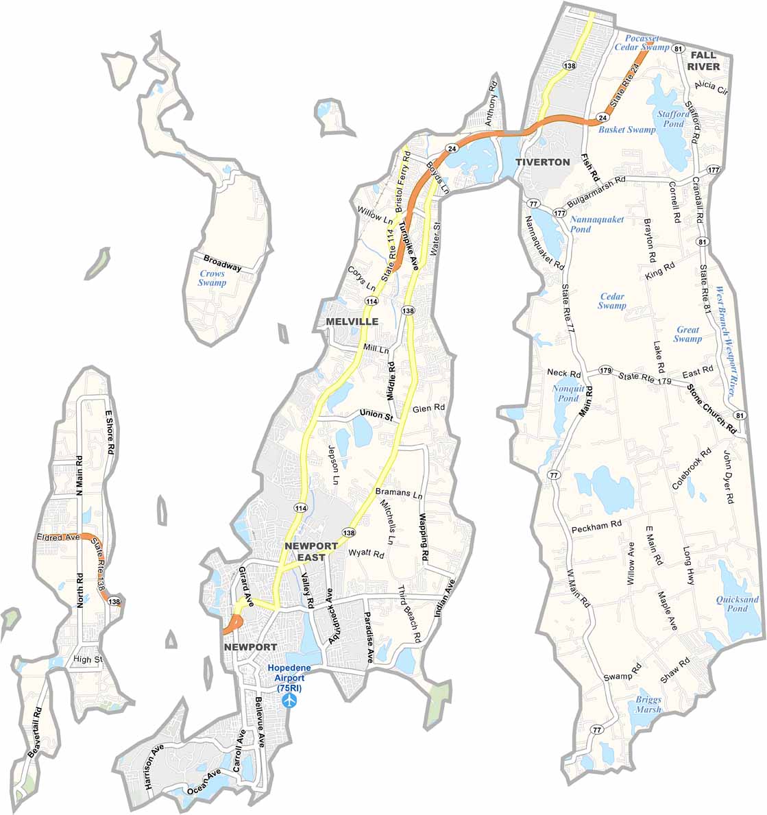
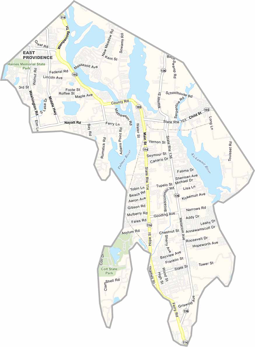
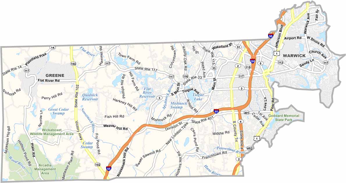

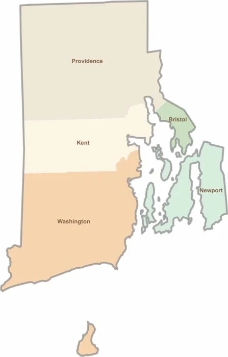
Rhode Island may have only five counties, but each offers its own distinct character. From scenic coastal communities and vibrant college districts to historic towns and peaceful wooded landscapes, the state packs a remarkable variety of places into a small area. Explore them all with our Rhode Island county map collection and discover the unique features that make each county stand out.