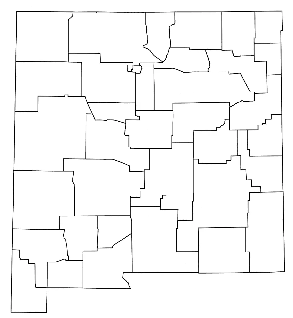
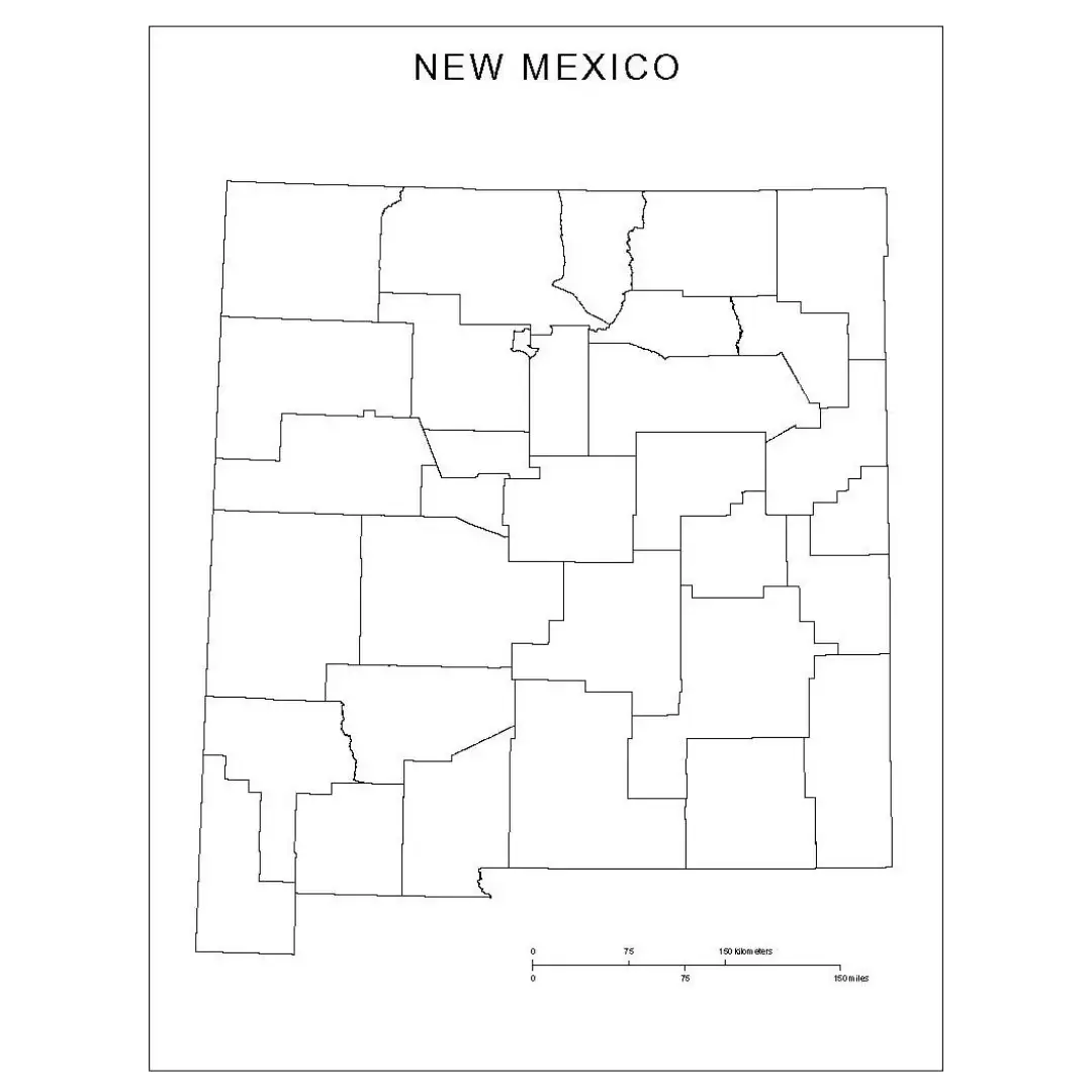
A free printable blank county map of New Mexico is a useful resource for students, researchers, and travelers. This high-resolution, unlabeled map allows users to study geography and test their knowledge of counties, cities, and natural features.It is especially helpful in classrooms, where students can trace routes, label important locations, and mark key landmarks such as the Rio Grande, the Sangre de Cristo Mountains, and historic towns like Santa Fe and Taos.
New Mexico reflects a rich blend of Native American, Hispanic, and Anglo cultures, which is also seen in its diverse geography, including deserts, foothills, high plains, and scenic mountains.A blank New Mexico map allows users to explore these regions interactively by customizing it for historical, cultural, or environmental studies. It can be used to locate state parks, trace historical routes, or learn about counties and cities in a clear and flexible way.Whether for education or travel planning, a blank map of New Mexico provides an engaging and practical tool for exploring the “Land of Enchantment.”
New Mexico is a uniquely rich blend of culture and natural beauty in the southwestern United States. It shares borders with Texas, Arizona, Colorado, and the country of Mexico.The state features a wide range of landscapes, including deserts, mountains, and forested areas, making it one of the most geographically diverse regions in the Southwest.
New Mexico is home to cities such as Albuquerque and Santa Fe, which reflect a distinctive mix of Native American, Hispanic, and Anglo cultural influences.The state is also known for its art, cuisine, and traditional adobe architecture. Whether visitors are drawn by its scenic landscapes or its rich cultural heritage, New Mexico offers a unique and memorable experience.
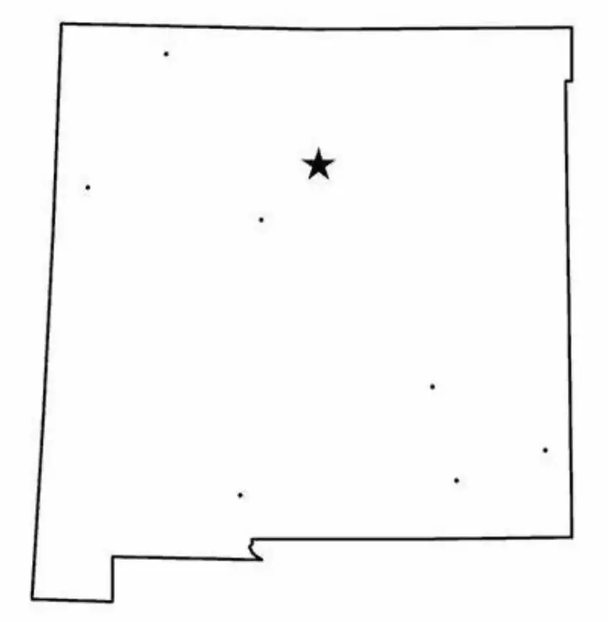
A New Mexico map worksheet is an educational tool designed to help students learn about the geography of New Mexico, including its major cities and physical features. These worksheets typically include blank maps that students fill in with locations such as Santa Fe, Albuquerque, and the Rio Grande.

These worksheets also include key landmarks, state borders, and natural features such as deserts and mountains across New Mexico. They help students develop map-reading skills, strengthen spatial awareness, and understand where New Mexico is located within the United States.They are commonly used for classroom activities, homework, and geography-focused lessons at various grade levels, making learning interactive and engaging.
An outline map of New Mexico shows a simple representation of the state’s borders without any internal labels or markings. This clean format makes it useful for both educational and creative purposes.It allows students and educators to focus on the state’s shape and geography while adding their own labels, making it a flexible tool for learning and map-based activities.
A blank map outline of New Mexico is commonly used by students and educators to label cities, rivers, mountain ranges, and neighboring states. It serves as a helpful exercise for learning regional geography, practicing map skills, and completing classroom projects.This type of outline map is also useful for coloring activities, quizzes, and teaching state history in an interactive and engaging way.

