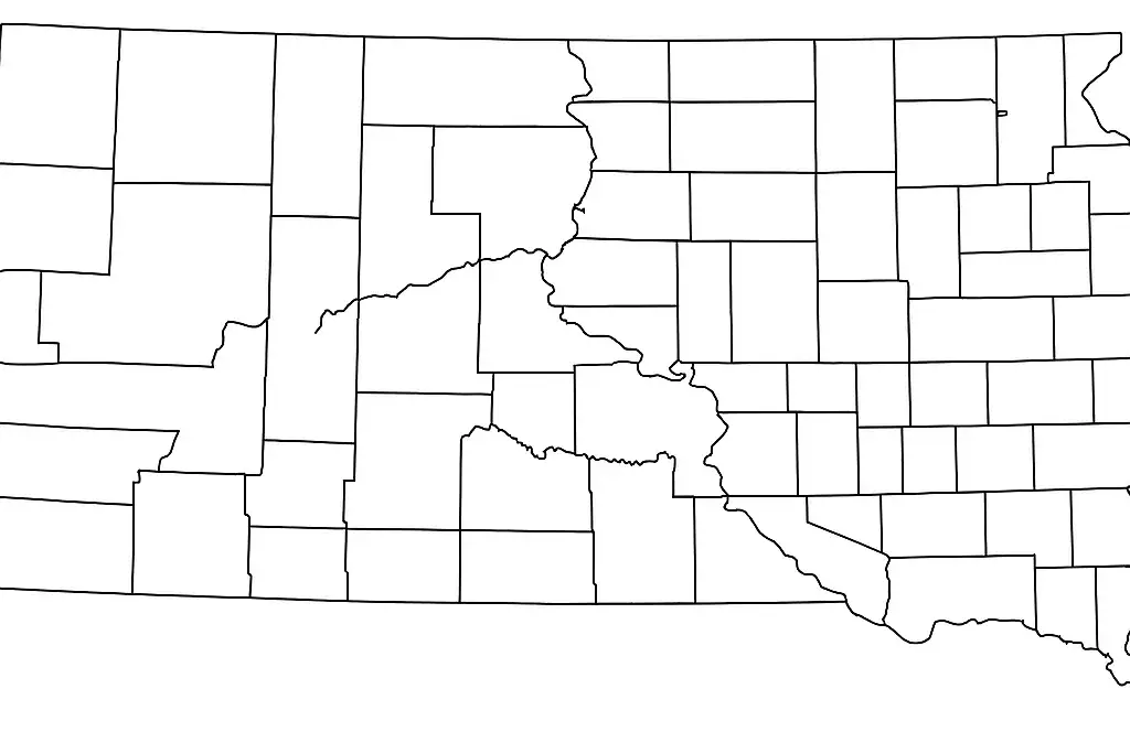
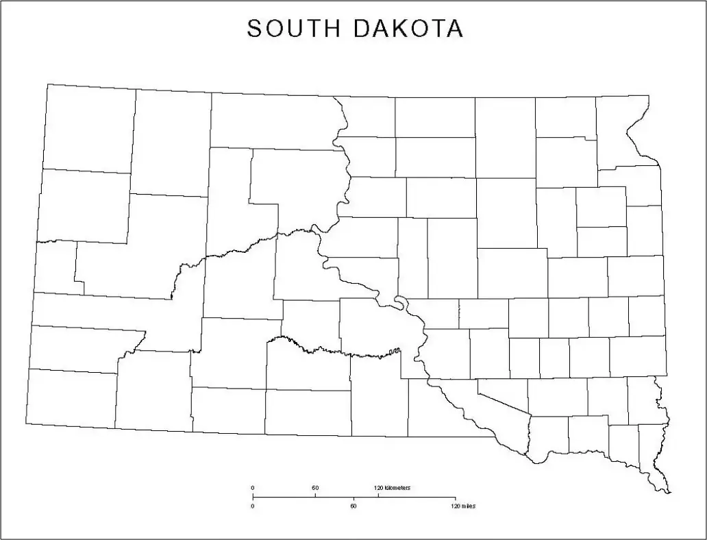
A blank county map of South Dakota is a useful tool for students, educators, travelers, and geography enthusiasts. It provides a simple outline of the state, allowing users to explore and learn its geographic structure in a hands-on way.This type of map is especially helpful for identifying counties, marking important landmarks, and understanding state borders, waterways, and transportation routes across South Dakota.
Much of South Dakota, a Midwestern state in the United States, features striking natural landscapes, including the Black Hills and rolling plains. The state is also home to well-known landmarks such as Mount Rushmore National Memorial, Badlands National Park, and Custer State Park.A blank South Dakota map can be used to locate and trace these important places, helping users understand their geographic positions within the state. It is also helpful for learning about cities, towns, counties, and the broader cultural and geographic features that make South Dakota unique.
South Dakota, also known as the Mount Rushmore State, is a Midwestern state in the United States with a rich history and diverse geography. It is home to iconic landmarks such as Mount Rushmore National Memorial, featuring the carved faces of four U.S. presidents, and Badlands National Park, known for its dramatic and unique rock formations.
South Dakota is divided between the flat eastern plains and the rugged Black Hills in the west. Its economy is largely supported by agriculture, tourism, and energy production.The state also has a rich cultural heritage, with strong Native American roots forming an important foundation of its history and identity.
Map worksheets for South Dakota help learners explore the state’s cities, landmarks, and regions in an interactive way. They typically include a blank outline map that allows students or enthusiasts to label major cities, rivers, national parks, and other important locations across the state.
This worksheet helps learners understand the real-world layout of South Dakota by allowing them to visualize key physical features such as the Black Hills, the Missouri River, and Mount Rushmore National Memorial.It is an important educational resource because it strengthens map-reading skills and helps students better understand the cultural and geographic diversity of South Dakota.
A printable political map is designed to help study political geography by showing the boundaries and divisions of countries, states, or regions. It often includes both blank and labeled versions that students can use for practice.These maps are commonly used to identify and label countries, states, capitals, and other political features, making them useful for learning and classroom activities.
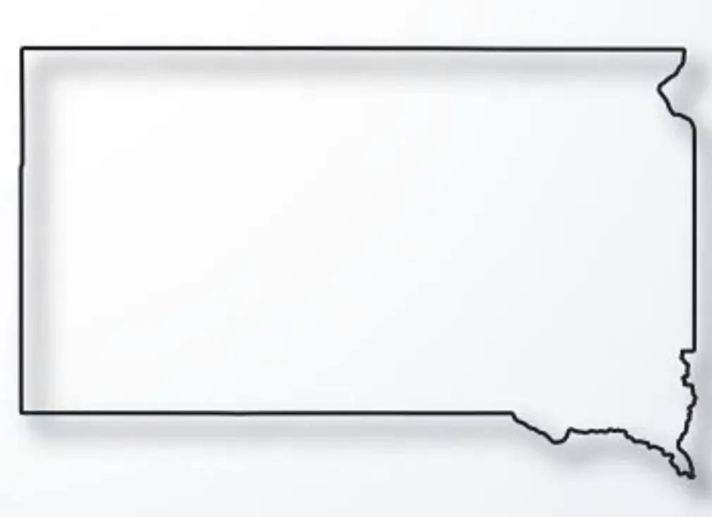
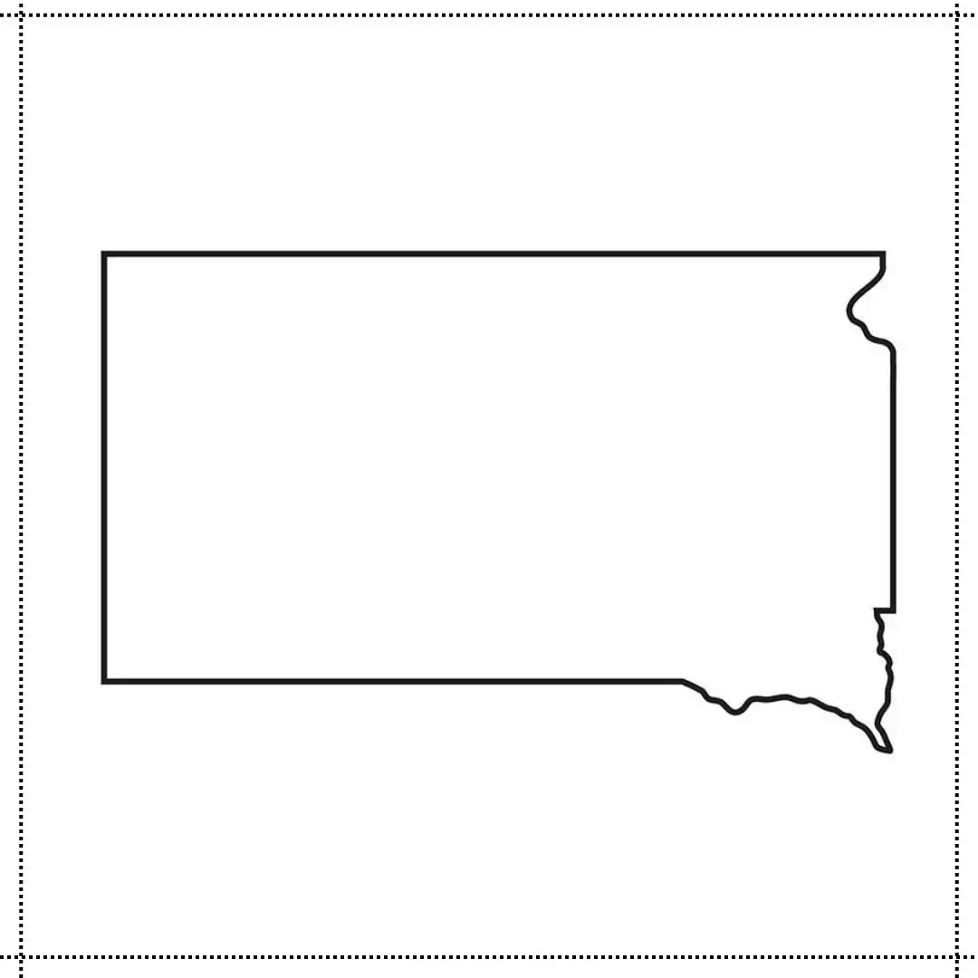
The outline map of South Dakota shows the state’s distinctive shape and borders, including reference to major geographic features such as the Missouri River and the Black Hills.It is a useful educational tool that helps students become familiar with the state’s geography while practicing map-reading skills in an engaging and interactive way.

