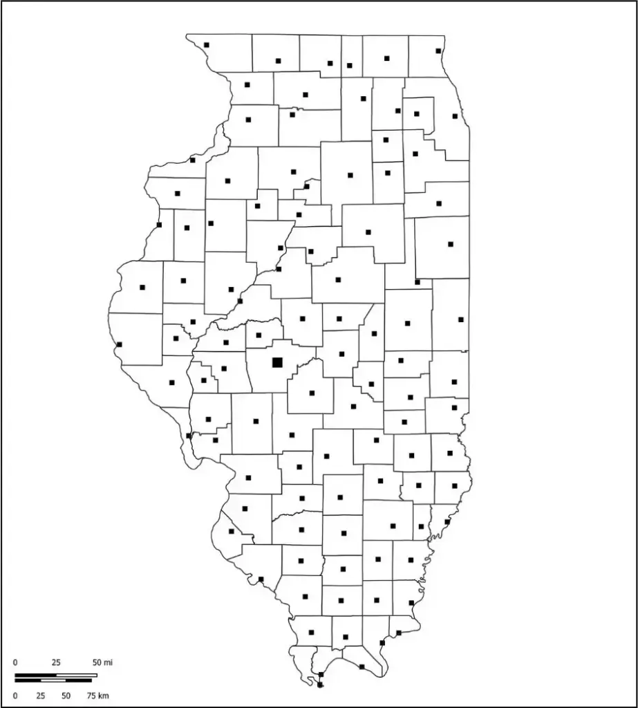
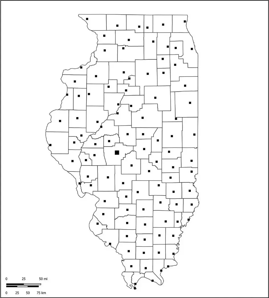
A blank Illinois county map is a valuable resource for anyone teaching or learning about the state’s geography. It typically displays only the outline of Illinois, without pre-labeled cities, landmarks, or features, allowing users to add their own information based on specific needs. In classrooms, it is widely used for geography lessons, quizzes, and projects, encouraging hands-on learning and strengthening spatial awareness. Students can label major cities such as Chicago, Springfield, and Peoria, as well as important rivers like the Mississippi and Illinois Rivers.
In addition, a blank Illinois map can be used for educational assignments and mapping activities to highlight county boundaries, highways, and regional divisions. It is also useful for planners, students, and researchers who want to map travel routes, emphasize areas of interest, or track data across different parts of the state. This flexibility makes it a practical tool for both learning and real-world applications.
Like other blank maps, it can be used to visualize a wide range of information, including historical trends, political data, and demographic patterns. Suitable for classroom displays or as a base for digital projects, a blank Illinois map supports a variety of educational and professional purposes. It serves as a flexible canvas that brings the geography of Illinois to life through active, hands-on engagement.
Illinois, a Midwestern state in the United States, is known for its diverse economy, rich history, and vibrant cities. It shares borders with Indiana, Kentucky, Missouri, Iowa, and Wisconsin, and is defined in part by the Mississippi River along its western edge. Chicago, the state’s largest city, serves as a global hub for finance, culture, and transportation.
The state capital, Springfield, is best known as the hometown of Abraham Lincoln. Illinois also has a strong agricultural sector, producing large amounts of corn, soybeans, and dairy products. In addition to its economic strength, the state features a diverse natural landscape with forests, rivers, and prairies, making it both a productive and scenic place to explore.
For educators, an Illinois map worksheet is a valuable teaching tool that helps students learn about the state’s geography in an interactive and engaging way. These worksheets typically feature blank or partially labeled maps, encouraging students to fill in key locations such as Chicago, Springfield, and Peoria, along with rivers, counties, and state borders.
An Illinois map worksheet is a useful activity that helps students build map-reading skills, improve spatial awareness, and understand the state’s physical and political features. Suitable for classroom lessons, homework, or assessments, it offers learners of all grade levels an engaging and interactive way to explore Illinois.
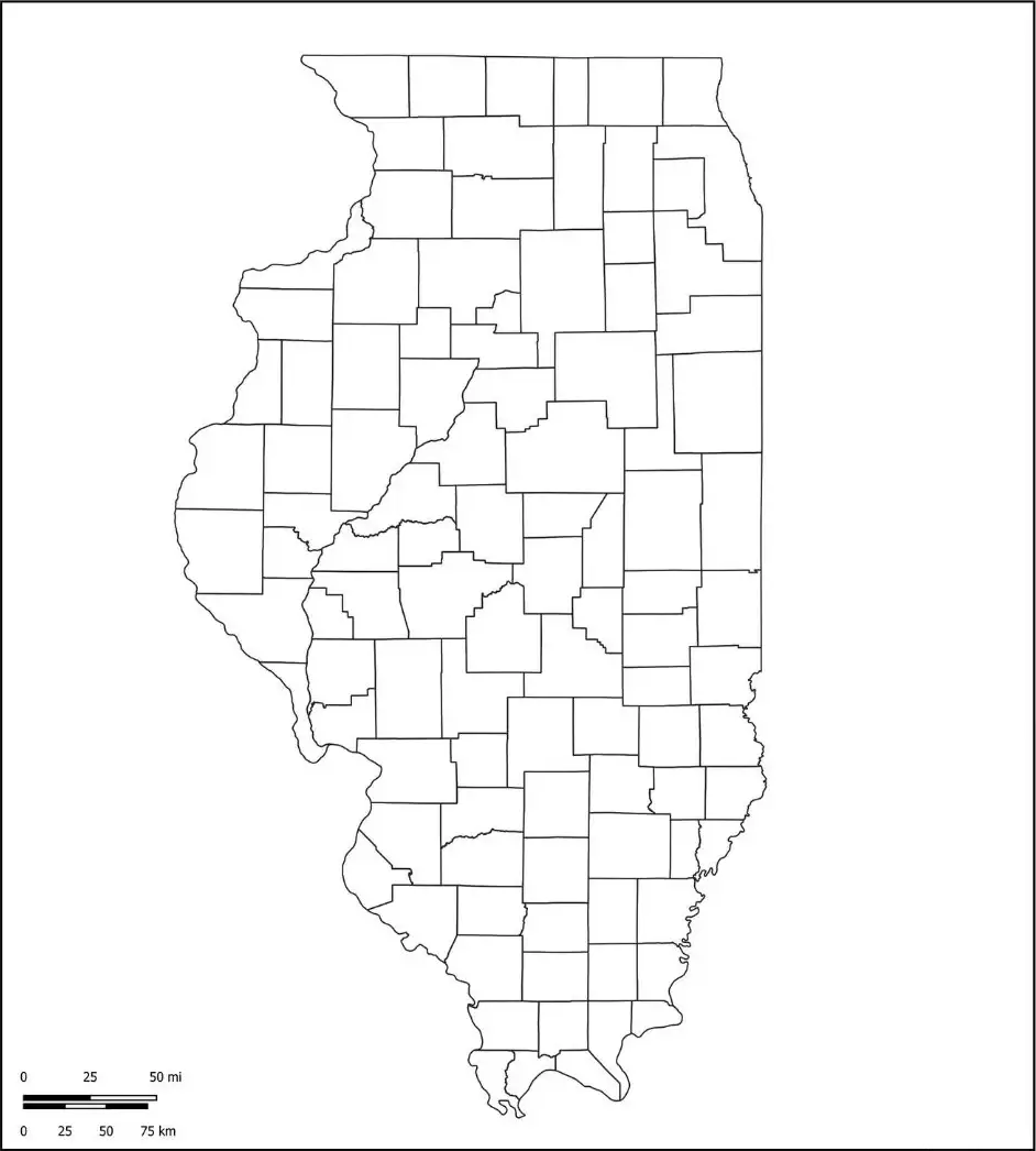
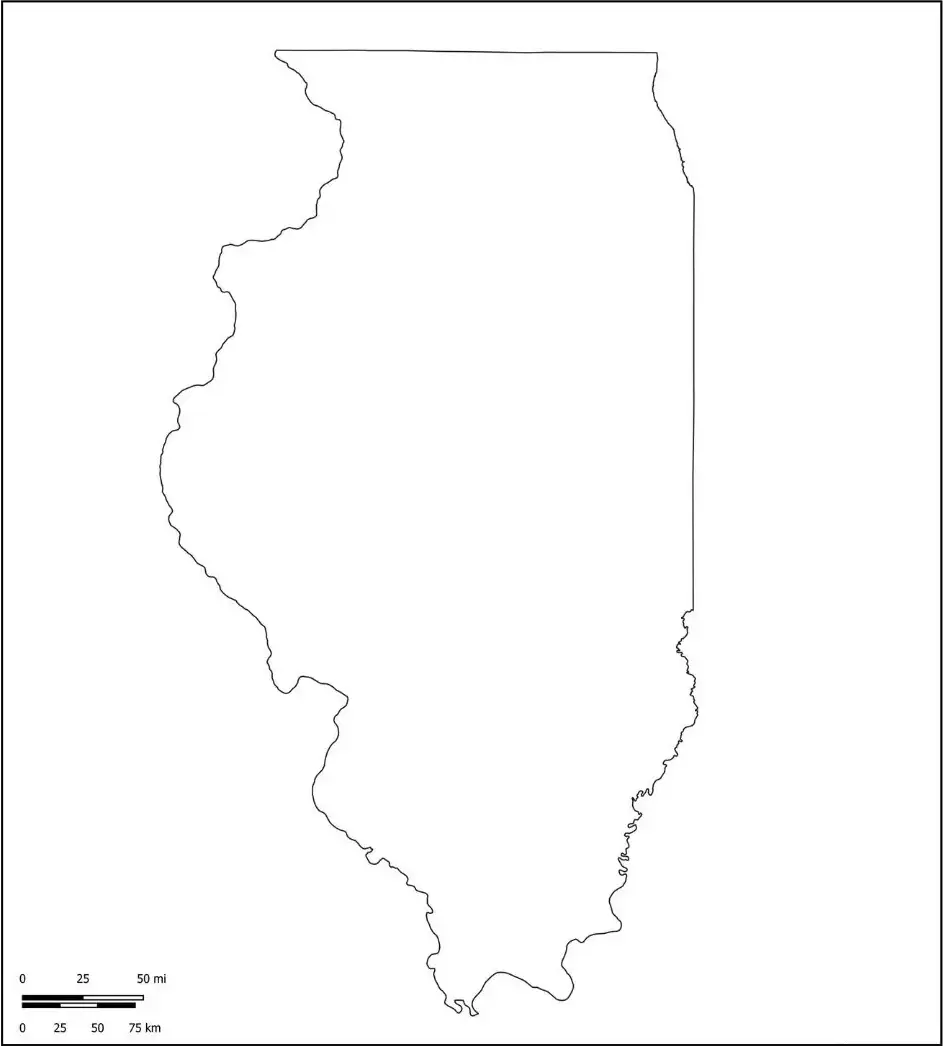
An Illinois map outline is a simple and versatile tool used for both education and planning. With minimal features, it allows users to add their own labels for cities, counties, rivers, and landmarks based on their needs. Commonly used in classrooms, it helps students practice identifying and labeling important locations such as Chicago, Springfield, and the Mississippi River.
It also supports learning in subjects like geography, history, and civics by encouraging hands-on engagement. The outline format makes it ideal for projects, quizzes, travel planning, and data visualization, offering flexibility for customization while helping users better understand the geographic features of Illinois.

