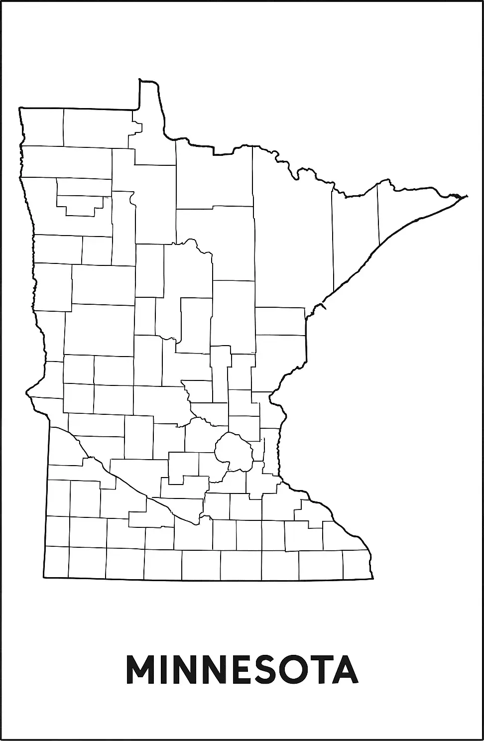
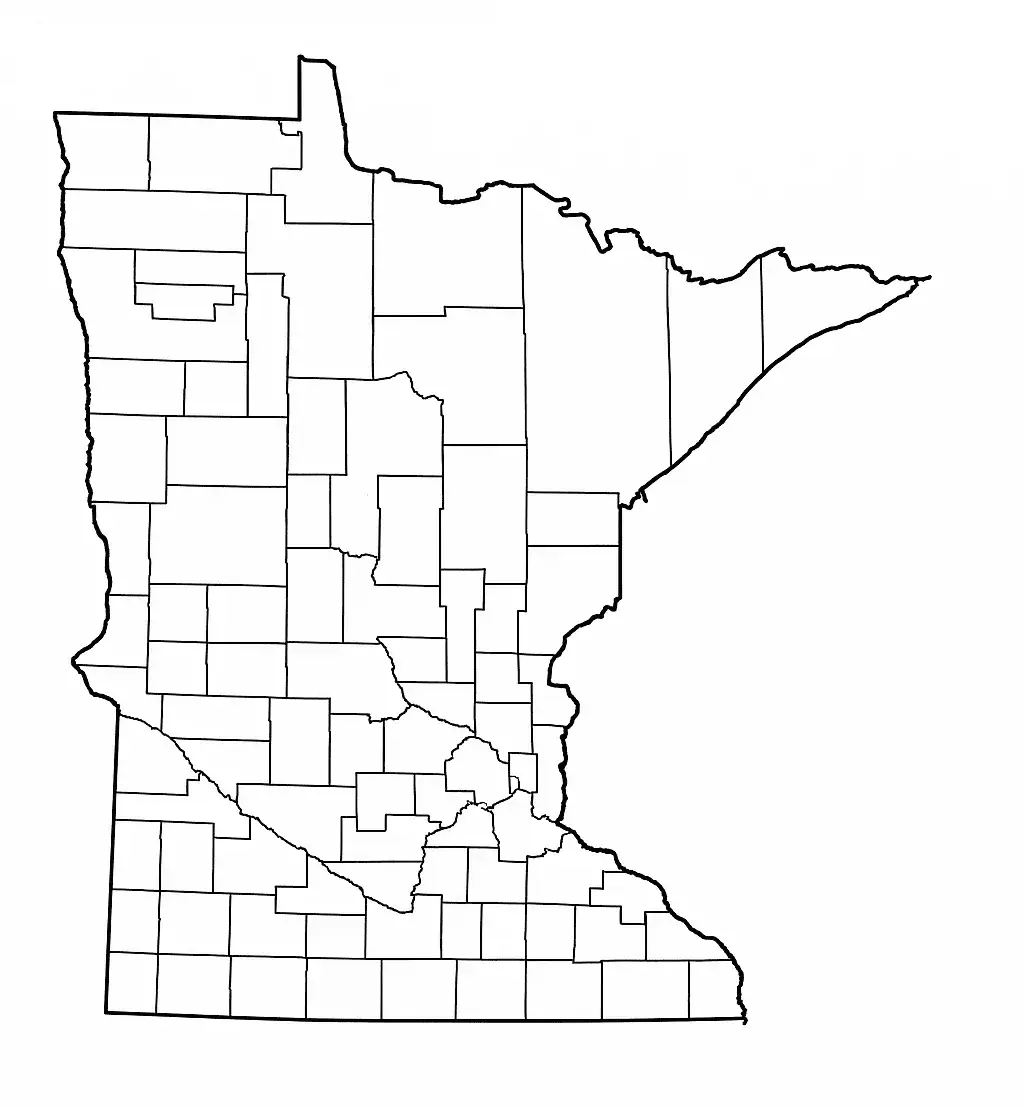
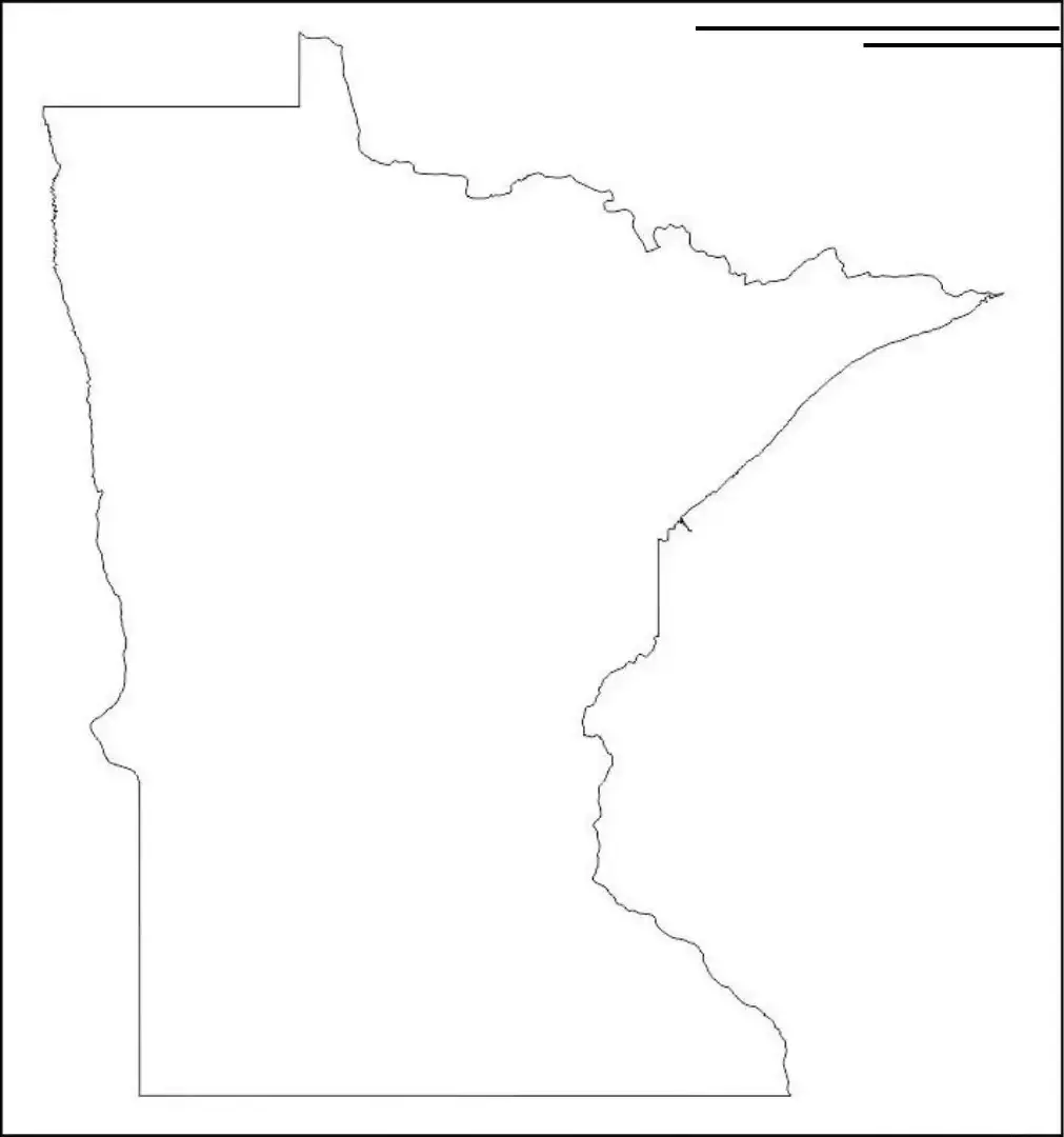
A blank Minnesota county map provides a clean and simple way for students to study the state’s geography and for travelers to plan their routes. It highlights the outline of Minnesota, from its border with Canada down to its neighboring states—Wisconsin, Iowa, North Dakota, and South Dakota—while allowing users to explore and add details such as its many lakes and rivers.
A blank Minnesota map is ideal for classroom activities where students label counties, cities, rivers, and other physical features. It is also useful for project planning, route mapping, and regional analysis, making it a flexible tool for both learning and practical applications.
Educators, researchers, and businesses often use printable blank maps to clearly visualize ideas without distractions. These maps come in different formats, ranging from simple outlines to more detailed versions showing county or city boundaries. A blank Minnesota map, available in both digital and printable forms, is a useful resource that supports interactive learning and planning. It is widely used for education, business strategy, and travel exploration, making it a practical tool for anyone interested in Minnesota, the “Land of 10,000 Lakes.”
Minnesota, often called the “Land of 10,000 Lakes,” is a U.S. state located in the Upper Midwest. It shares borders with Canada and the states of Wisconsin, Iowa, North Dakota, and South Dakota. The state is well known for its natural beauty, including forests, lakes, and the origin of the Mississippi River. Its largest cities, Minneapolis and Saint Paul—known together as the Twin Cities—serve as major cultural and economic hubs. Minnesota also has a strong education system, a diverse economy, and a vibrant arts scene, making it a welcoming place to live, work, and visit.
A Minnesota map worksheet is an educational resource designed to help students learn about the state’s geography, landmarks, and physical features. These worksheets usually include blank or partially labeled maps where students identify cities, rivers, lakes, highways, and neighboring states.
Such maps are ideal for classroom activities, homework assignments, and geography quizzes, encouraging students to engage with the material in a hands-on way. Commonly used in elementary and middle school settings, Minnesota map worksheets help improve spatial awareness and deepen understanding of the state’s geography, making learning both interactive and informative.
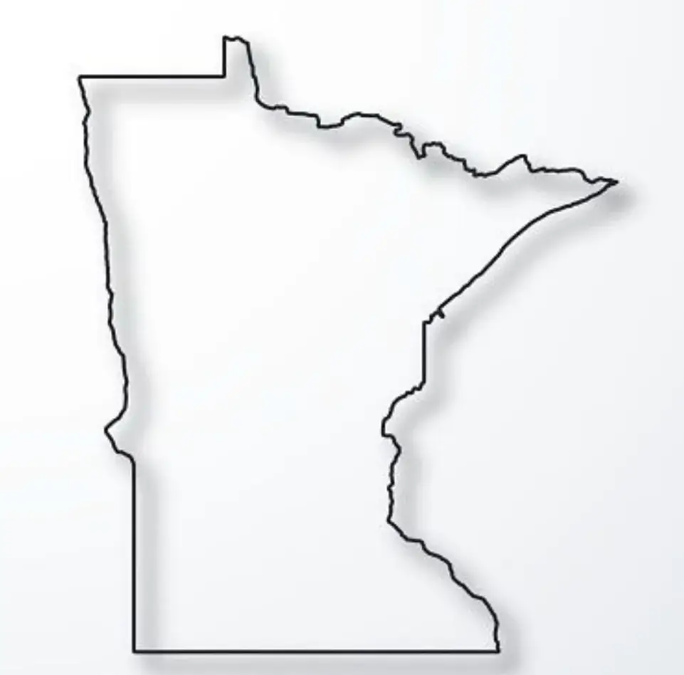
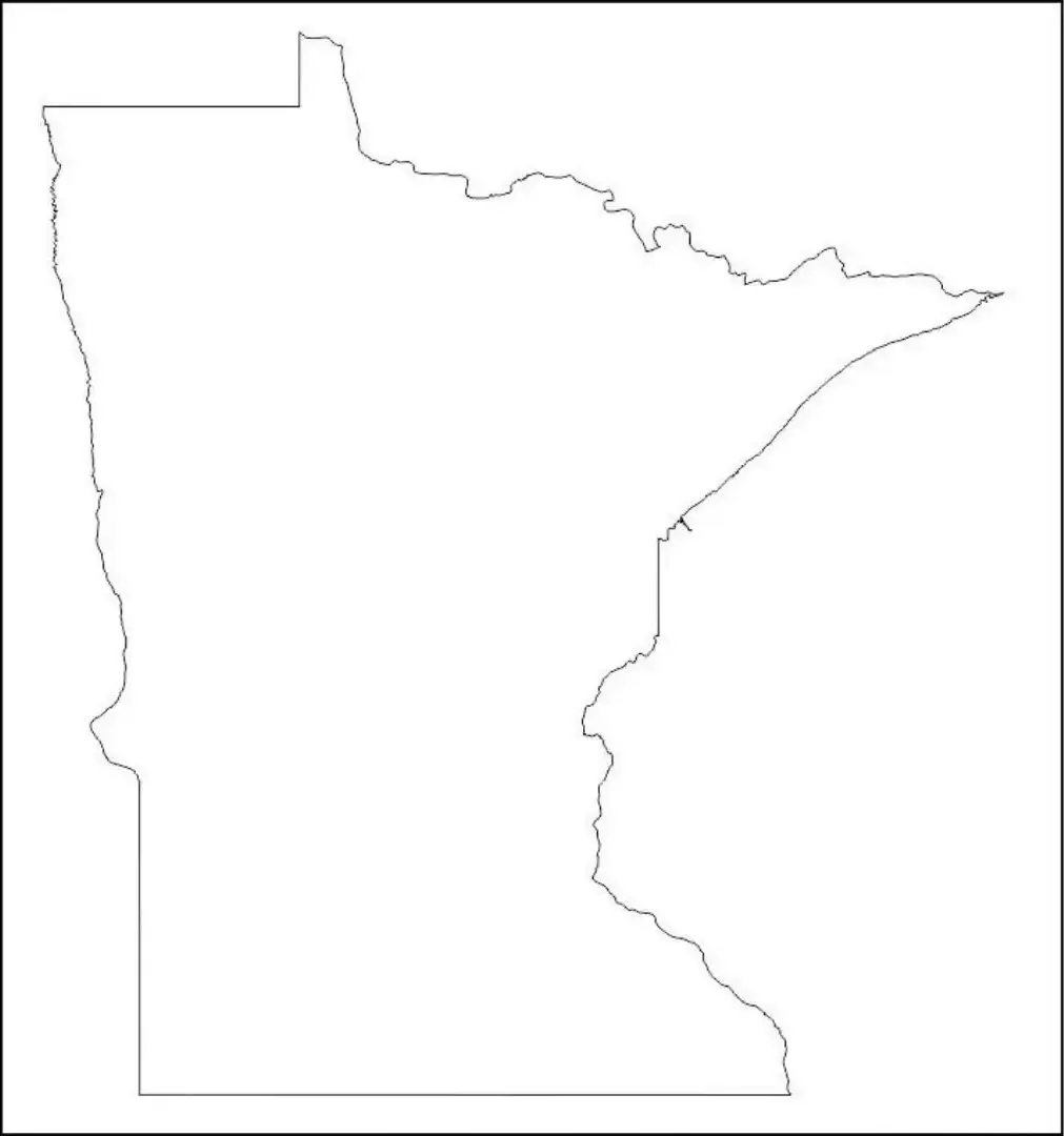
A Minnesota outline map is useful for educational, planning, and creative purposes, as it shows only the state’s borders without additional details. With no labels or markings, it allows students to practice identifying cities, rivers, counties, and landmarks on their own. Teachers often use Minnesota outline maps in classrooms for geography lessons, quizzes, and interactive activities.
It is also useful for project planning, travel mapping, and creating customized data visualizations. The outline highlights Minnesota’s position relative to neighboring regions, including Canada and the states of North Dakota, South Dakota, Iowa, and Wisconsin. Whether printed or digital, a Minnesota outline map serves as a blank canvas for learning, exploration, and creative use.

