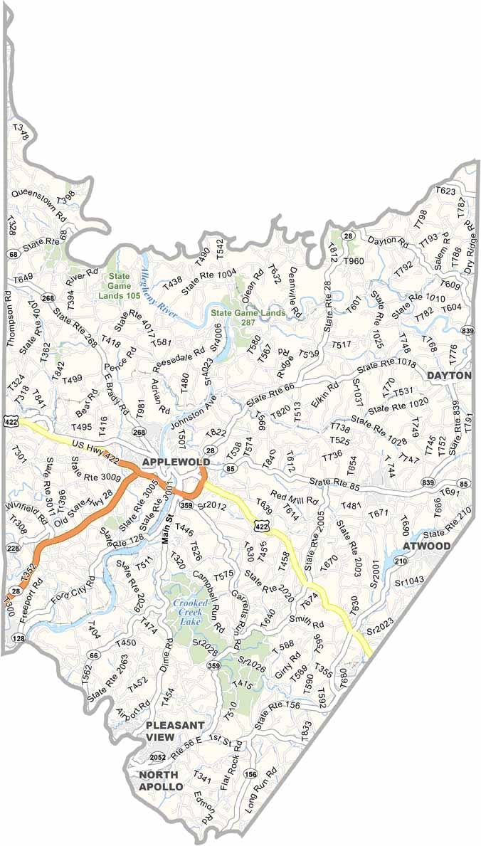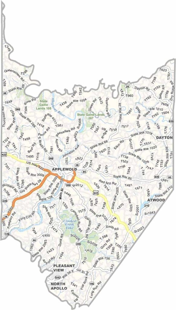
Armstrong County Map, Pennsylvania

Armstrong County, Pennsylvania

Armstrong County western Pennsylvania vich hai, Pittsburgh ton uttar-purab val. Eh naam John Armstrong de naal juriya hoya hai, jo Continental Army vich general si.

Allegheny River county de bichon langhdi hai, te ithe di zameen te lokan di sanskriti dono nu aakar dindi hai. Kittanning county seat hai, jithe kai puraniyan historic imaratan dekhan nu milde ne.

Outdoor lovers will find plenty to enjoy here, with numerous hiking trails and fishing spots. The county has a deep industrial past, especially in glassmaking and mining, but today its economy leans more toward small businesses and farming.
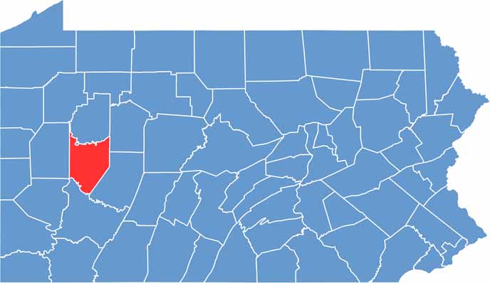

Location map of Armstrong County, Pennsylvania
CategoryDetails
County NameArmstrong County
County SeatKittanning
PopulationApproximately 65,000
Cities, Towns, and CommunitiesKittanning, Ford City, Leechburg, Freeport, Elderton, Worthington
Interstates and HighwaysU.S. Highway 422, State Highway 28, State Highway 66, State Highway 85
FIPS Code42-005
Total Area (Land and Water)664 square miles (653 sq mi land, 11 sq mi water)
Adjacent Counties (and Direction)Clarion County (North), Jefferson County (Northeast), Indiana County (East), Westmoreland County (South), Allegheny County (Southwest), Butler County (West), Venango County (Northwest)
Time ZoneEastern Time Zone (EST)
StatePennsylvania
Coordinates40°48’N, 79°28’W
EtymologyNamed after General John Armstrong, a Revolutionary War hero
Major LandmarksCrooked Creek Lake, Armstrong Trail, Allegheny River, Kittanning Citizens Bridge
Scroll to Top