

Baldwin County is Alabama’s largest county by area and is located along the Gulf Coast, just east of Mobile. The county is best known for its beautiful beaches, with Gulf Shores and Orange Beach attracting visitors from across the region.
Established in 1809, Baldwin County was named after Georgia Senator Abraham Baldwin. Fairhope, located along Mobile Bay, has a unique history as a planned utopian community. Today, the county is one of Alabama’s fastest-growing areas.
Much of inland Baldwin County is covered by farms and forests, providing opportunities for outdoor recreation. The USS Alabama battleship is located nearby in Mobile, while the county’s coastal wetlands and backwaters offer opportunities for wildlife viewing and exploration.
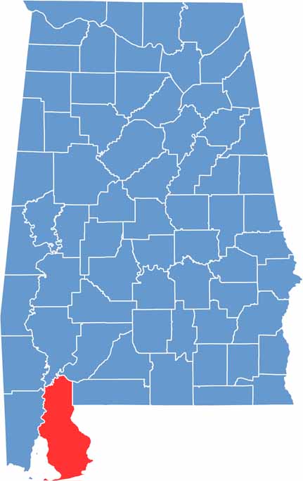
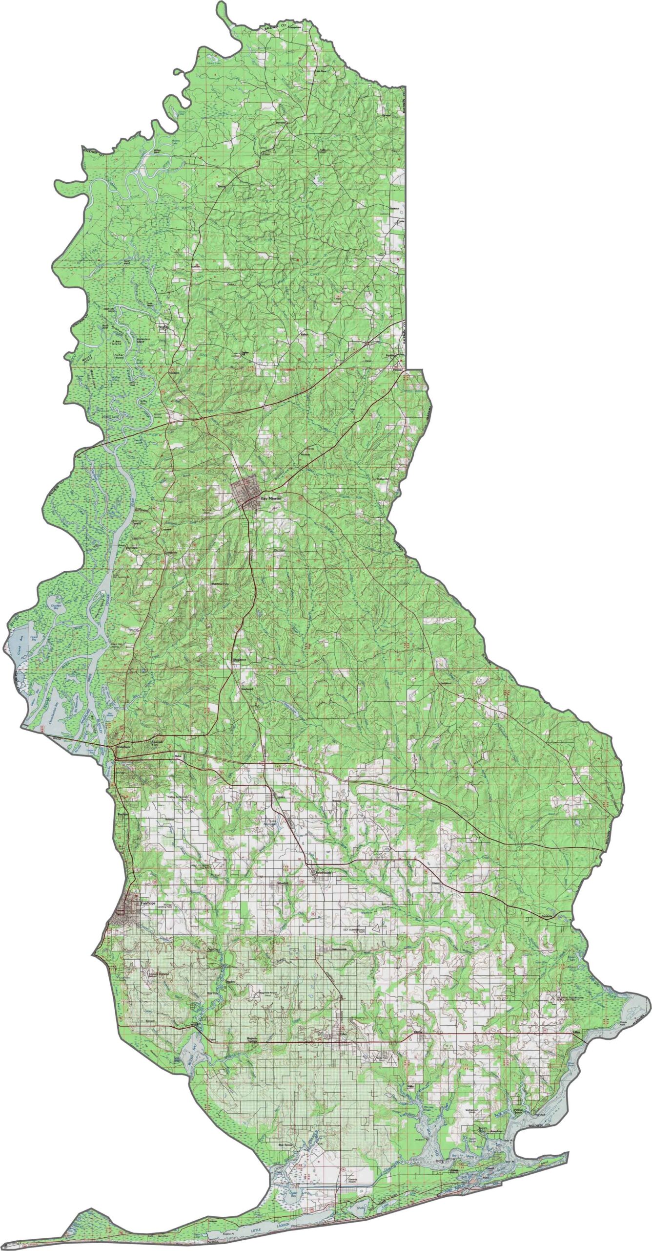
This topographic map highlights Baldwin County’s coastal terrain, showing elevation changes from the beaches and wetlands to the inland areas. The contour lines provide a detailed view of the county’s varied landscape.
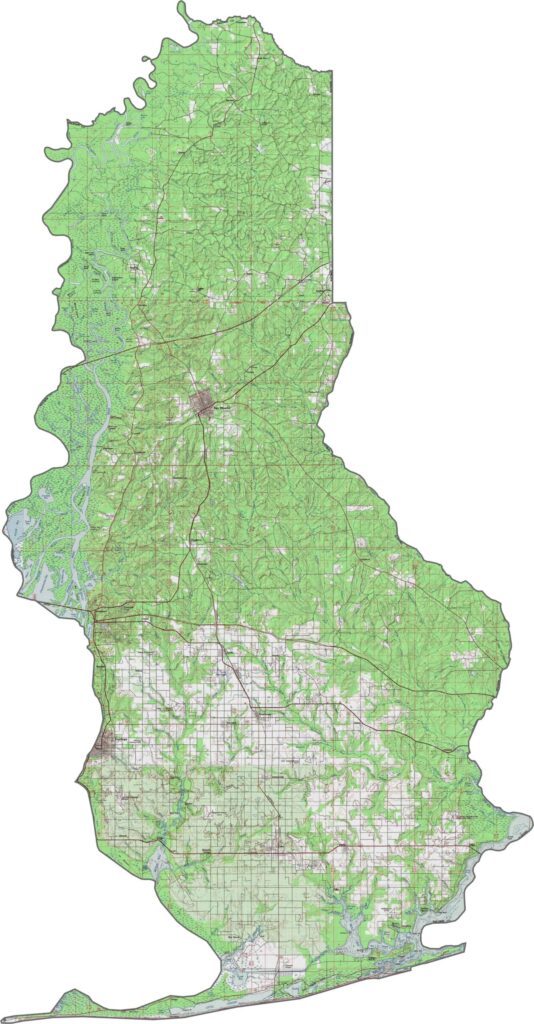
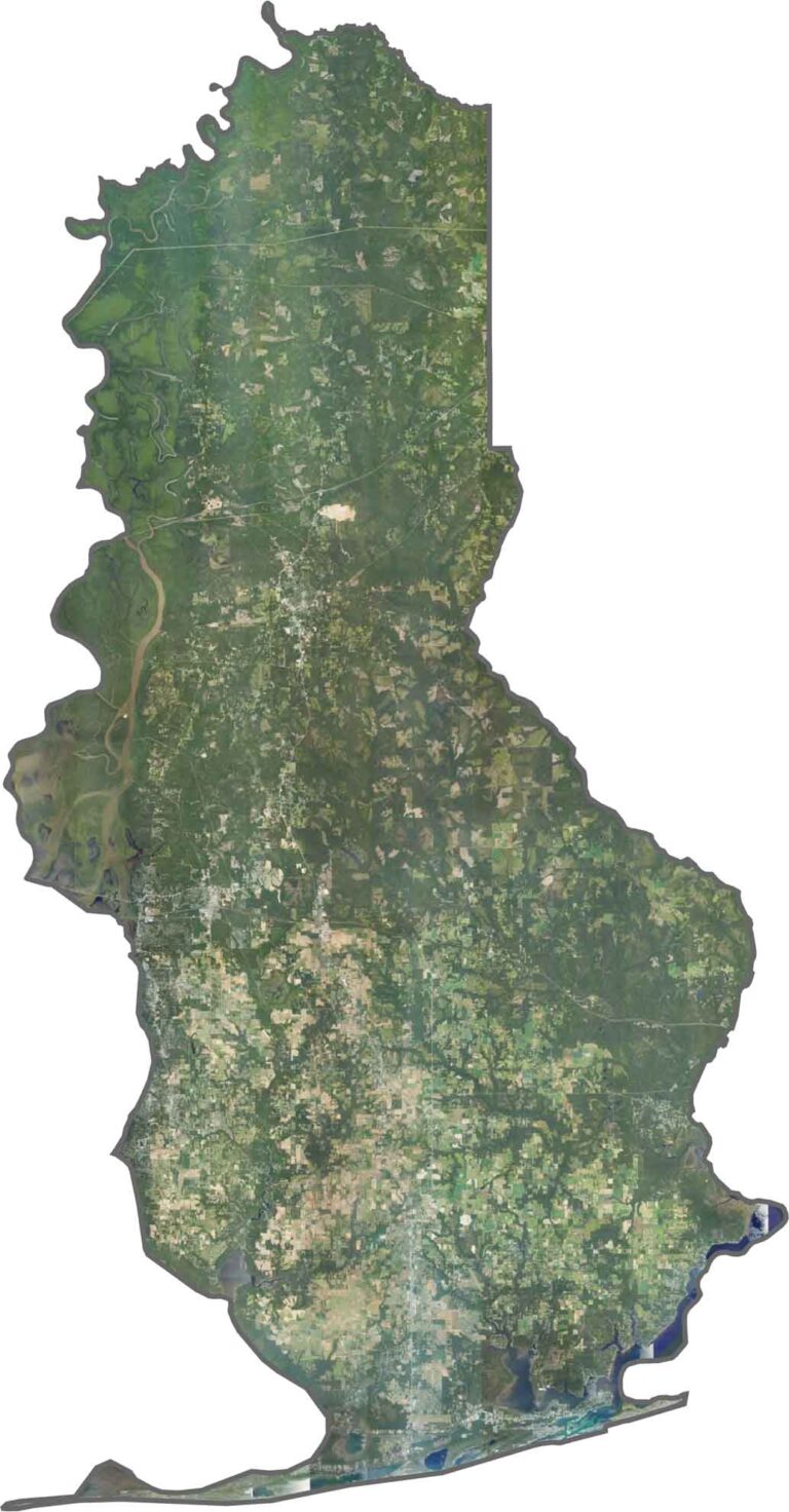
This satellite map shows Baldwin County’s coastline, bays, inland towns, and rural landscapes. The imagery makes it easy to spot the contrast between busy beach communities and quieter areas farther inland.
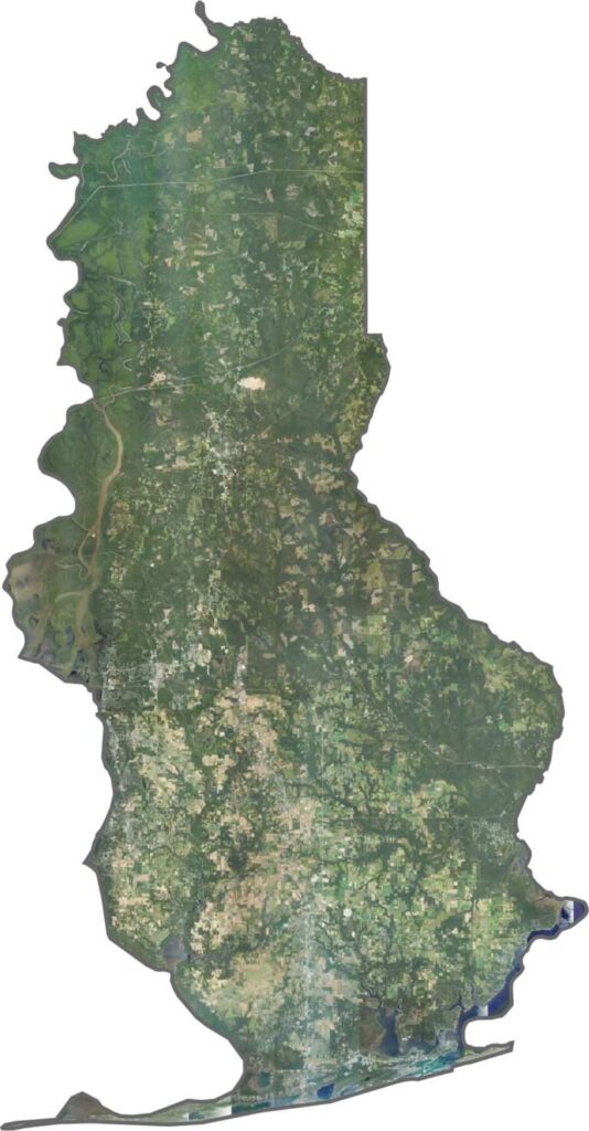
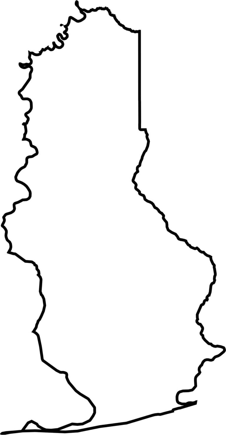
This blank map outlines Baldwin County’s shape and boundaries along Alabama’s Gulf Coast. Its clean design provides a simple base for marking cities, waterways, or other important locations.
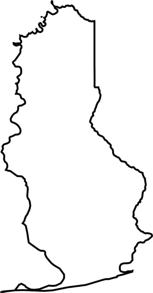






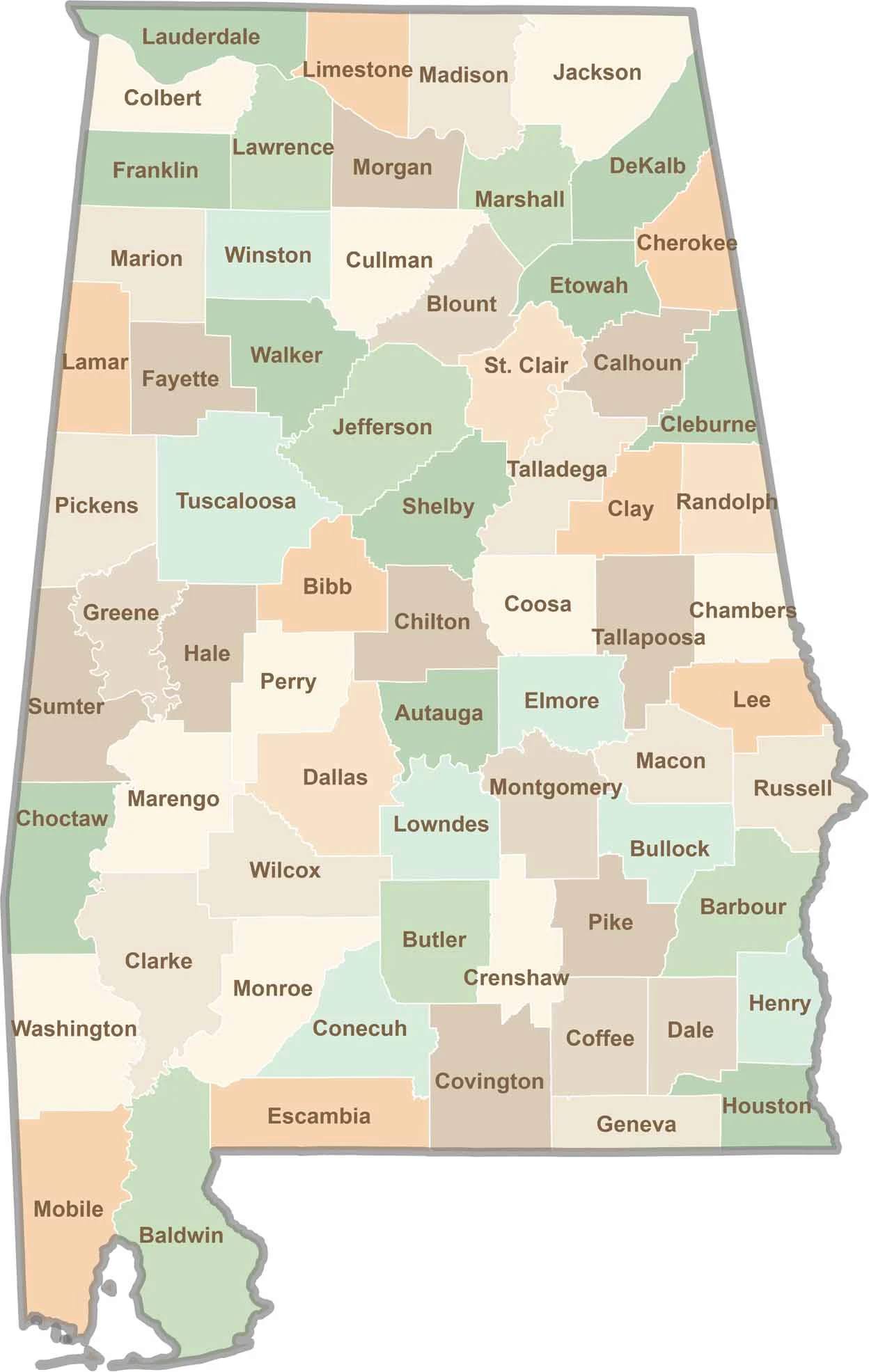
Discover Alabama county by county with our detailed Alabama county map. Easily explore county boundaries across the state—ideal for travel planning, local research, or satisfying your curiosity.