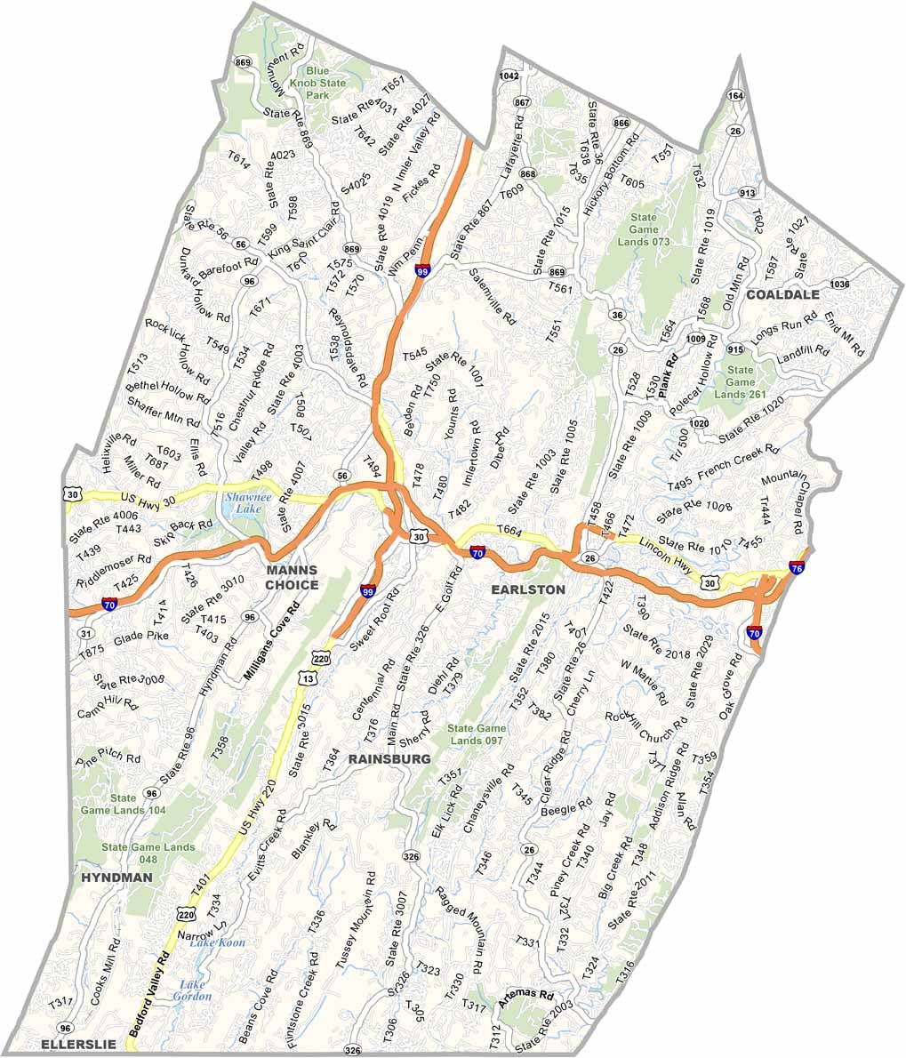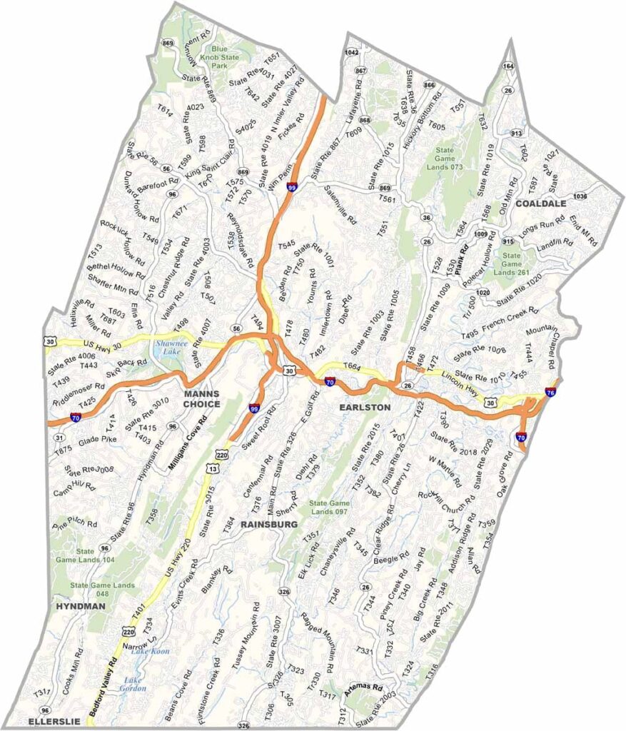
Bedford County Map, Pennsylvania

Bedford County, Pennsylvania

Bedford County stretches across south-central Pennsylvania along the Maryland border, within the Allegheny Mountain region, where forests and ridges fill much of the landscape.

Covered bridges, historic forts, and a recreated colonial village make the county a favorite with visitors. The Lincoln Highway, one of America's earliest coast-to-coast roads, passes straight through it.

Bedford, the county seat, is best known for its mineral springs, and people have been coming to "take the waters" for centuries. Farming remains an important part of the local economy, and dairy cows and cornfields line the roads throughout the county.
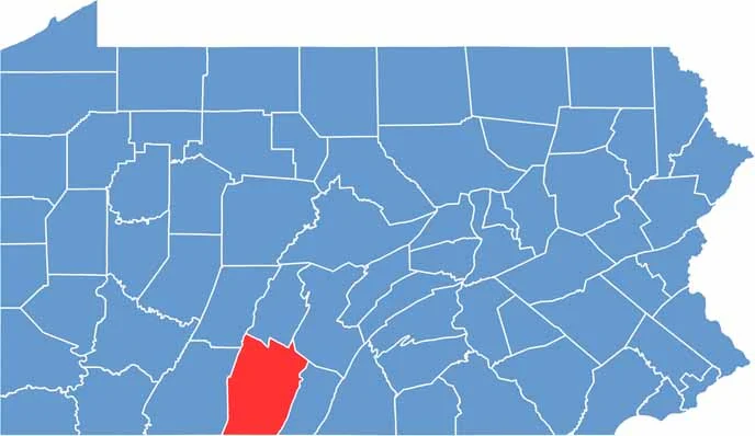

Location map of Bedford County, Pennsylvania
CategoryDetails
County NameBedford County
County SeatBedford
EtymologyNamed after Fort Bedford, which was named after the Duke of Bedford
Cities, Towns, and CommunitiesBedford, Everett, Hyndman, Schellsburg, Saxton, Manns Choice
Interstates and HighwaysInterstate 76 (Pennsylvania Turnpike), U.S. Highway 30, U.S. Highway 220, State Highway 56
FIPS Code42-009
Total Area (Land and Water)1,017 square miles (1,013 sq mi land, 4 sq mi water)
Adjacent Counties (and Direction)Blair County (North), Huntingdon County (Northeast), Fulton County (East), Allegany County, Maryland (South), Somerset County (West), Cambria County (Northwest)
Time ZoneEastern Time Zone (EST)
StatePennsylvania
Coordinates39°59’N, 78°30’W
Major LandmarksOld Bedford Village, Shawnee State Park, Bedford Springs Resort, National Museum of the American Coverlet
PopulationApproximately 46,000
Scroll to Top