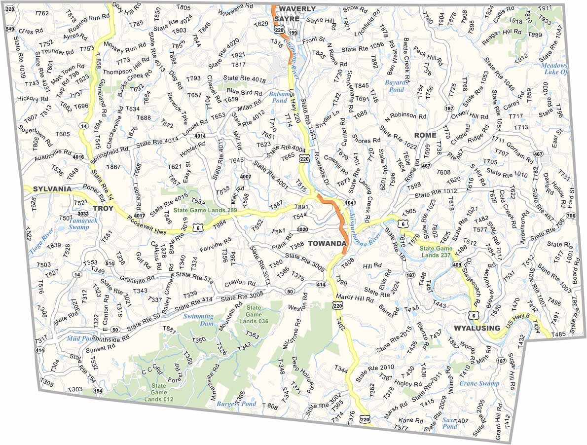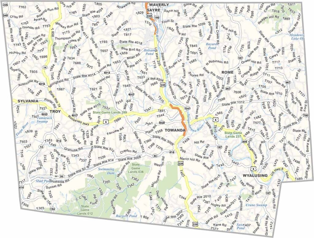
Bradford County Map, Pennsylvania

Bradford County, Pennsylvania

Bradford County sits in the northeastern corner of Pennsylvania, right along the New York border, within the Endless Mountains region. Towanda, the county seat, lies on the banks of the Susquehanna River.

Outdoor recreation is a way of life here. Locals fish for trout in mountain streams and hike miles of remote backcountry trails, all set among winding rivers, thick forests, and small farming communities.

The county played a major part in the early natural gas boom, though it has since settled into a quieter pace. The French Azilum historic site tells the remarkable story of French refugees who made a new home here in the 1790s.
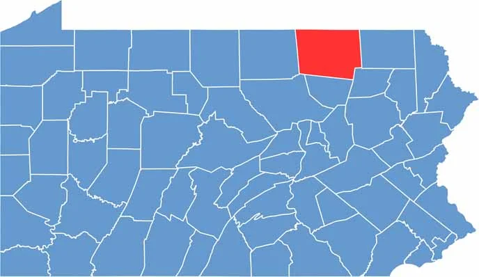

Location map of Bradford County, Pennsylvania
CategoryDetails
County NameBradford County
County SeatTowanda
EtymologyNamed after William Bradford, a Revolutionary War leader and former U.S. Attorney General
Cities, Towns, and CommunitiesTowanda, Sayre, Athens, Troy, Canton, Wyalusing
Interstates and HighwaysU.S. Highway 6, U.S. Highway 220, State Highway 187
FIPS Code42-015
Total Area (Land and Water)1,161 square miles (1,147 sq mi land, 14 sq mi water)
Adjacent Counties (and Direction)Chemung County, New York (Northwest), Tioga County, New York (Northeast), Susquehanna County (East), Wyoming County (Southeast), Sullivan County (South), Lycoming County (Southwest), Tioga County (West)
Time ZoneEastern Time Zone (EST)
StatePennsylvania
Coordinates41°47’N, 76°31’W
Major LandmarksFrench Azilum Historic Site, Bradford County Historical Society, Mt. Pisgah State Park
PopulationApproximately 59,000
Scroll to Top