
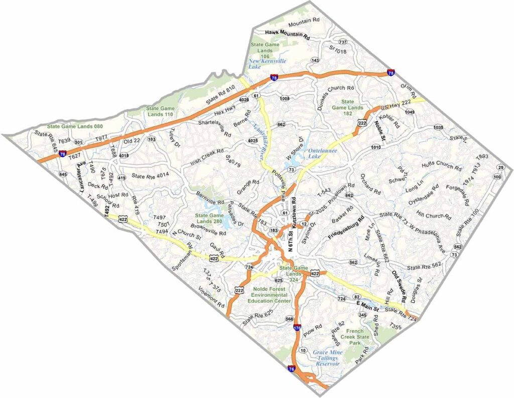
Berks County lies in southeastern Pennsylvania, about an hour northwest of Philadelphia, and offers a mix of towns, rolling farmland, and forested hills. Reading, the largest city, is known for its pretzel-making and outlet shopping.
The county is packed with history as well. William Penn founded it back in 1682, and the Pennsylvania Dutch influence is hard to miss, with Amish buggies a common sight on rural roads.
Locals love tubing down the Schuylkill River on hot summer days, and fall brings colorful leaves across the countryside. Craft beer is big these days, with plenty of new microbreweries popping up. Be sure to visit the Pagoda of Reading overlooking the city, an unexpected but memorable sight.
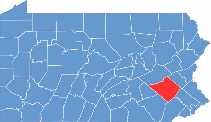
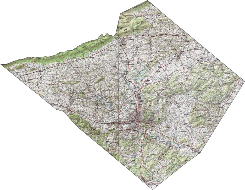
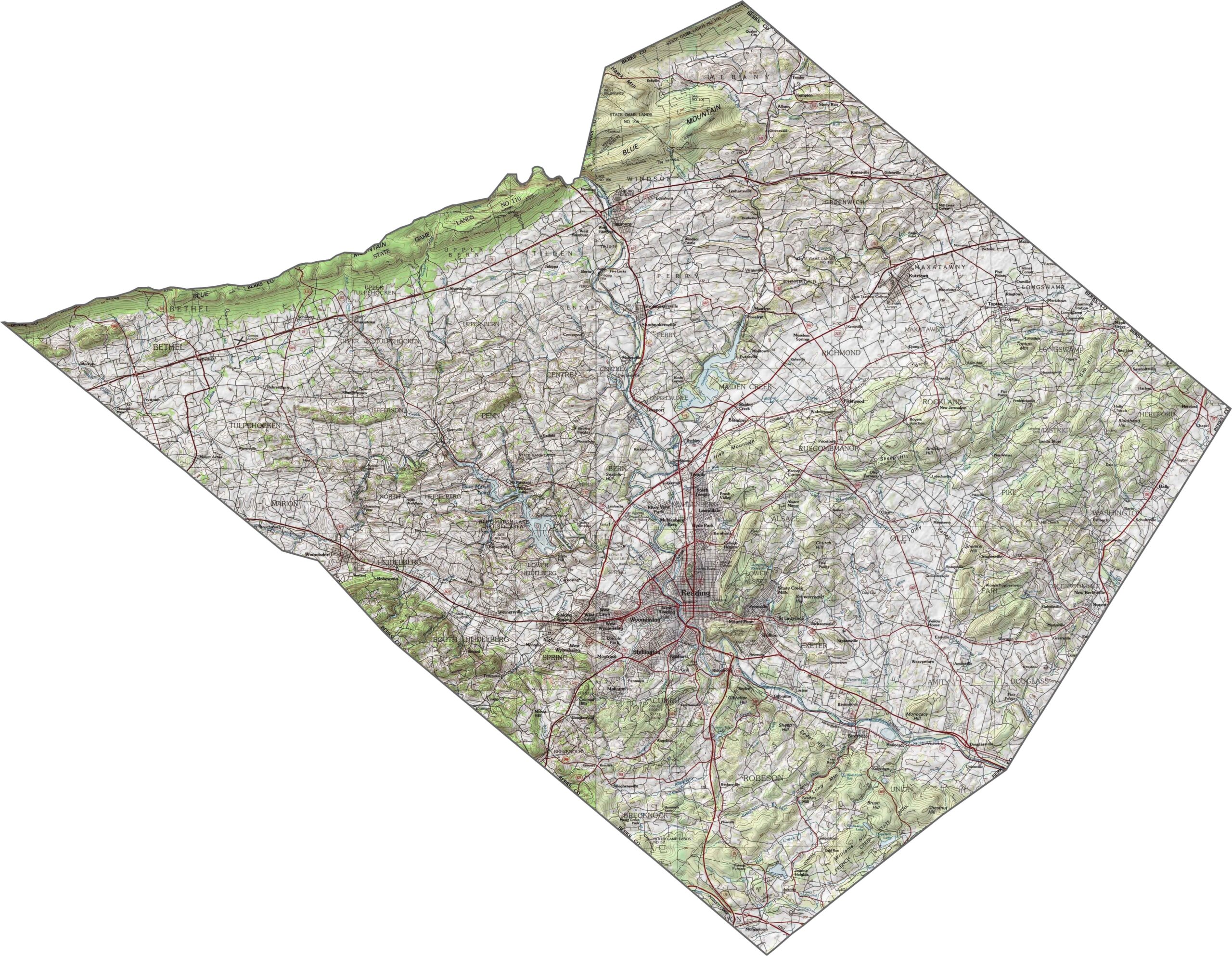
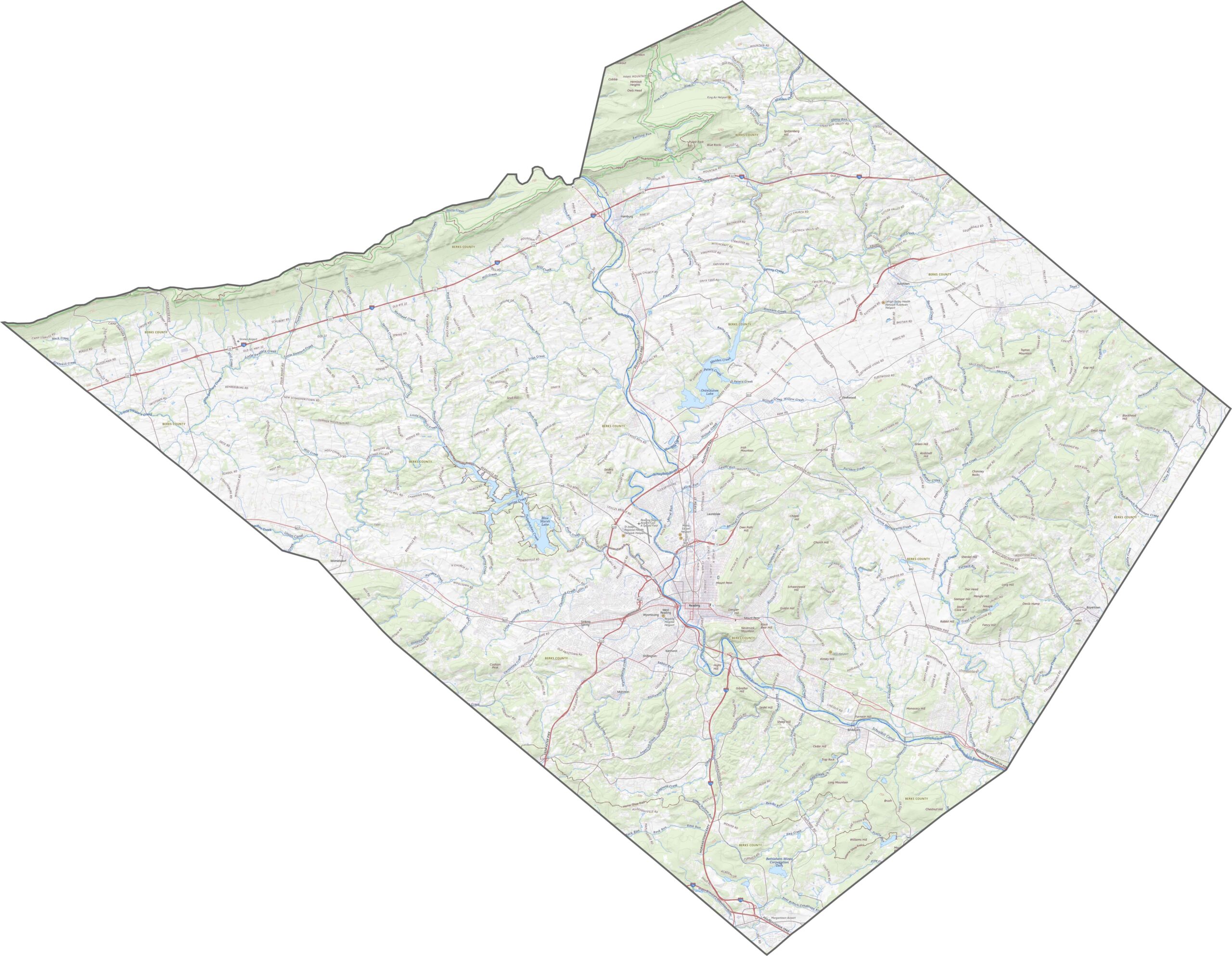
Berks County has a dramatic landscape, especially across its northern and southern stretches. Ridges run through the county like long wrinkles, while the central valley is flatter, with gentle slopes leading up to wooded hills. The county feels like it shifts under your feet the farther you drive.
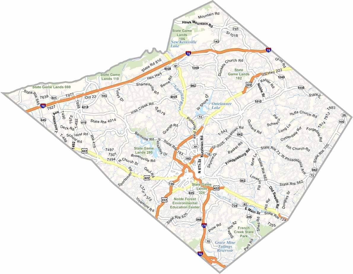
The highway network in Berks County is surprisingly varied. Some roads cut through the hills with precision, while others wind past farms and towns. Traffic can get heavy near Reading, but most areas stay calm.
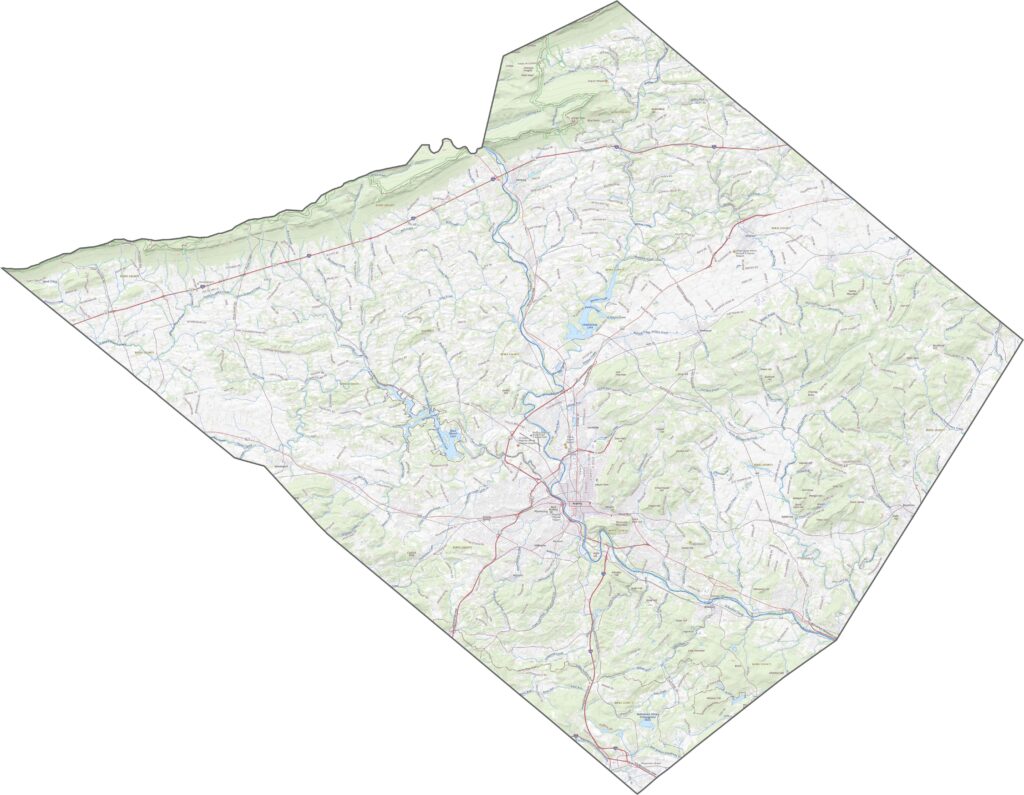
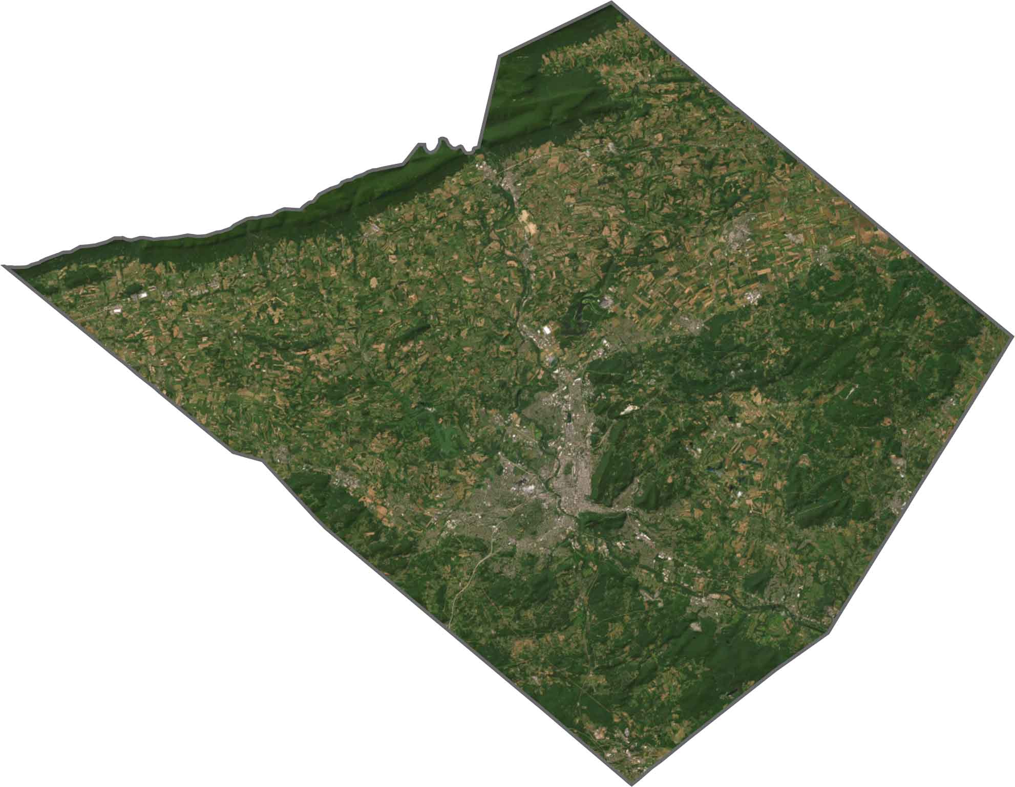
In our satellite map, Berks County shows off its green spaces. Forests cling to the ridges, and large farm fields cover much of the open land. Reading forms a dense hub, but beyond it the county is mostly fields, forests, and scattered homes.
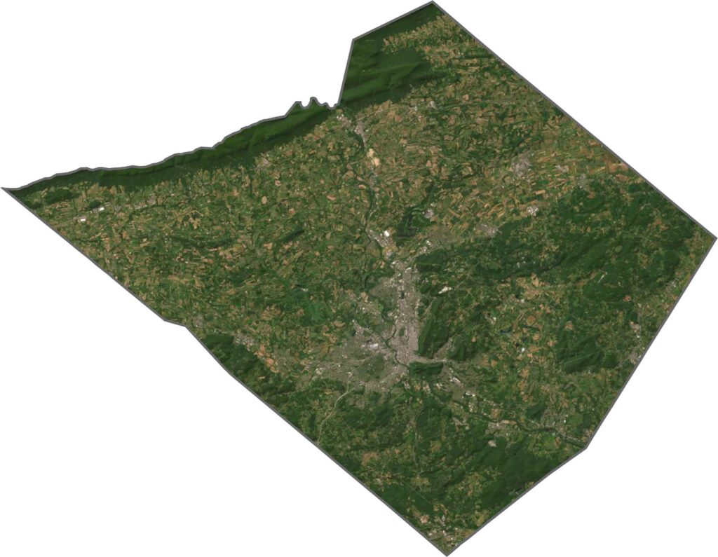
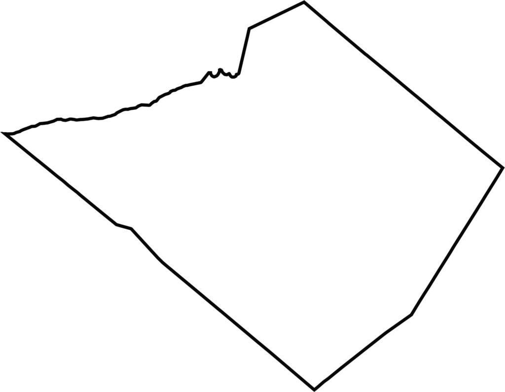
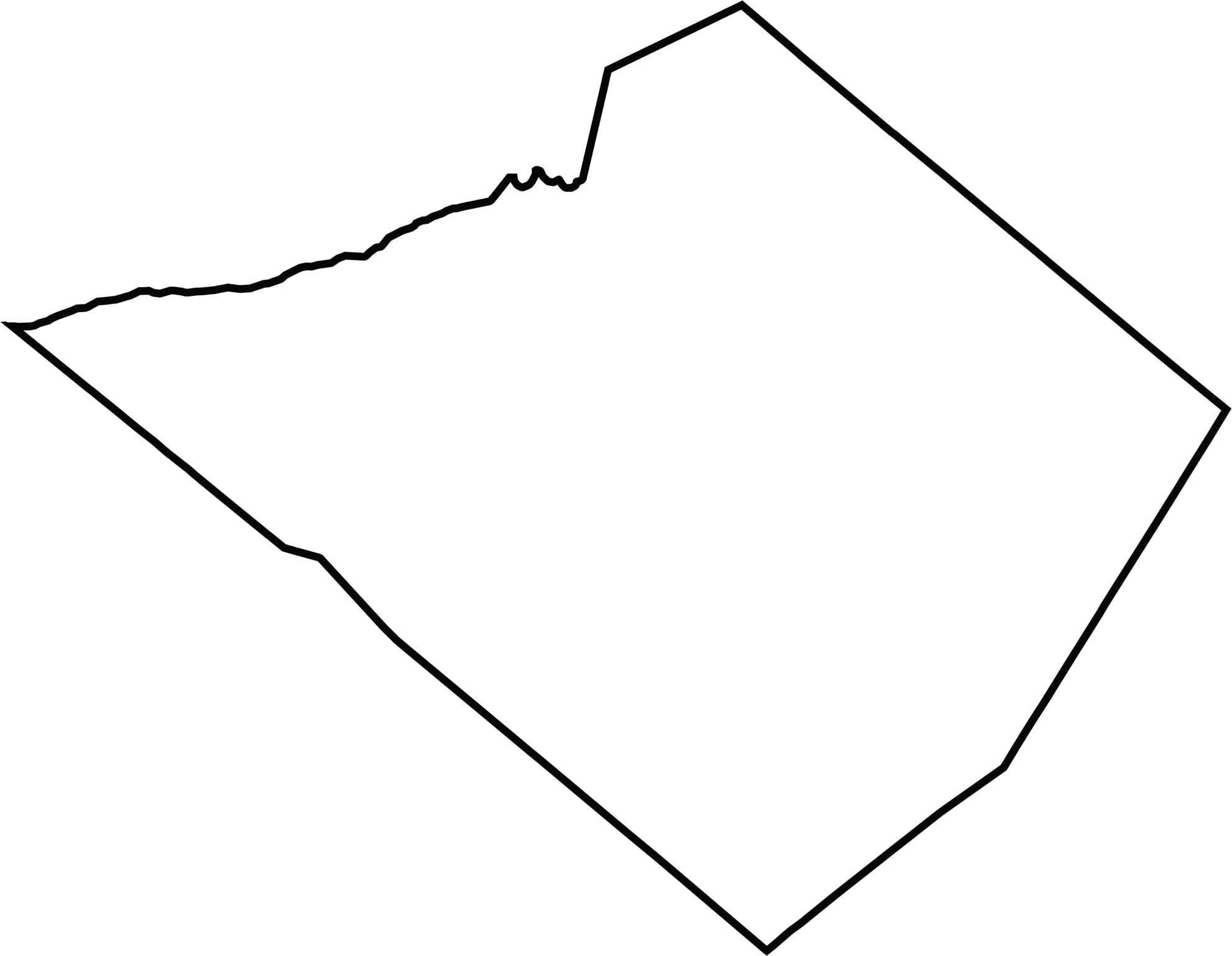
Berks County has a wide, slanted outline that leans slightly northwest. The Schuylkill River runs through it without defining any major border. The county touches no other states, only neighboring Pennsylvania counties, and its edge is uneven, especially in the north where ridges push the border into odd angles.







Pennsylvania's 67 counties take in the glow of the Steel City, quiet Amish country backroads, and escapes in the Pocono Mountains. Distances may differ from place to place, but the stories stay just as rich.