
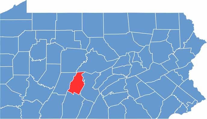
Blair County lies in the heart of Pennsylvania, ringed by the Allegheny Mountains. Altoona, the main city, grew up as a major railroad town and is now home to the Railroaders Memorial Museum and the famous Horseshoe Curve.
Outdoor lovers will find plenty to enjoy, from hiking in Canoe Creek State Park to boating on Raystown Lake. Fall is gorgeous, with mountain slopes bursting into reds and golds.
Tyrone is another charming little town worth exploring, though Hollidaysburg is the county seat. Visitors should also stop by the Baker Mansion in Altoona, which offers a glimpse of 19th-century life. The area has deep roots in iron-making as well.
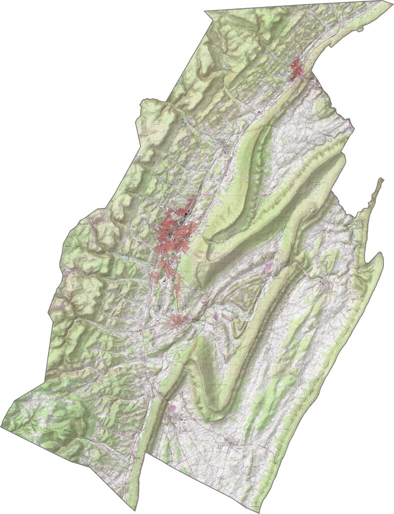
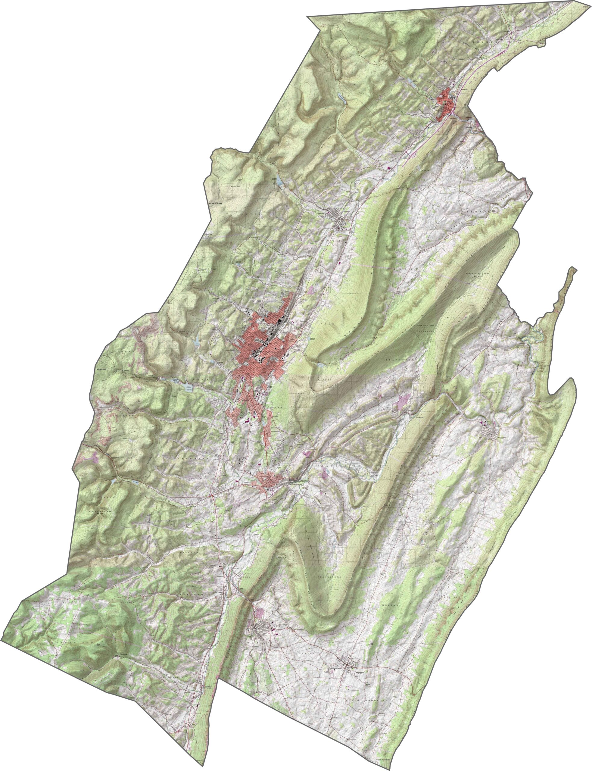
Elevation defines Blair County. Long mountain ridges slice through it from northeast to southwest, with narrow valleys carving paths between them. The western part flattens slightly, but the rest is steep and folded, making this one of Pennsylvania's most rugged-looking counties.
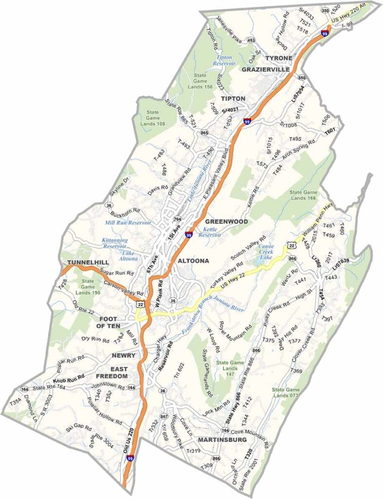
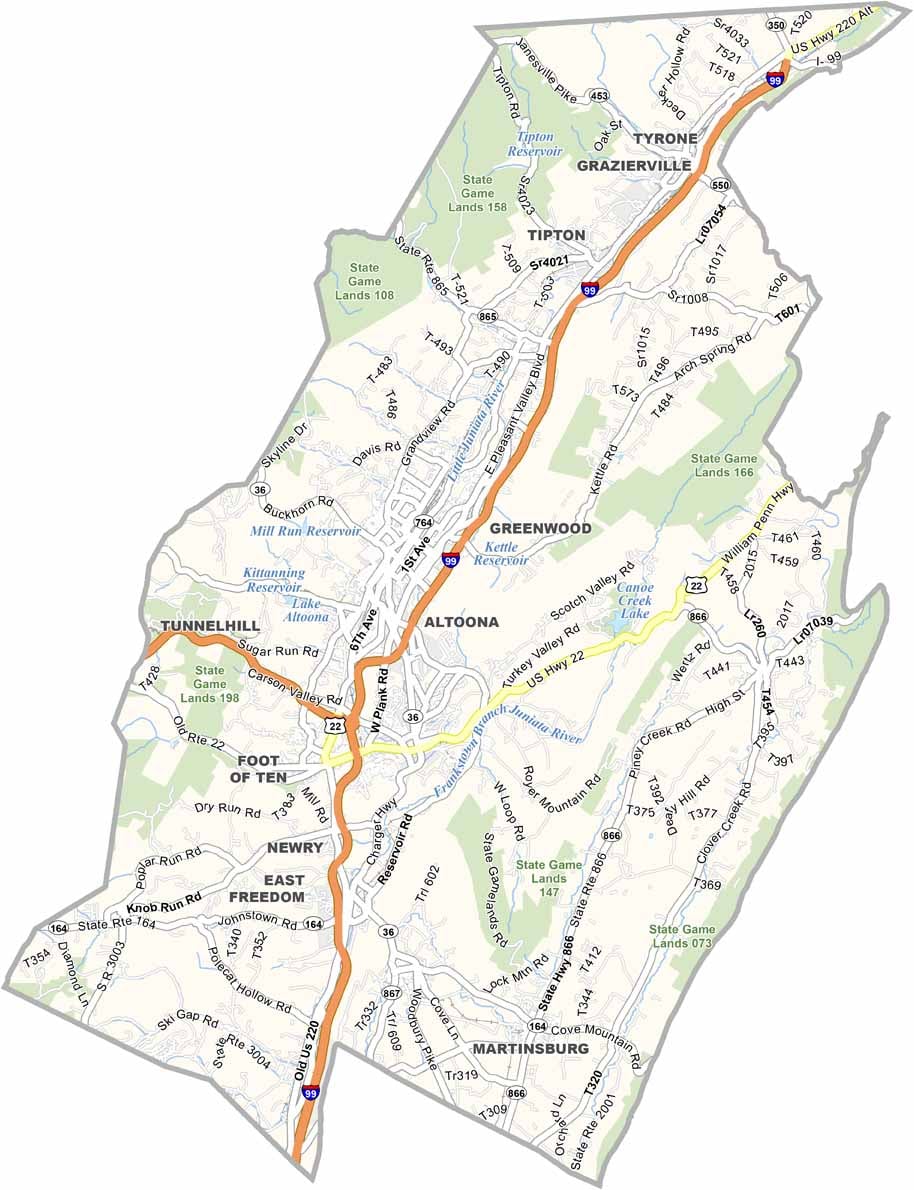
Roads in Blair County often follow the lay of the land. Major highways run through the valleys, while others bend around steep hills, and a network of routes centers near Altoona. Our zoom tool in the road map below makes it easy to get a closer look at those twists and turns.
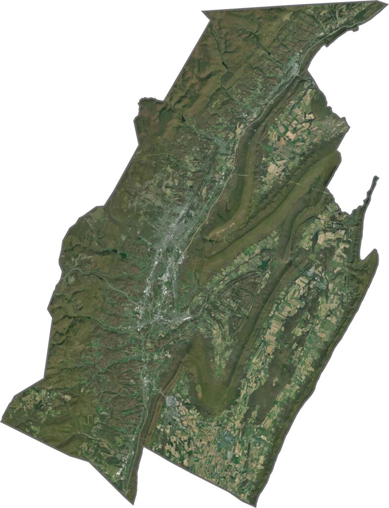
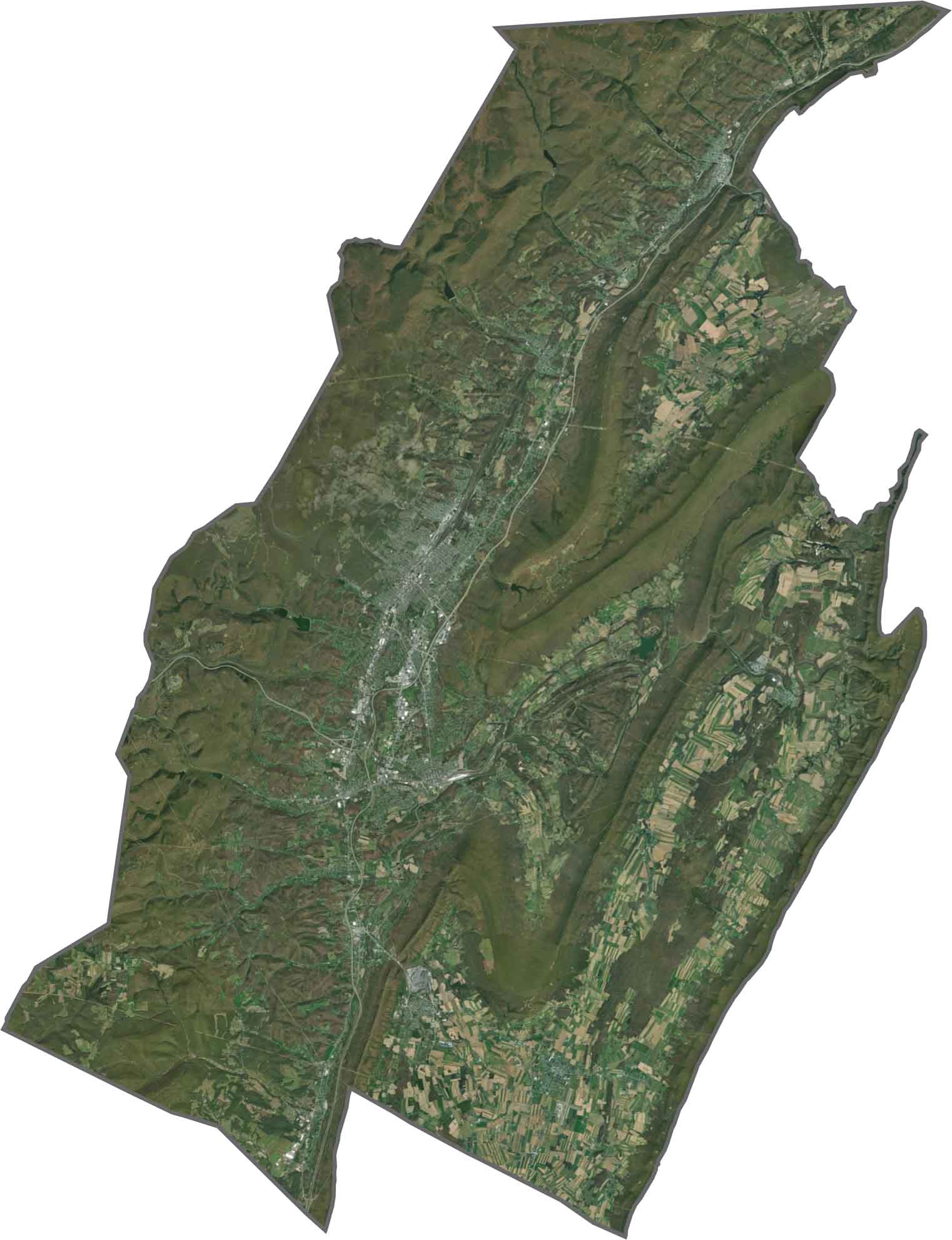
From above, Blair County is mostly green, with forested ridges dominating the view. Altoona breaks the pattern, spreading out in lighter gray tones, while rail lines, rivers, and narrow roads thread through the valleys. The contrast between built and wild is sharp.
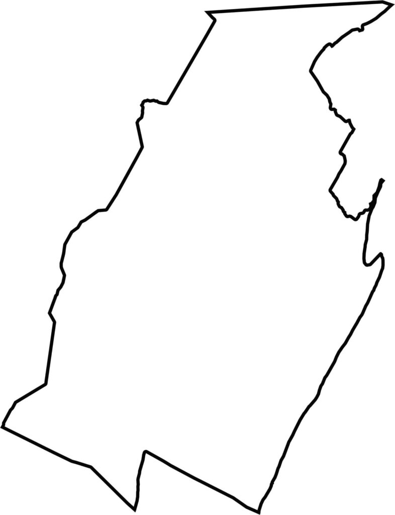
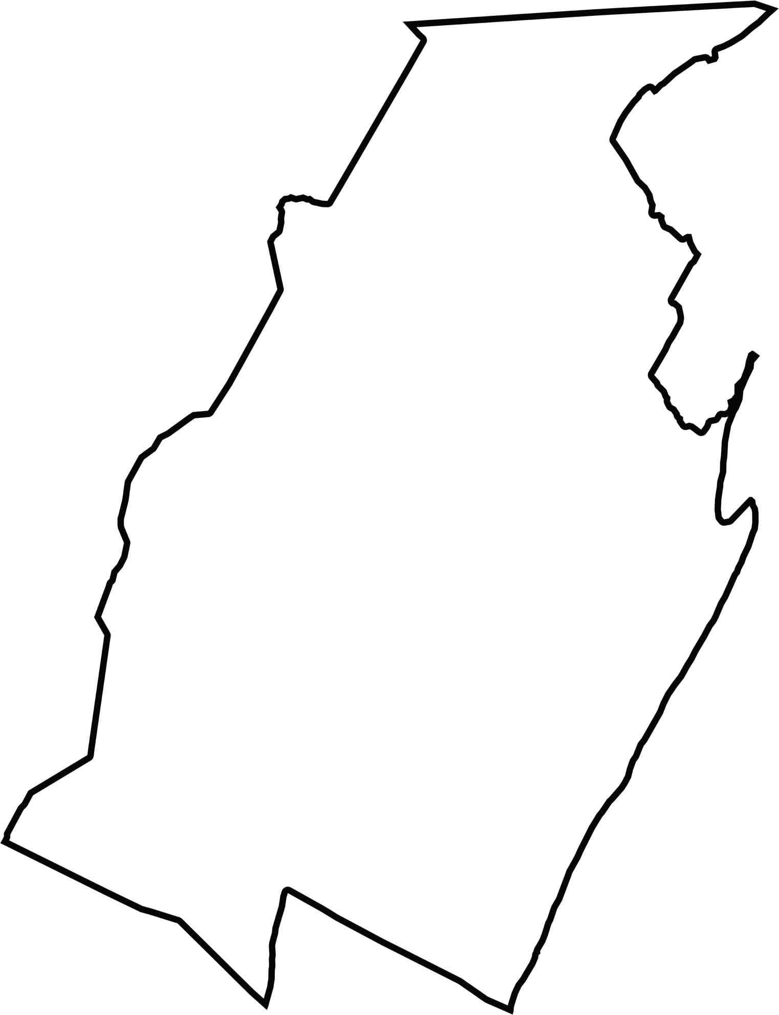
Blair County has an uneven, vertical shape that stretches longer from north to south. Its border has few straight lines and hugs ridges and valleys most of the way.







Pennsylvania's 67 counties take in the glow of the Steel City, quiet Amish country backroads, and escapes in the Pocono Mountains. Distances may differ from place to place, but the stories stay just as rich.