
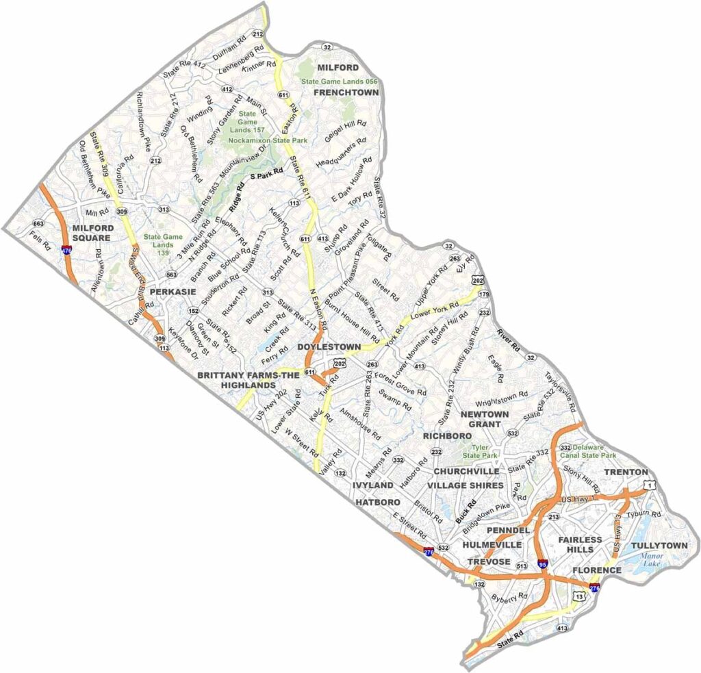
Bucks County lies just north of Philadelphia and offers a little bit of everything. Charming river towns like New Hope are known for their friendly atmosphere, while the northern parts of the county are home to sprawling farms and covered bridges.
Washington Crossing Historic Park marks the spot where George Washington and his troops crossed the Delaware during the Revolutionary War, and it remains a major point of local pride.
Doylestown, the county seat, is home to some quirky museums housed in concrete castles. The Delaware River forms the county's eastern border with New Jersey. This is a place where history and charm collide.
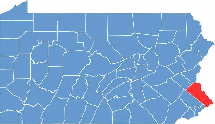
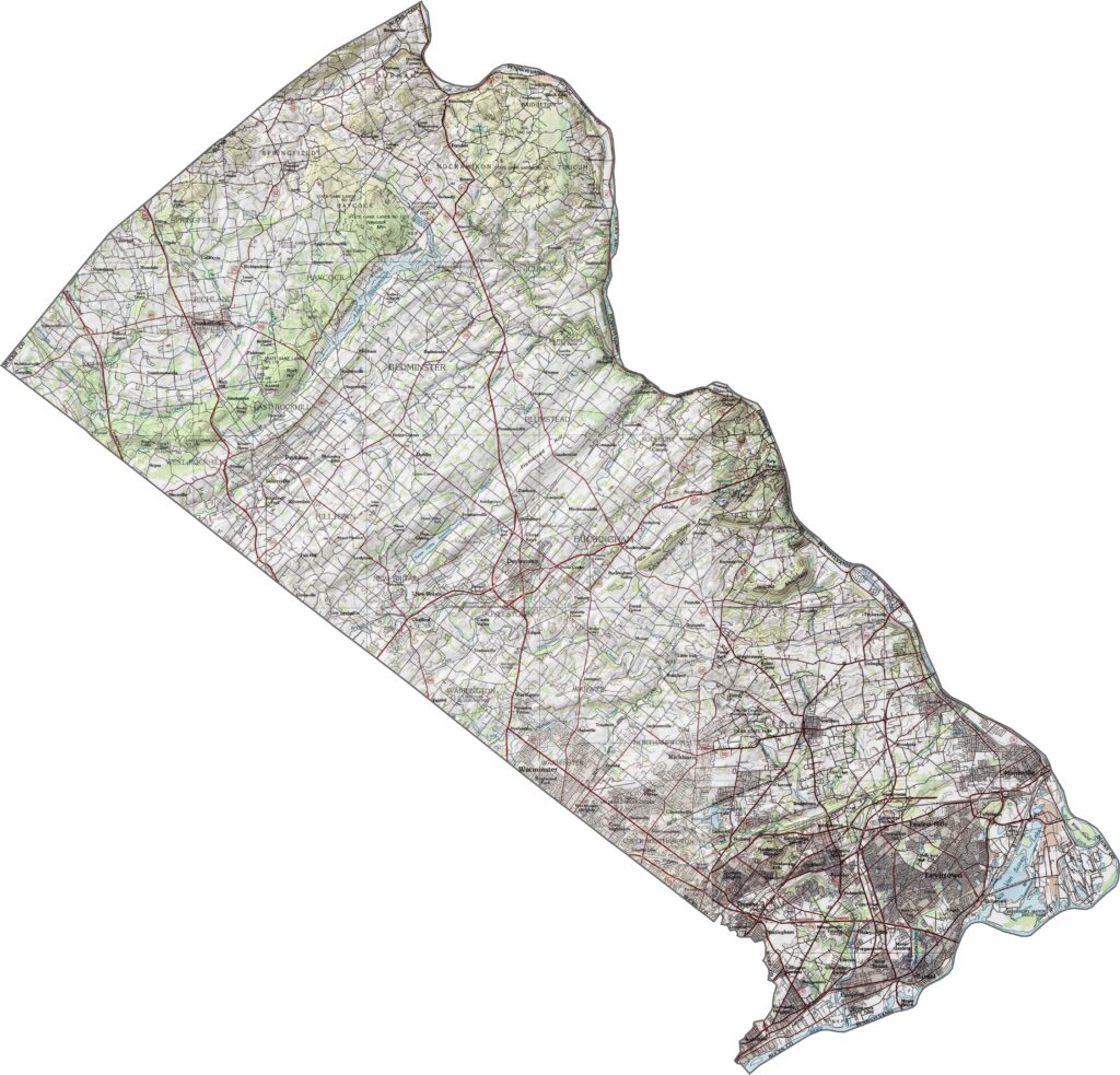
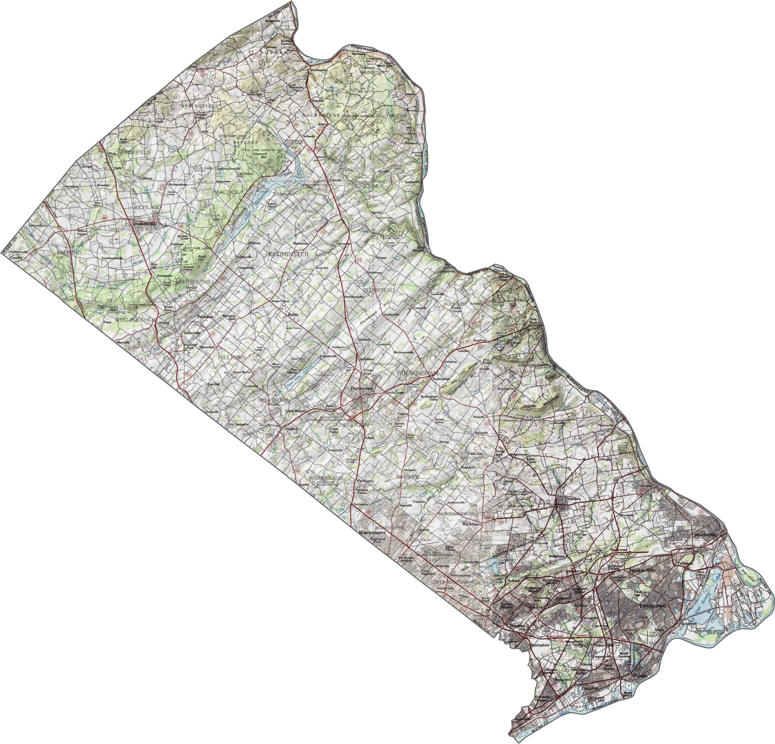
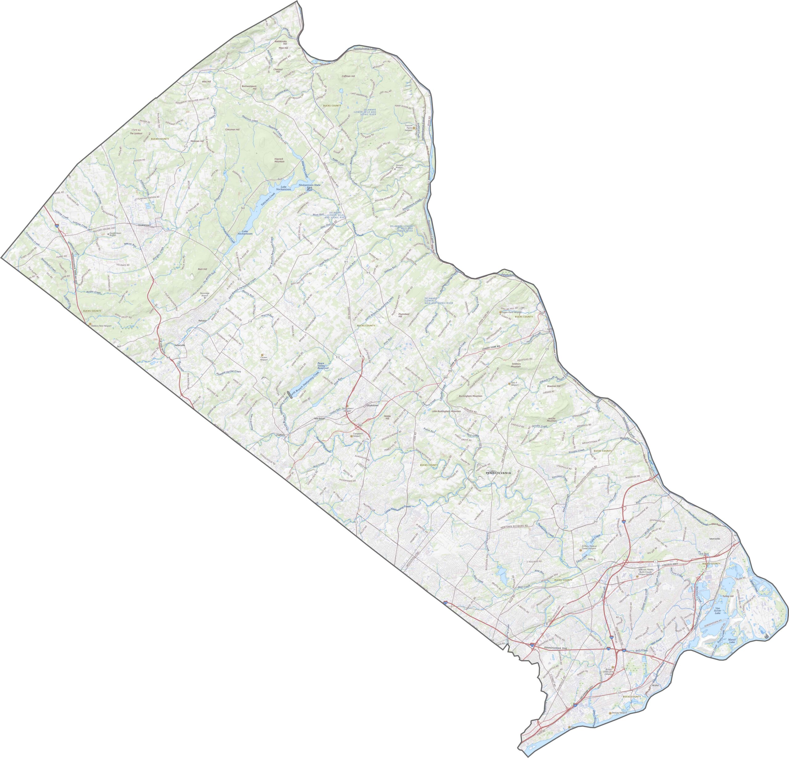
Bucks County shifts gradually from urban to rural as you move north. The southern portion is flatter, with broad, open areas, while gentle hills roll into view farther north. The landscape grows more wooded and uneven, especially near the Delaware River valley.
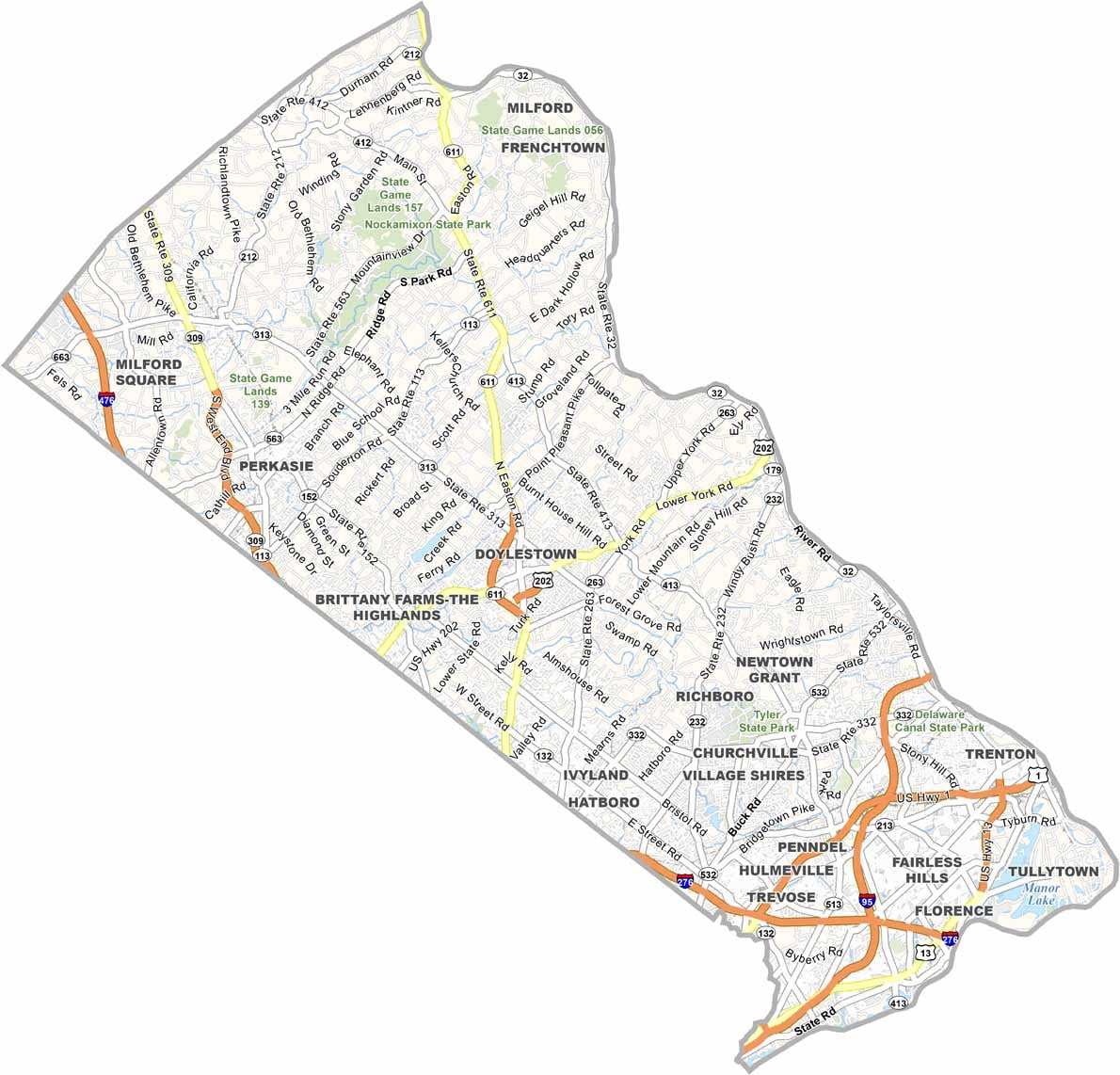
Roads in Bucks County cross the county in all directions, linking towns, suburbs, and farmland. Traffic is generally heavier toward the southern end and quieter in the north, but navigating is easy either way.
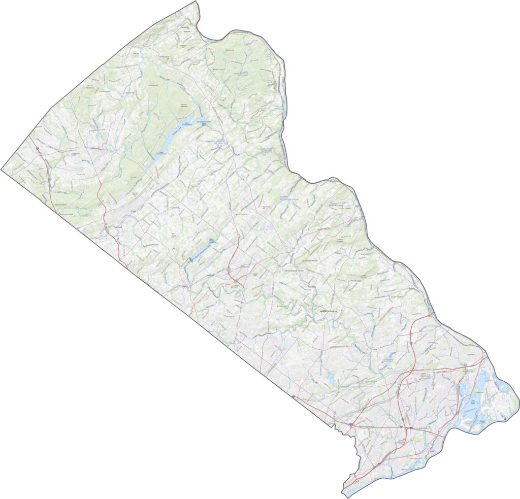
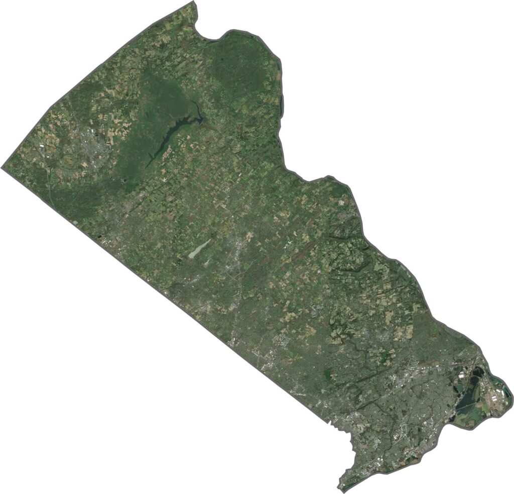
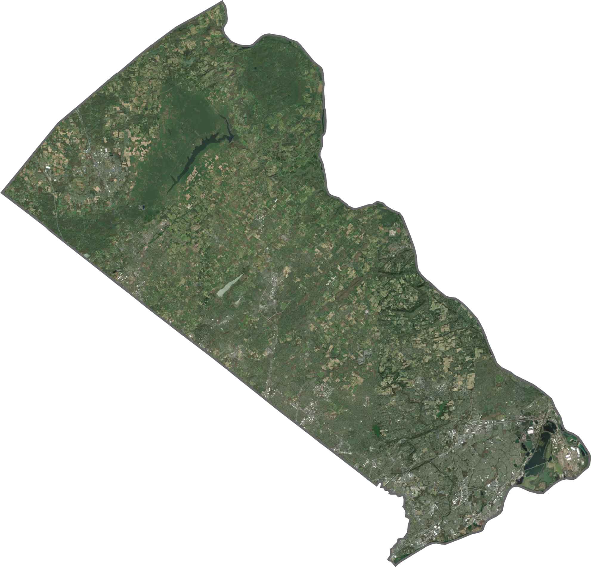
In our satellite map, the upper half of Bucks County stands out for its green. Forests and farmland cover a big stretch of the county, while the southern portion is packed with development.
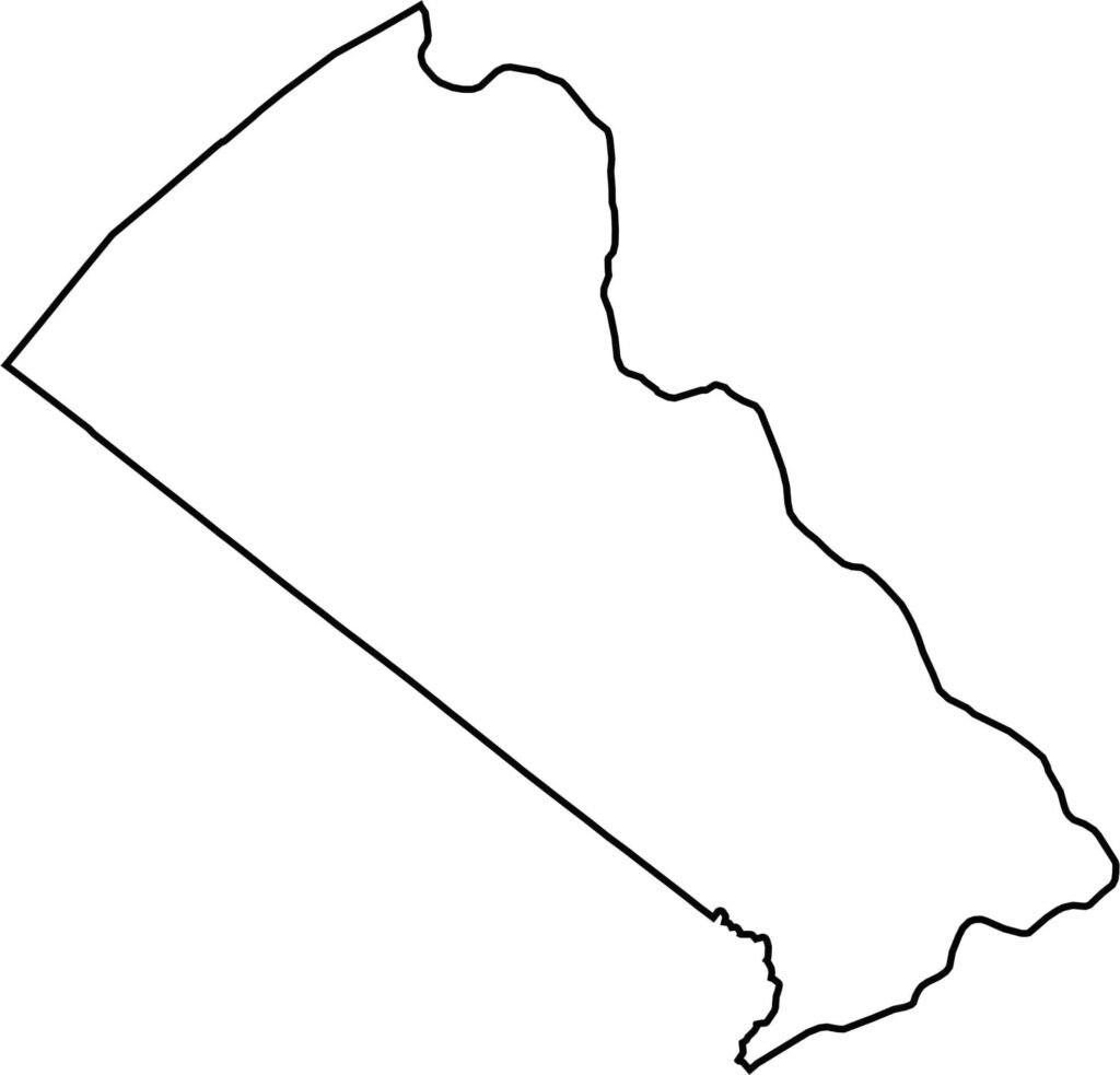
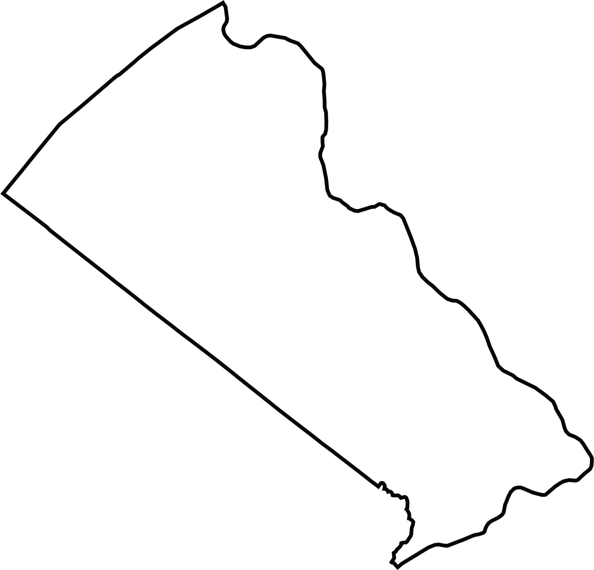
Bucks County has a long, pointed shape, tipped sideways. Its eastern border follows the Delaware River, which separates it from New Jersey, while the rest of the boundary cuts cleanly across land with just a few curves and dips.







Pennsylvania's 67 counties take in the glow of the Steel City, quiet Amish country backroads, and escapes in the Pocono Mountains. Distances may differ from place to place, but the stories stay just as rich.