
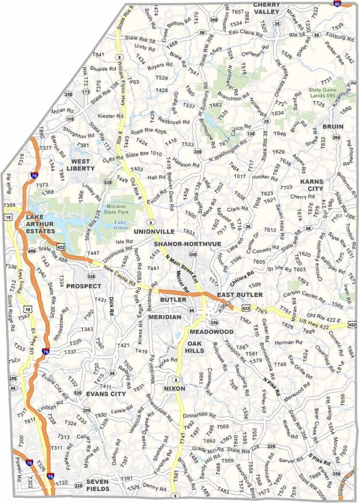
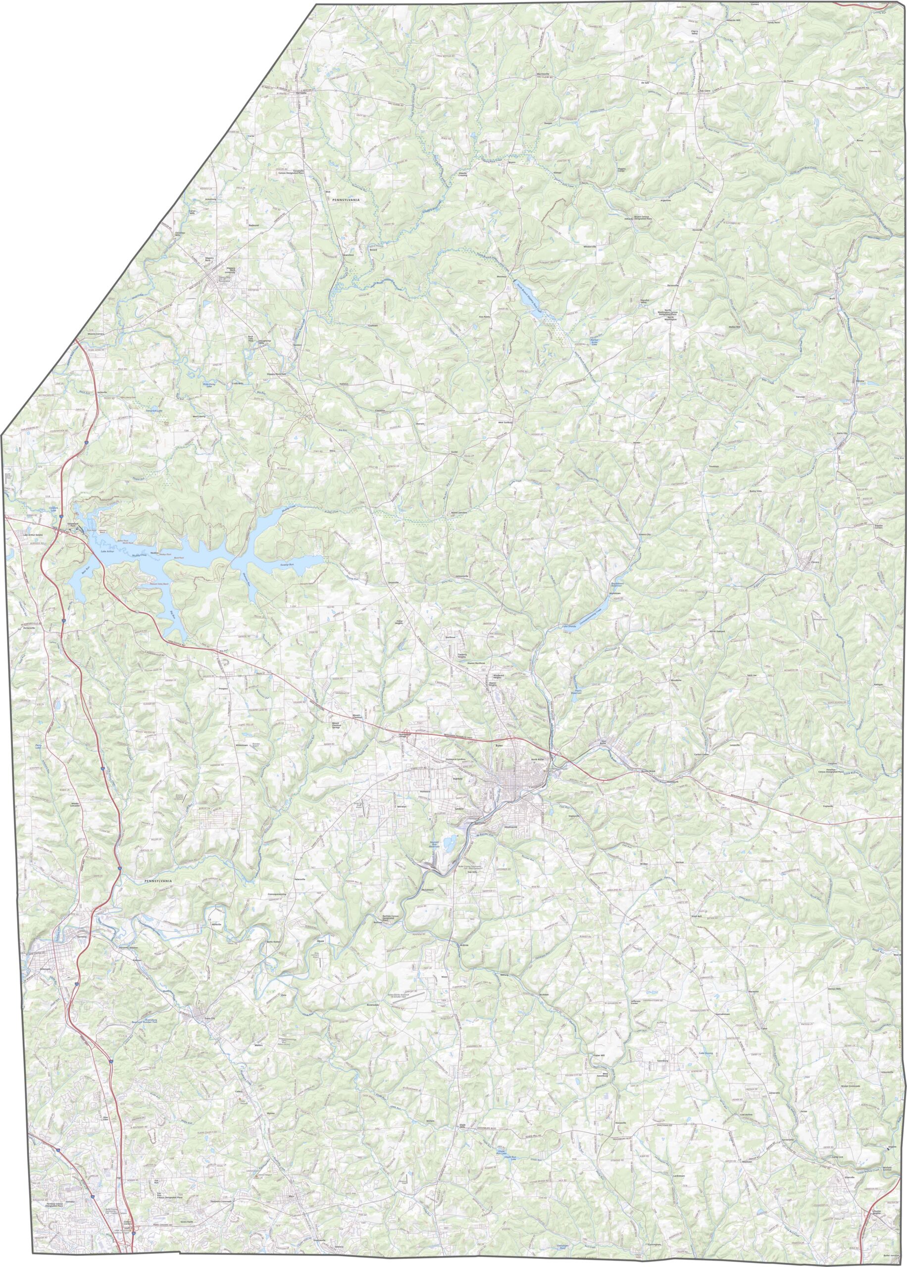
Butler County lies about 30 miles north of Pittsburgh in western Pennsylvania, where traces of the old rust belt blend with new suburban growth.
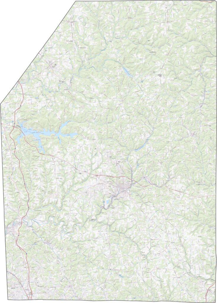
The landscape is full of rolling hills, farms, and woods. Moraine State Park sits along Lake Arthur, and visitors can boat, fish, or simply relax on the beaches.
The county has deep ties to the early oil industry. Butler, the county seat, has an appealing main street with some great local shops, while Saxonburg is another charming little town, founded by German immigrants in the 1800s.
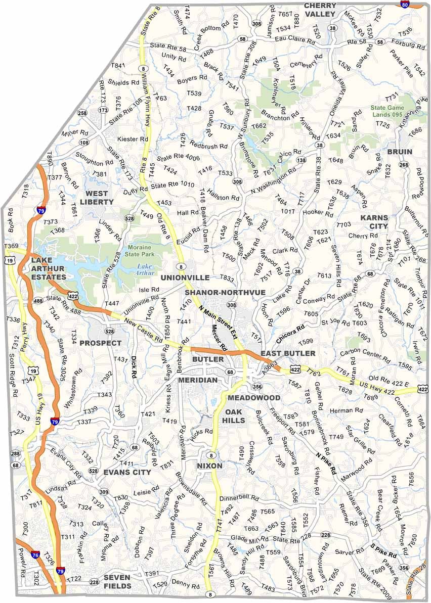
Butler County's highways cut through farmland, forests, and rolling hills. Rural areas have fewer connections, but there are still enough routes to get around. Our zoom tool in the road map below is a handy way to learn more about the county's transportation system.
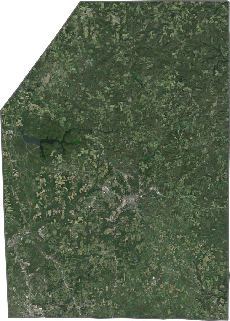
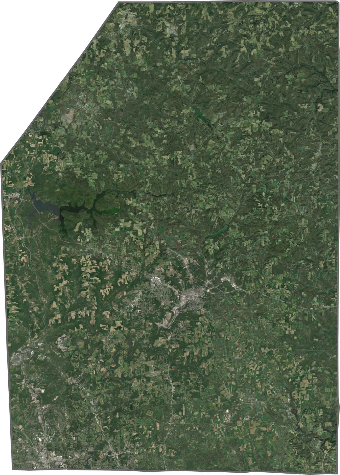
In our satellite map, green covers most of the county, with strong tree cover especially in the north and west. Towns and suburbs form light gray clusters, and lakes and reservoirs stand out in blue, particularly Lake Arthur.
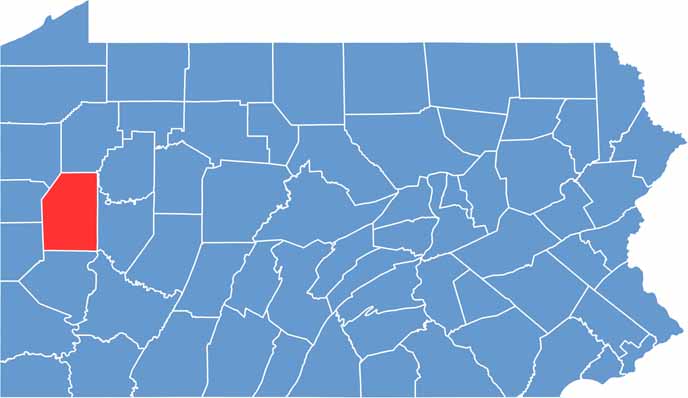
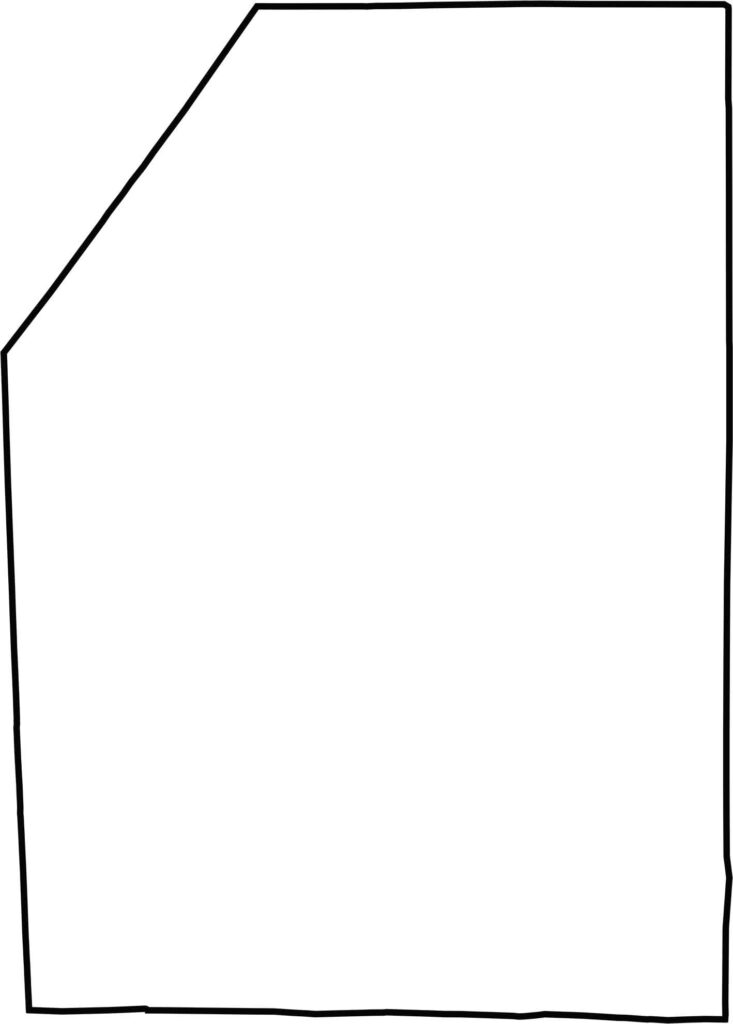
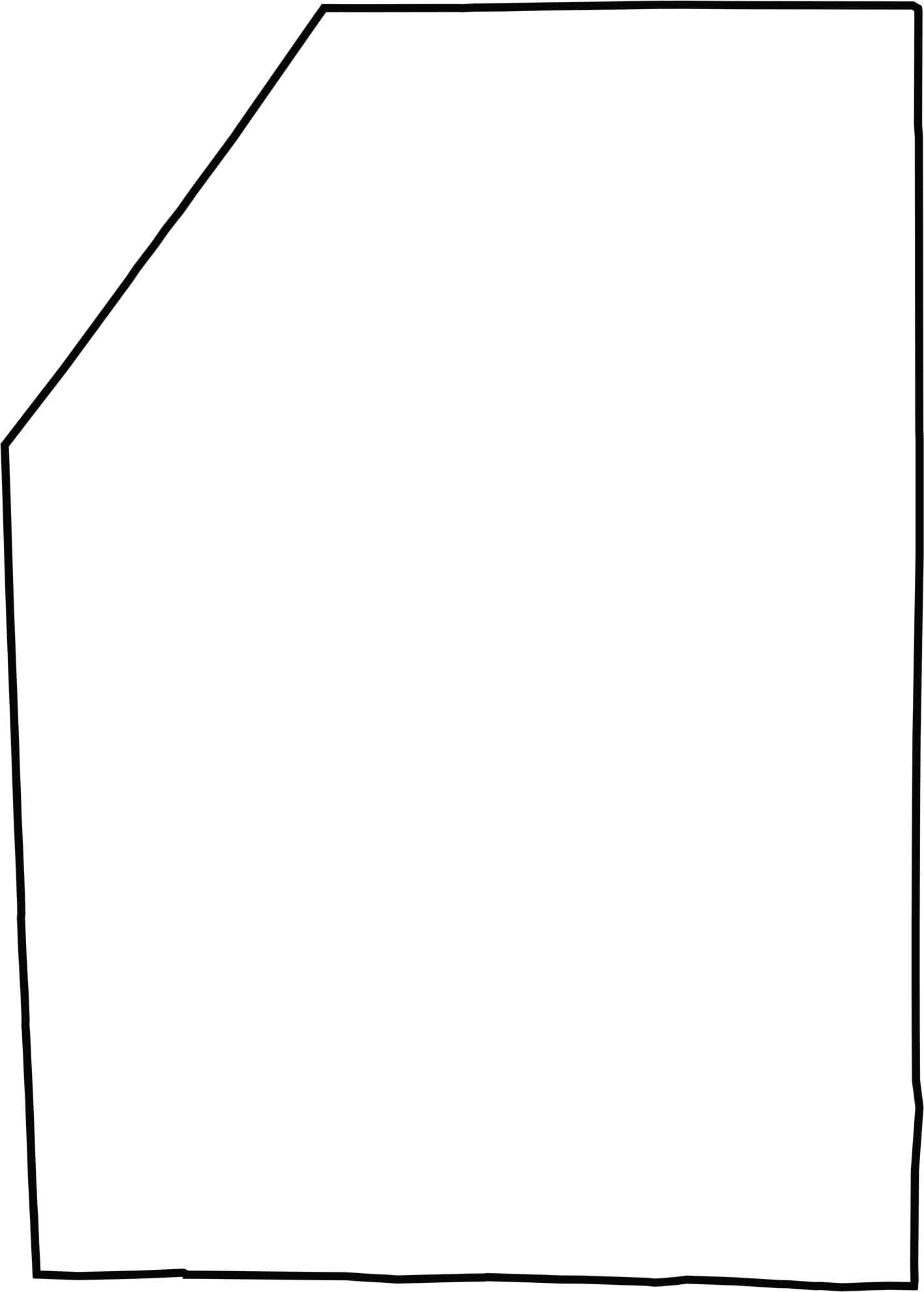
Butler County has a wide, blocky shape with a triangular corner in the northwest. It doesn't border another state, though it sits fairly close to Ohio.







Pennsylvania's 67 counties take in the glow of the Steel City, quiet Amish country backroads, and escapes in the Pocono Mountains. Distances may differ from place to place, but the stories stay just as rich.