
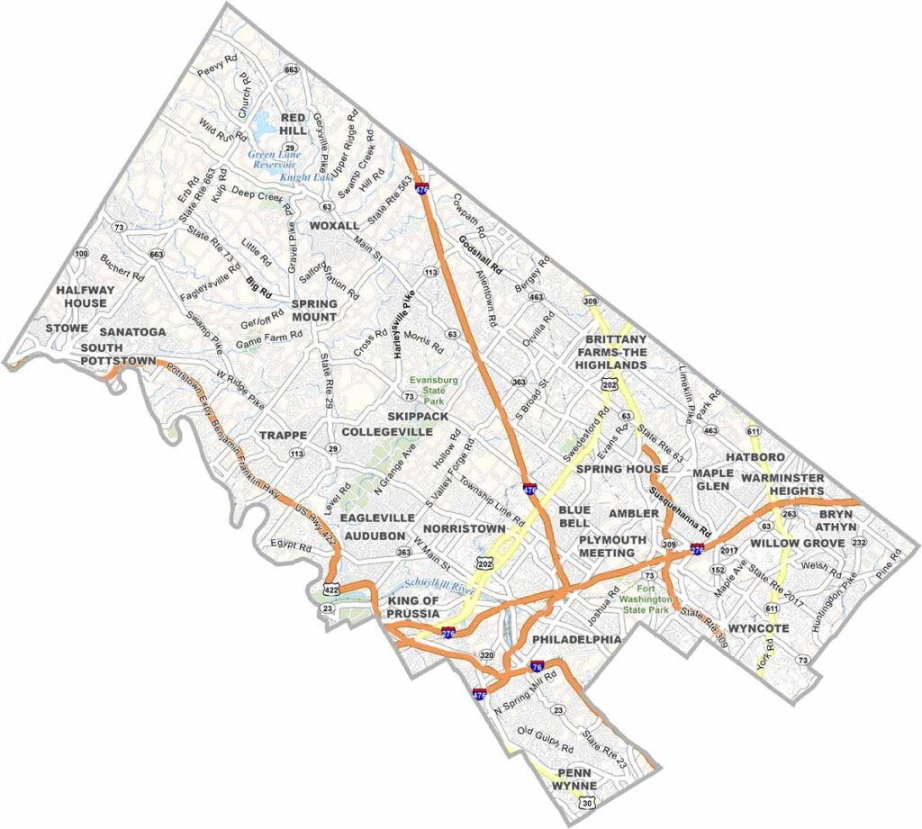
Montgomery County is just outside Philadelphia. The county has some serious Revolutionary War cred, with Valley Forge National Historical Park right here. But it's not stuck in the past.
King of Prussia Mall draws shoppers from all over. Montco, as locals call it, has great schools and leafy suburbs, making it perfect for families looking for a quieter life near the big city.
Evansburg State Park is great for hiking and nature lovers. The restaurant scene is pretty solid too, from Polish pierogies to high-end farm-to-table spots, so there's something for everyone.
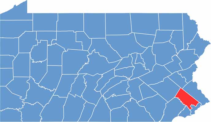
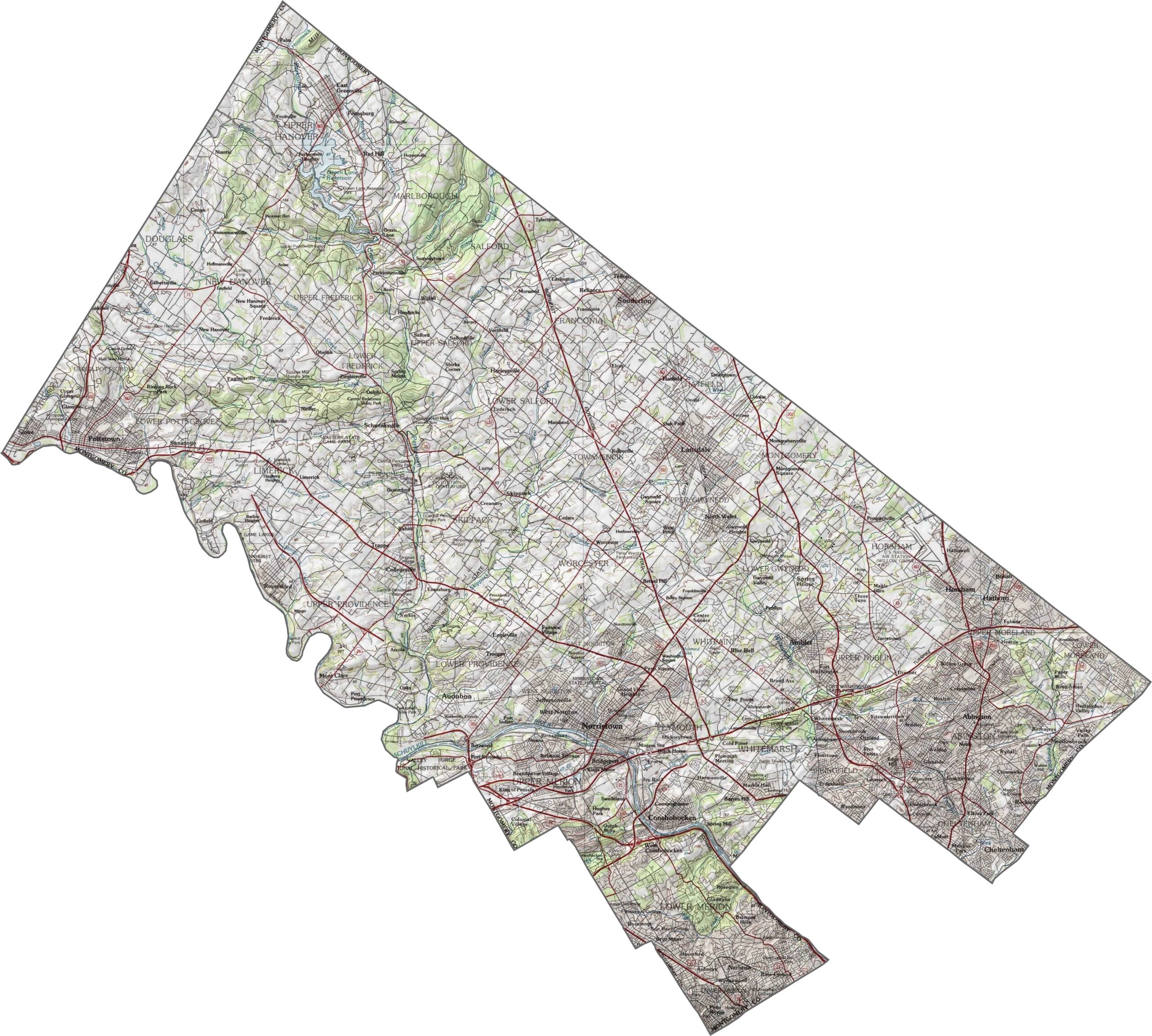
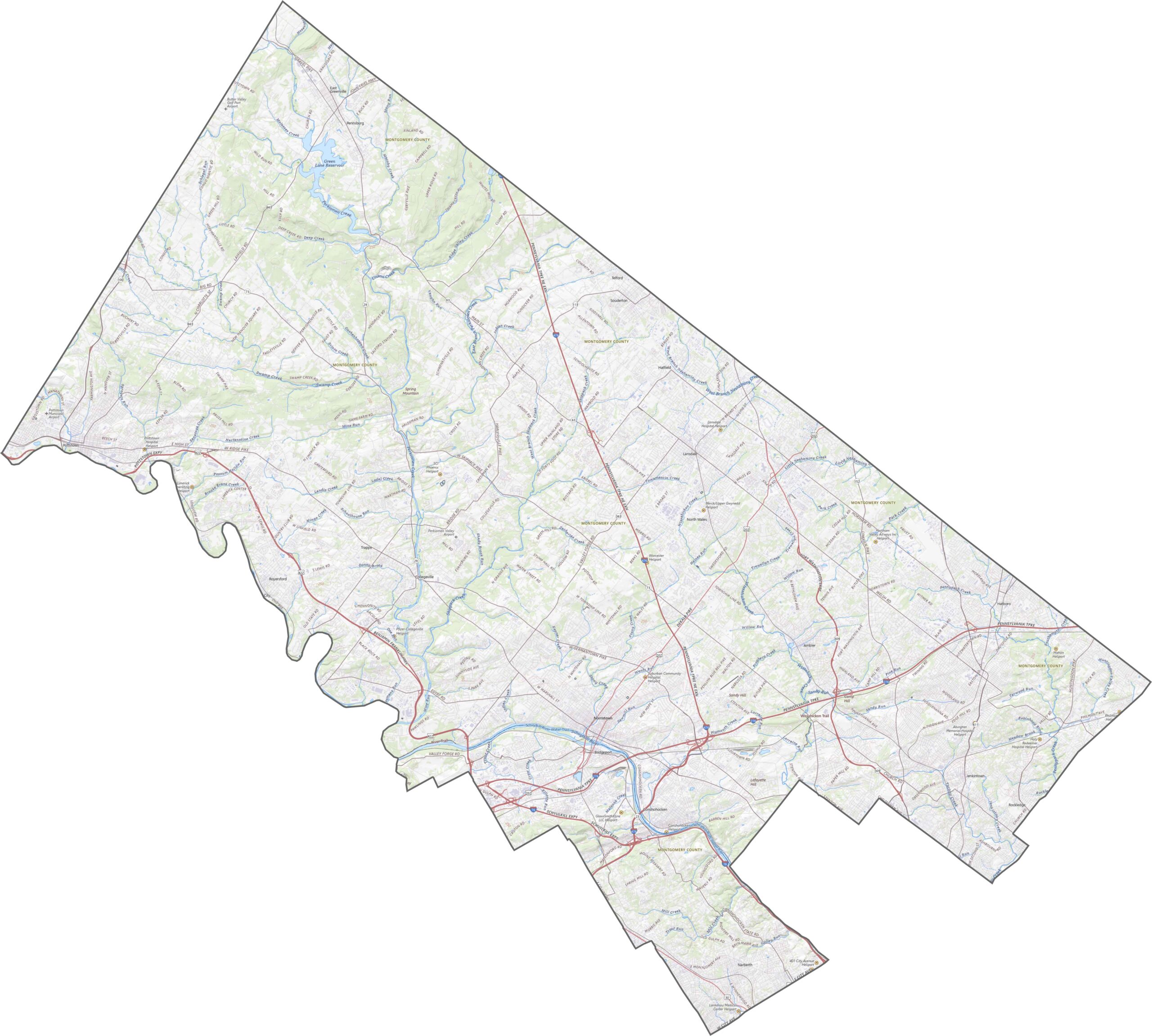
Montgomery County is mostly rolling hills, with no major elevation extremes. A few higher ridges cut across the northwest, but the rest is soft terrain. Elevation generally slopes downward toward the Schuylkill River in the south.
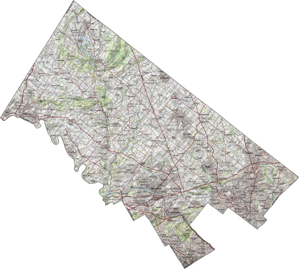
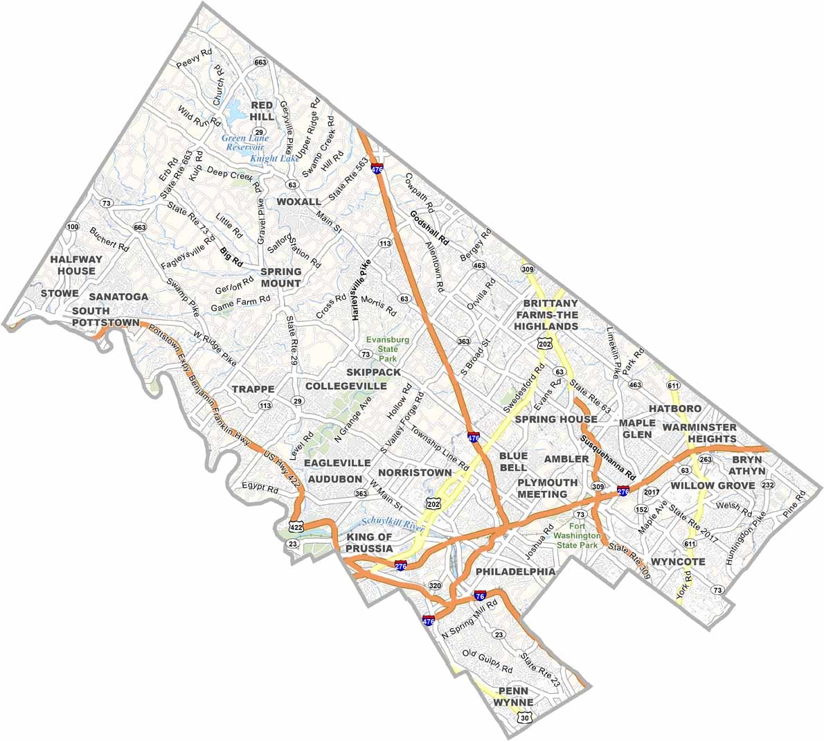
Montgomery County has a dense and layered road network. Suburban sprawl means roads head in every direction, often crisscrossing and overlapping. Interstate 76, Interstate 476, and Interstate 276 carry the most travelers.
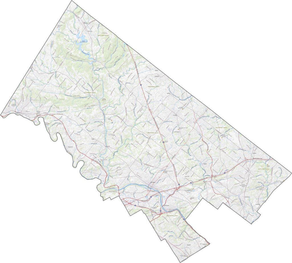
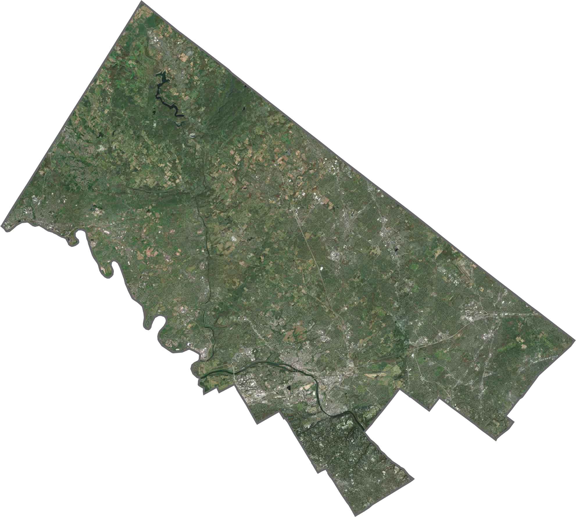
From above, Montgomery County is a tight mix of neighborhoods and green belts. Parks and wooded areas are found between busy suburbs. The southern edge blends into Philadelphia, while the north still holds patches of farmland.
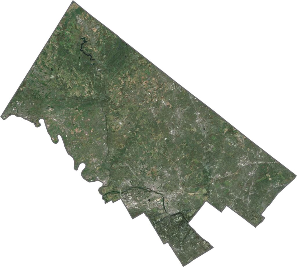
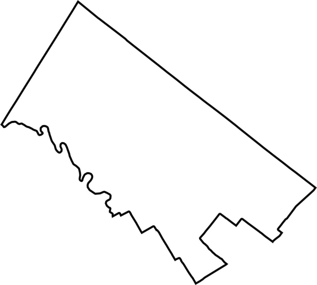
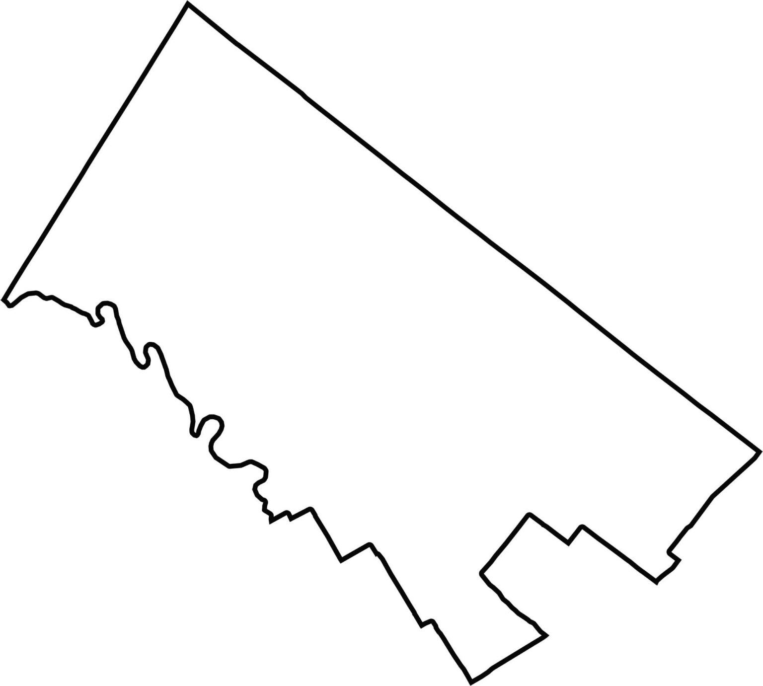
Montgomery County has a bulky shape with several jagged edges. The southwestern boundary follows the Schuylkill River, separating it from Philadelphia.







Pennsylvania's 67 counties take in the glow of the Steel City, quiet Amish country backroads, and escapes in the Pocono Mountains. Distances may differ from place to place, but the stories stay just as rich.