
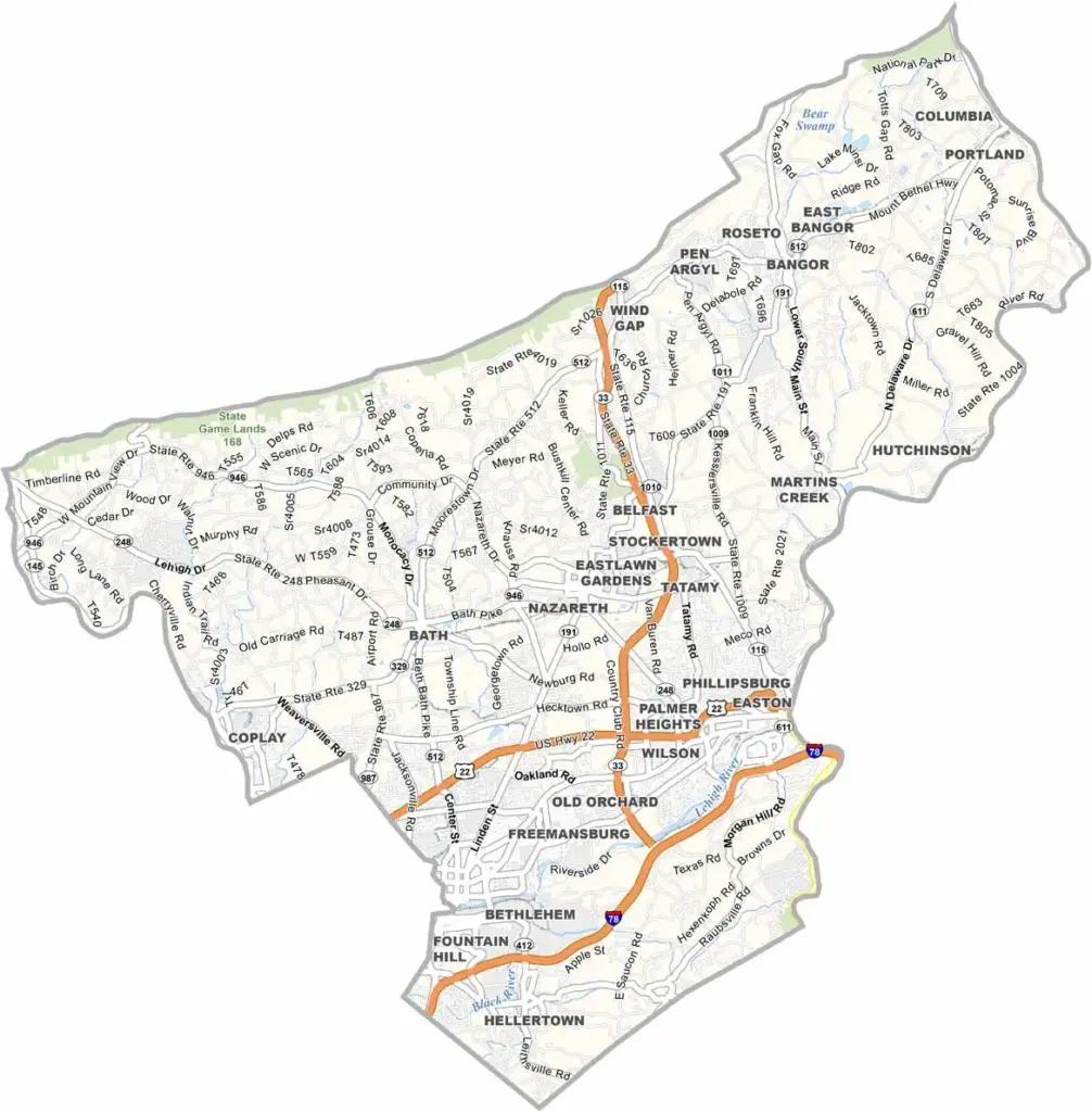
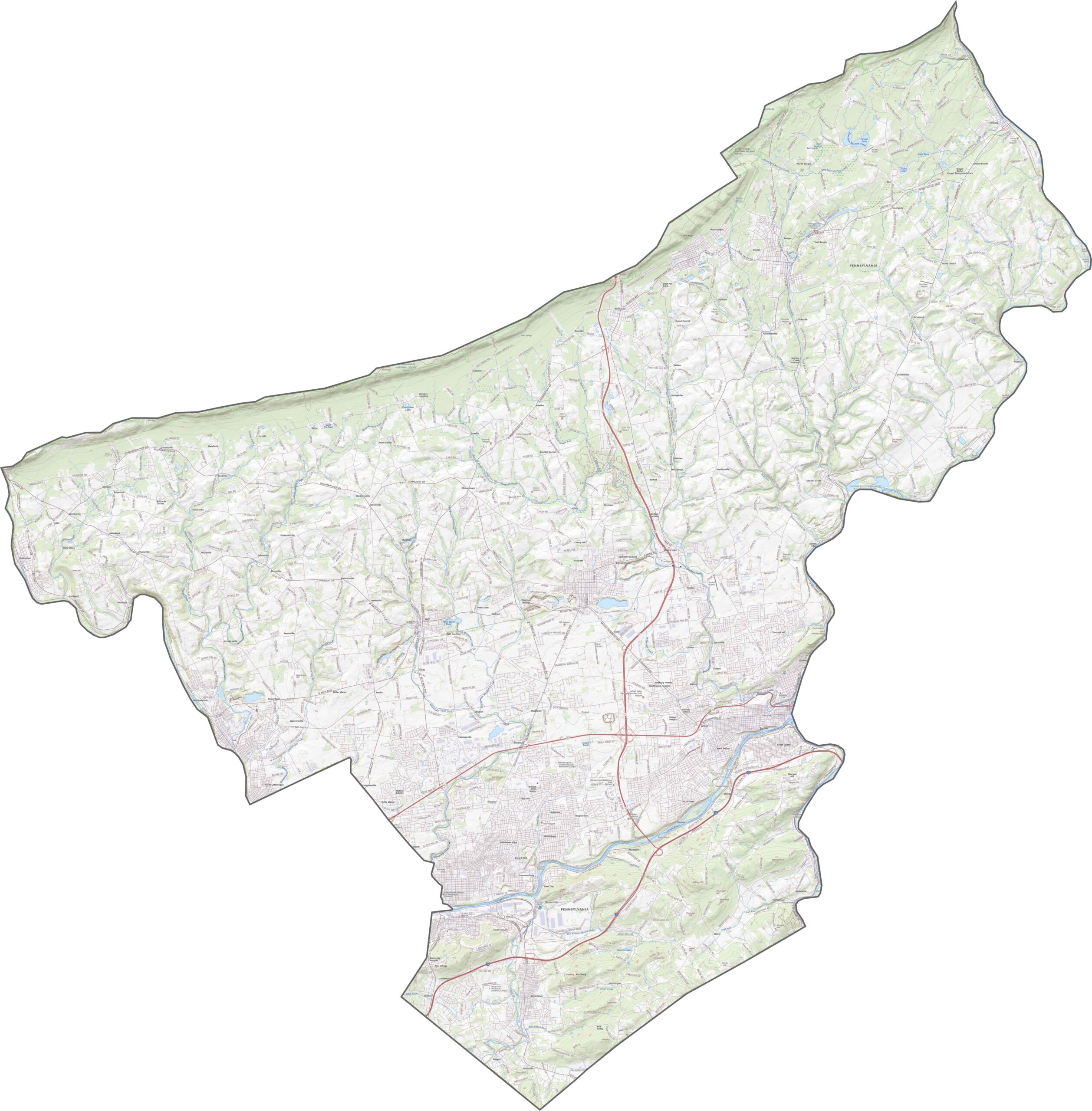
Northampton County is in the middle of the Lehigh Valley in eastern Pennsylvania. Easton, the county seat, sits where the Lehigh River and Delaware River meet. It's home to Lafayette College and has a great farmers' market.
Bethlehem, one of the county's major cities, really shines during the holidays. They don't call it "Christmas City" for nothing. The old Bethlehem Steel plant has been transformed into an arts and entertainment complex, a pretty cool way to honor the area's industrial past.
Visitors love the Delaware Water Gap for hiking and kayaking, with its rolling hills, river valleys, and lush woodlands. The Delaware River forms the county's eastern border, separating it from New Jersey.
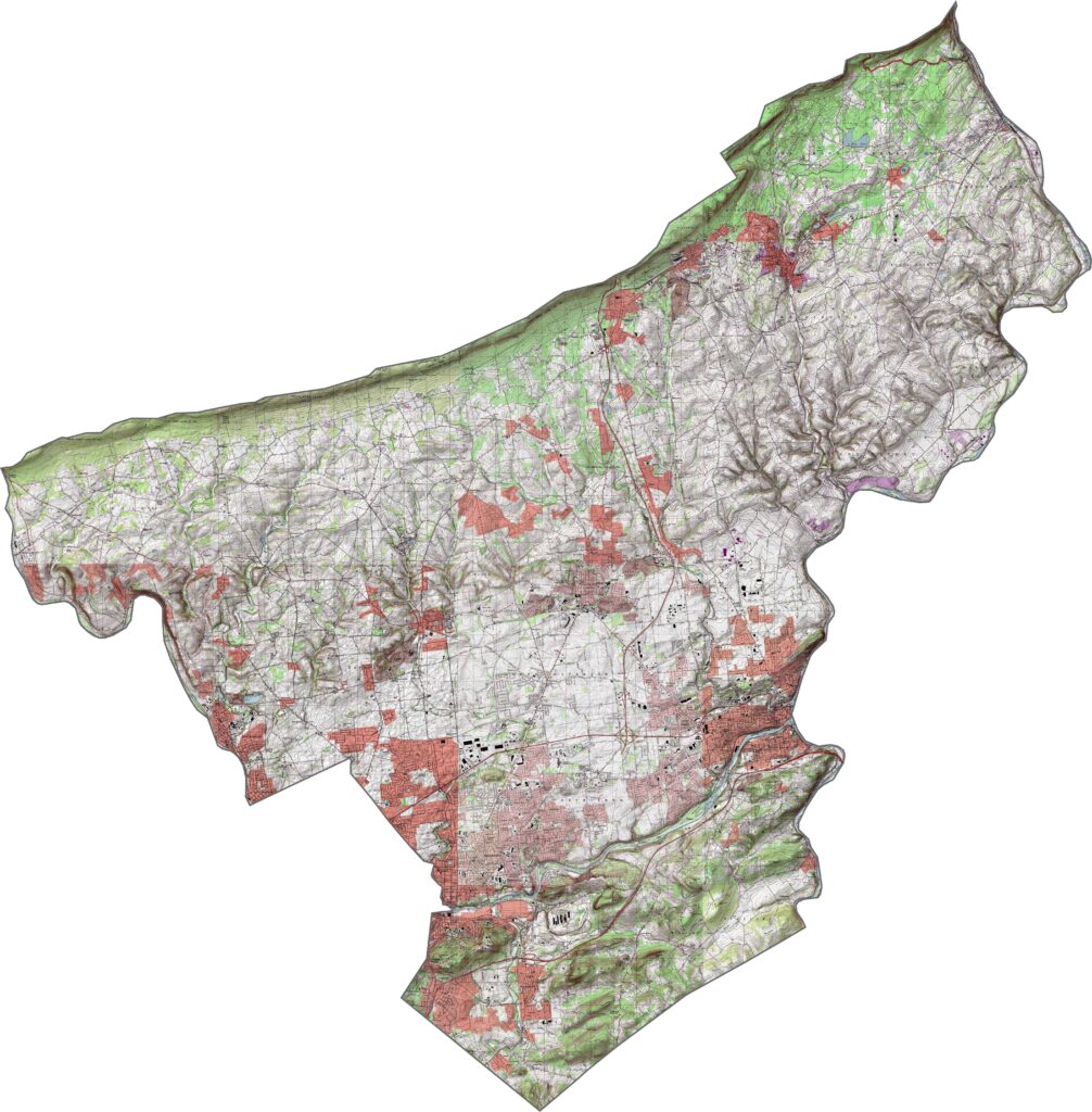
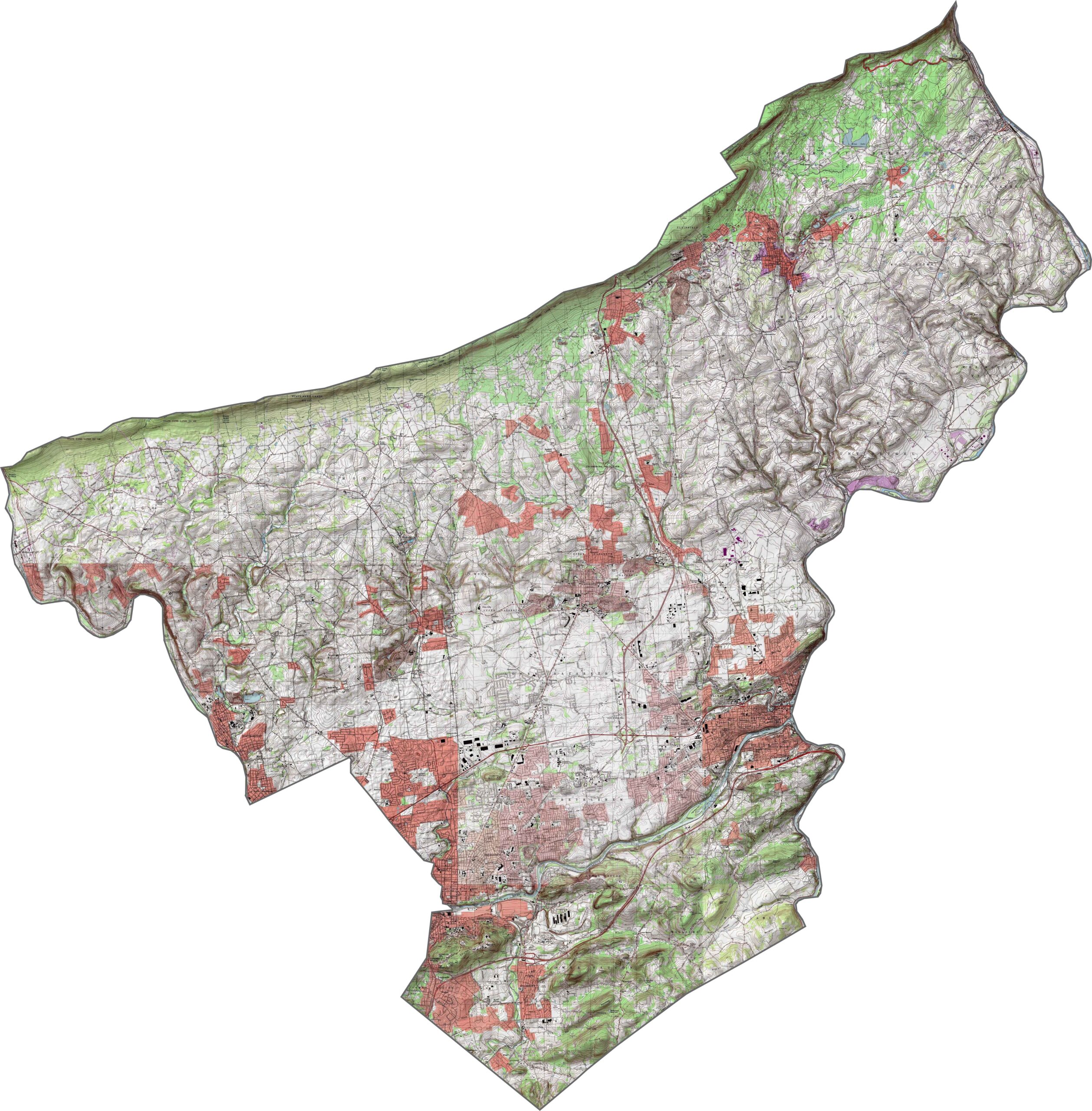
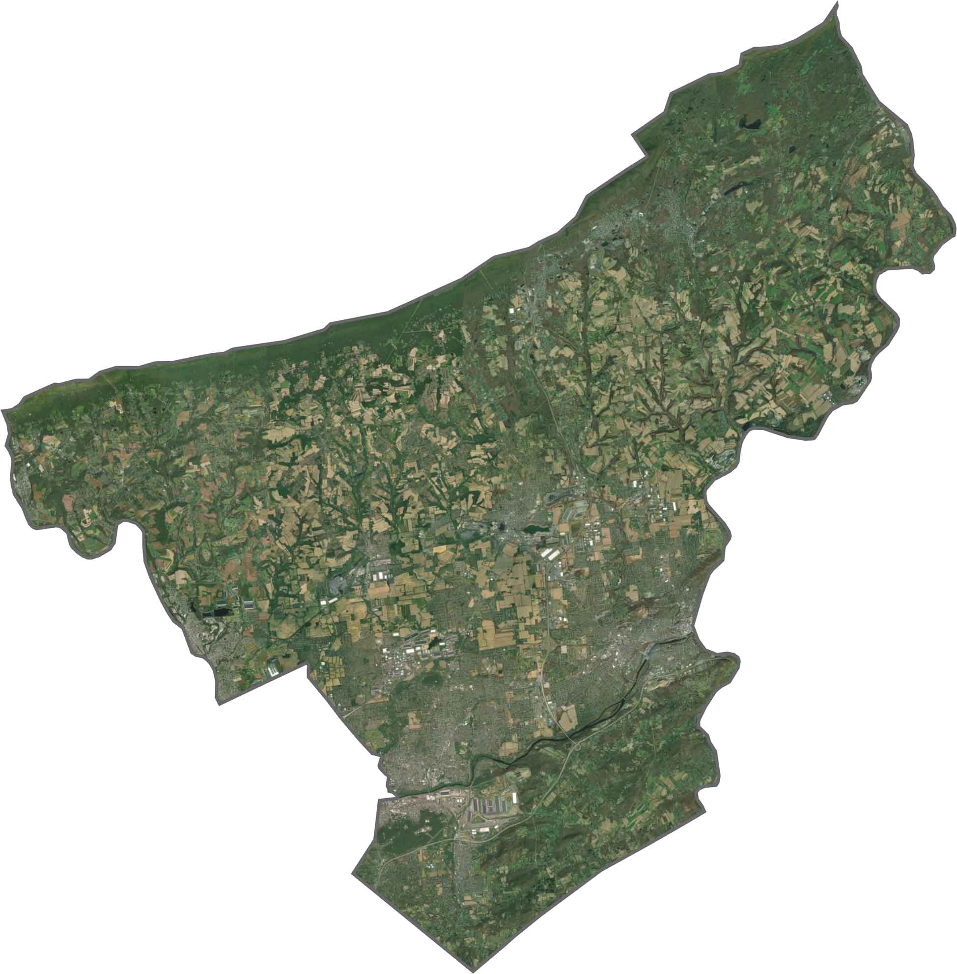
Northampton County contains flat floodplains in the south and rising hills to the north. The Lehigh River slices through, shaping the land and the towns. Elevation increases as you head toward the Poconos, but nothing gets too extreme.
Northampton County's highways cluster densely near Easton and Bethlehem, then stretch out through farmland and hills. Interstate 78, U.S. Highway 22, and U.S. Highway 33 are the major highways here. Check out our zoom tool below to get all the details.
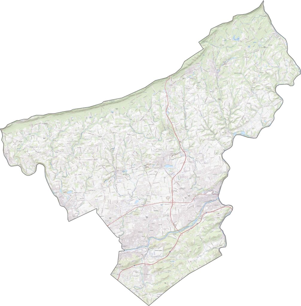
Urban areas line the river, with factories, bridges, and row homes packed in tight. But not far out, green fields and wooded hills take over. The Delaware River creates a clear eastern edge, and farmland fans out in the northwest.
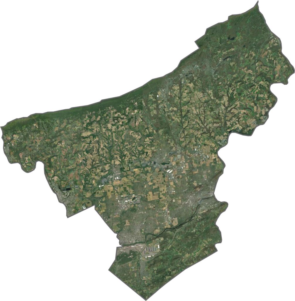
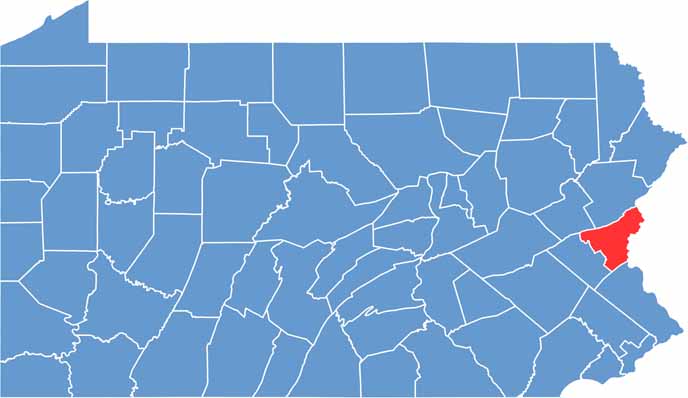
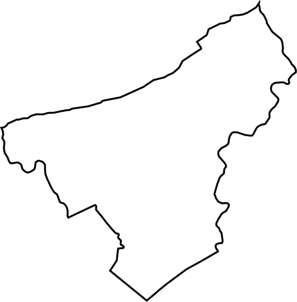
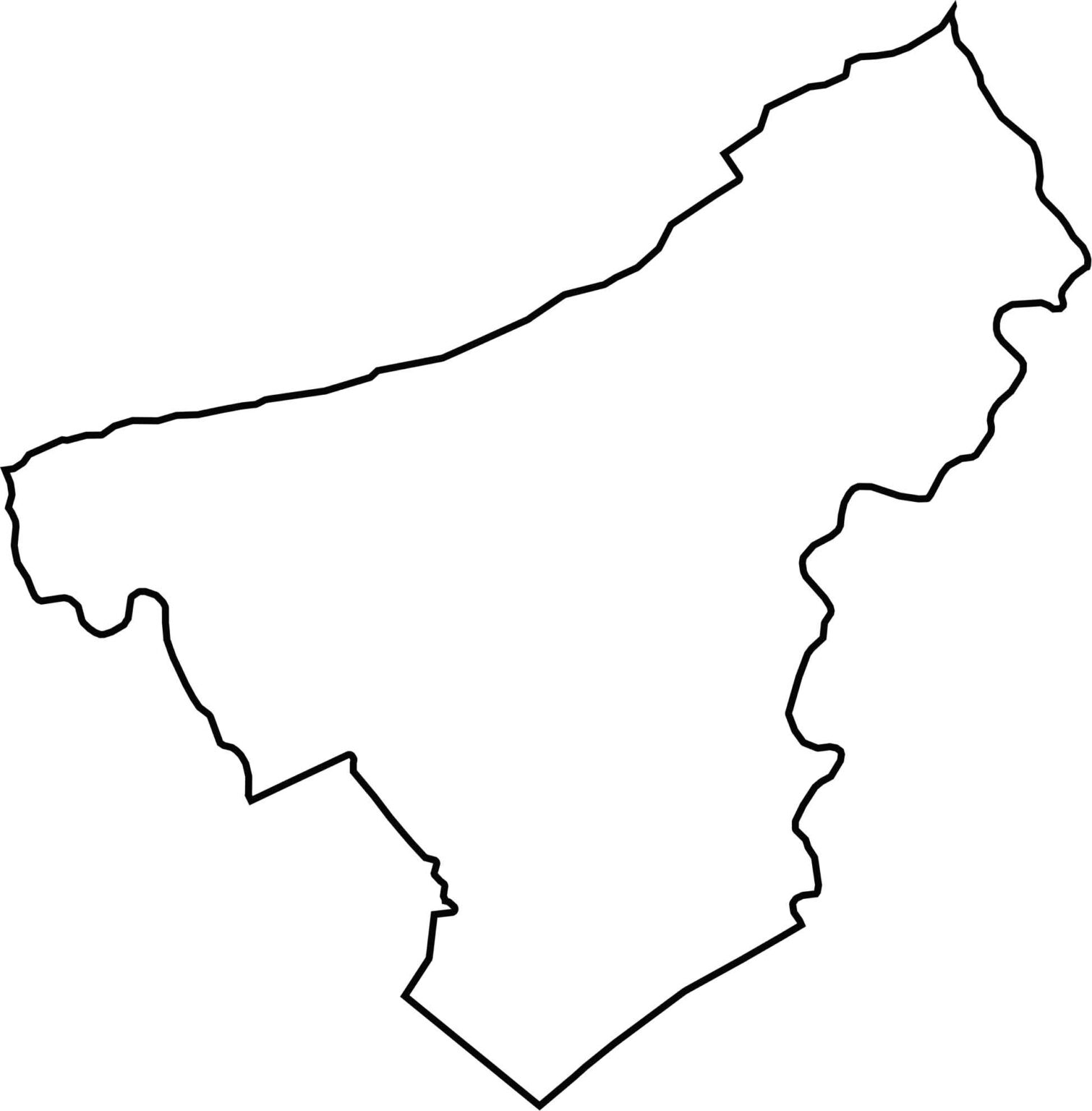
Northampton County has a squarish body with a curving eastern border along the Delaware River. That river also separates it from New Jersey. The county has a compact, well-defined shape, with the Lehigh River marking the western border.








Pennsylvania's 67 counties take in the glow of the Steel City, quiet Amish country backroads, and escapes in the Pocono Mountains. Distances may differ from place to place, but the stories stay just as rich.