
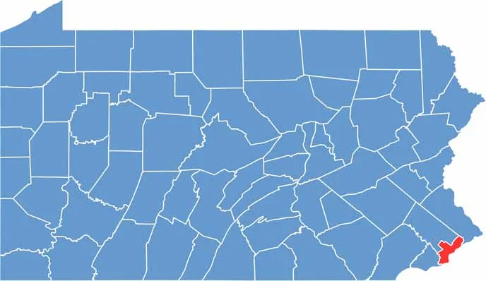
Philly, the City of Brotherly Love, is Pennsylvania's most populous county, situated in the southeast corner of the state. It borders New Jersey to the east. The county is home to world-class universities like Penn and Drexel.
Philadelphia County has a bit of everything. History? You bet. The Liberty Bell and Independence Hall are must-sees. Food? Try a cheesesteak. Sports fans are intense here, cheering for the Eagles, Flyers, and Phillies. It's loud, proud, and full of character.
Art lovers flock to the Philadelphia Museum of Art, famous for its "Rocky steps." While Fairmount Park offers a green escape from urban life, Center City is filled with skyscrapers. Love it or hate it, there's no place quite like Philadelphia County.
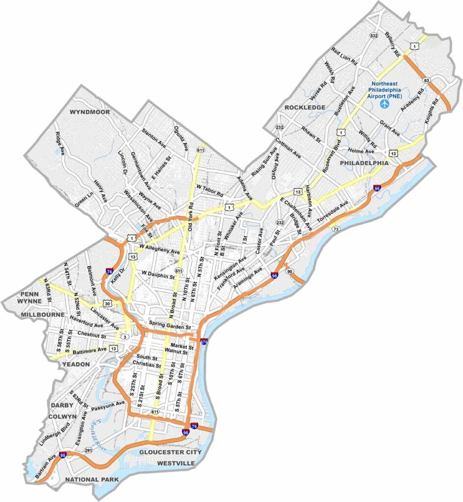
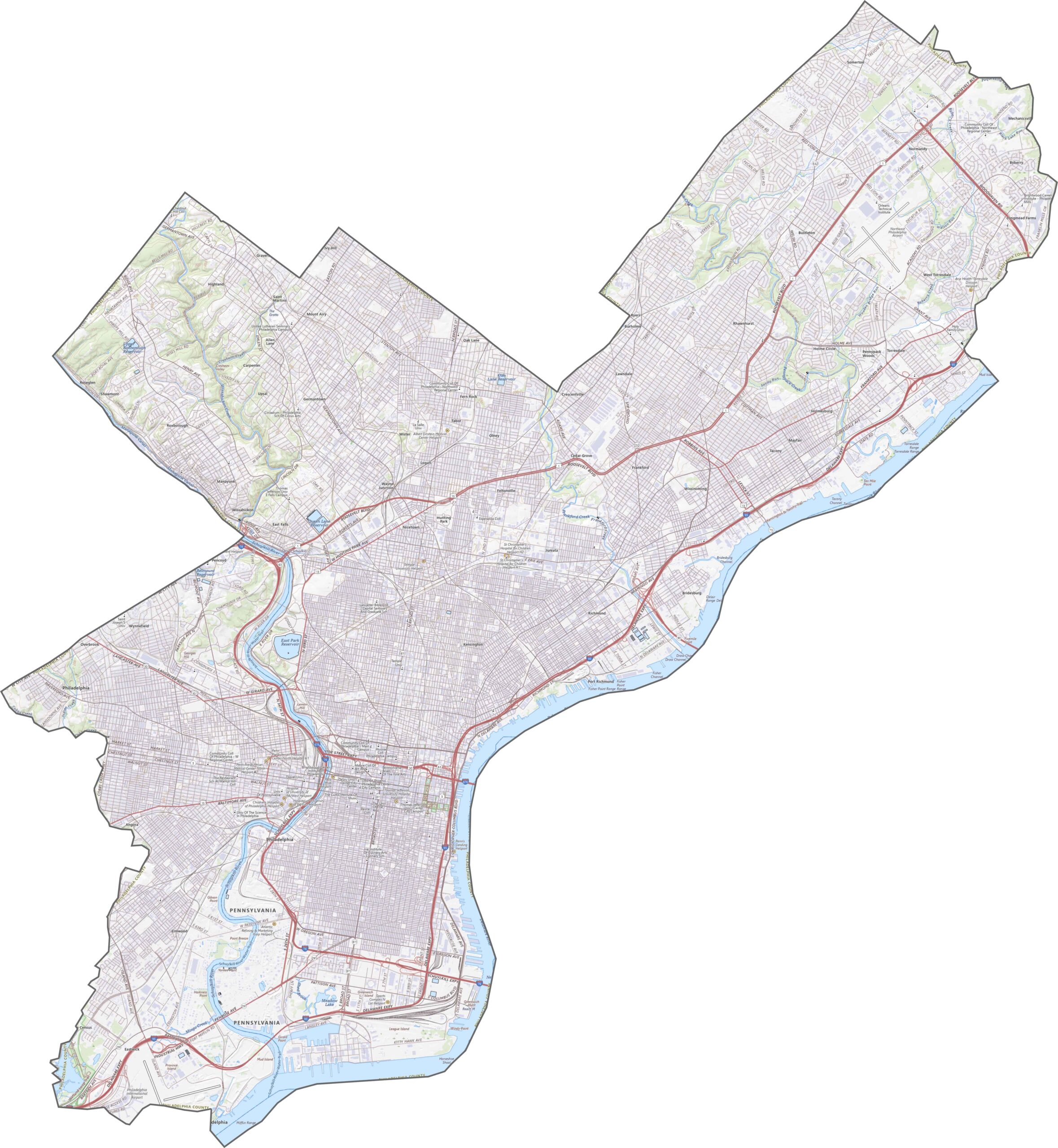
Philadelphia's roads are dense, layered, and historic. Highways weave through centuries-old neighborhoods, looping around rivers and slicing under parks. Zoom in on our map to make sense of every route.
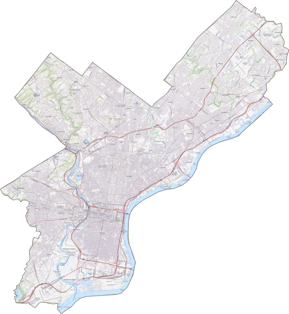
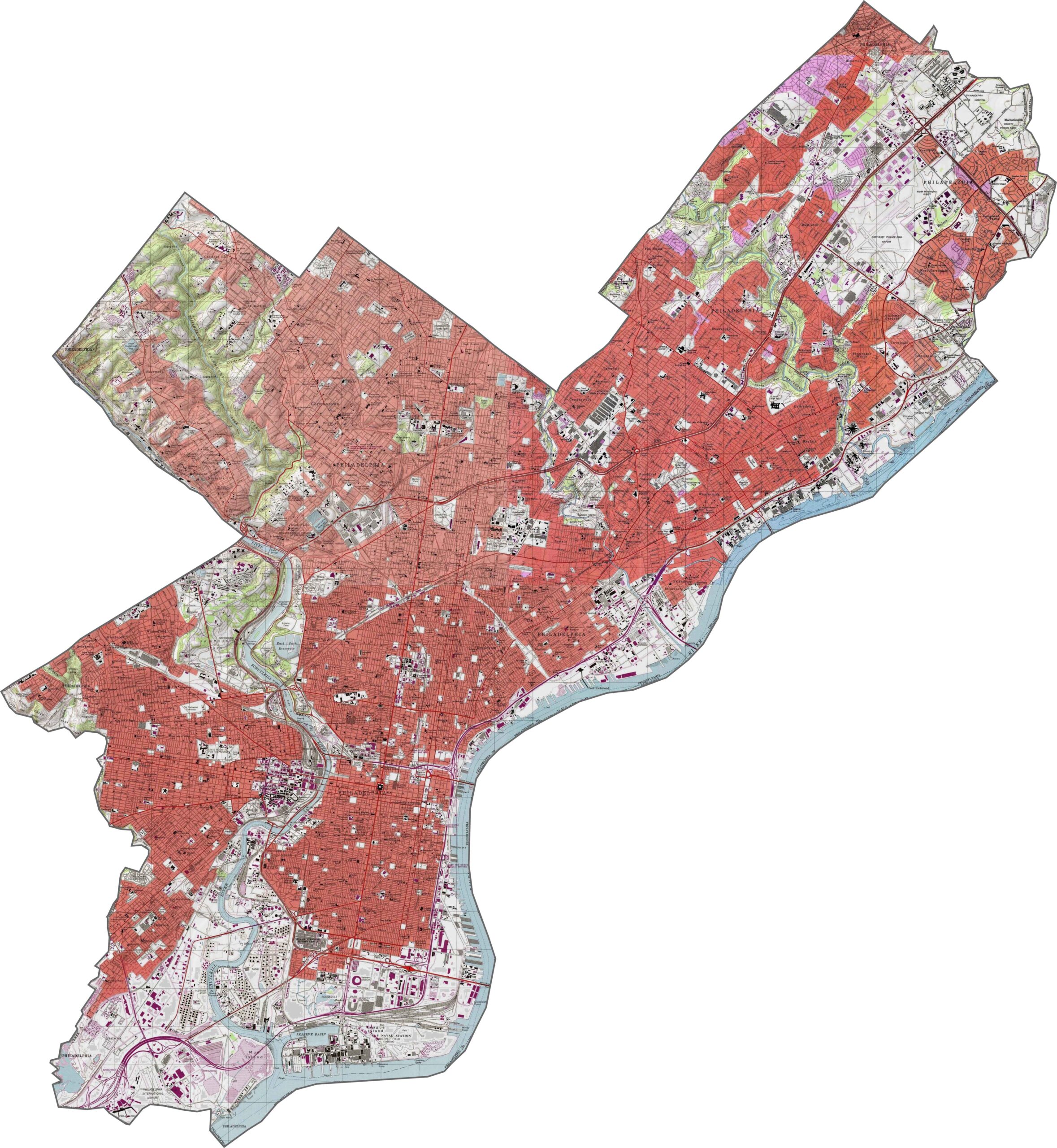
Most of the land in Philadelphia County is low, flat, and urban. A few rolling hills rise in the northwest, but elevation barely breaks a sweat. The Schuylkill River and Delaware River carve out the edges and shape the city's layout.
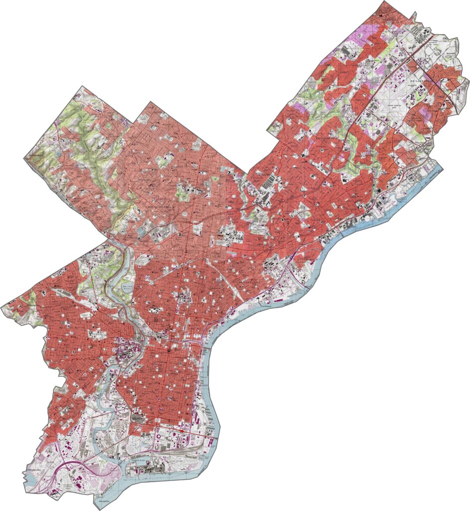
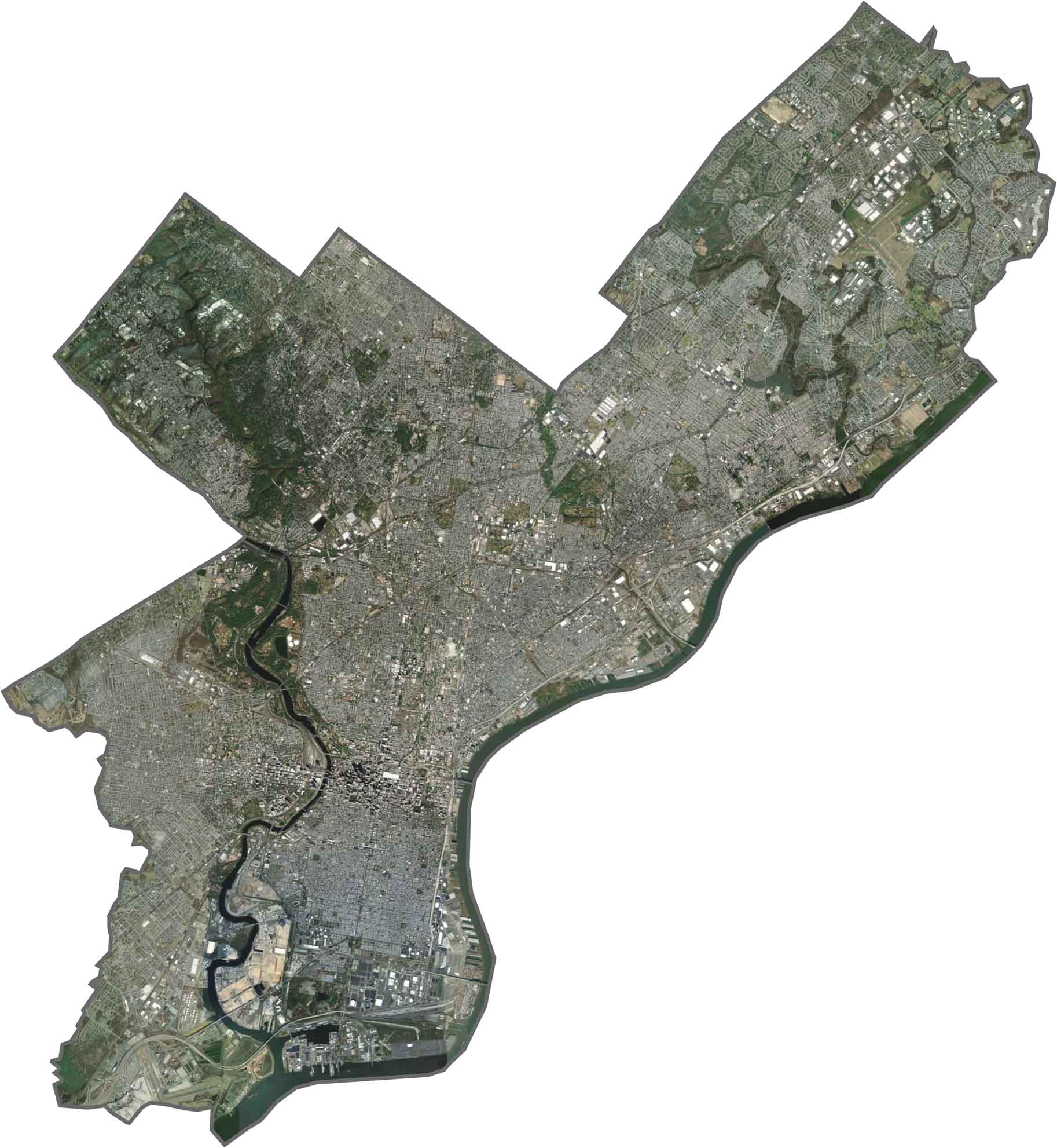
From above, it's almost all gray with buildings, roads, and rooftops. It's busy. But look closer, and you'll spot green slices like Wissahickon Valley Park and Fairmount Park. The rivers stand out too, bending and splitting the dense city grid.
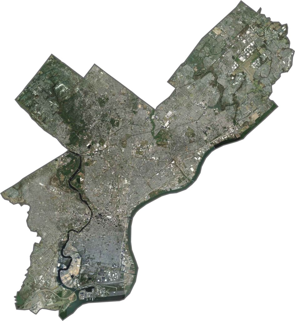
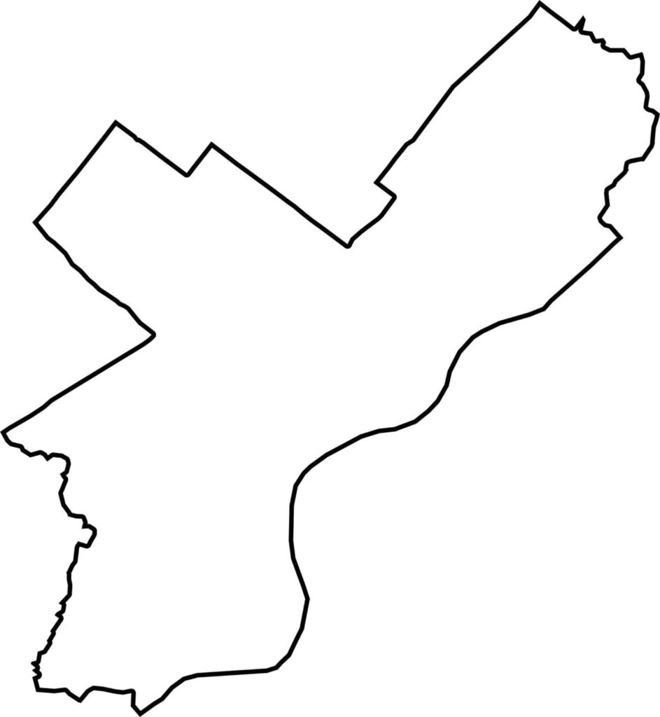
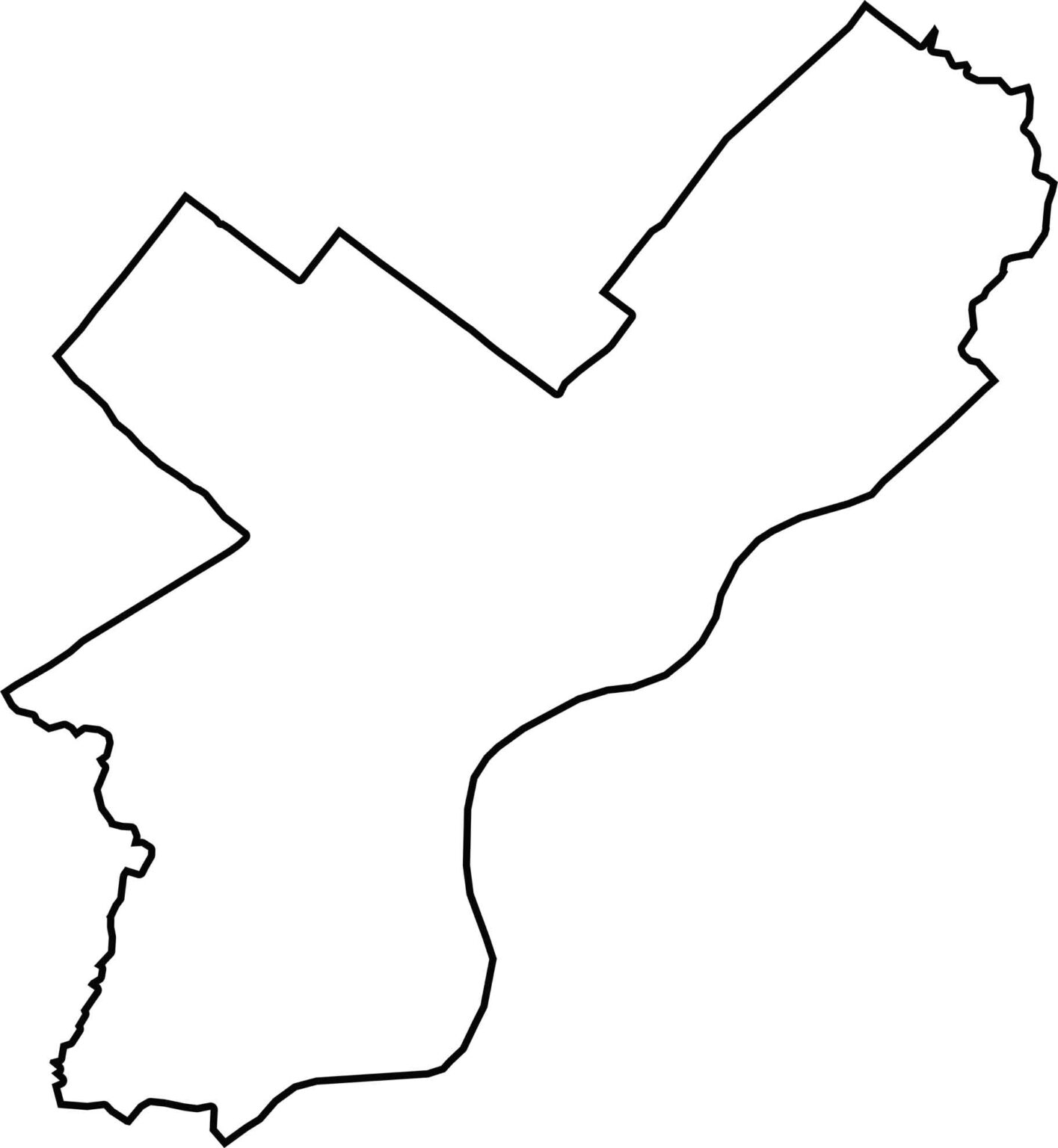
Philadelphia County is identical to the City of Philadelphia. Its eastern edge is the Delaware River, bordering New Jersey. The Schuylkill River cuts through the center, shaping some of the western border. The outline is jagged and urban, with every turn tied to history.








Pennsylvania's 67 counties take in the glow of the Steel City, quiet Amish country backroads, and escapes in the Pocono Mountains. Distances may differ from place to place, but the stories stay just as rich.