
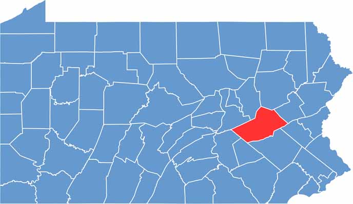
Coal mining shaped Schuylkill County's history. You'll find it in east-central Pennsylvania, where anthracite was once king. The Appalachian Mountains roll through the area.
Pottsville, the county seat, is home to America's oldest brewery. Yuengling has been making beer here since 1829, with tours and tastings that showcase the brewery's long history.
Fall foliage draws leaf-peepers to the region, and the Pioneer Tunnel Coal Mine offers tours for the curious. Locals are proud of their heritage in Schuylkill County.
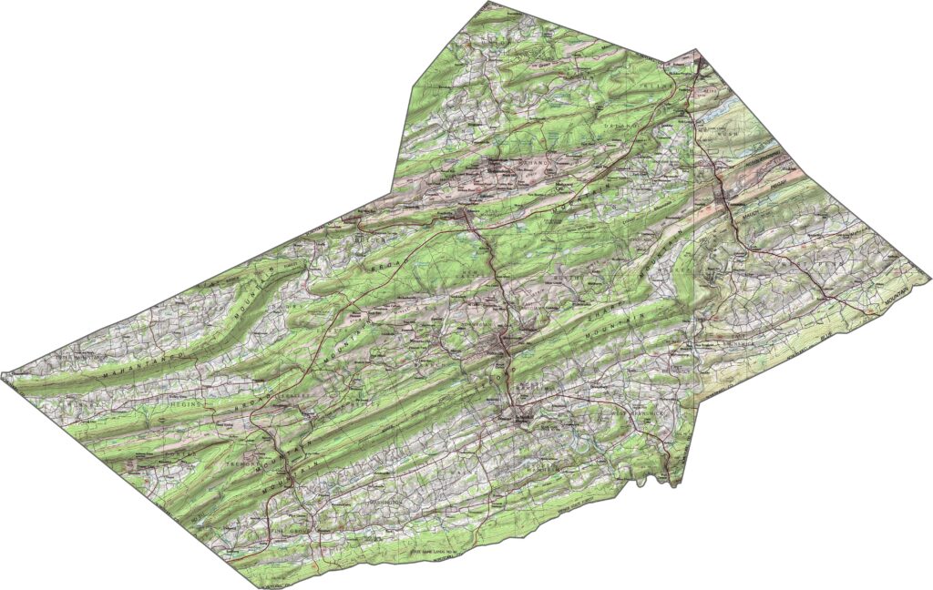
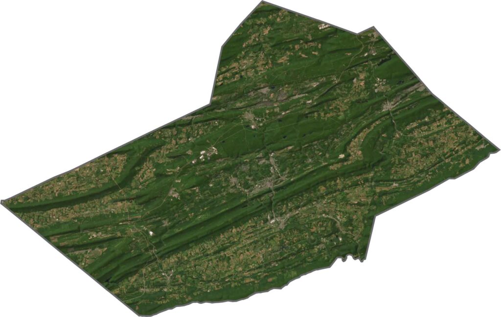
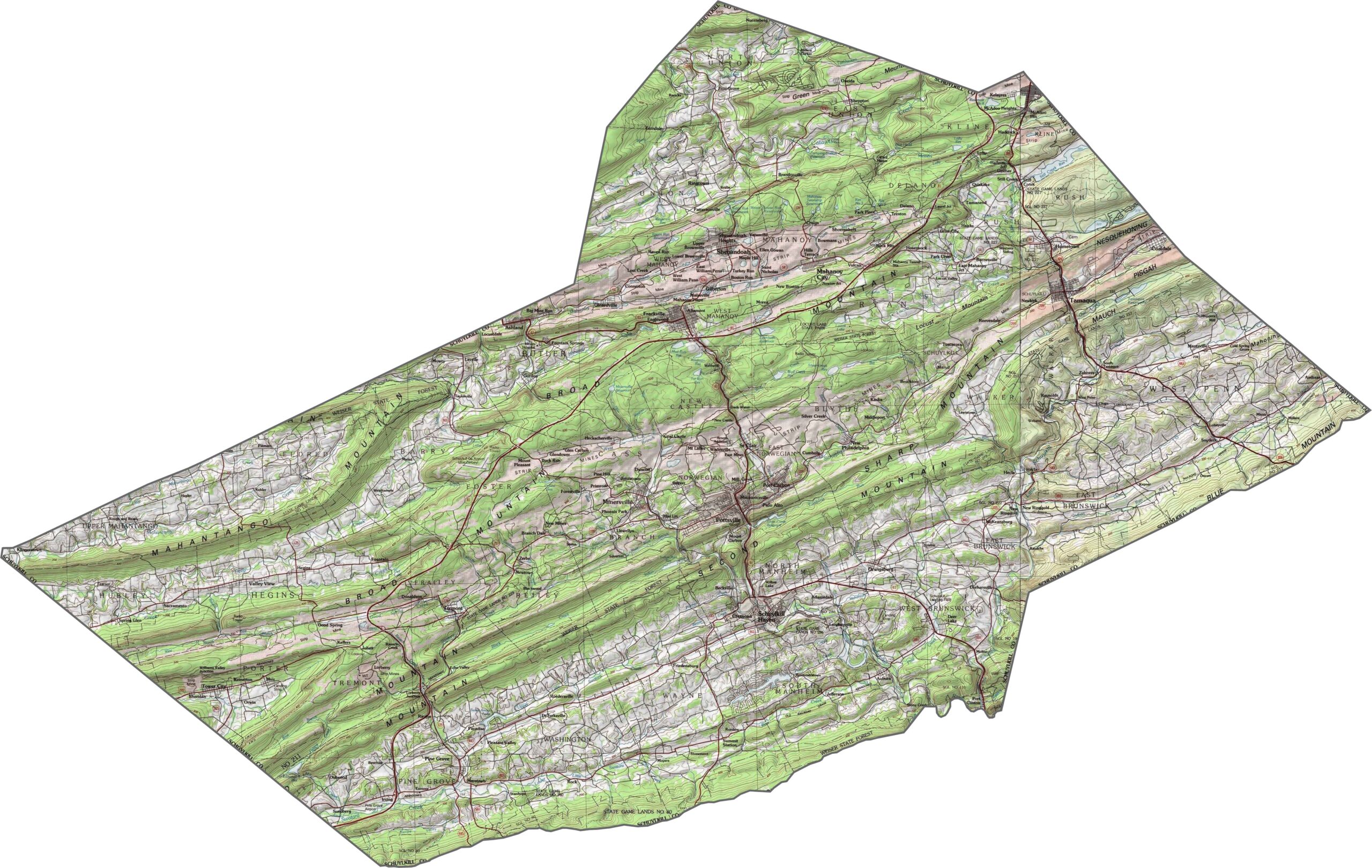
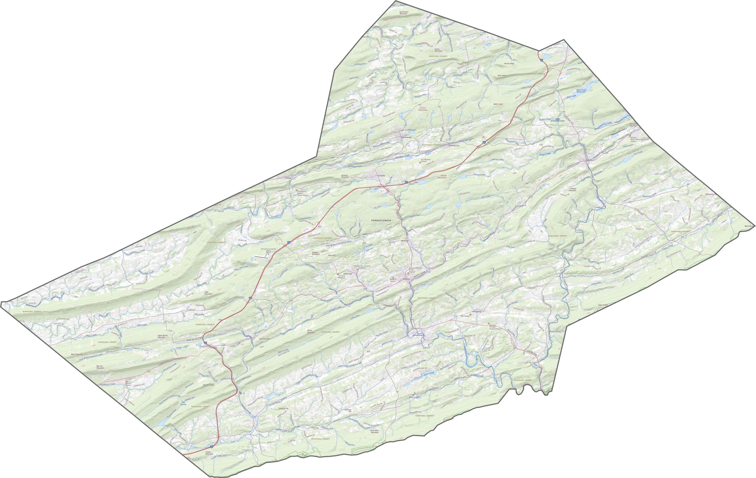
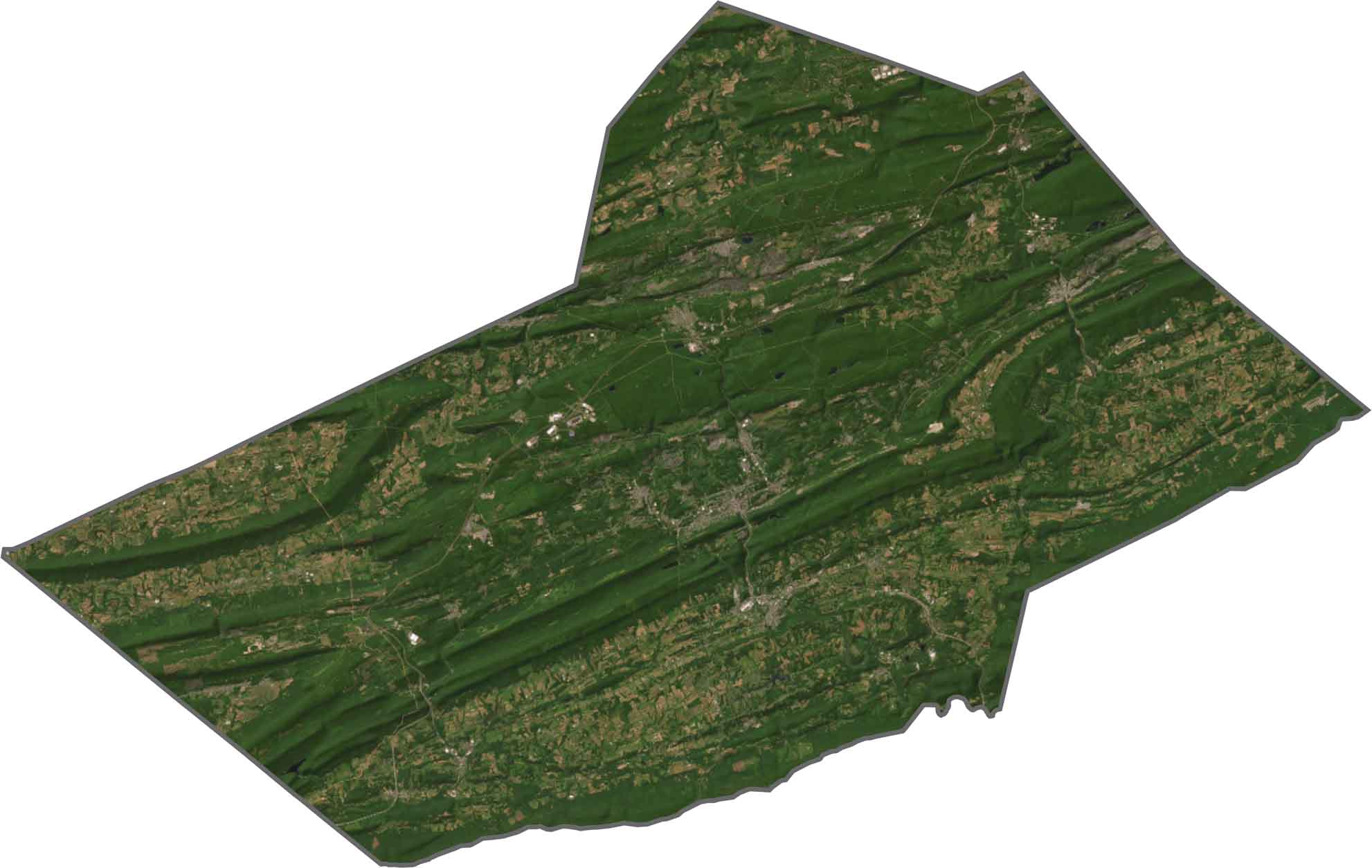
Schuylkill County is pure Ridge and Valley terrain. Long, steep ridges run side by side with deep, narrow valleys. Elevation shifts fast, especially in the north and west. To follow the twists and turns yourself, use our zoom tool below.
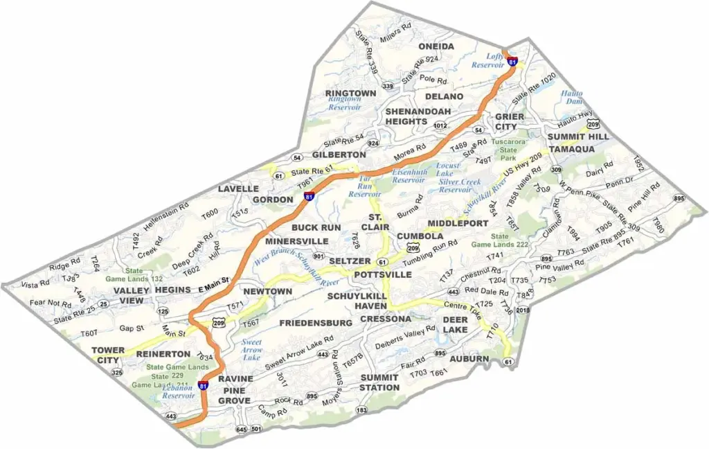
Schuylkill County's road system goes through hills, coal towns, and forested valleys. The main highway here is Interstate 81. Some roads cut cleanly across the terrain, but many follow winding routes carved by rivers or railroads.
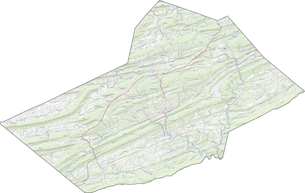
From above, alternating stripes of forested ridges and open valleys stand out clearly. Towns cluster in the flatter zones, while the ridges remain heavily wooded.
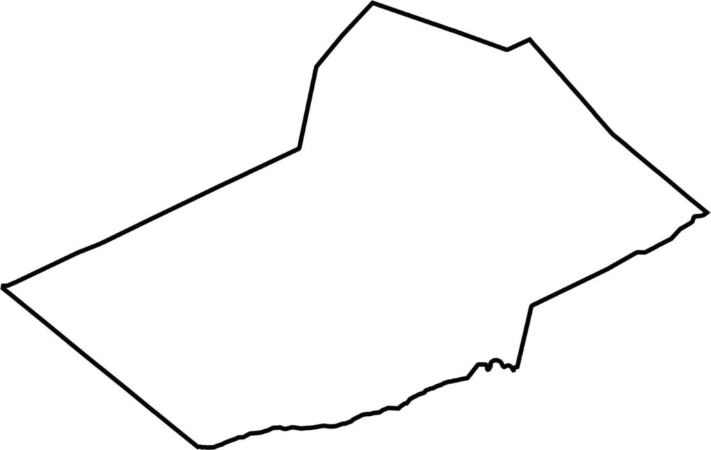
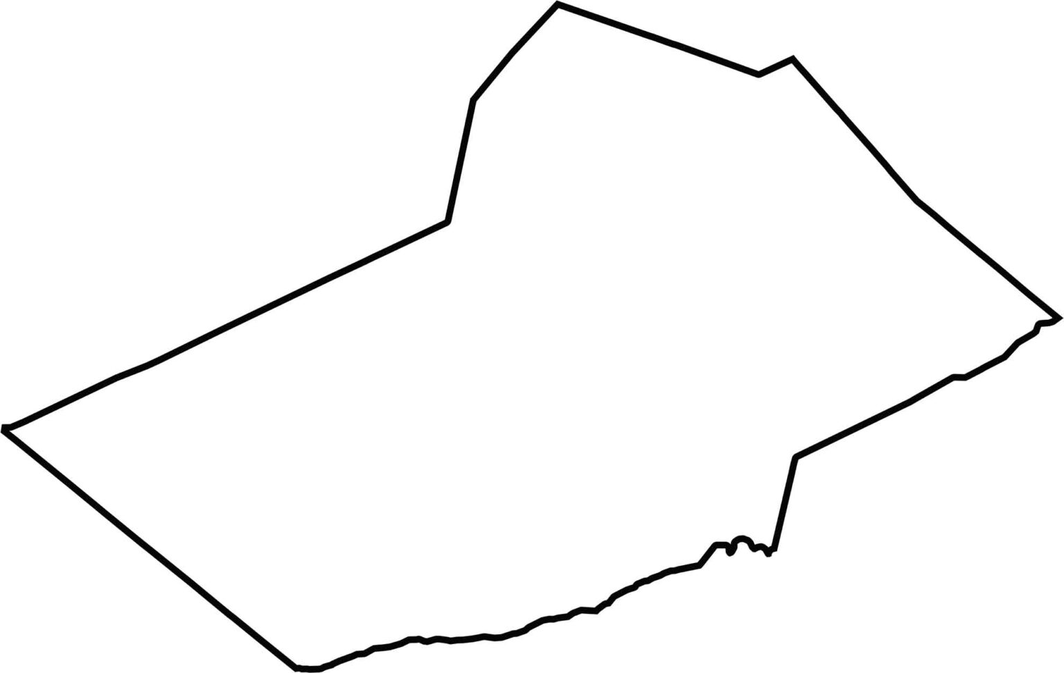
Schuylkill County has a long, narrow shape, wider at the top and tapering south. Its edges follow mountain ridgelines rather than rivers. Located in eastern Pennsylvania, Schuylkill County doesn't border another state.








Pennsylvania's 67 counties take in the glow of the Steel City, quiet Amish country backroads, and escapes in the Pocono Mountains. Distances may differ from place to place, but the stories stay just as rich.