
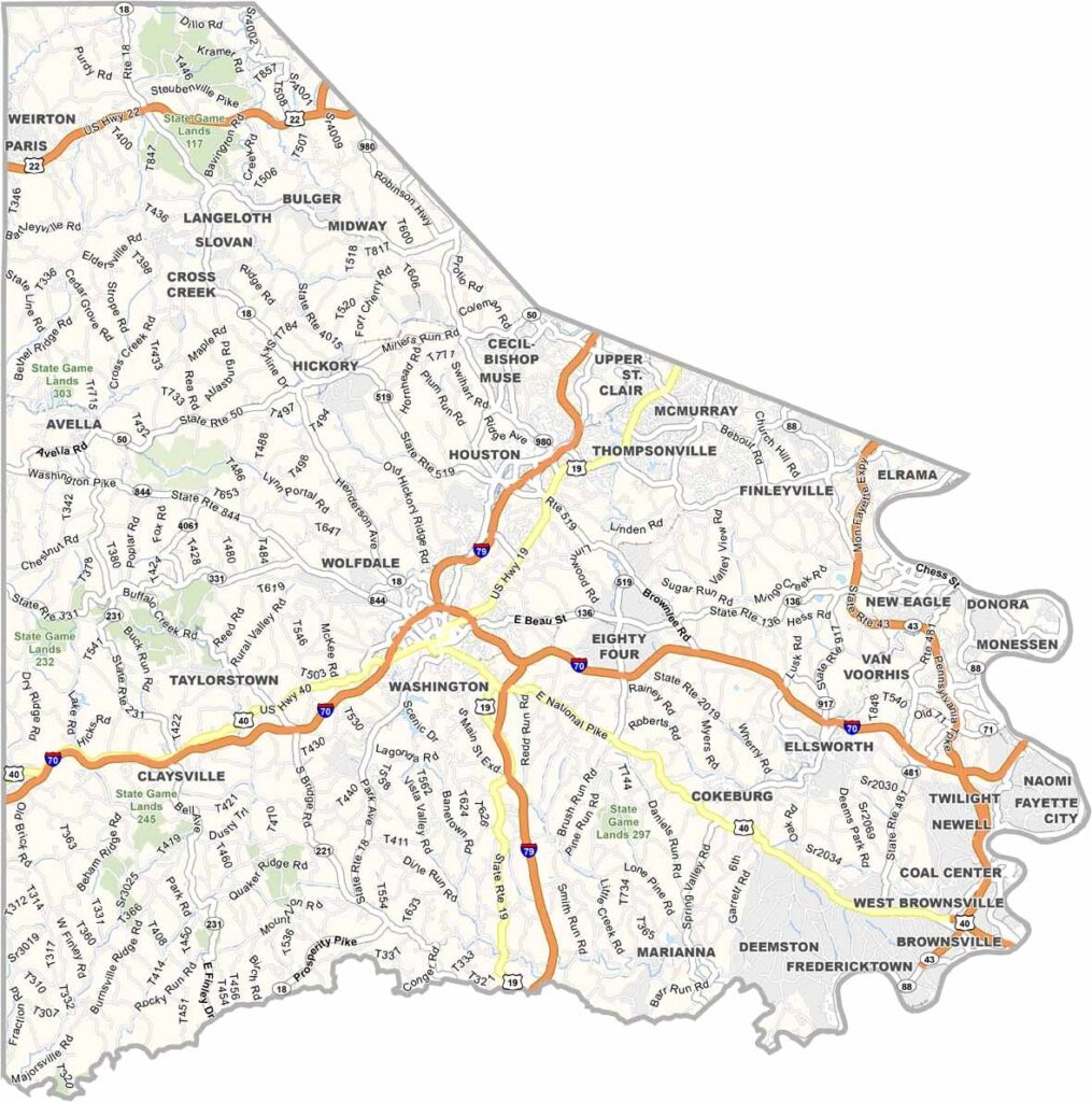
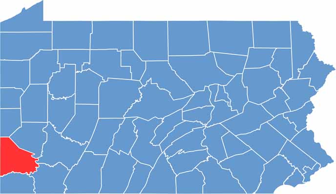
Washington County is situated just south of Pittsburgh, bordering West Virginia. It has a bit of everything: farmland, suburbs, and some decent-sized towns. The Monongahela River forms its eastern border.
Oil and gas are big business here, and so is gambling, with the Meadows Racetrack and Casino drawing crowds. Washington & Jefferson College adds a college-town vibe to the county seat.
There's a lot of history too. The Whiskey Rebellion started here back in the 1790s. The county is crisscrossed by major highways, but you can still find some quiet corners. It's a place where old and new Pennsylvania meet.
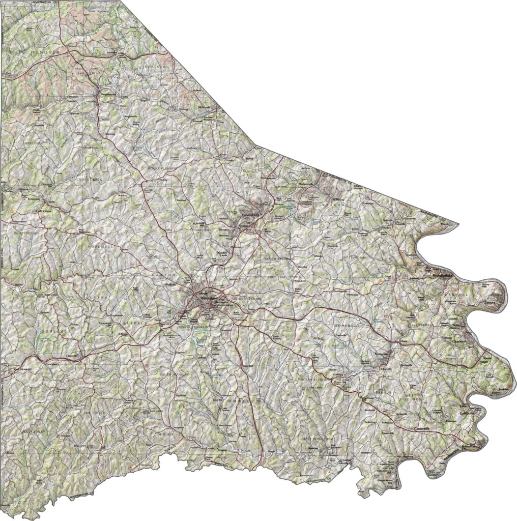
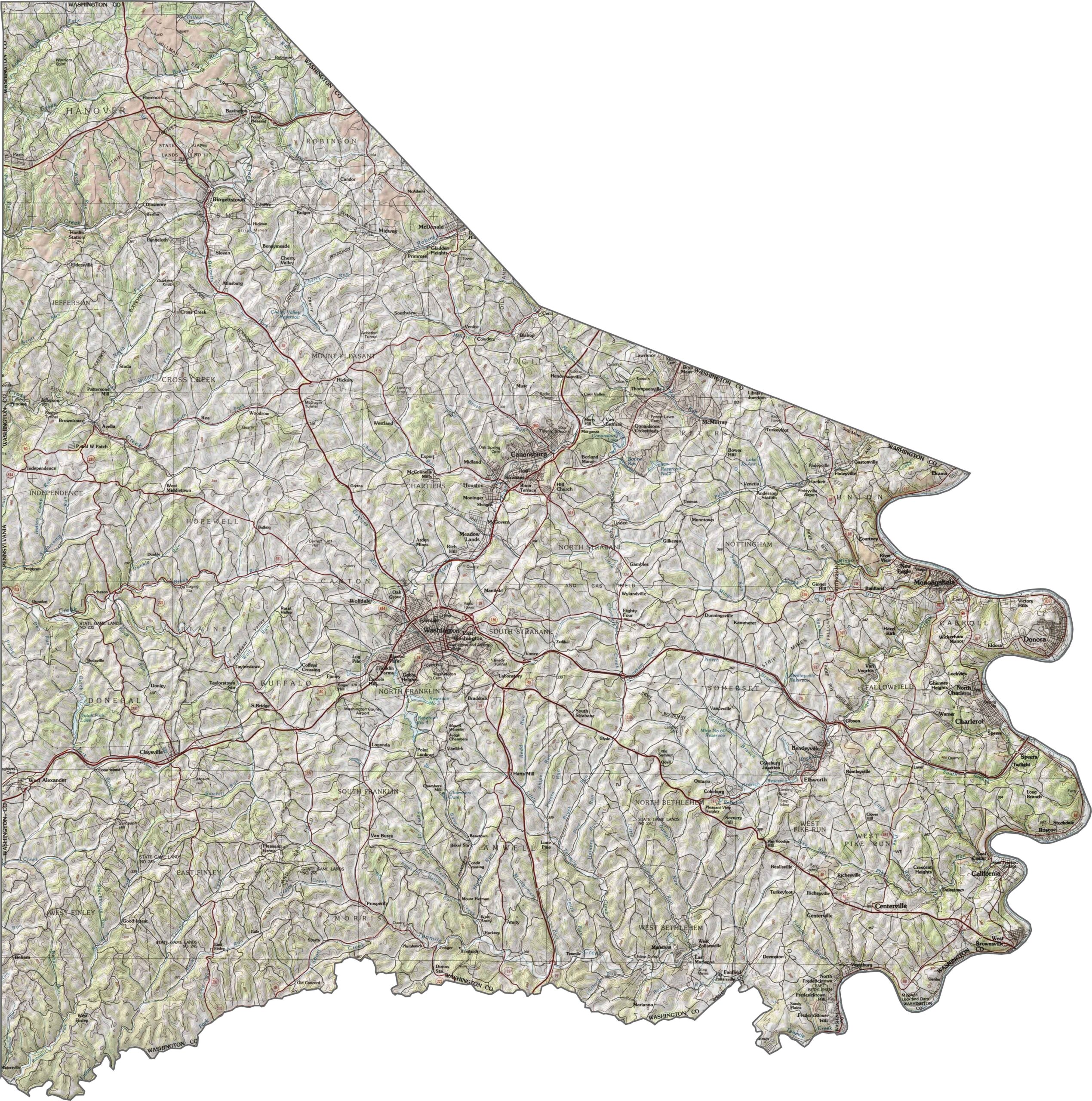
Washington County is a land of rolling hills, valleys, and twisting creeks. Elevation rises and falls in every direction, with no flat stretches large enough to ignore. The terrain shapes both development and travel.
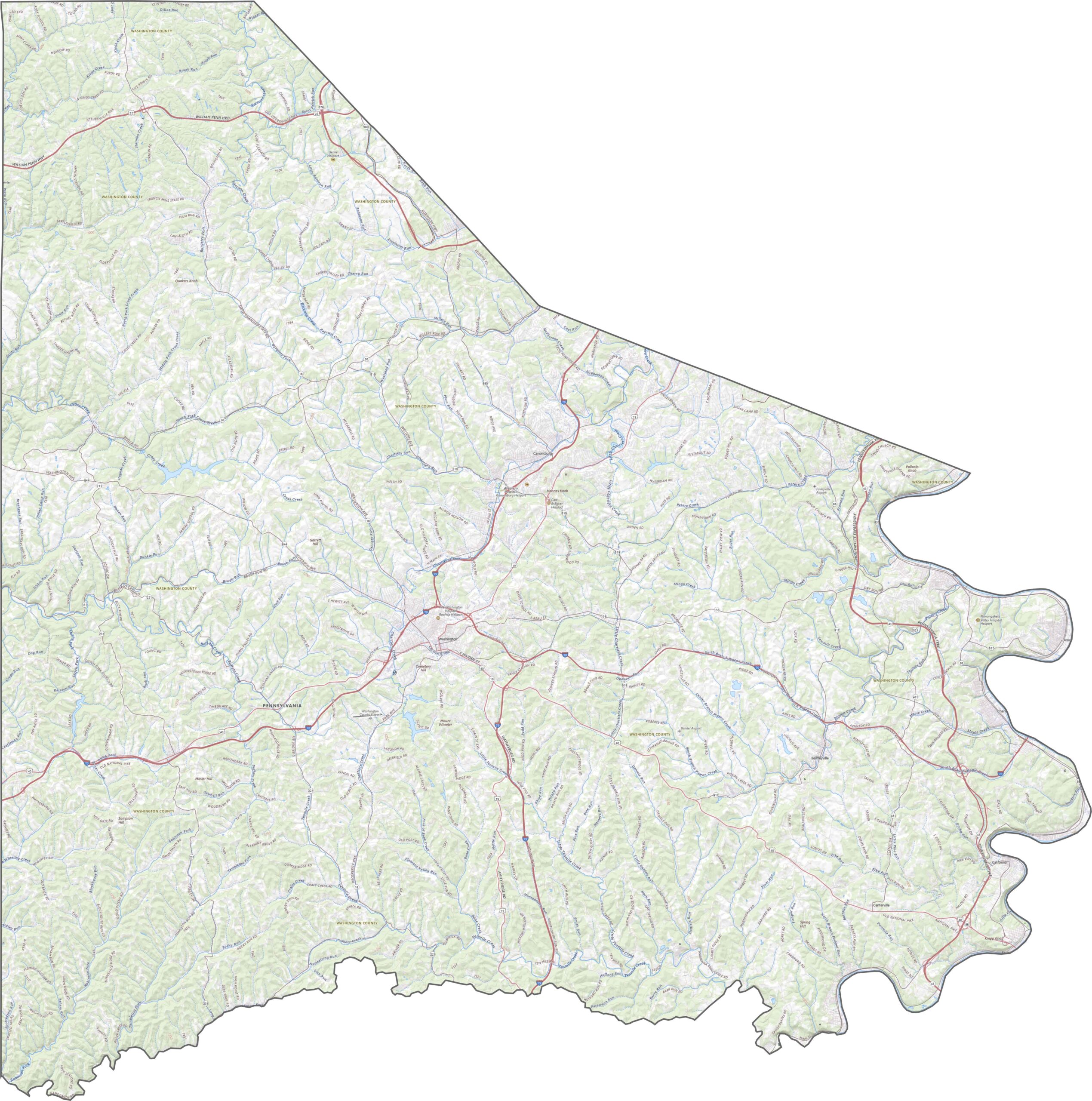
The highway grid here works around the hills instead of through them. Though it sits just outside Pittsburgh, many areas feel surprisingly rural. Roads are practical, but not always direct. Our zoom tool in our road map below lays it all out so you can follow the curves.
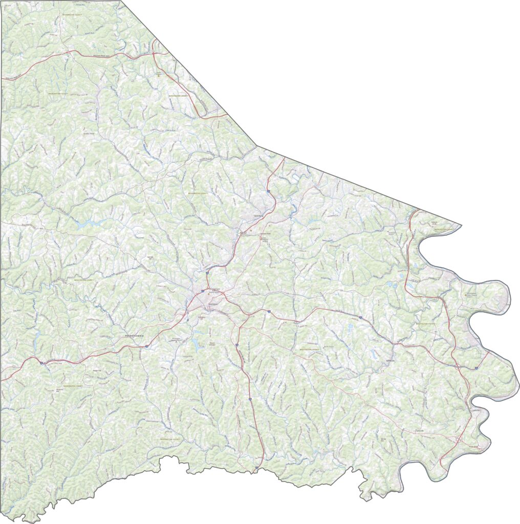
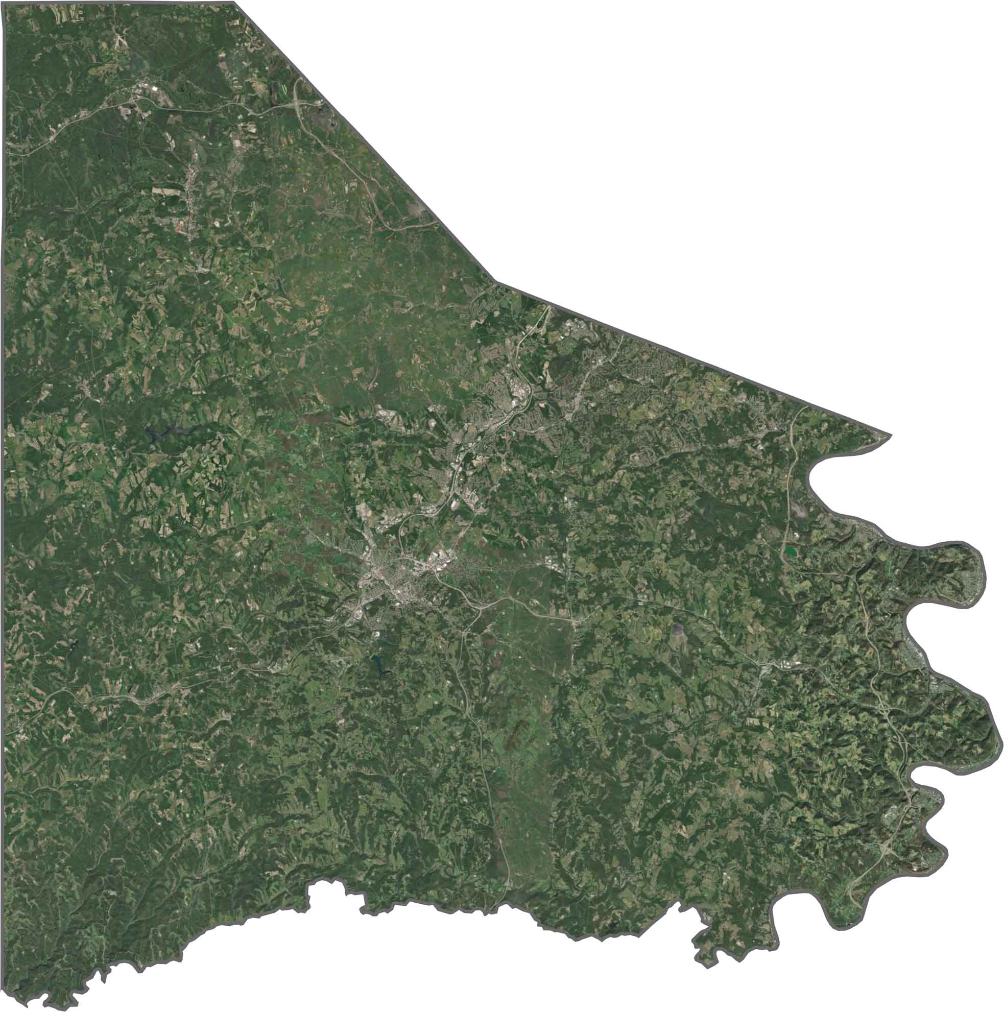
In our Washington County map, you'll see winding roads, scattered farms, and tree-covered hills. Small towns sit in valleys with Washington in the center. Forests mix with pastureland.
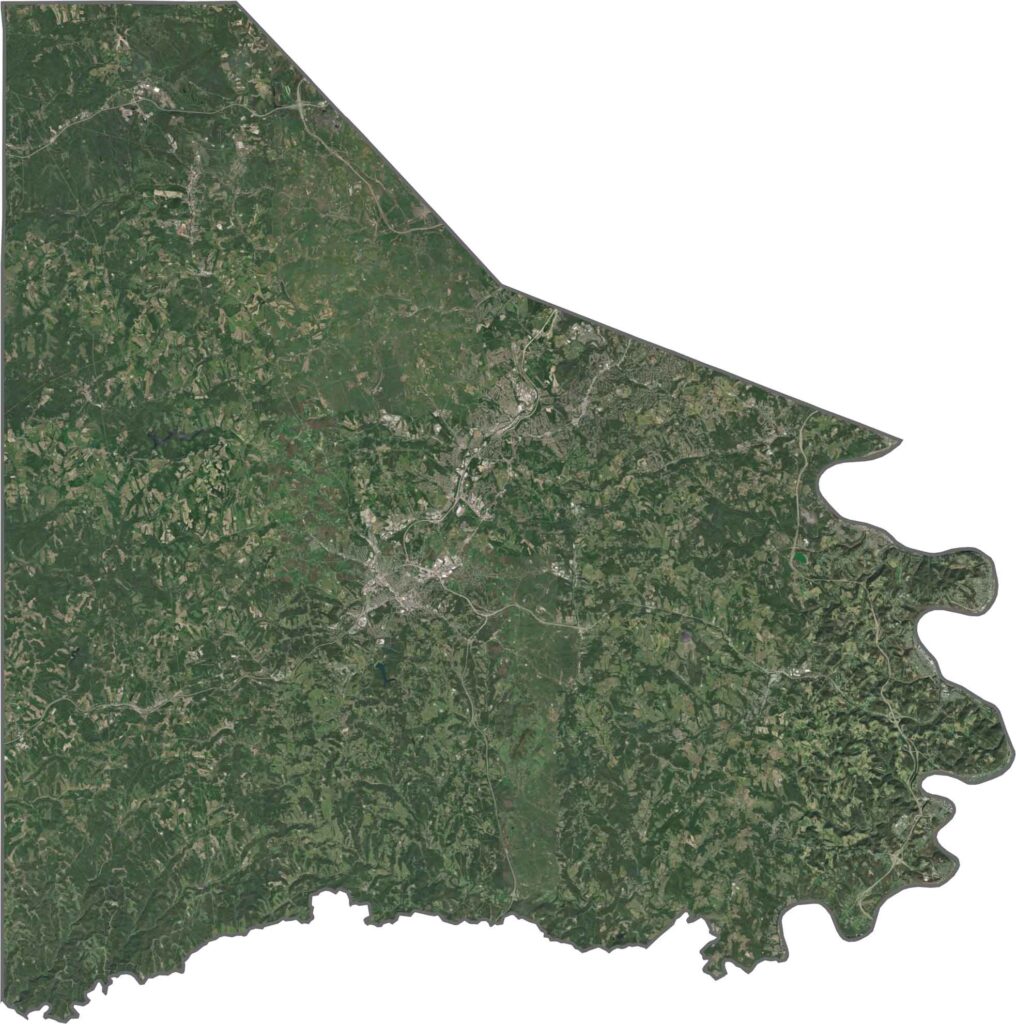
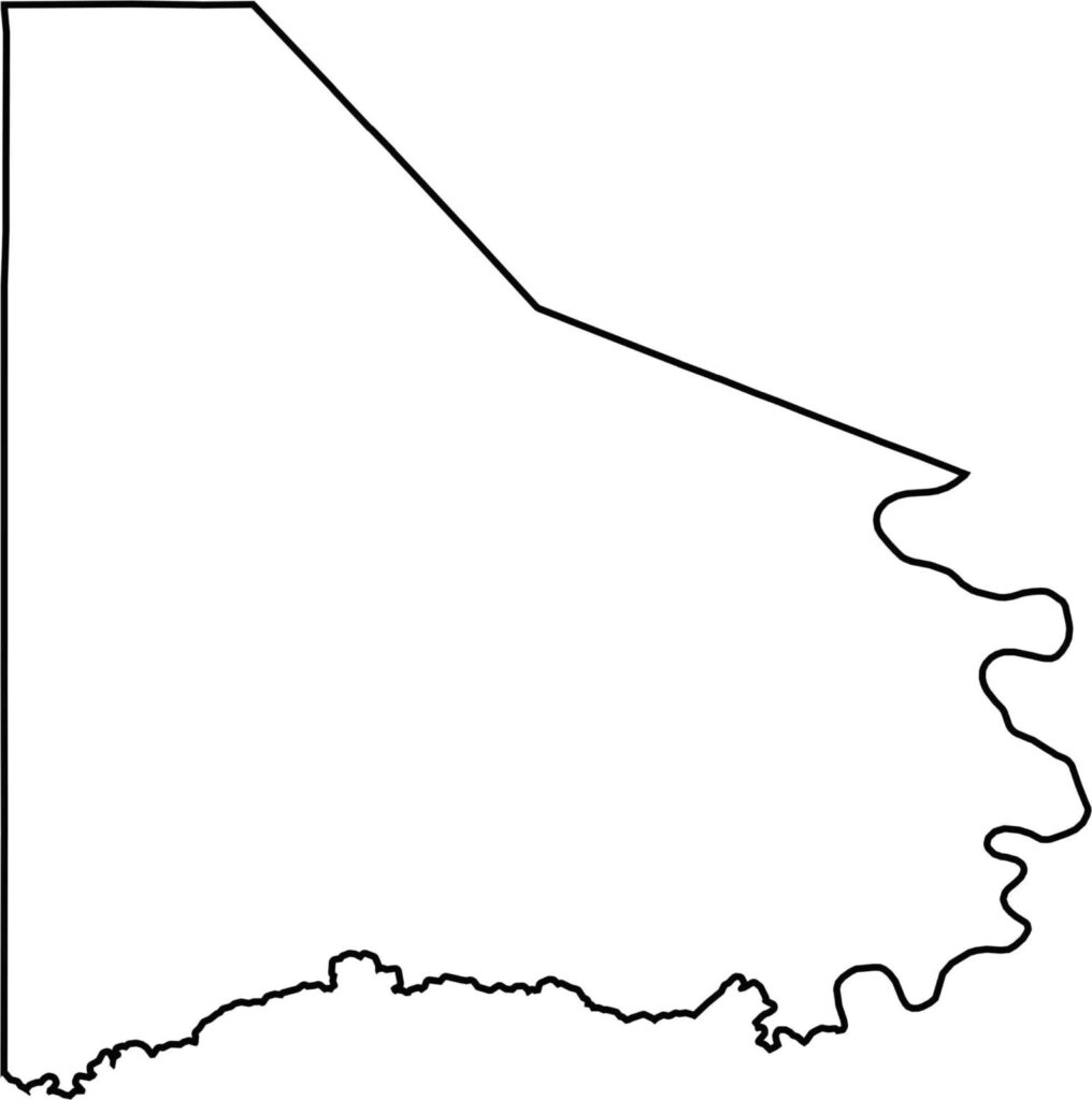
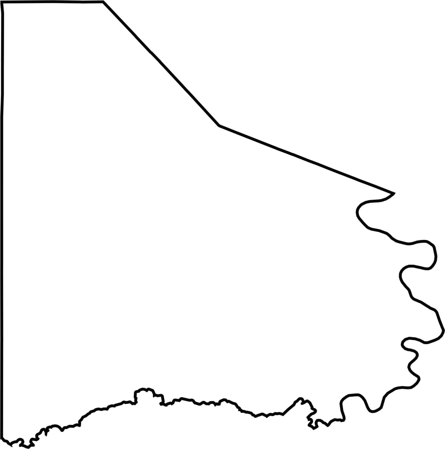
Washington County widens at the bottom and thins out at the top. It borders West Virginia to the southwest. The Monongahela River forms the eastern boundary.








Pennsylvania's 67 counties take in the glow of the Steel City, quiet Amish country backroads, and escapes in the Pocono Mountains. Distances may differ from place to place, but the stories stay just as rich.