
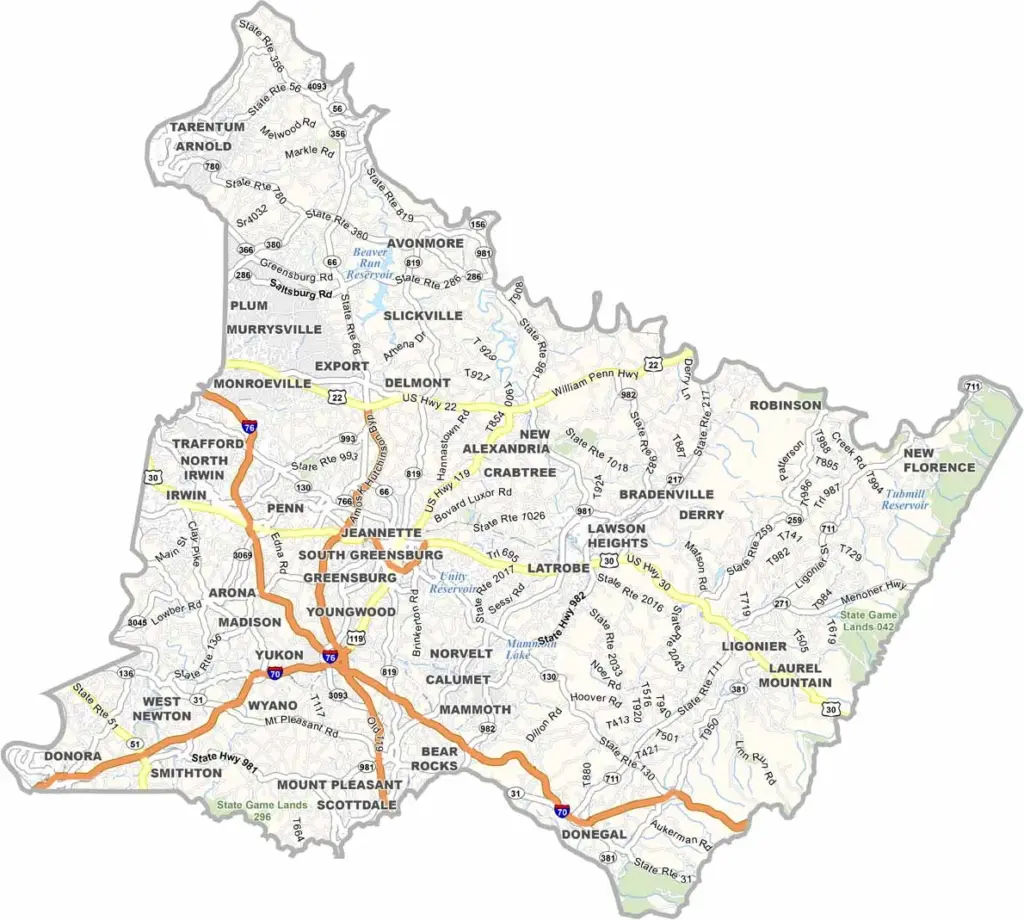
Westmoreland County sits just east of Pittsburgh in southwestern Pennsylvania. It is a large county, ranking as the second largest in Western Pennsylvania by area.
The land combines rolling hills with river valleys, and the area is rich in history. Fort Ligonier was a key site during the French and Indian War. Today the county is defined more by industry and suburban communities.
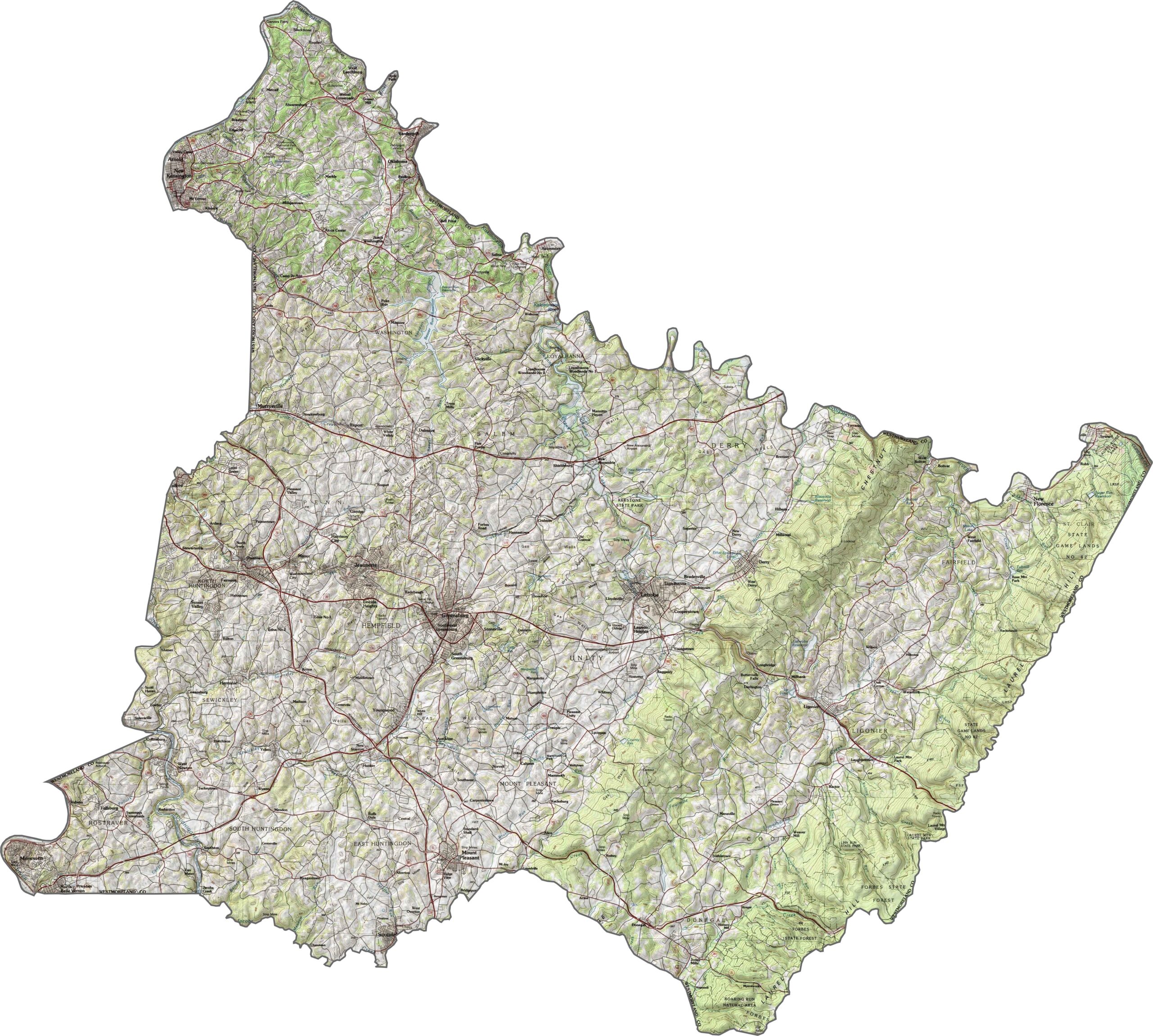
Greensburg is the county seat, and the original Pennsylvania Turnpike passes straight through the county. Parks such as Laurel Ridge State Park provide plenty of green space. The golf legend Arnold Palmer grew up in Latrobe. Overall, the county offers a healthy balance of town and country living.
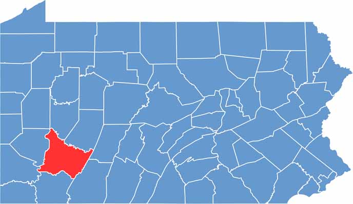
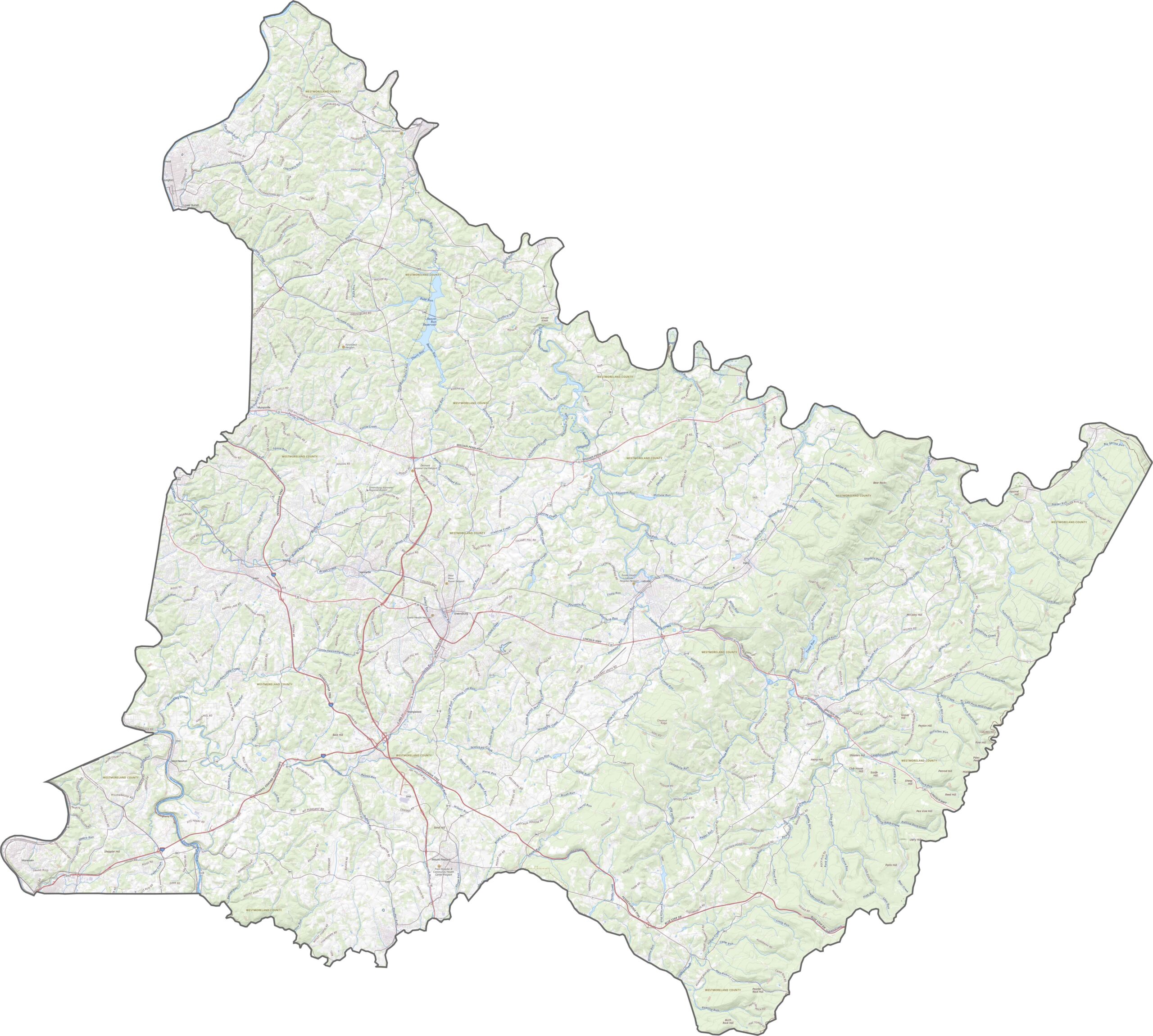
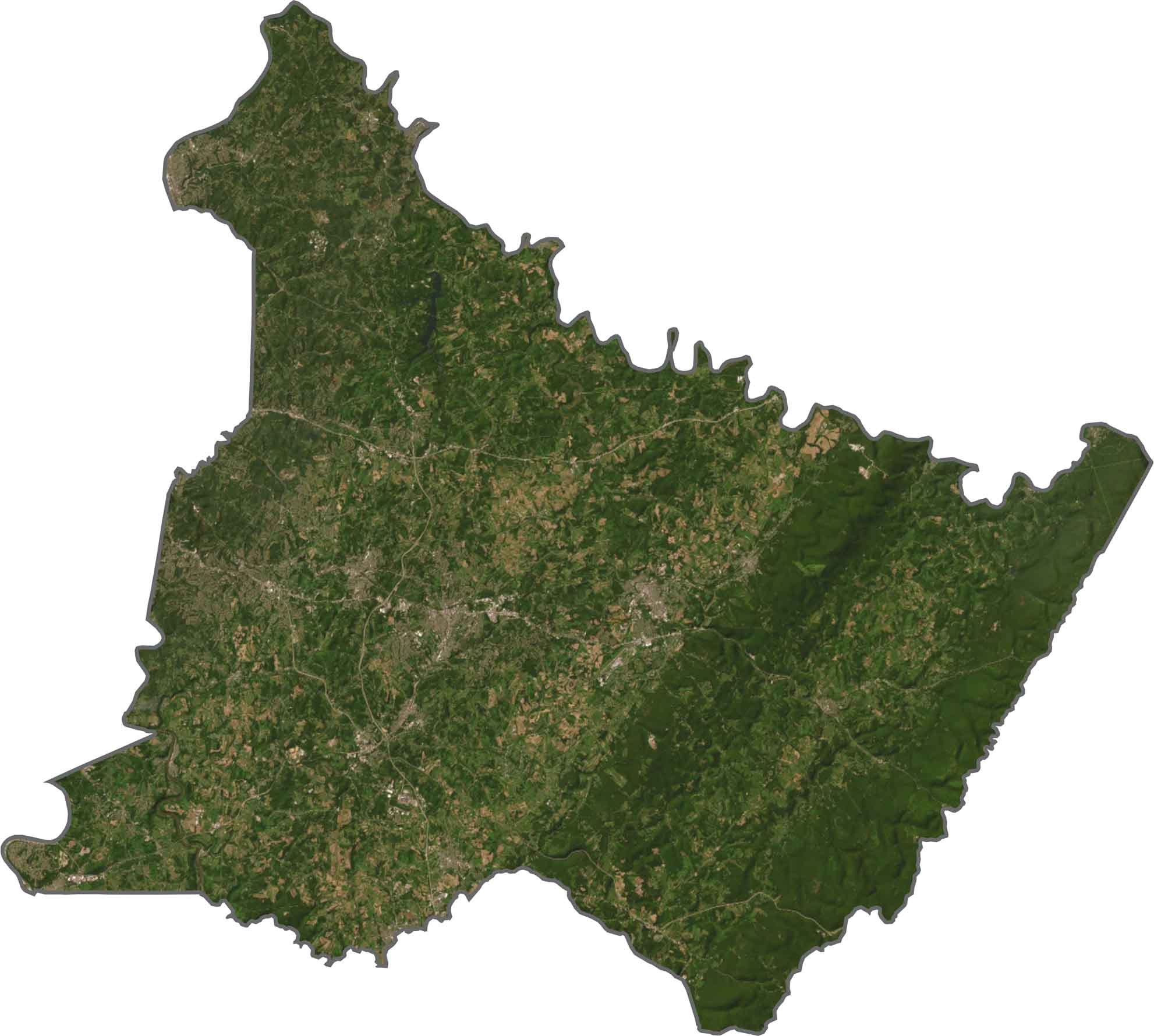
This is classic western Pennsylvania terrain. Westmoreland County features ridges, valleys, and rolling land that rises steadily from the west toward the Laurel Highlands in the east. Streams cut through steep gorges, and broad ridgelines shape the horizon.
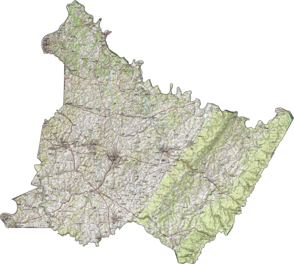
Some roads in Westmoreland County run arrow-straight, while others wind along with the hills. Many of them climb and dip with the terrain. To see where they all lead, our zoom tool below is the best starting point.
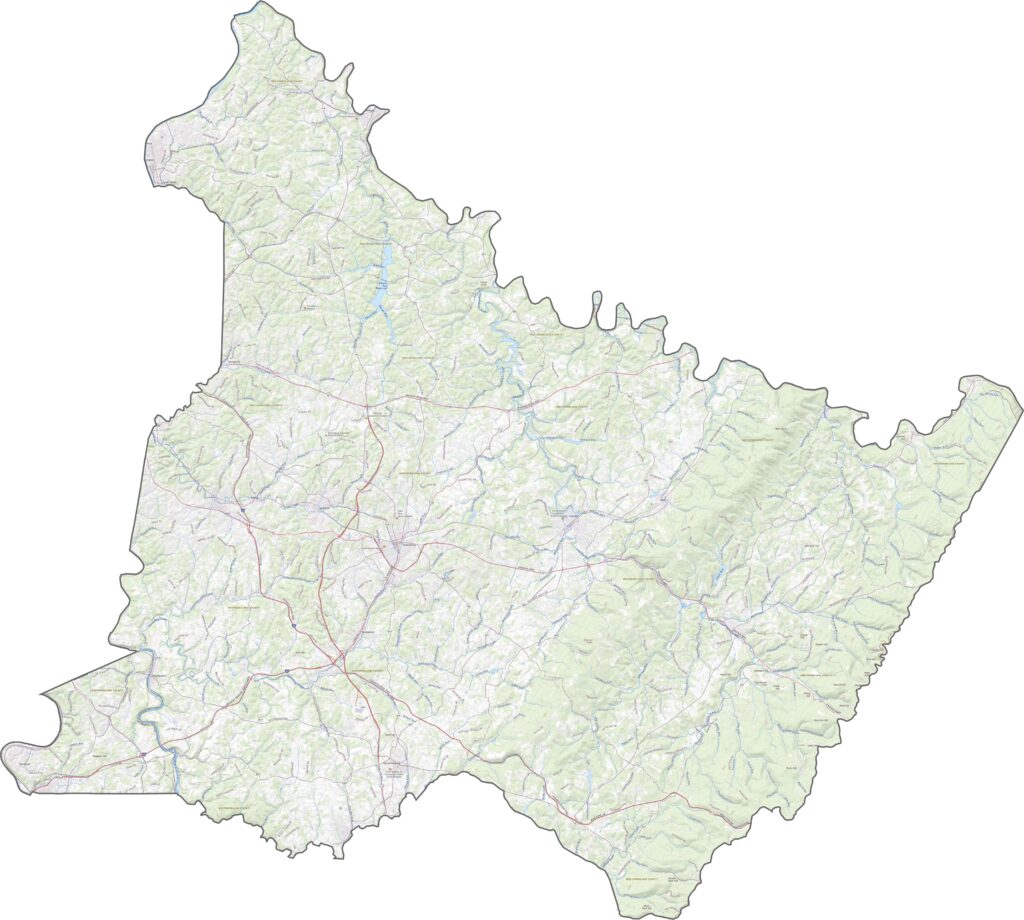
Westmoreland County blends forest, farmland, and development. Suburban sprawl shows up in the west, while the east stays rugged and green. Roads wind over the hills, tying older towns to newer developments.
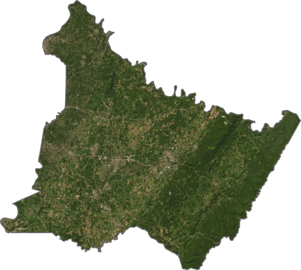
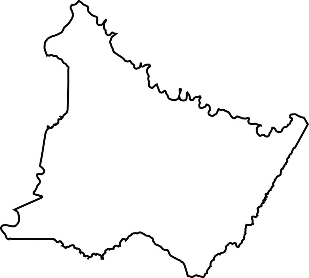
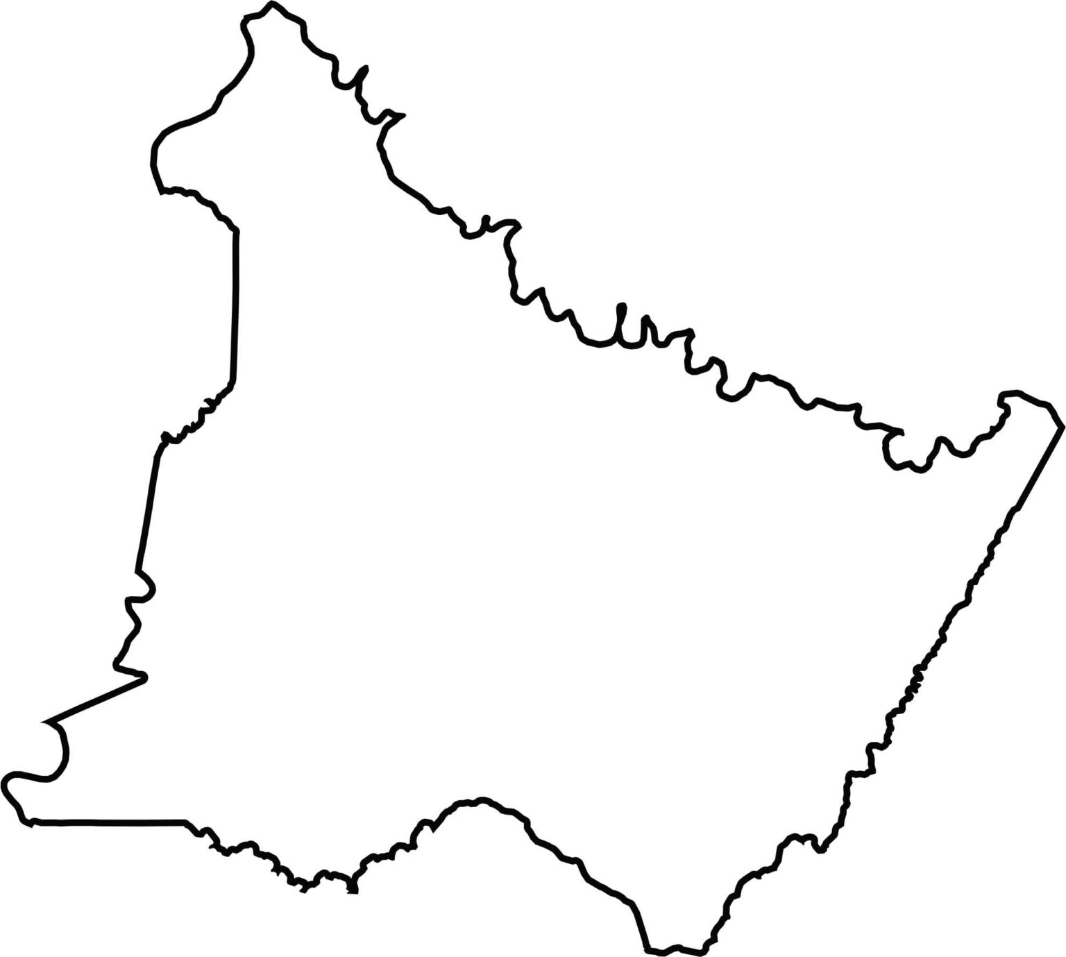
Westmoreland County has an irregular, curving shape. The Conemaugh River forms the northern boundary, and Jacobs Creek makes up part of the southern boundary. Located in southwestern Pennsylvania, the county does not border any other state.








Pennsylvania's 67 counties take in the glow of the Steel City, quiet Amish country backroads, and escapes in the Pocono Mountains. Distances may differ from place to place, but the stories stay just as rich.