
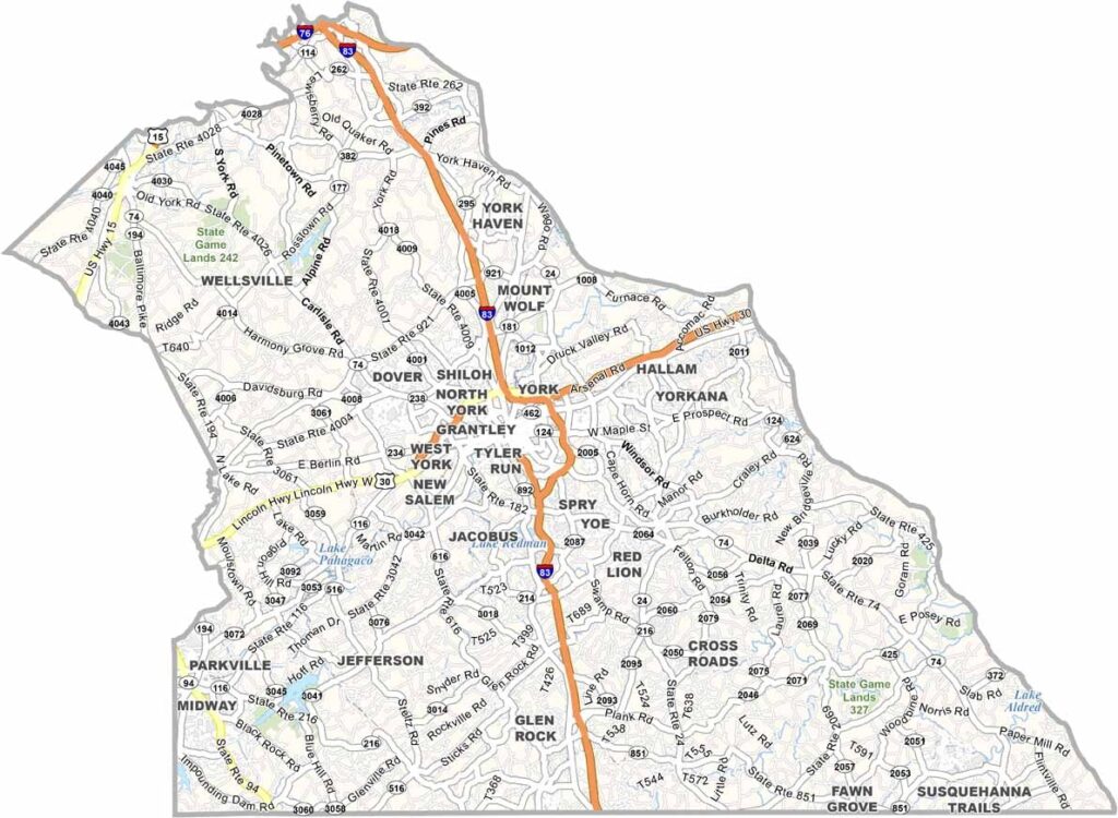
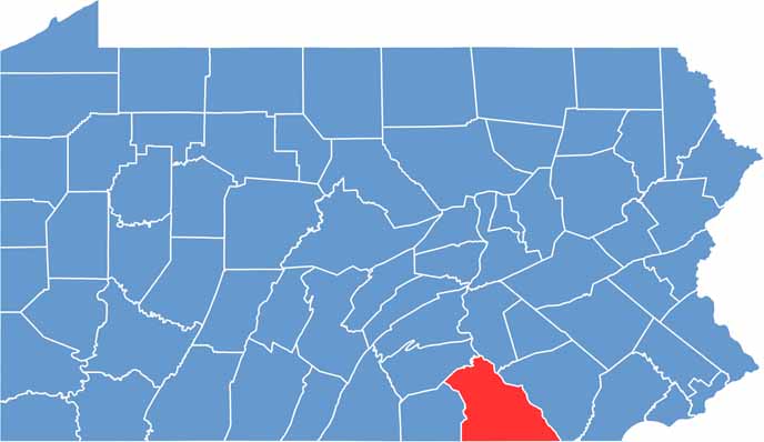
York County lies in south-central Pennsylvania, bordering Maryland. History lovers are drawn to the area because the Continental Congress met here during the Revolutionary War.
The county today combines urban and rural life. York is the largest city and the county seat, with plenty of attractions and activities. The county also hosts the York Fair, one of the oldest fairs in the country.
Visitors wanting more history can head to nearby Gettysburg. The Susquehanna River runs along the eastern boundary and offers many outdoor pursuits. Manufacturing is still a strong part of the local economy, and Harley-Davidson has a plant in York. Productive farmland rounds out a county with deep roots and a bright future.
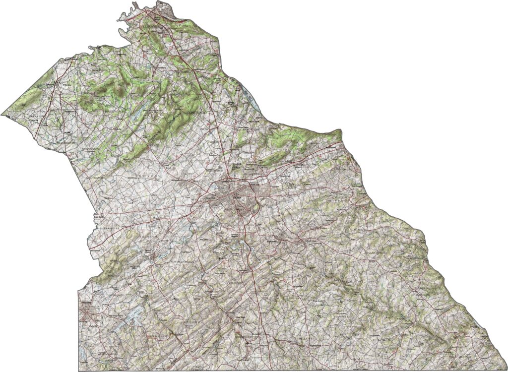
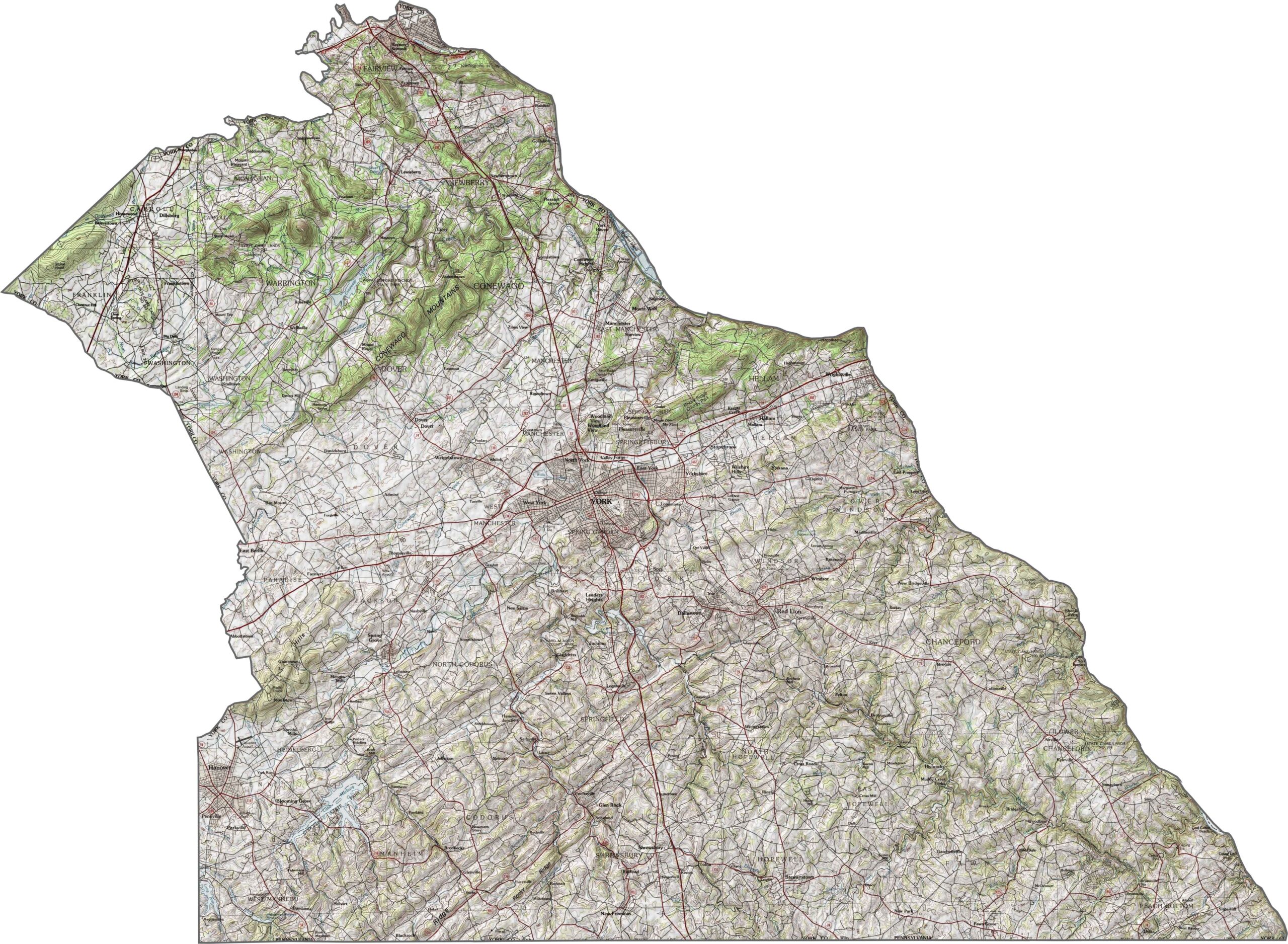
York County has gently rolling terrain without abrupt changes in elevation. The hills climb gradually, and wide valleys extend through the central part of the county. Along the southern edge, the land slips into the Piedmont region, where the slopes grow somewhat more pronounced.
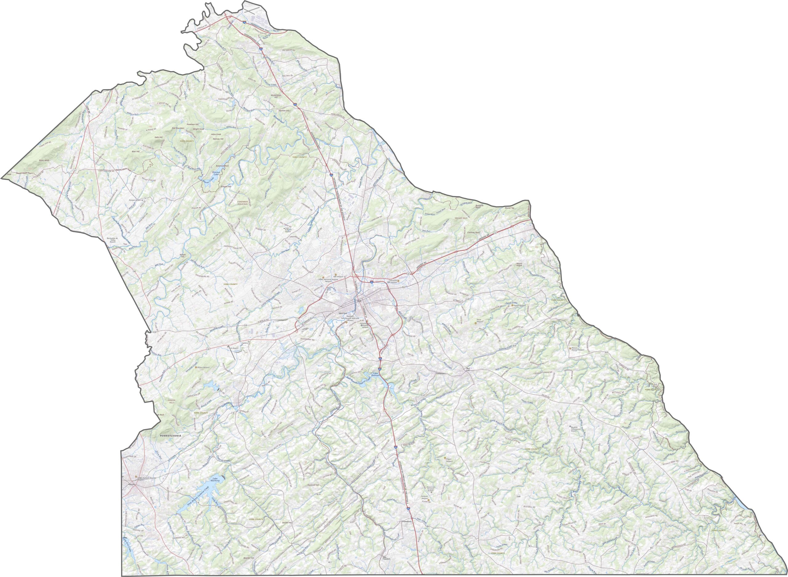
York County has a solid road network that combines quiet rural routes with busy commuter corridors. I-83 is a major highway running north to south. Farmland dominates the landscape, yet roads reach nearly everywhere. Use our zoom tool to explore the map in more detail.
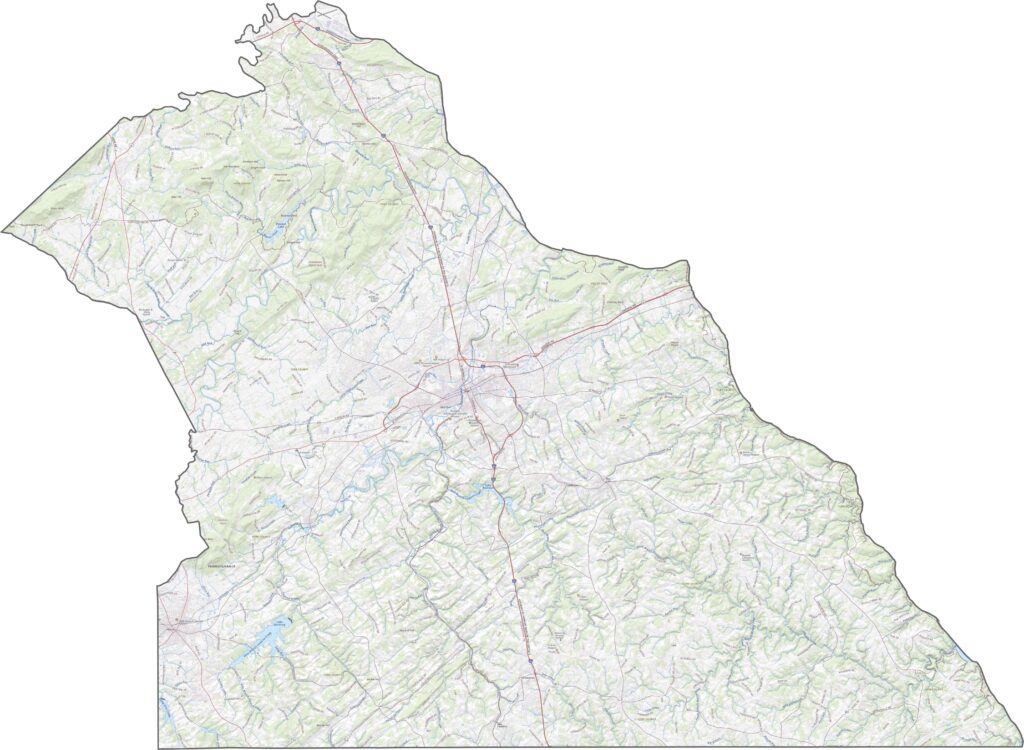
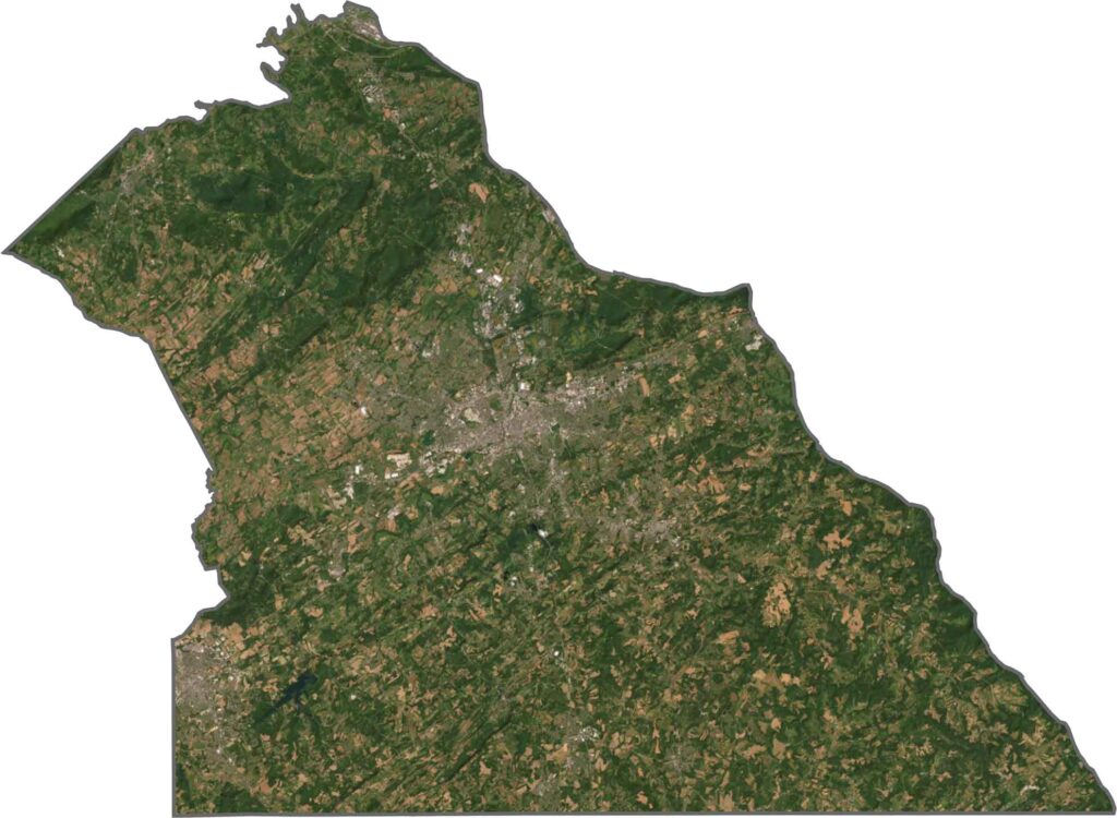
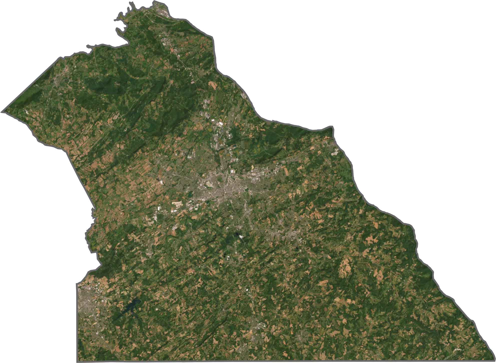
Farm fields cover most of our satellite view of York County. The city of York shows up as a dense gray center, ringed by smaller towns and industrial areas. Patches of forest interrupt the farmland, mostly around creeks and hilltops.
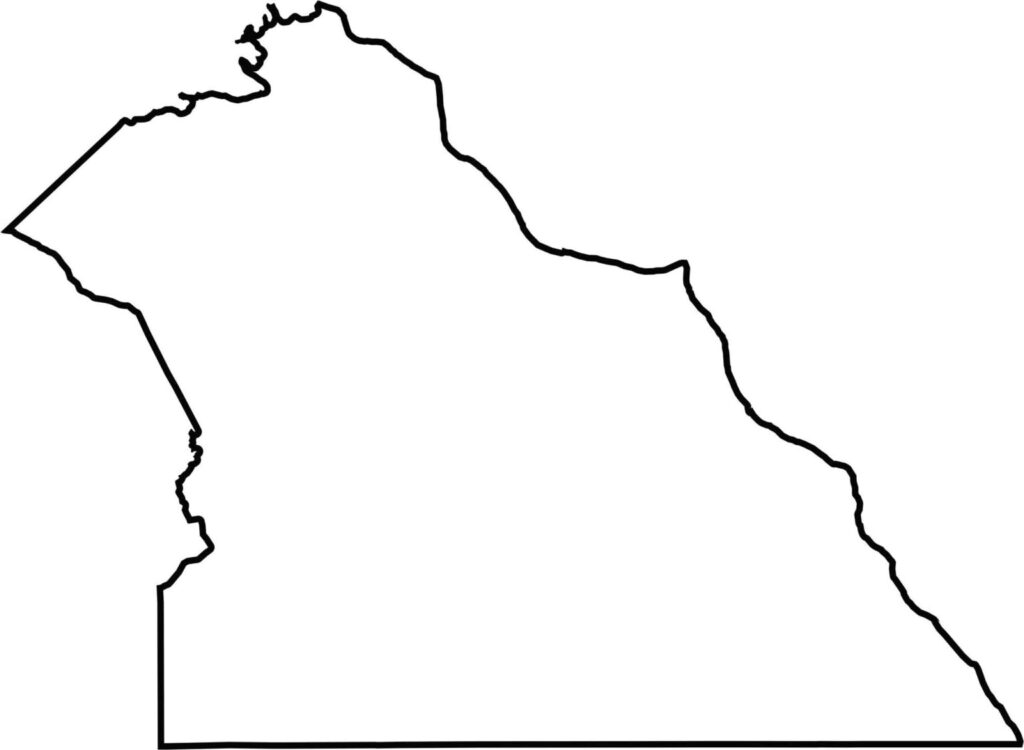
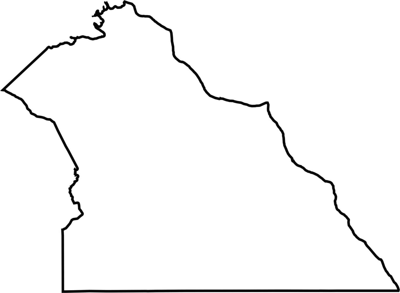
York County is shaped like a broad-based triangle angled toward the southeast. The Susquehanna River marks its eastern edge, while the southern border follows the line with Maryland. The outline is smooth, and its natural and political boundaries are easy to make out.








Pennsylvania's 67 counties take in the glow of the Steel City, quiet Amish country backroads, and escapes in the Pocono Mountains. Distances may differ from place to place, but the stories stay just as rich.