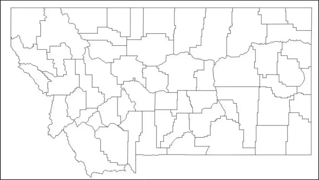
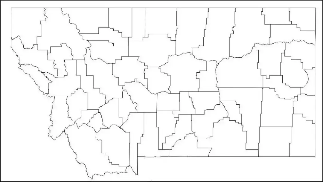
A free printable blank Montana county map is a useful educational resource that helps users explore the state’s geography. Montana’s diverse landscapes and unique features make it an interesting subject of study, and a blank map provides an ideal foundation for learning about its cities, counties, rivers, and mountain ranges.
From students completing classroom assignments to travelers planning itineraries and researchers visualizing geographic data, a blank Montana map is a versatile tool for a wide range of activities. Students can label key locations such as Billings, Missoula, Bozeman, and the Rocky Mountains to better understand the state’s east–west and north–south orientation and how its regions relate to one another.
Teachers often use blank maps in geography lessons, quizzes, and assignments to encourage hands-on learning and help students build strong map-reading skills. A Blank Montana Map is also useful for professionals, planners, and businesses for marking territories, identifying natural resources, or presenting regional information.With its vast landscapes of plains, forests, and iconic areas like Yellowstone National Park, Montana is especially well suited for map-based study. Whether in printed or digital form, a Blank Montana Map is a valuable tool for anyone interested in exploring the geography and natural features of the Treasure State.
Montana is a state in the northwestern United States known for its vast plains, mountain ranges, wilderness areas, and historic sites. Its geography is highly diverse, ranging from the Rocky Mountains to the Great Plains, and it is home to famous national parks such as Yellowstone and Glacier. Helena serves as the state capital, while Billings is the largest city.
Montana is known for its natural outdoor beauty and offers abundant opportunities for hiking, fishing, and wildlife viewing. It is one of the least densely populated states in the U.S., making it feel spacious and open. The state also has a rich cultural heritage shaped by Native American history, as well as cowboy and frontier traditions.
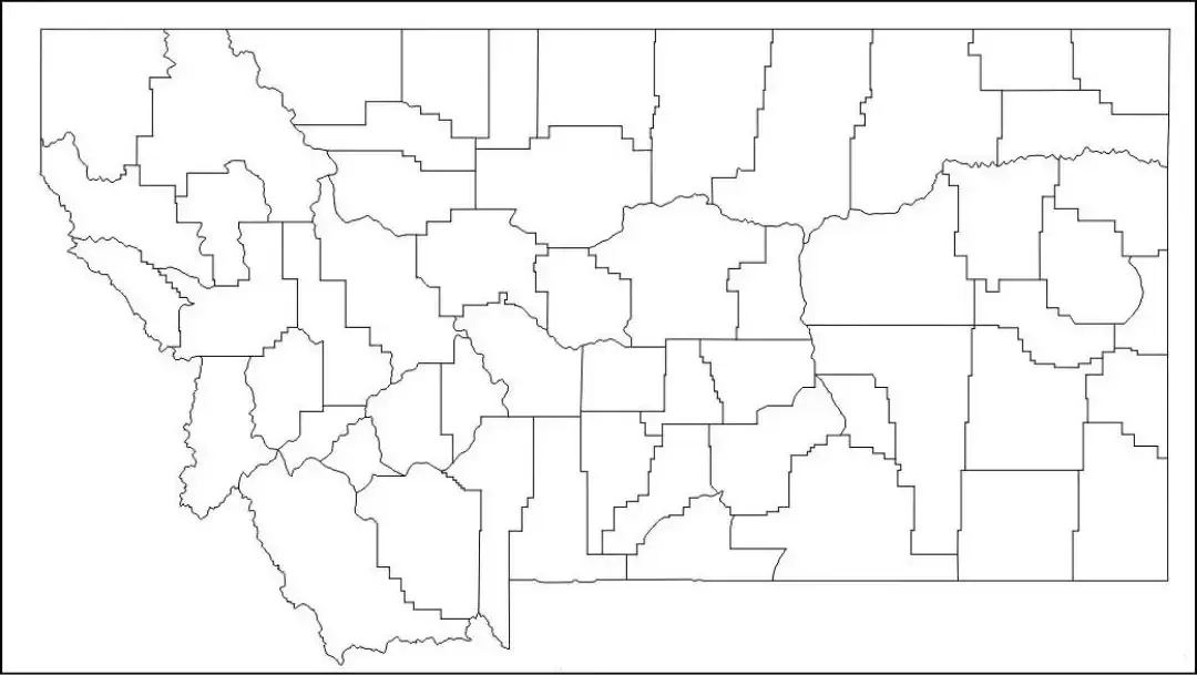
The Montana map worksheet is a useful educational tool that helps students learn about the state’s geography and physical features. These worksheets usually include blank or partially labeled maps where learners can identify important locations such as Billings and Missoula, along with major features like the Rocky Mountains and key waterways including the Missouri and Yellowstone Rivers.
Teachers use a Montana map worksheet to reinforce lessons in map-reading skills, physical regions, and key landmarks. It is ideal for classroom activities, quizzes, and assignments, helping students explore the state’s diverse landscapes in an engaging way. This interactive approach makes learning about Montana’s geography both enjoyable and educational.
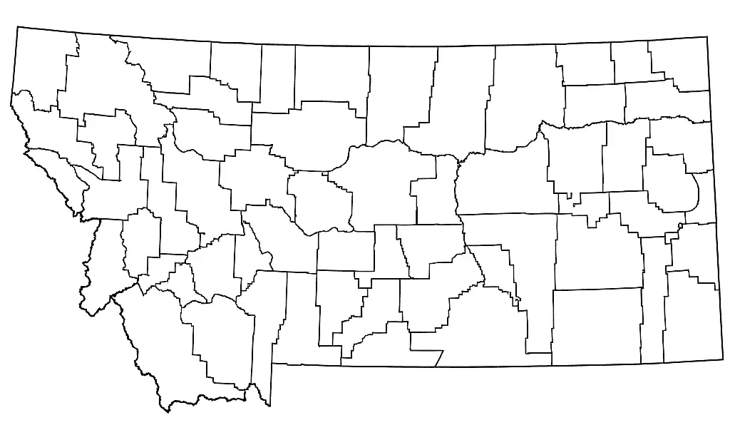
A Montana outline map template is a simple map with no internal labels or details, allowing users to add their own information. It encourages learners to identify key geographic features such as the Rocky Mountains and the Great Plains, as well as major cities like Billings and Helena.
An outline map of Montana is commonly used in classrooms for labeling activities, practicing map-reading skills, and studying physical geography. It is also a useful tool for projects, planning locations, and illustrating the state’s unique landscape and geographic features.

