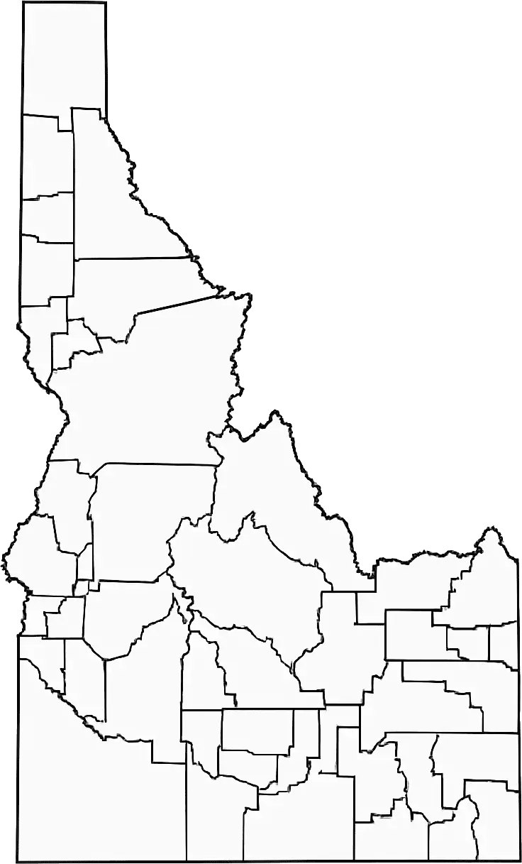
A blank Idaho county map is a useful resource for teaching and exploring the geography of the “Gem State.” This uncluttered map, without cities, borders, or landmarks marked, serves as a flexible tool for education, planning, and research.In classrooms, a blank map of Idaho is often used to help students label key locations such as Boise, Idaho Falls, and Coeur d'Alene, as well as major rivers like the Snake River. This hands-on approach encourages active participation, strengthens spatial awareness, and helps learners better understand Idaho’s physical and political geography.
A blank Idaho map is also useful for travelers, planners, and researchers who want to map routes, regions, or data points across the state. Its customizable format helps users better understand the diverse landscape of Idaho, including rugged mountains, wide plains, and forested areas.Through activities like labeling counties, tracing mountain ranges, and marking tourist destinations, a blank Idaho map encourages deeper engagement with geography. Its simple design makes it suitable for students, educators, professionals, and general users alike, offering a clear way to explore and understand Idaho’s physical and political landscape.
Idaho is a state in the northwestern United States known for its scenic landscapes, outdoor recreation, and strong agricultural industry. It shares borders with six U.S. states and Canada, and features diverse geography including mountains, forests, rivers, and fertile plains.The capital and largest city, Boise, is a growing cultural and economic hub. Idaho is one of the nation’s leading producers of potatoes and other crops, playing an important role in U.S. agriculture.The state is also popular for outdoor activities such as hiking, skiing, fishing, and whitewater rafting. With its natural beauty and small-town atmosphere, Idaho offers a unique blend of adventure and peaceful living.
An Idaho map worksheet is an interactive educational tool designed to help students learn about the geography of Idaho. These worksheets typically feature a blank or partially labeled map, encouraging learners to identify and label major cities such as Boise, Idaho Falls, and Twin Falls, along with rivers, mountain ranges, and other key geographic features.
An Idaho map worksheet helps students build map-reading skills, improve spatial awareness, and strengthen their understanding of geography across Idaho. Teachers often use these worksheets in classrooms to encourage engagement through activities, assignments, and quizzes that explore the state’s diverse landscapes, including mountains, rivers, and plains.
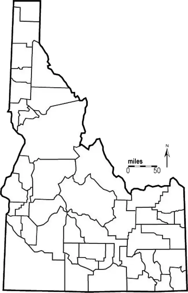
An Idaho map outline shows the state’s borders with the surrounding area left blank. This simple outline of Idaho allows users to label important geographic features such as cities, rivers, mountain ranges, and counties.It is widely used in classrooms as a learning tool to help students practice map-reading skills, improve spatial awareness, and better understand state-level geography in an interactive and visual way.
The outline map of Idaho can be adapted by both teachers and students for a wide range of projects, quizzes, and assignments. Whether studying natural landmarks or political boundaries, an Idaho map outline provides a flexible starting point for exploring the state’s overall layout and geography in an engaging and visual way.

