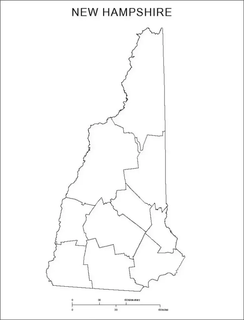
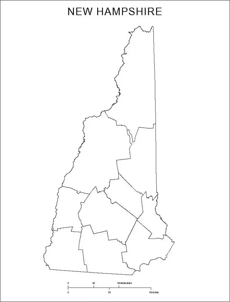
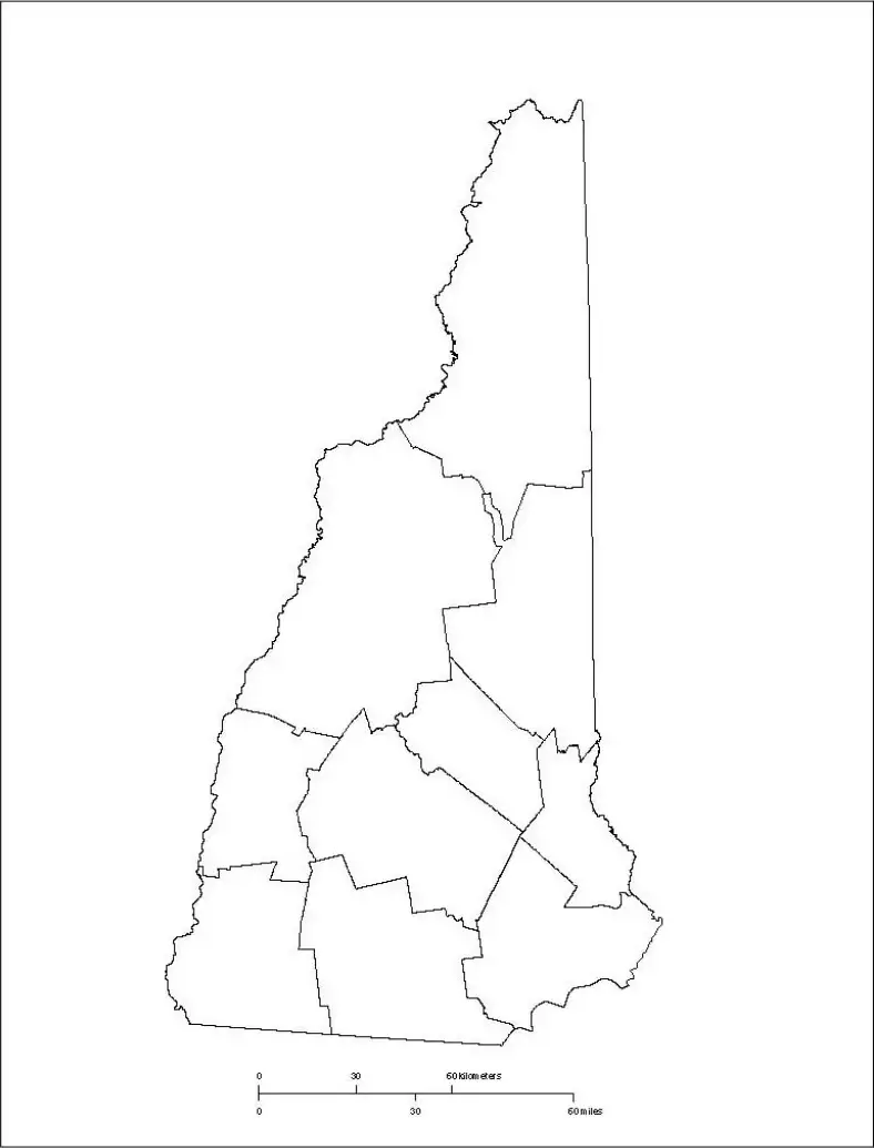
A free printable blank county map of New Hampshire is a simple outline of the state without labels, making it useful for education and planning. It provides a blank canvas for students, teachers, and planners to explore and engage with the state’s geography.Whether used in classrooms for labeling activities or by travelers planning routes, a blank New Hampshire map helps users better understand the state’s regions, cities, rivers, and natural landmarks.
Students can use a blank map of New Hampshire to identify major locations such as Concord, Manchester, and the White Mountains. Teachers often use it for quizzes, assignments, and group activities to reinforce geography skills.Planners, researchers, and data analysts can also customize the map for presentations and studies. Despite its small size, New Hampshire has significant historical and natural importance. A blank map of New Hampshire provides a hands-on and visual way to explore the Granite State’s physical and cultural geography in both printed and digital formats.
New Hampshire is a state in the northeastern United States known for its scenic landscapes, rich history, and outdoor recreation opportunities. It is part of the New England region and shares borders with Maine, Massachusetts, Vermont, and Canada.The state features picturesque towns, forested mountains, and a small Atlantic coastline. Its capital is Concord, while its largest city is Manchester.
New Hampshire is well known for the White Mountains, vibrant fall foliage, and its unique role as the first-in-the-nation primary in U.S. presidential elections.The state is often appreciated for its quieter lifestyle, scenic natural surroundings, and absence of a general sales tax, making it an attractive alternative to more fast-paced urban environments.
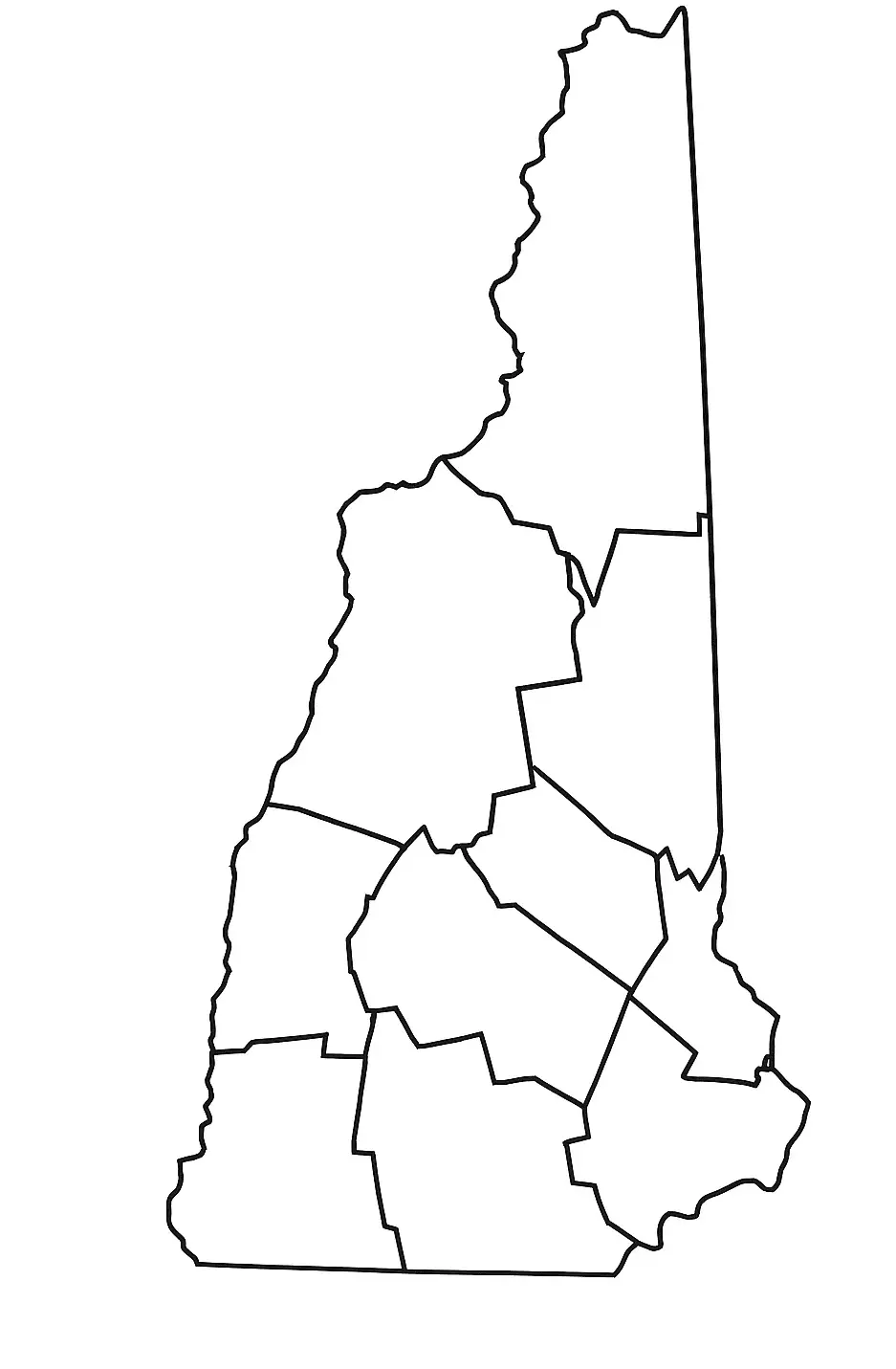
A New Hampshire map worksheet is an educational tool that helps students explore the geography of New Hampshire in an engaging way. These worksheets often include blank or partially labeled maps where learners identify key locations such as Concord, Manchester, the White Mountains, and important rivers.
New Hampshire map worksheets are commonly used in classrooms to teach state geography, history, and natural features across New Hampshire. These worksheets help students develop map-reading skills, improve spatial awareness, and recognize important regional landmarks.They are especially useful for quizzes, projects, and interactive learning activities at the elementary and middle school levels, making geography more engaging and easier to understand.
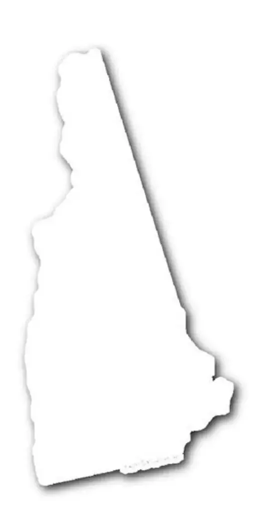
A blank map outline of New Hampshire is a simple drawing showing only the state’s borders without internal details, making it useful for both education and creative activities.This type of outline allows students and teachers to add labels for cities, counties, rivers, and notable landmarks such as the White Mountains and Lake Winnipesaukee.
An outline map of New Hampshire helps learners build geographic awareness and understand the state’s overall layout. It is commonly used in classrooms, presentations, and travel planning activities.Whether in printed or digital form, this simple outline format encourages interactivity, exploration, and personalization, making it a useful tool for studying and engaging with New Hampshire’s geography.

