
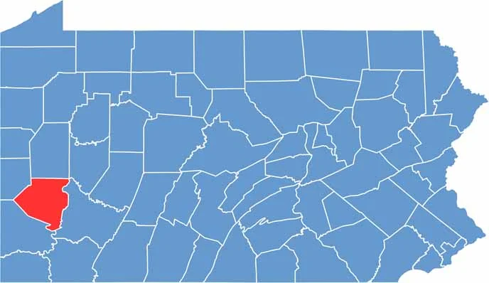
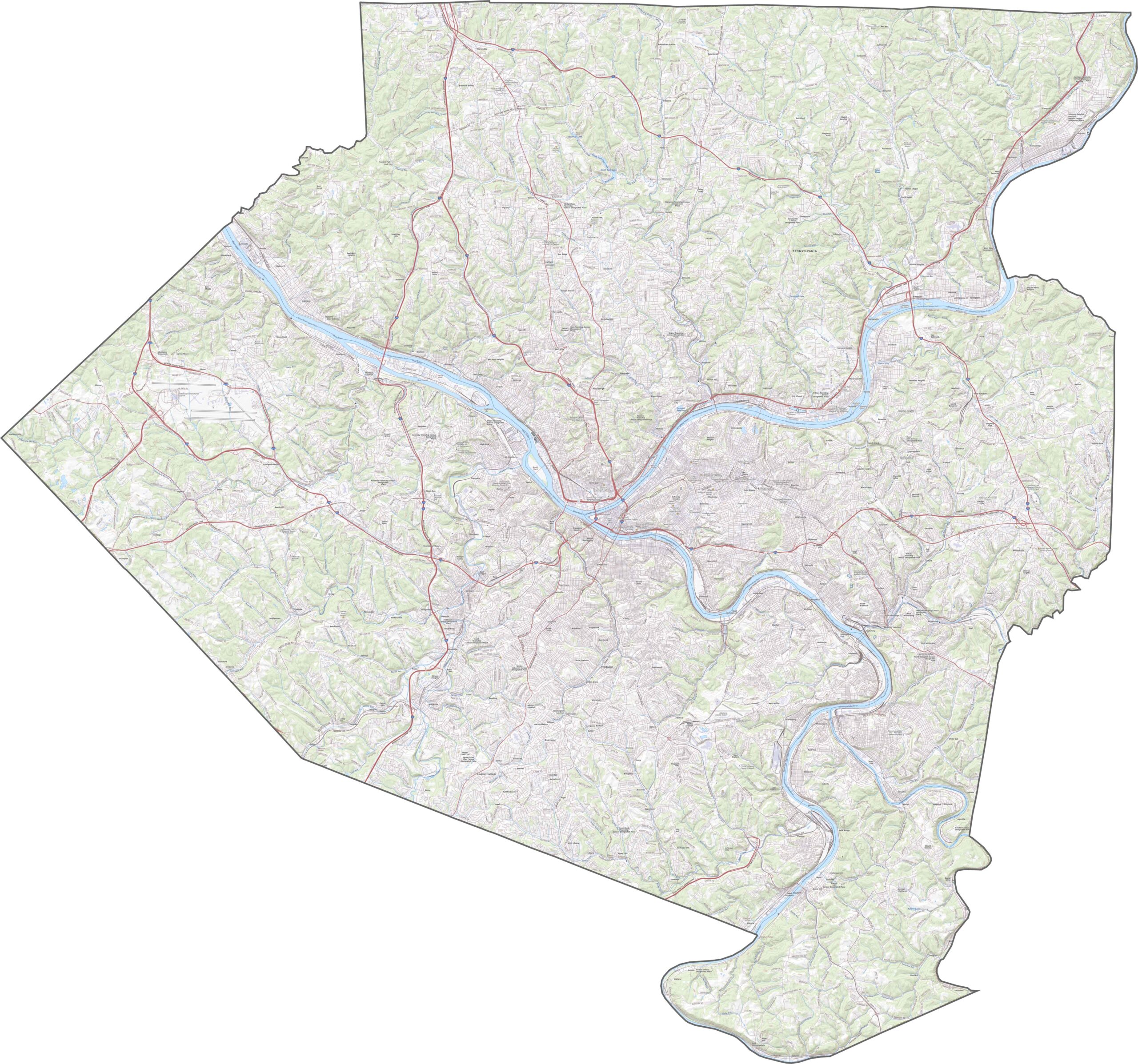
Allegheny County sits in the southwest corner of Pennsylvania and is home to Pittsburgh, the state's second-largest city. The city lies where three rivers meet: the Allegheny, the Monongahela, and the Ohio.
This spot has been important for trade and industry for centuries. Steel once ruled here, but healthcare and tech are now among the biggest employers.
The county isn't all urban, with plenty of parks and green spaces to explore. Sports fans are passionate about their teams, and the NFL Steelers, MLB Pirates, and NHL Penguins all call Pittsburgh home.
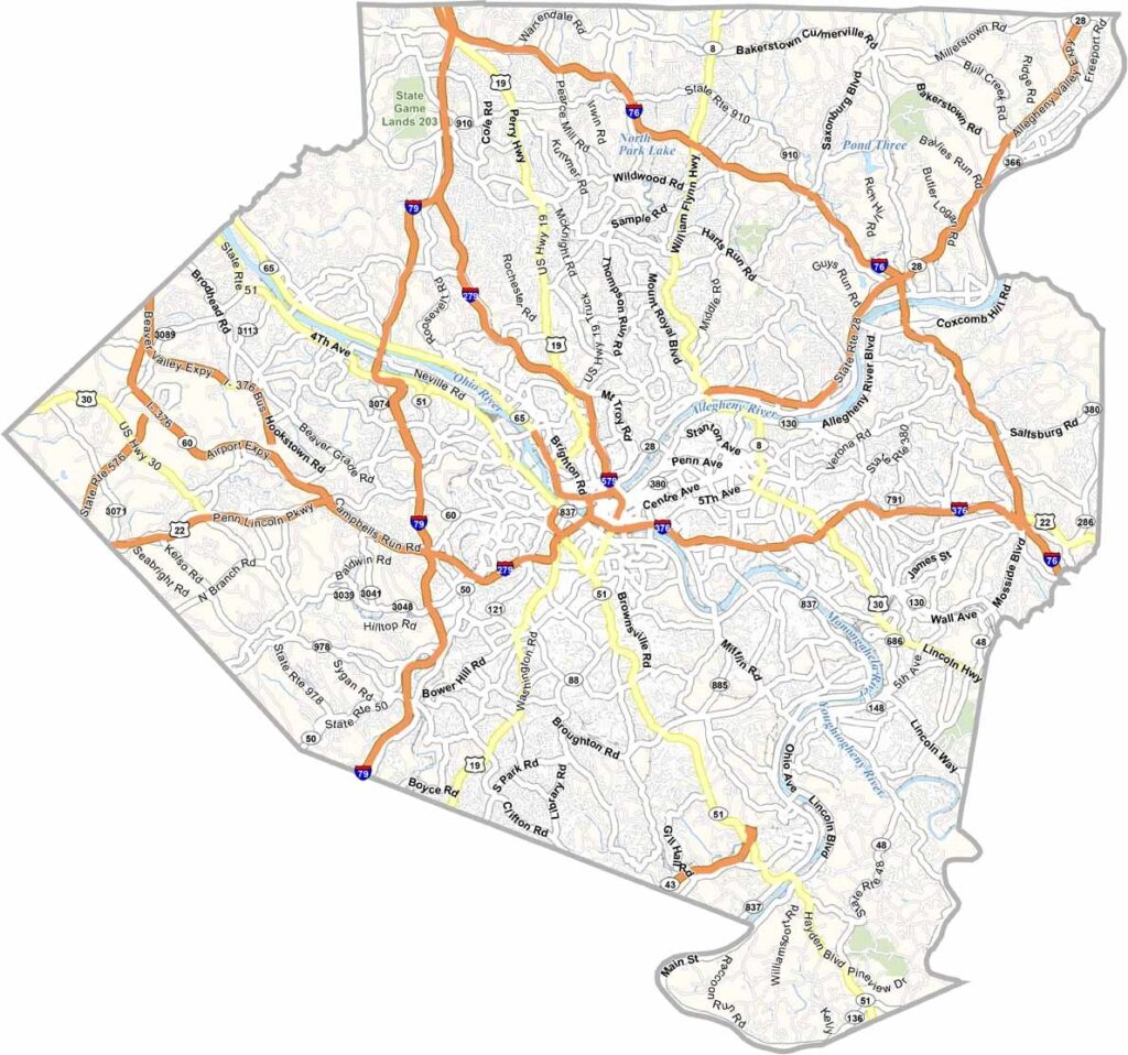
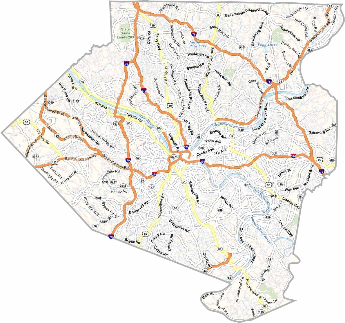
Allegheny County's highway system is dense and built to handle heavy volume. Rural areas exist, but the focus is on moving traffic in and out of Pittsburgh, while quieter backroads linger on the outskirts. Our road map's zoom tool shows how everything connects.
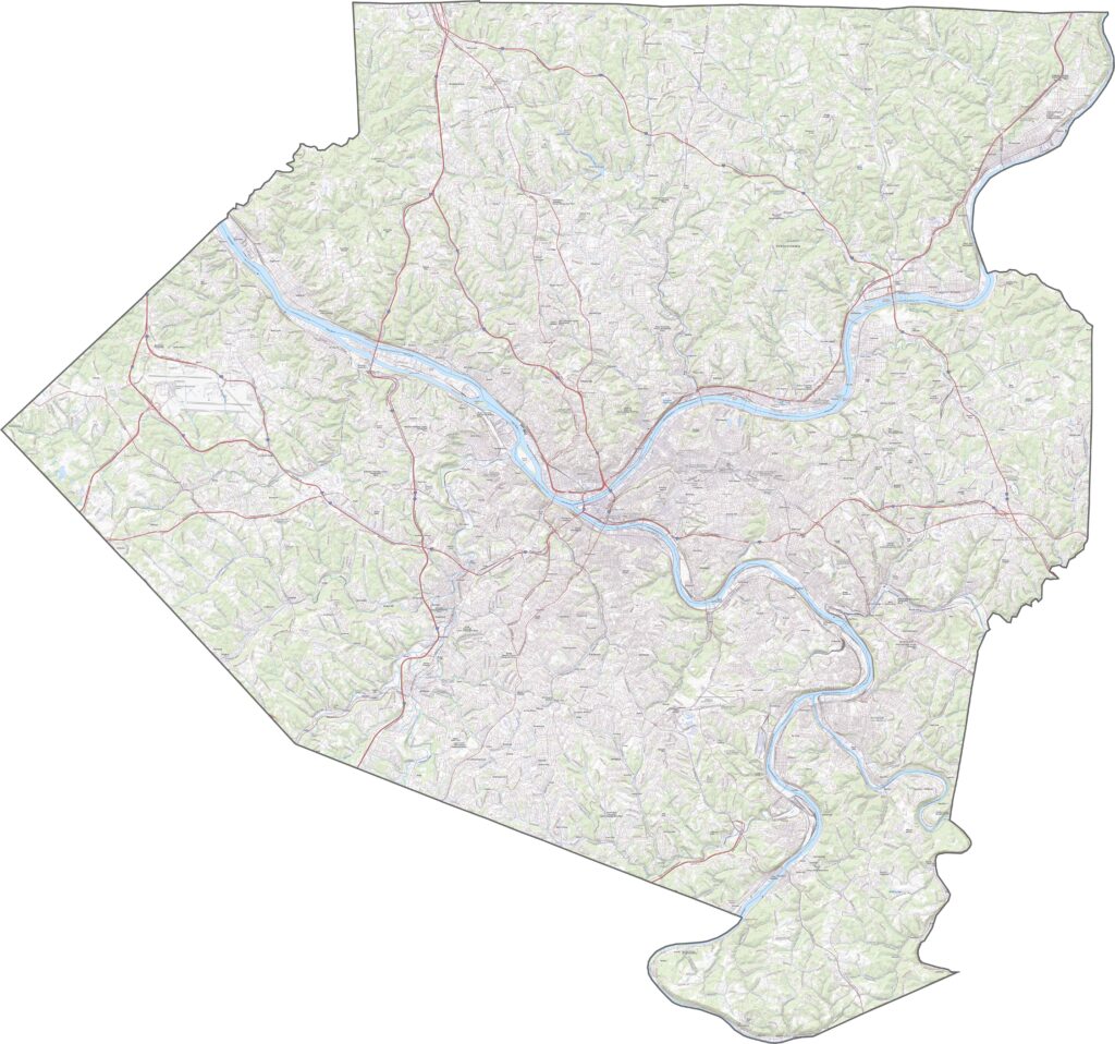
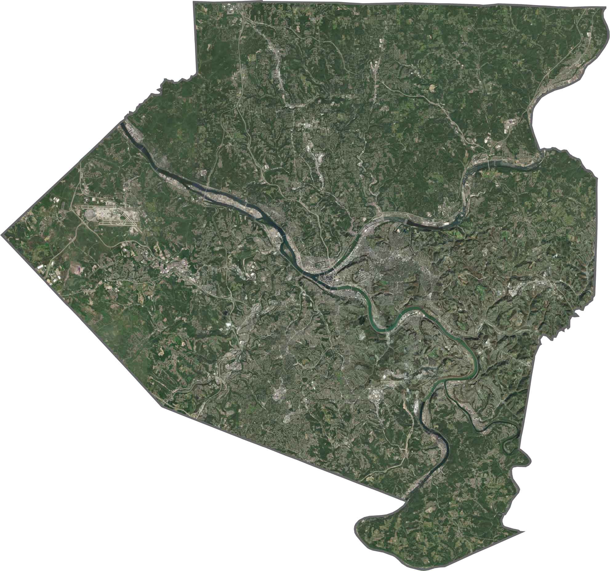
Urban density fills the center, with sharp angles from roads and rooftops. Rivers cut deep, carving dark lines through the city. Tree cover increases toward the north and west, and green spaces still appear in surprising places despite the dominance of the metro area.
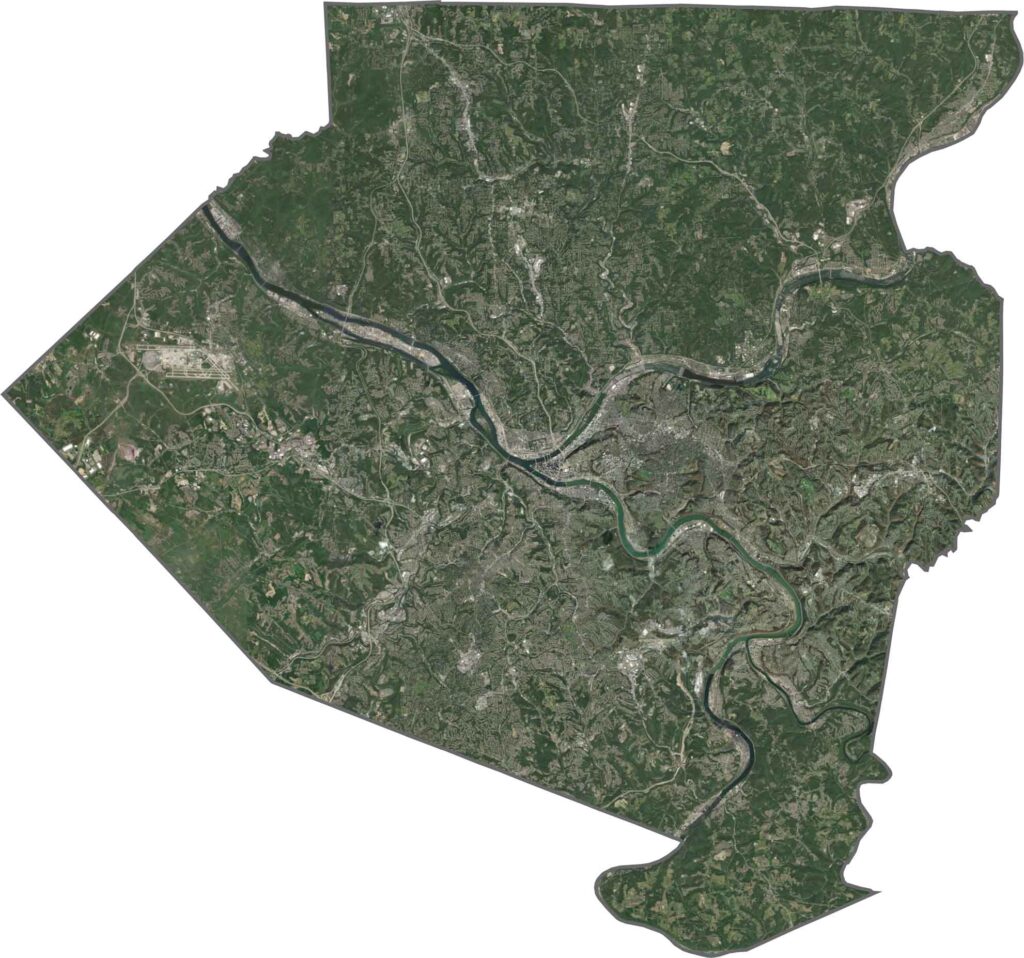
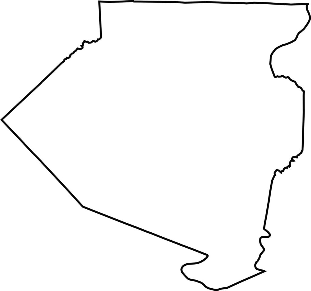
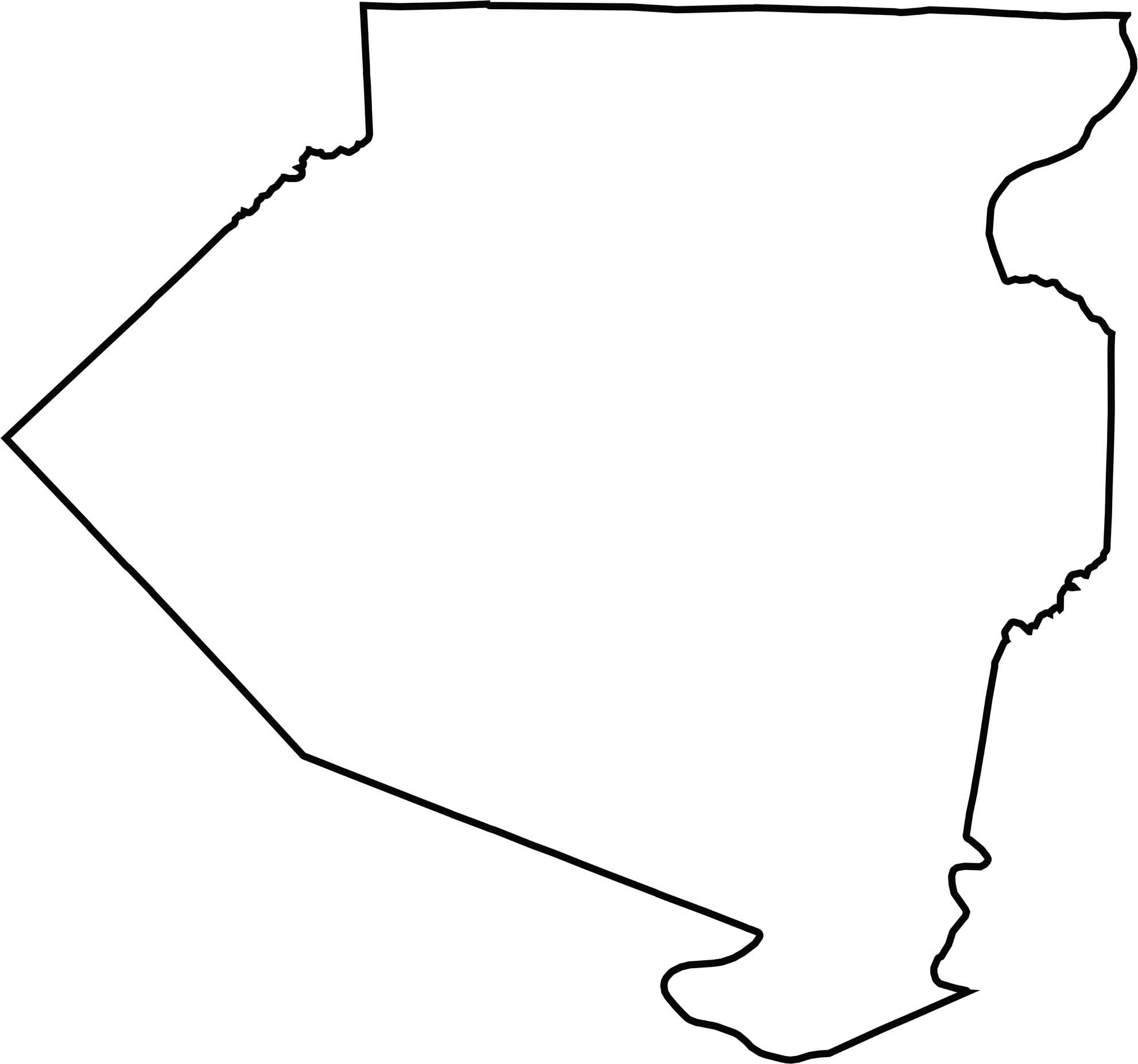
The county outline is jagged, with several rivers forming its borders. Allegheny County doesn't touch another state, but it borders multiple counties in nearly every direction.







Pennsylvania's 67 counties take in the glow of the Steel City, quiet Amish country backroads, and escapes in the Pocono Mountains. Distances may differ from place to place, but the stories stay just as rich.