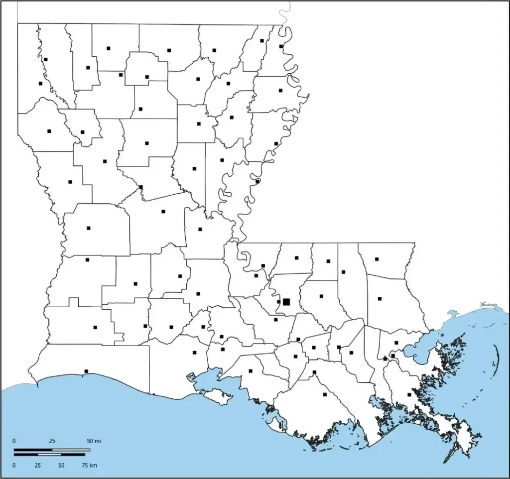
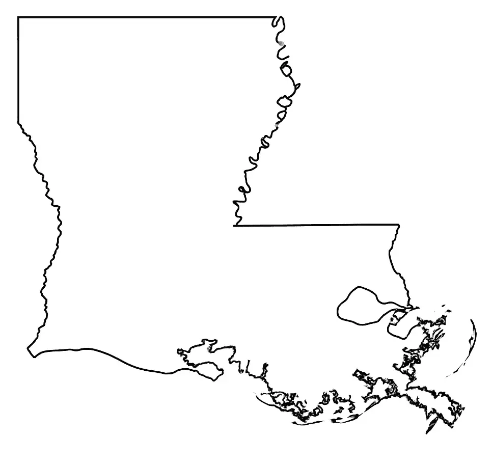
A blank map of Louisiana is a useful educational tool that allows users to explore the state’s geography in a customizable way. It provides a simple outline without labels for cities, rivers, countries, or landmarks, making it a blank canvas for students, educators, and researchers.In classrooms, a blank Louisiana map is commonly used to help students understand different regions of the state, from the Mississippi River Delta to the bayous and coastal wetlands. It is especially helpful for labeling exercises, geography quizzes, and interactive lessons focused on the state’s culture and history.
Users can label important cities in Louisiana such as New Orleans, Baton Rouge, and Shreveport, along with natural features like Lake Pontchartrain and the coastline along the Gulf of Mexico.A blank Louisiana map is also useful for travel planning, demographic studies, and analyzing regional characteristics. It helps present information visually, supports route planning, and assists in studying parish boundaries in detail. Overall, it is not limited to academic or professional use—it also offers personal insight into Louisiana’s geography, environment, and cultural significance.
Louisiana, a state in the southern United States, is known for its rich culture, history, and natural beauty. It has a vibrant music scene and a distinctive cultural atmosphere shaped by French, African, Spanish, and Creole influences, which are also strongly reflected in its cuisine and traditions.
Louisiana is known for cities such as New Orleans, famous for Mardi Gras and its rich jazz heritage, and Baton Rouge, the state capital. Its landscape is shaped by the Mississippi River, along with swamps, bayous, and coastal wetlands. The state also plays a significant role in the energy industry. With its diverse traditions, welcoming culture, and scenic natural environment, Louisiana offers a distinctive charm.
A Louisiana map worksheet is an educational tool designed to help students learn about the state’s geography, culture, and important locations. It typically features a blank or partially labeled map of Louisiana, where learners can identify and label major cities such as New Orleans, Baton Rouge, and Shreveport, as well as rivers, lakes, and surrounding states.
Louisiana map worksheets are used by teachers to strengthen students’ spatial awareness and map-reading skills through interactive tasks like labeling, coloring, and matching. They are commonly used for classroom activities, homework, and geography quizzes, making them an engaging and effective way to learn about Louisiana.
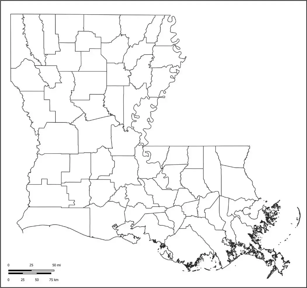
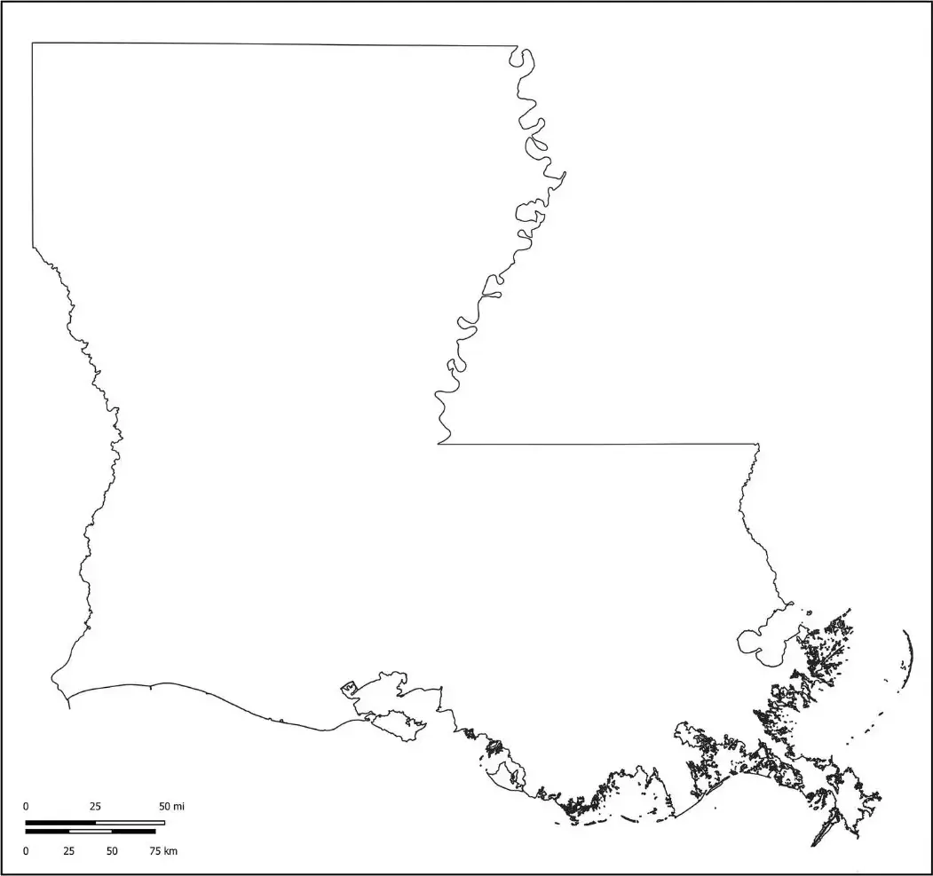
A Louisiana outline map is a simple, blank representation of the state’s borders that highlights its distinctive boot-like shape. This format is commonly used in classrooms, allowing students and teachers to identify and label key cities such as New Orleans, Baton Rouge, and Lafayette, as well as major rivers like the Mississippi and Red Rivers.
The Louisiana map outline is a useful tool for learning geography and improving spatial awareness through activities like identifying regions and parishes and locating key landmarks. It can be used in classroom lessons, quizzes, or creative projects, making it a versatile resource for exploring the state’s cultural and physical features.