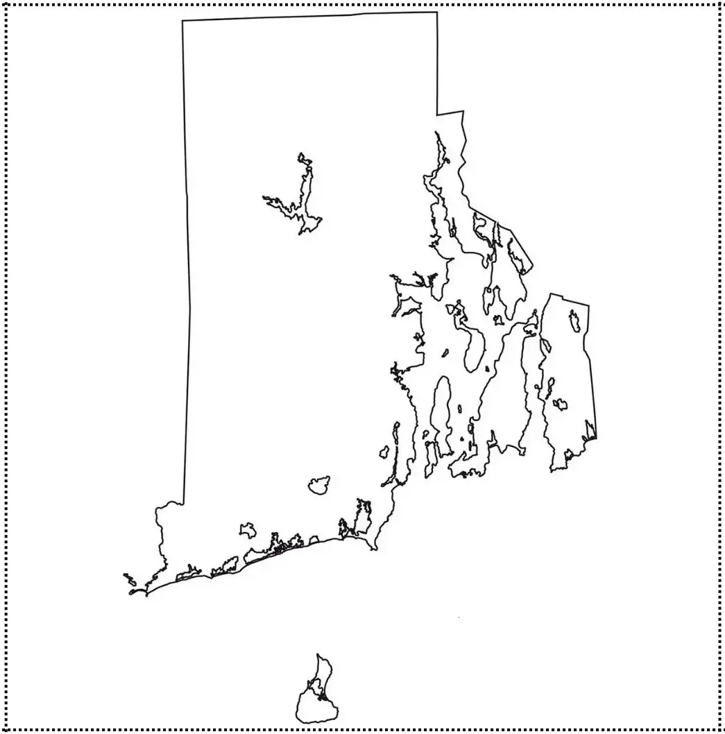
A Blank Rhode Island Map is a useful educational resource that allows users to explore the geography of Rhode Island through a simple, unlabeled outline of the state. Rhode Island, the smallest state in the United States, is located in the New England region along the Atlantic coast and is known for its rich maritime heritage and coastal beauty. This type of map helps students, educators, and geography enthusiasts learn about the state's boundaries, neighboring states, major cities, rivers, and other important geographical features.
Using a Blank Rhode Island Map, learners can identify and label key locations such as Providence, the state capital, and Warwick, one of its largest cities. They can also mark significant natural features, including Narragansett Bay and the Pawtuxet River. Teachers frequently use these maps in classroom activities to strengthen map-reading skills, geographic knowledge, and spatial awareness.
Rhode Island, the smallest state in the United States, is known for its rich colonial history, scenic coastline, and vibrant cultural heritage. Located in the New England region, it was one of the original thirteen colonies and played an important role in the American Revolution and the founding of the nation.
Despite its small size, Rhode Island is one of the most densely populated states in the country. It is home to Providence, the state capital and largest city, which serves as a center for education, healthcare, and commerce. Rhode Island is also famous for its beautiful beaches, strong sailing traditions, and the historic mansions of Newport, which attract visitors from around the world.
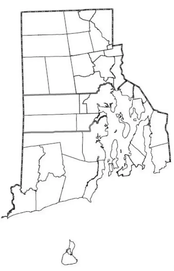
A Rhode Island Map Worksheet is a valuable educational tool that helps students learn about the geography of the smallest U.S. state. These worksheets typically feature maps that include important locations such as Providence and Newport, along with counties, major roads, and notable bodies of water like Narragansett Bay. By completing map-based activities, students can strengthen their map-reading abilities, geographic knowledge, and spatial awareness. Teachers often use Rhode Island map worksheets in classrooms for assignments, quizzes, and interactive learning exercises, making geography lessons more engaging and helping students gain a better understanding of the state's physical and political features.

Rhode Island map worksheets are widely used in classrooms to improve map-reading skills, expand geographic knowledge, and support lessons in history and social studies. These worksheets can be used for a variety of activities, including coloring, labeling, and quiz preparation, making learning both interactive and engaging. By working with these maps, students gain a better understanding of Rhode Island’s roads, cities, landmarks, and geographical significance while developing important spatial awareness and critical-thinking skills.
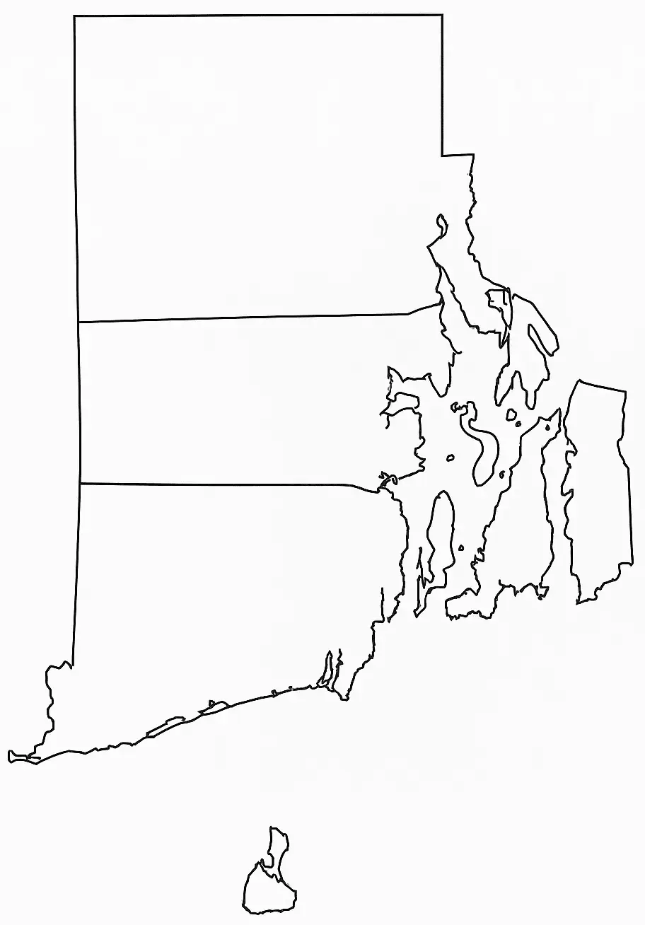
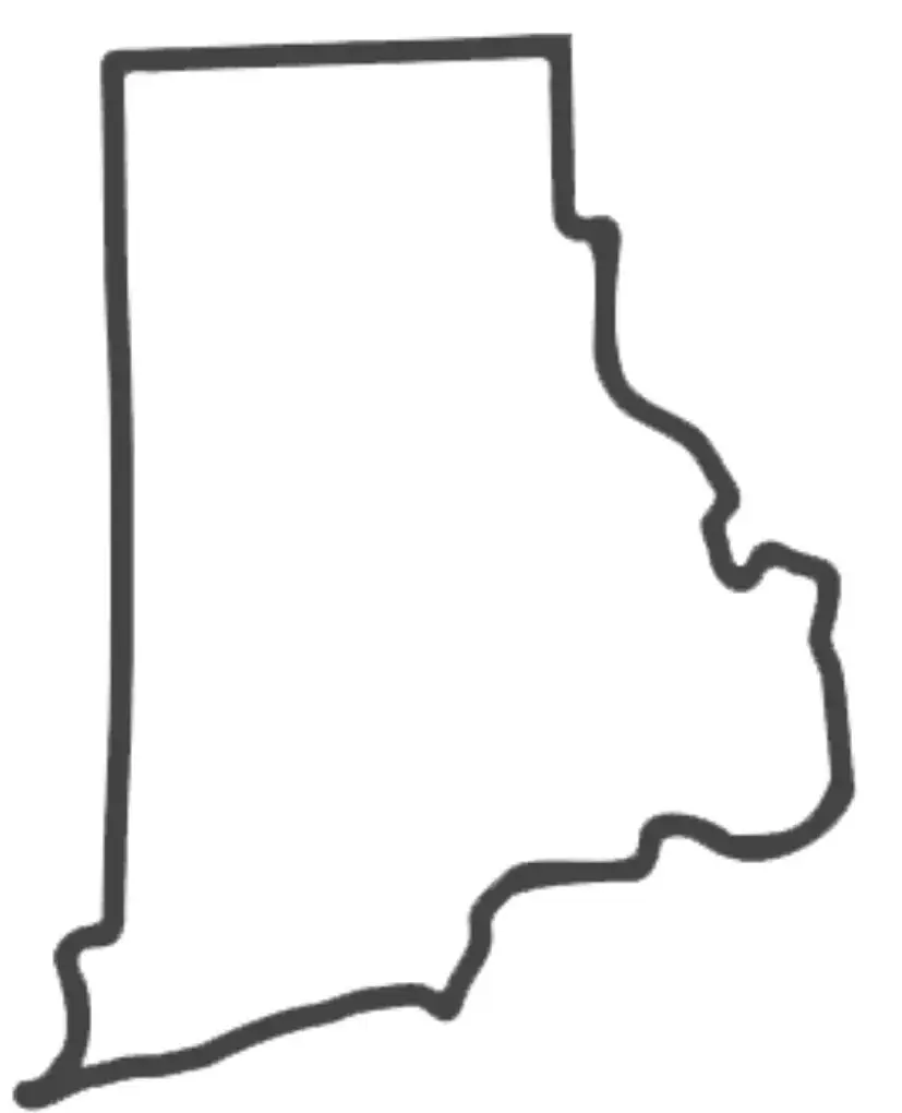
A Rhode Island Map Outline is a simple, unlabeled representation of the state's boundaries that serves as a useful resource for educational, creative, and reference purposes. As the smallest state in the United States, Rhode Island is known for its unique coastal geography, which includes numerous bays, inlets, and the well-known Narragansett Bay. This map outline allows students, teachers, and geography enthusiasts to label major cities, rivers, counties, and other important landmarks while developing a better understanding of the state's geography. It is commonly used in classrooms for map-reading exercises, projects, quizzes, and other activities that encourage hands-on learning and geographic exploration.
A Rhode Island Map Outline is also an excellent resource for classroom activities, quizzes, and creative art projects. Its simple design allows users to customize the map by adding labels, colors, and geographical features, making learning both interactive and engaging. By providing a hands-on approach to exploring the state's geography, the map outline helps students develop a deeper understanding and appreciation of Rhode Island’s unique landscape, history, and regional significance.

