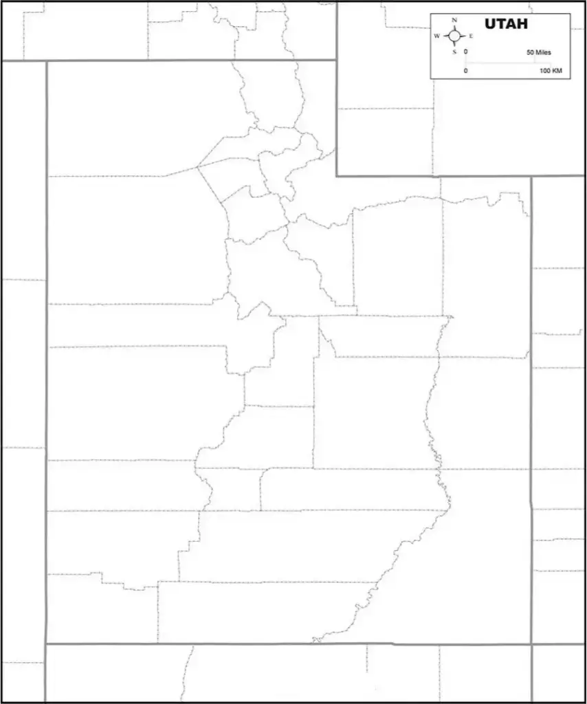
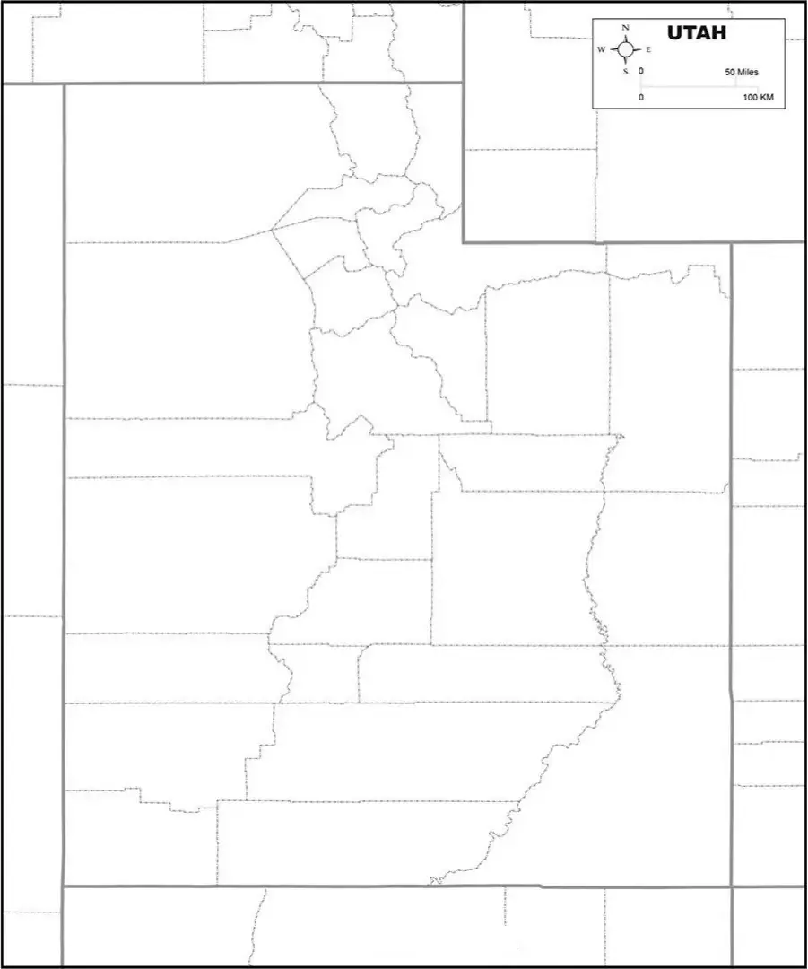
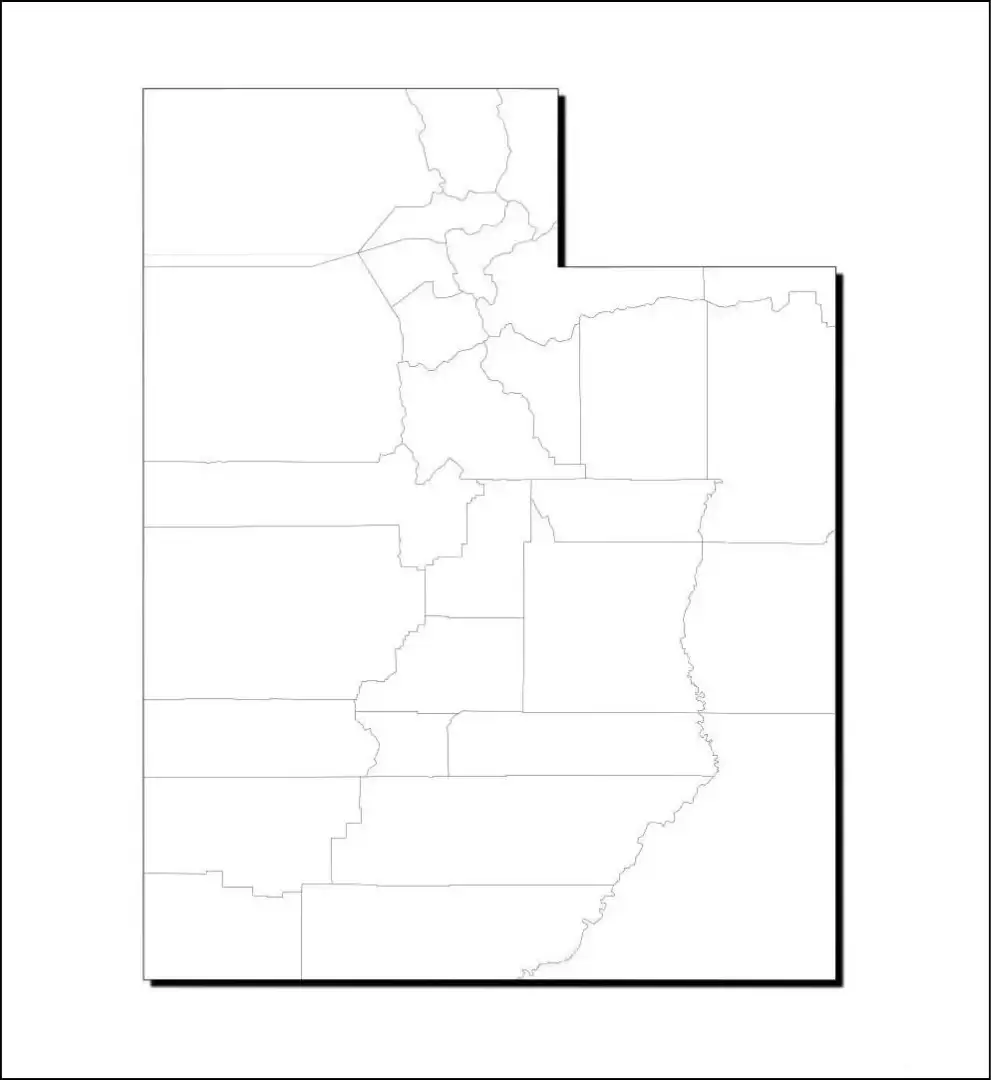
A blank county map of Utah is a helpful educational and reference tool for studying the state’s geography without pre-labeled details. It provides a simple outline that allows users to focus on the structure and layout of the state.For students, this type of map supports hands-on learning by allowing them to label cities, counties, and geographic features, helping build a clearer understanding of Utah’s unique physical and regional characteristics.
For teachers, a blank map of Utah serves as a foundation for lesson planning, while travelers can use it as a customizable guide for organizing trips. It displays only the state’s borders and outline, without labels for cities, highways, or landmarks.This allows users to add their own information for study, analysis, or exploration, making it a flexible tool for learning and understanding Utah’s geography.
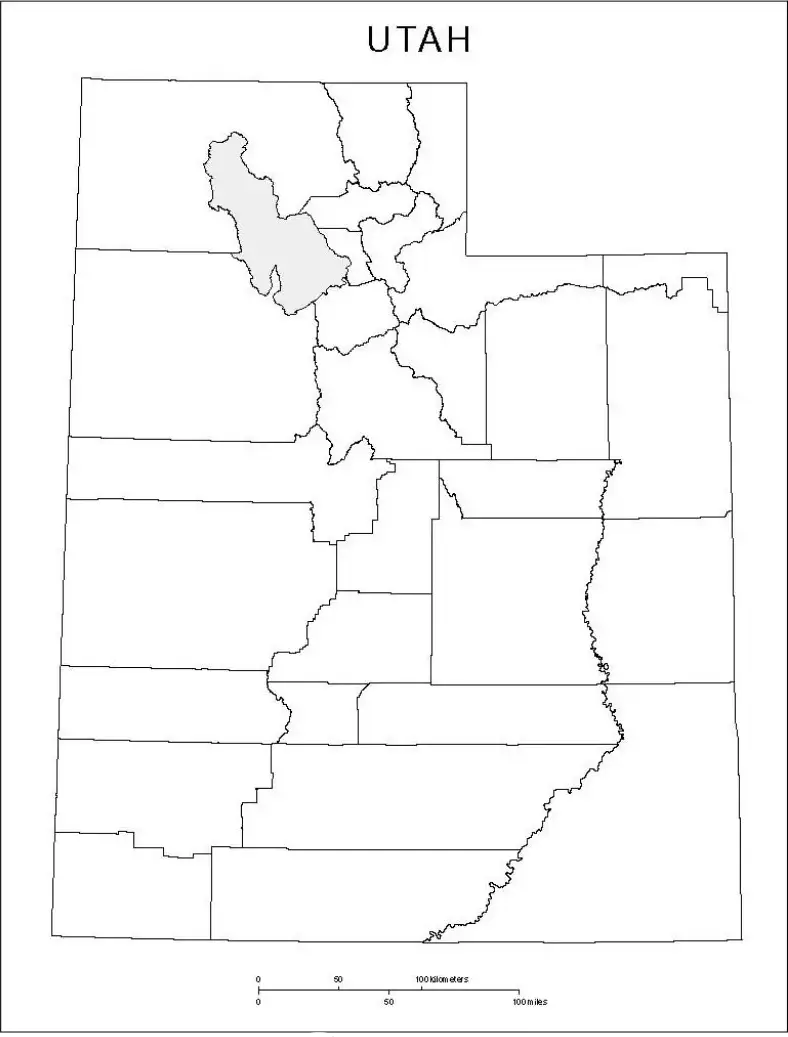
Utah is known for its stunning natural landscapes, including the red rock formations of Arches and Zion National Parks, the Great Salt Lake, and the Wasatch Mountains. These landmarks make the state especially useful for geography learning and visual study.A blank Utah map provides a helpful canvas for marking key features such as counties, rivers, and elevation changes across the state. It is commonly used in geography classes, quizzes, and travel planning to help users better understand Utah’s diverse physical landscape and regional structure.
Utah is a western United States state known for its diverse landscapes and striking natural beauty. It shares borders with six states: Colorado, Wyoming, Idaho, Arizona, Nevada, and New Mexico.The state is famous for its national parks, including Zion National Park, Bryce Canyon National Park, and Arches National Park, which feature dramatic rock formations and desert scenery. It is also home to the Great Salt Lake, the largest saltwater lake in the Western Hemisphere.Utah has a rich cultural history influenced by Native American tribes and early Mormon settlers, and its varied terrain offers many opportunities for outdoor activities such as hiking, skiing, and mountain biking.
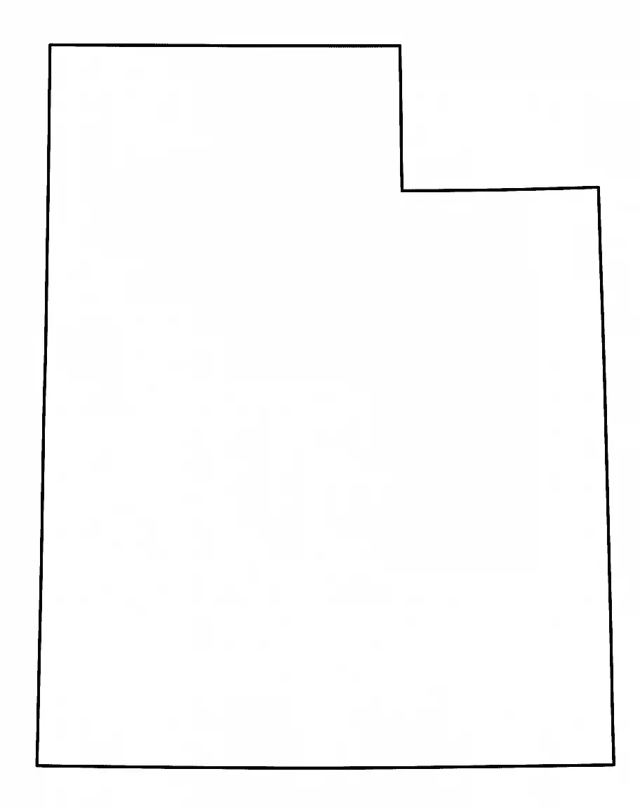
A blank map worksheet of Utah is a useful resource for students and geography enthusiasts. It shows the state’s boundaries and allows users to explore and label cities, counties, rivers, and landmarks.This type of worksheet often helps learners locate key places such as Salt Lake City, the Great Salt Lake, and national parks like Zion National Park and Arches National Park.
Students benefit greatly from using a blank map of Utah for labeling, map-reading practice, and identifying different geographic features and regions.This type of resource supports a hands-on learning approach that improves understanding of the state’s geography and makes exploring Utah more interactive, engaging, and visually meaningful.
A blank outline map of Utah provides a clean and simple view of the state’s borders, making it useful for educational purposes. It helps learners understand the shape of the state and identify its geographic position.It is also commonly used to study Utah’s relationships with neighboring states such as Colorado, Arizona, Nevada, and Idaho.
A blank map outline of Utah is a useful tool for practicing map-reading skills and labeling major cities such as Salt Lake City.It also helps learners identify important landmarks like the Great Salt Lake and nearby national parks. Working with a blank Utah map allows students to better understand the state’s terrain and geographic significance through hands-on learning.

