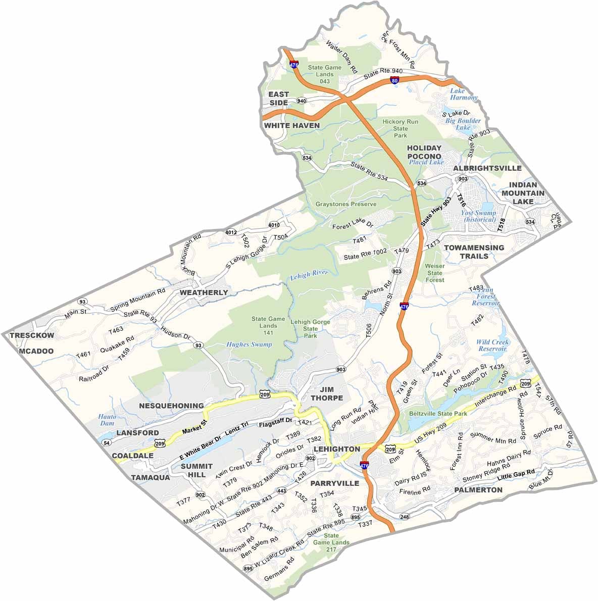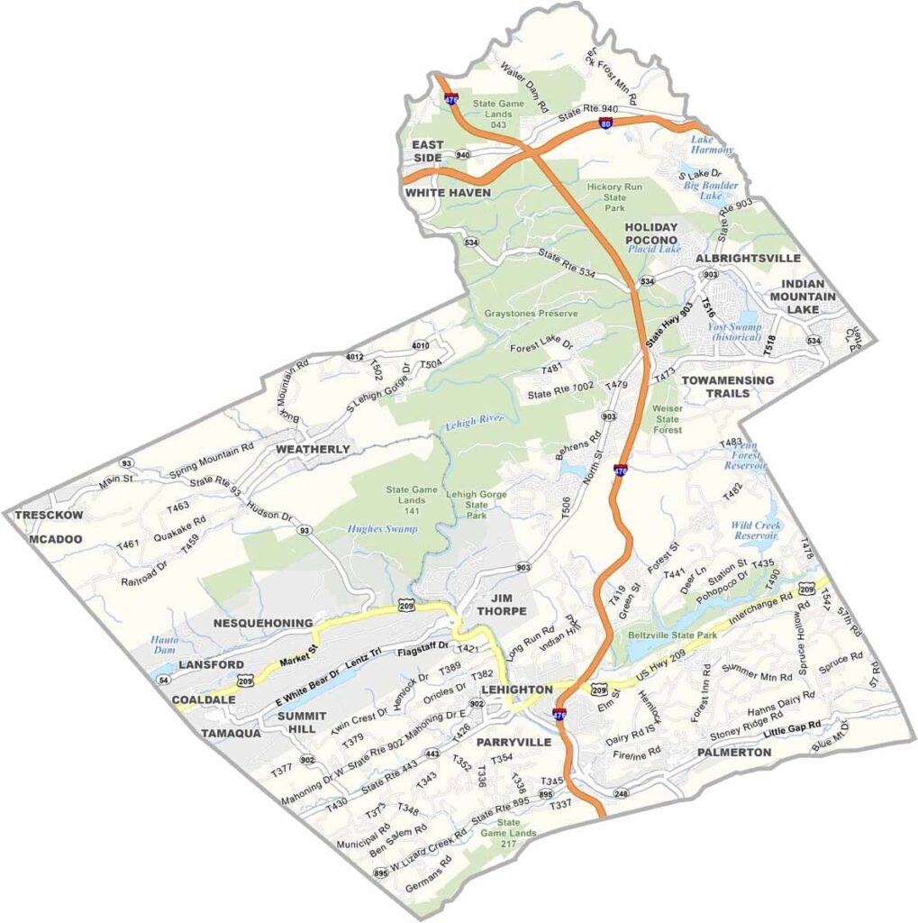
Carbon County Map, Pennsylvania

Carbon County, Pennsylvania

Carbon County lies in eastern Pennsylvania and blends history with natural beauty. The Lehigh River winds through it, carving out the dramatic Lehigh Gorge, and the county takes its name from its coal deposits.

Jim Thorpe, once known as Mauch Chunk, serves as both a borough and the county seat. Today it is remembered as the burial place of the Native American sports legend Jim Thorpe.

Hikers and bikers flock to the D&L Trail, while skiers head to Blue Mountain in winter. Beltzville State Park offers a mountain beach and trout fishing. Despite being a short drive from major cities, Carbon County is full of surprises.
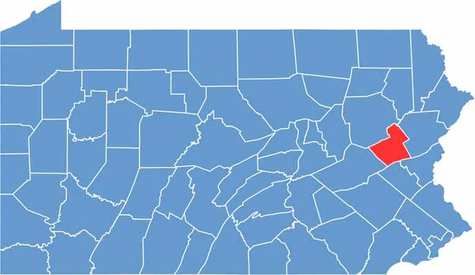

Location map of Carbon County, Pennsylvania
CategoryDetails
County NameCarbon County
County SeatJim Thorpe
EtymologyNamed for its abundant deposits of coal
Cities, Towns, and CommunitiesJim Thorpe, Lehighton, Palmerton, Weatherly, Nesquehoning, Summit Hill
Interstates and HighwaysInterstate 80, Interstate 476, U.S. Highway 209, State Highway 903
FIPS Code42-025
Total Area (Land and Water)389 square miles (381 sq mi land, 8 sq mi water)
Adjacent Counties (and Direction)Luzerne County (North), Monroe County (East), Northampton County (Southeast), Lehigh County (South), Schuylkill County (Southwest)
Time ZoneEastern Time Zone (EST)
StatePennsylvania
Coordinates40°55’N, 75°42’W
Major LandmarksLehigh Gorge State Park, Asa Packer Mansion, Old Jail Museum, Hickory Run State Park
PopulationApproximately 66,000
Scroll to Top