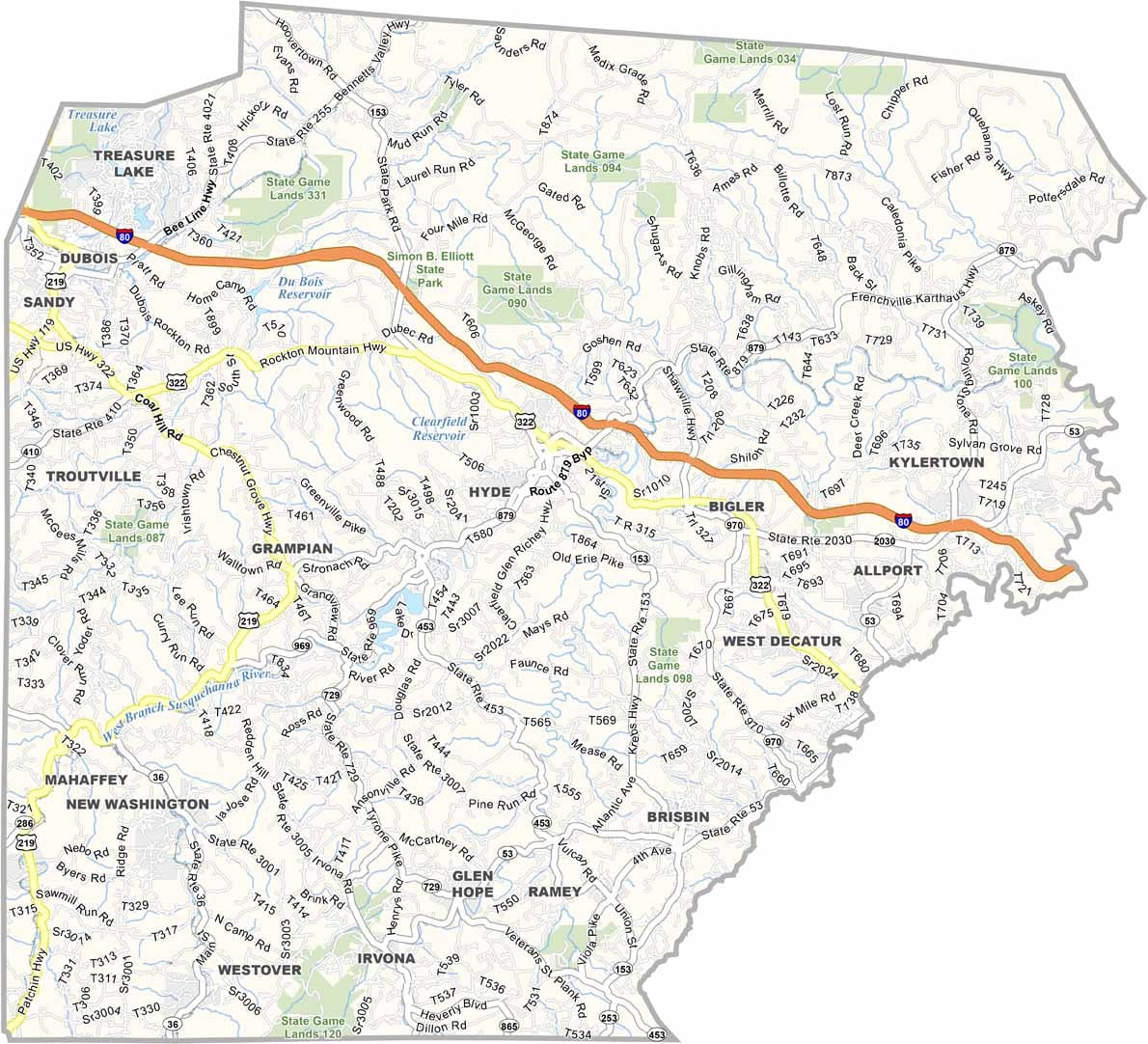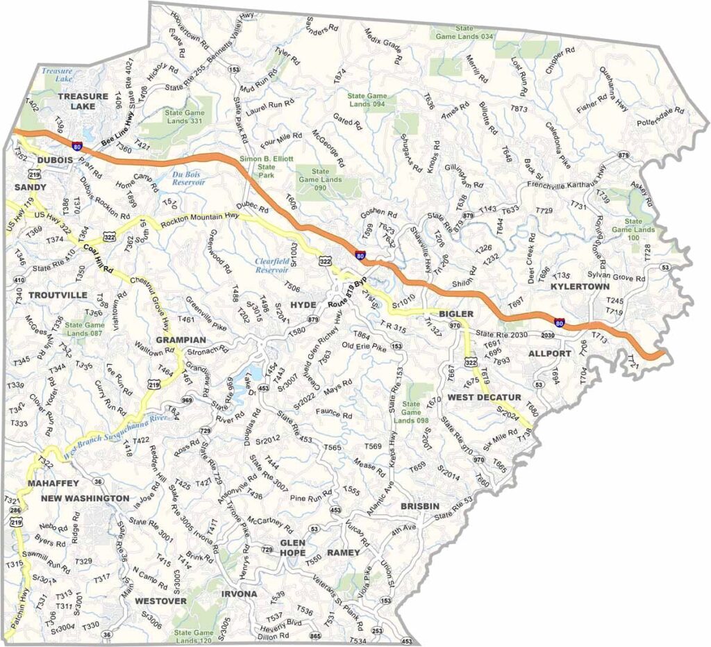
Clearfield County Map, Pennsylvania

Clearfield County, Pennsylvania

Clearfield County sits in the heart of Pennsylvania and has plenty of stories to tell. It was once coal country, and traces of that past are still easy to spot.

The West Branch Susquehanna River winds through the county, shaping the land around it. Friday nights belong to high school football, which locals take very seriously.

Clearfield County has more state game lands than any other county in the state, leaving endless room for hiking, hunting, and getting lost in nature. The Quehanna Wild Area is a visitor favorite, and Punxsutawney Phil, the famous groundhog, lives just next door.
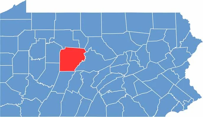

Location map of Clearfield County, Pennsylvania
CategoryDetails
County NameClearfield County
County SeatClearfield
EtymologyNamed for the cleared fields from logging in the area
Cities, Towns, and CommunitiesClearfield, DuBois, Curwensville, Philipsburg, Houtzdale, Coalport
Interstates and HighwaysInterstate 80, U.S. Highway 219, U.S. Highway 322, State Highway 153
FIPS Code42-033
Total Area (Land and Water)1,154 square miles (1,144 sq mi land, 10 sq mi water)
Adjacent Counties (and Direction)Elk County (North), Cameron County (North), Clinton County (Northeast), Centre County (East), Blair County (Southeast), Cambria County (South), Indiana County (Southwest), Jefferson County (West)
Time ZoneEastern Time Zone (EST)
StatePennsylvania
Coordinates41°01’N, 78°28’W
Major LandmarksParker Dam State Park, Bilger’s Rocks, Curwensville Lake, Grice Clearfield Community Museum
PopulationApproximately 78,000
Scroll to Top