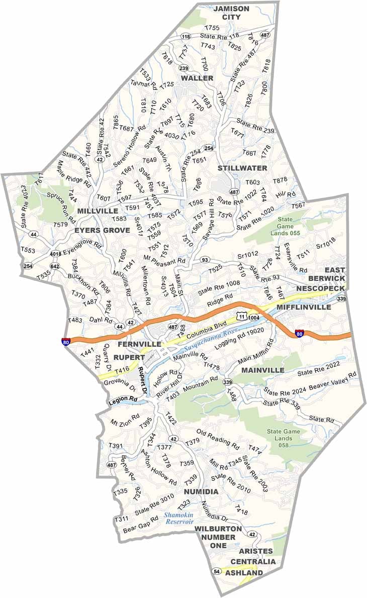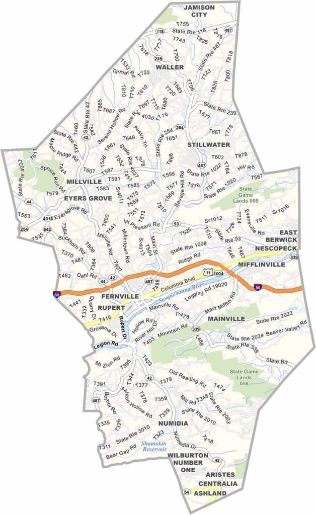
Columbia County Map, Pennsylvania

Columbia County, Pennsylvania

Columbia County lies in eastern Pennsylvania, not far from Williamsport. The Susquehanna River flows through the county, offering some lovely riverside views.

Bloomsburg, the only incorporated town in the state, hosts a huge fair every fall. The tradition dates back to 1855 and is still going strong today. Craft beer fans will also find some solid local breweries.

Knoebels, a free-admission amusement park, sits right on the edge of the county. Outdoor enthusiasts enjoy hunting and hiking in the state game lands, and covered bridge fans will feel right at home.
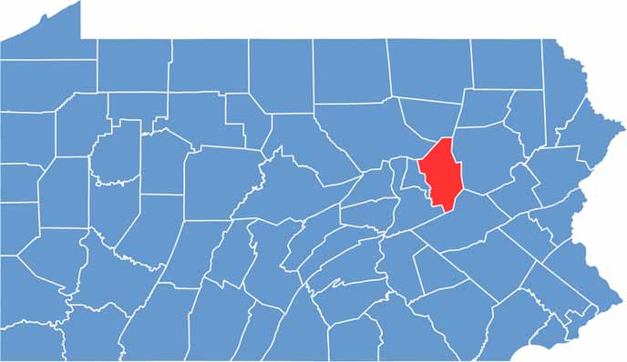

Location map of Columbia County, Pennsylvania
CategoryDetails
County NameColumbia County
County SeatBloomsburg
EtymologyNamed after Christopher Columbus
Cities, Towns, and CommunitiesBloomsburg, Berwick, Catawissa, Benton, Millville, Orangeville
Interstates and HighwaysInterstate 80, U.S. Highway 11, State Highway 42
FIPS Code42-037
Total Area (Land and Water)490 square miles (483 sq mi land, 7 sq mi water)
Adjacent Counties (and Direction)Sullivan County (North), Luzerne County (East), Schuylkill County (Southeast), Northumberland County (Southwest), Montour County (West), Lycoming County (Northwest)
Time ZoneEastern Time Zone (EST)
StatePennsylvania
Coordinates41°02’N, 76°23’W
Major LandmarksKnoebels Amusement Resort, Ricketts Glen State Park, Bloomsburg University of Pennsylvania, Montour Preserve
PopulationApproximately 63,000
Scroll to Top