
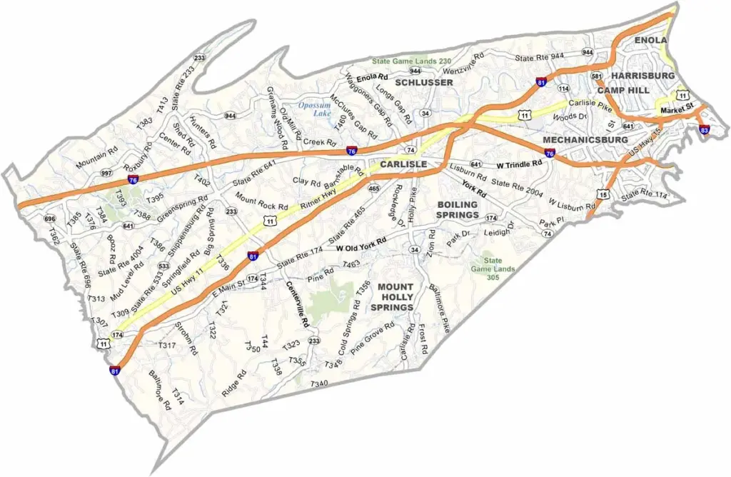
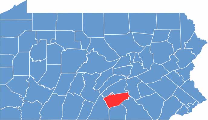
Cumberland County is right in the middle of south-central Pennsylvania. The Cumberland Valley is at the heart of this county, and the place is steeped in history. Just ask the folks in Carlisle, the county seat, who have stories dating back to the 1700s.
It's not all old-timey, though. Shippensburg University keeps things lively with a steady stream of young faces. Nature lovers, you're in luck, because the Appalachian Trail cuts right through here. Fancy a hike?
You've got options. Mechanics and car lovers, take note: this is home to the Carlisle Events car shows, a big deal in the auto world. Last but not least, don't miss the Army Heritage and Education Center if you're into military history.
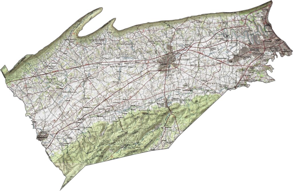
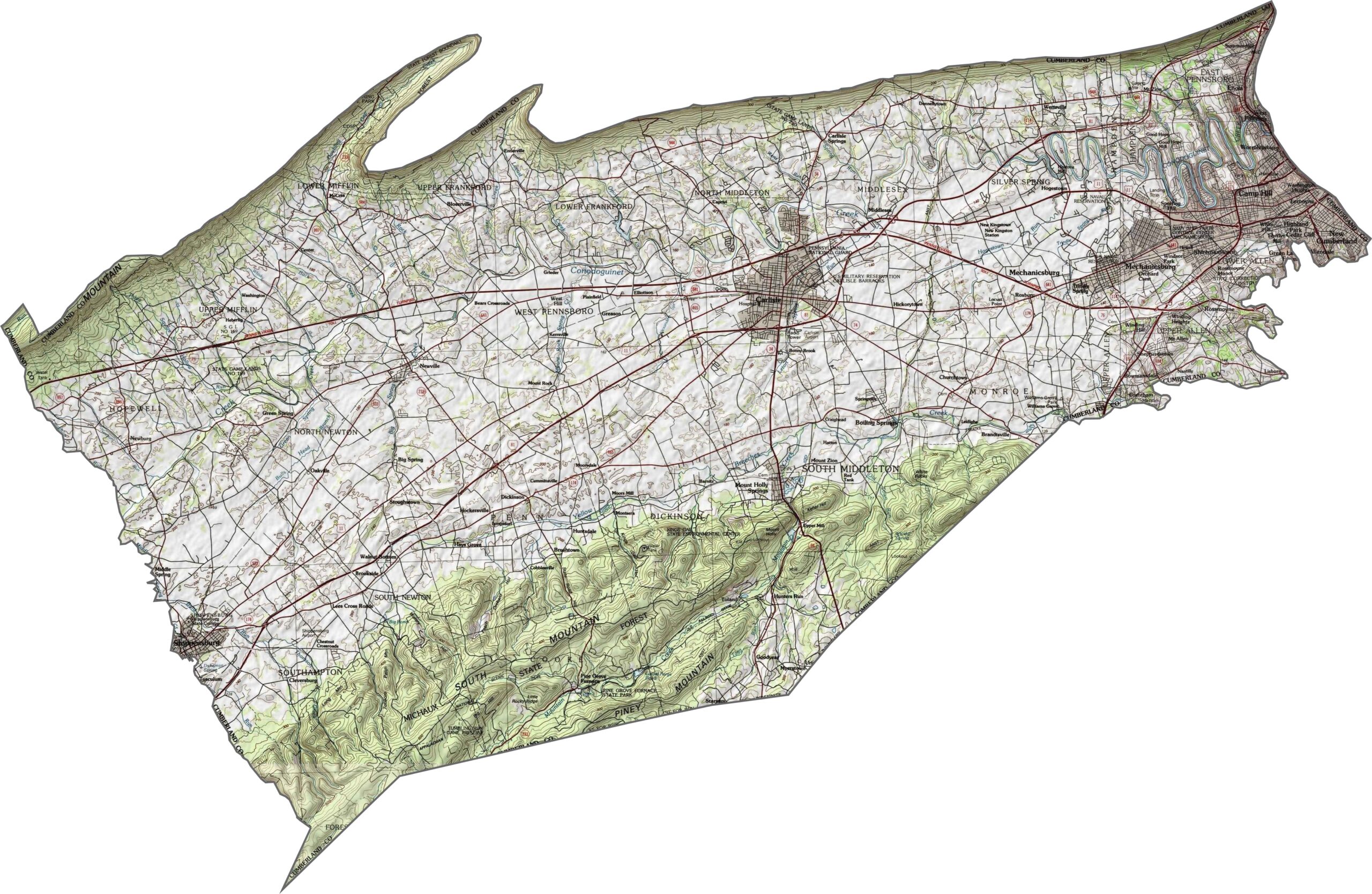
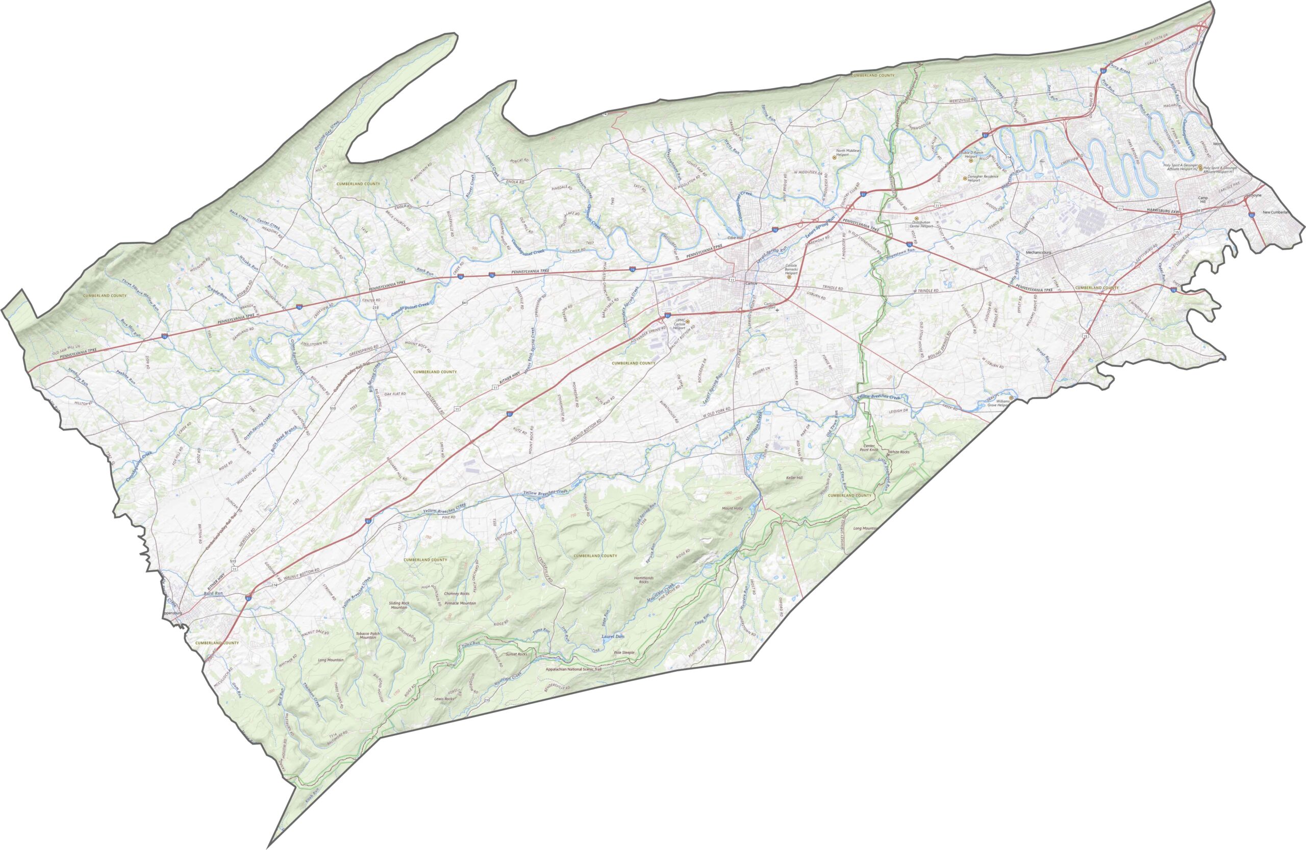
This is classic ridge-and-valley country. The northern edge climbs into steep ridges, while the center flattens into wide farmland. The land rises again in the south with more mountainous terrain.
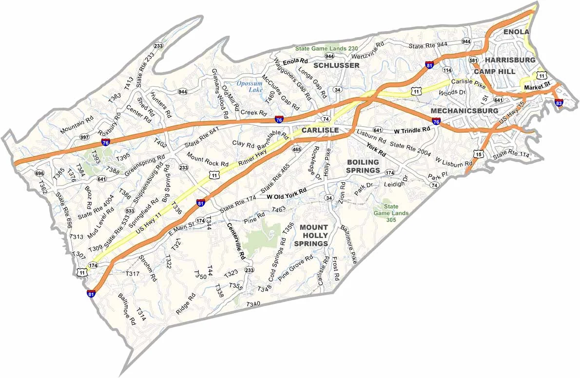
Cumberland County's highway network is well structured and fast moving. Notably, Interstate 76 and Interstate 81 cut across the valley with few interruptions. You'll find every detail with our zoom tool and road map below.
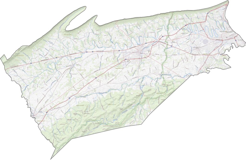
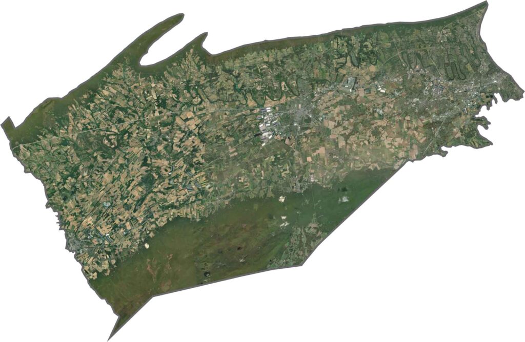
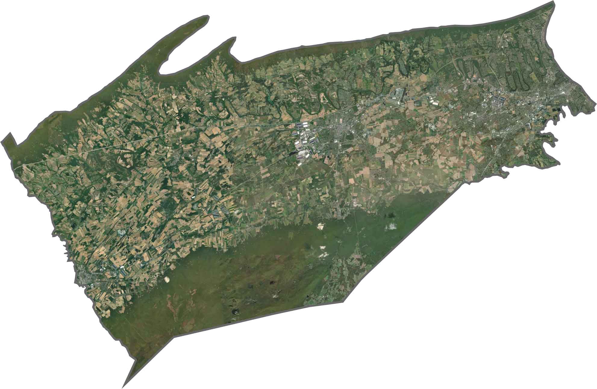
From above, the central valley looks like fields in every shade of green and brown. Ridges on either side appear dark and wooded. Towns cluster in the flatter regions, including Carlisle.
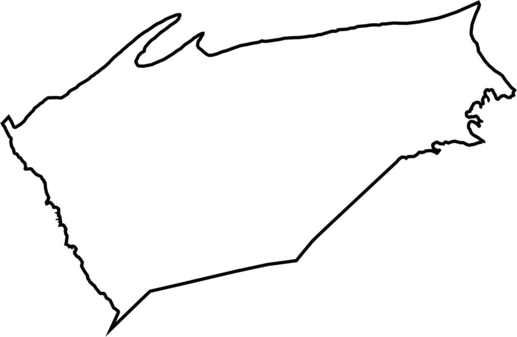
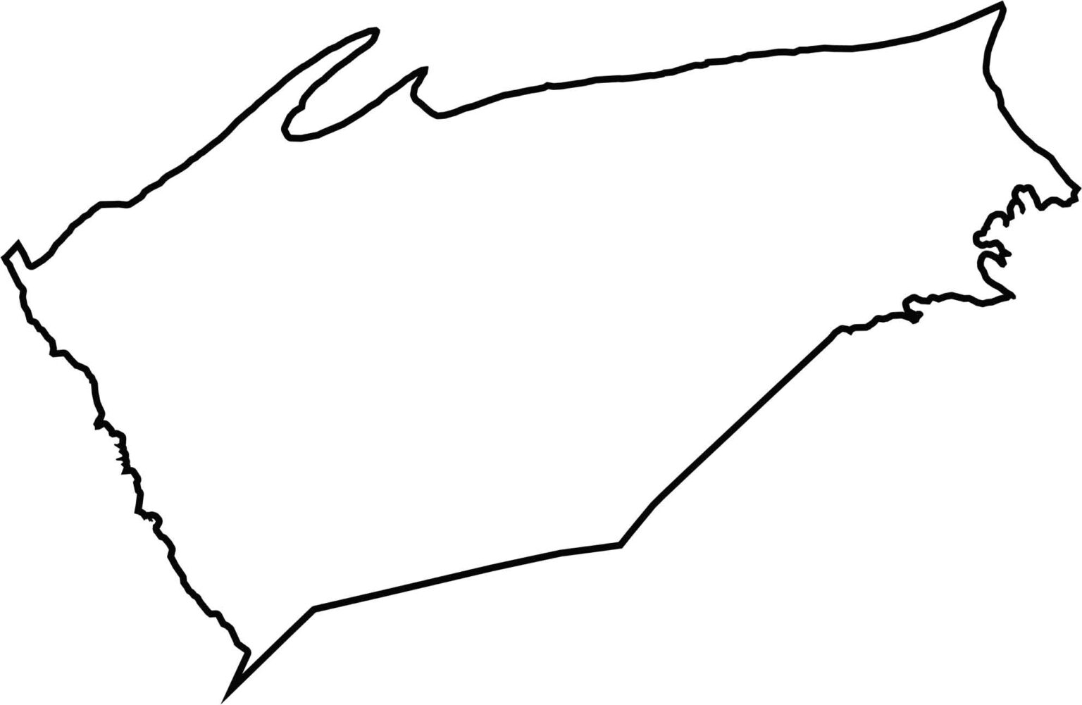
Cumberland County is long and narrow, running east to west. Its southern boundary is close to Maryland, but it doesn't actually border any other states. The northern line is more jagged, shaped by the ridges. It's a sideways shape with a few dips and curves.







Pennsylvania's 67 counties take in the glow of the Steel City, quiet Amish country backroads, and escapes in the Pocono Mountains. Distances may differ from place to place, but the stories stay just as rich.