
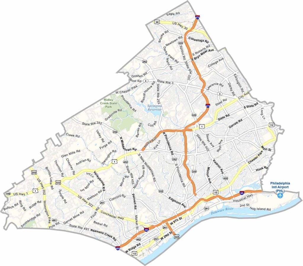
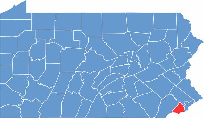
Delaware County is just a stone's throw from Philadelphia. Locals call it Delco, and it has character, I'll give you that. The Delaware River forms the southeast border, with New Jersey across the river.
This place has seen some history. Media has one of the oldest courthouses in continuous use in the USA. Speaking of Media, it's known as "Everybody's Hometown." Quaint, right?
But don't let that fool you, because Delco has an edge. It's home to Villanova University, a top-notch school with a killer basketball program. Ever heard of Wawa? Yeah, it started here. Nature lovers aren't left out either, and Ridley Creek State Park is a local favorite.
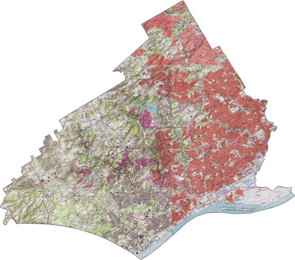
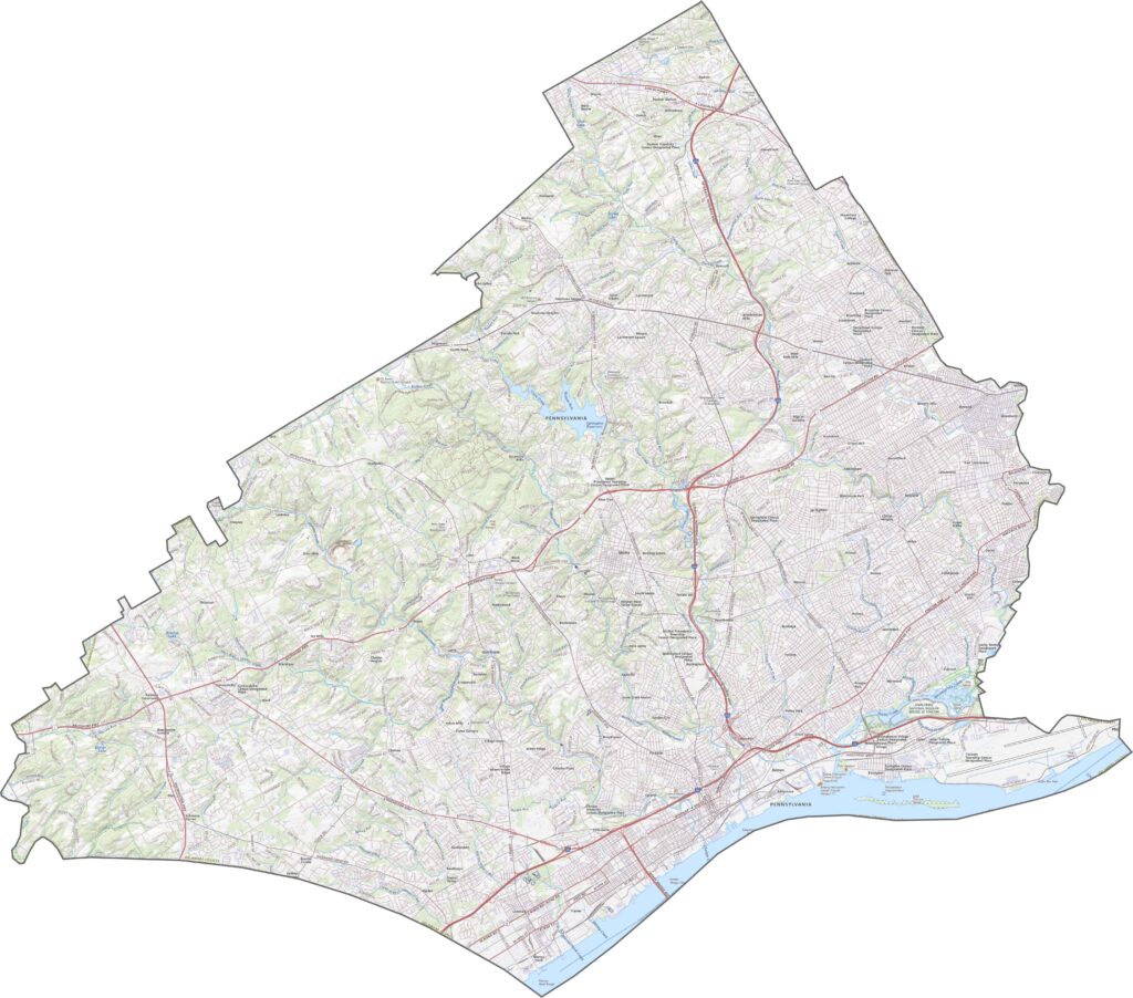
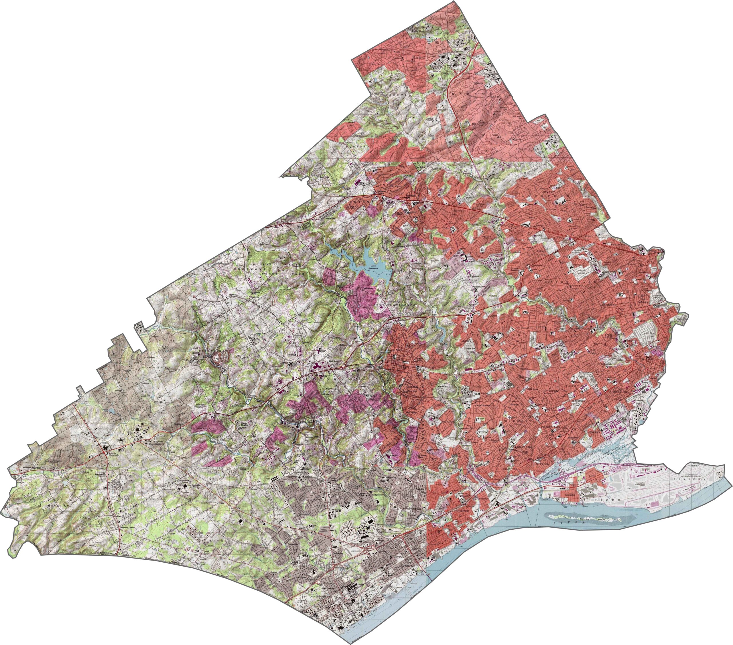
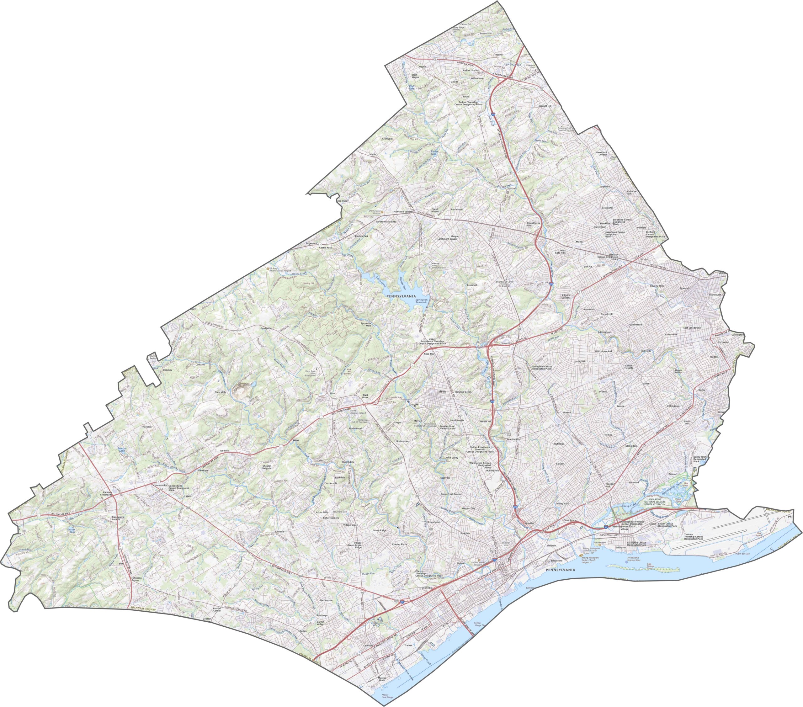
It's mostly flat in Delaware County, with only mild slopes and low ridges. The land drops slightly toward the Delaware River. Though elevation changes are subtle, they still shape how the roads and neighborhoods fit together.
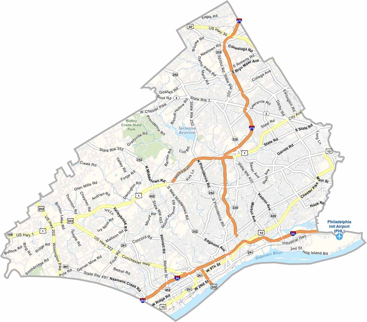
Delaware County's roads are dense, fast, and always in motion. Highways like Interstate 476 and Interstate 95 crisscross in every direction. Our zoom tool can help you find your fastest route in Delaware County.
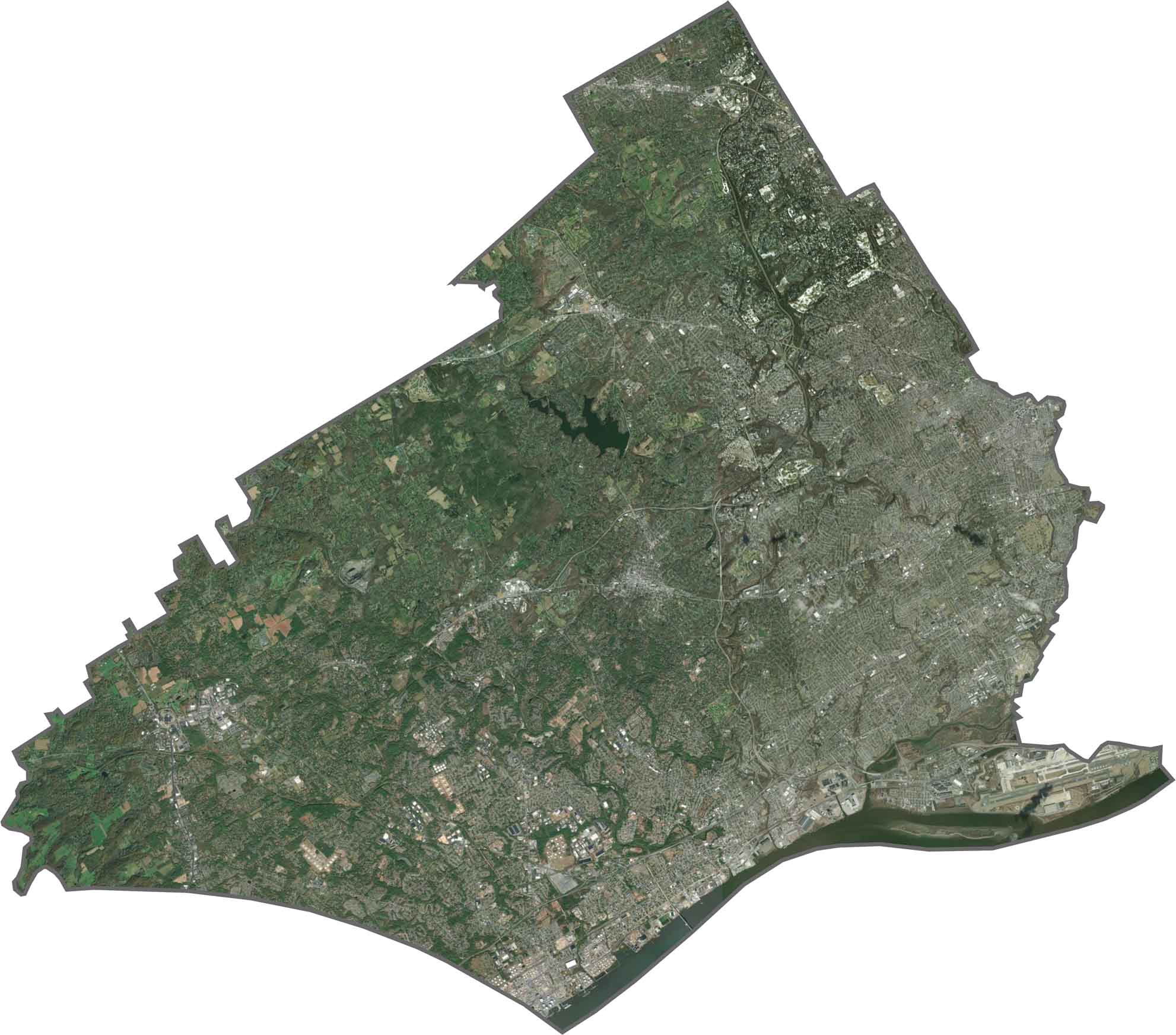
This county looks busy from above. Streets and neighborhoods pack in tight on the east side, with only small green breaks. The riverfront stands out with industry and docks.
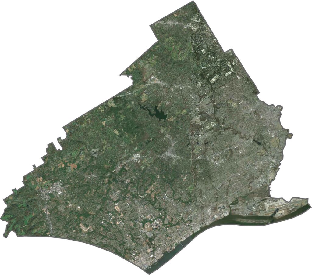
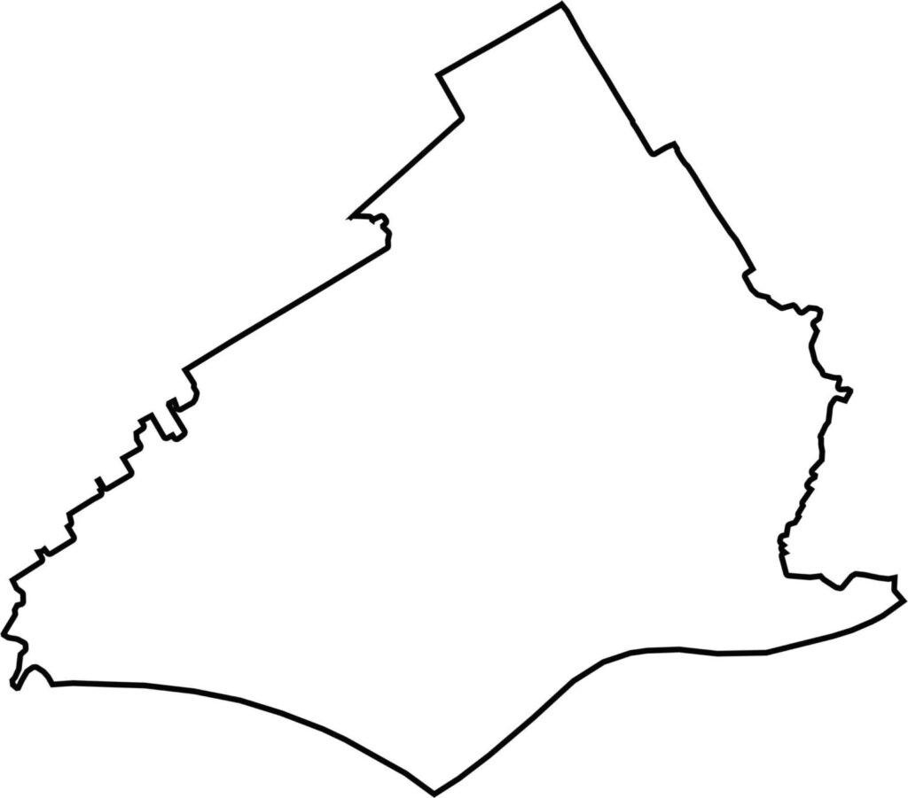
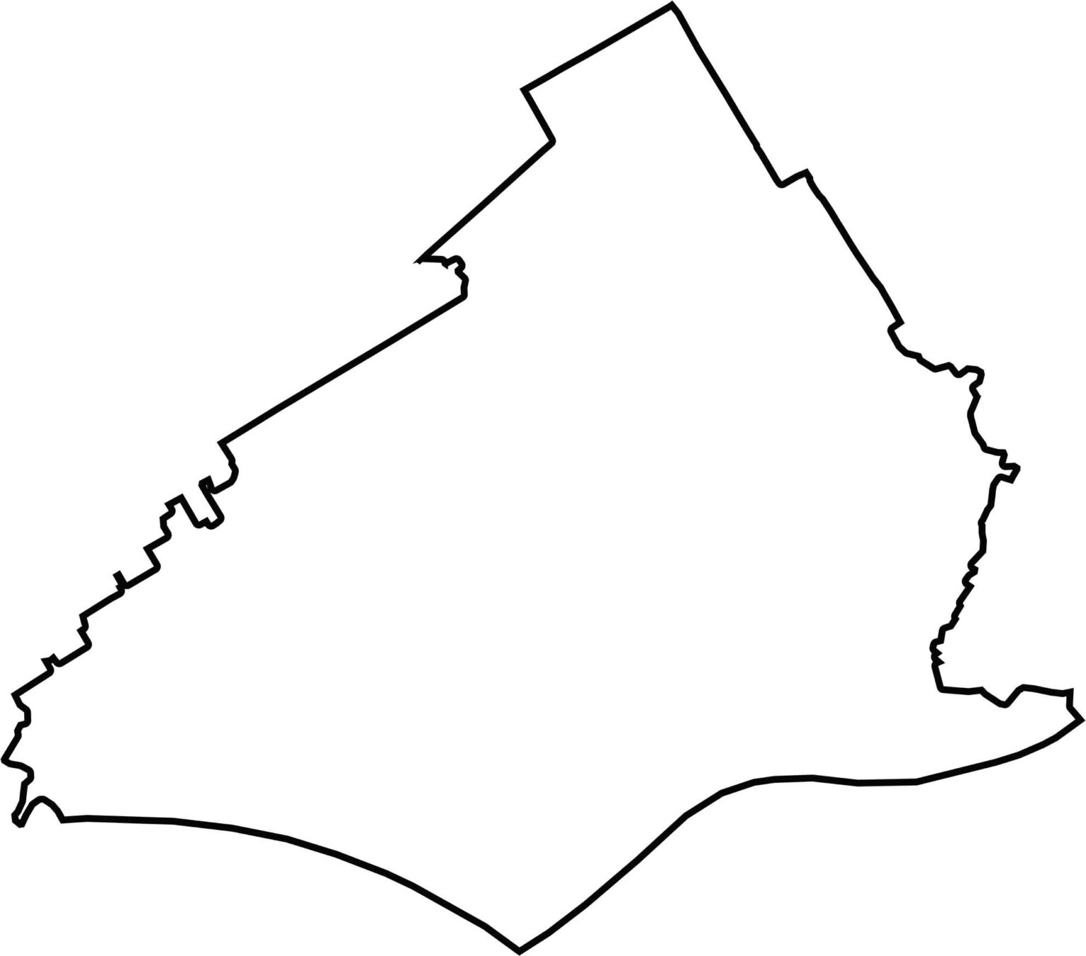
Delaware County is shaped like a sharp wedge pointing south. The Delaware River forms its southern edge and separates it from New Jersey and the state of Delaware.







Pennsylvania's 67 counties take in the glow of the Steel City, quiet Amish country backroads, and escapes in the Pocono Mountains. Distances may differ from place to place, but the stories stay just as rich.