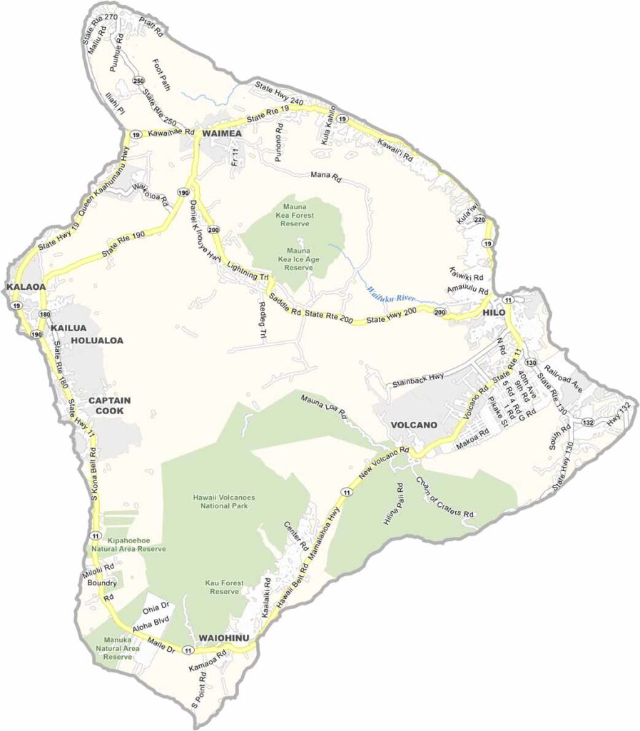
Hawaii County encompasses the entire Island of Hawaii, commonly known as the Big Island, which is the largest and youngest island in the Hawaiian chain. The region is renowned for its striking natural beauty, featuring black sand beaches, dense rainforests, vast lava fields, and towering mountains capped with snow.
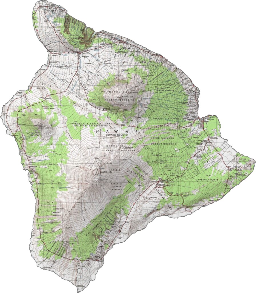
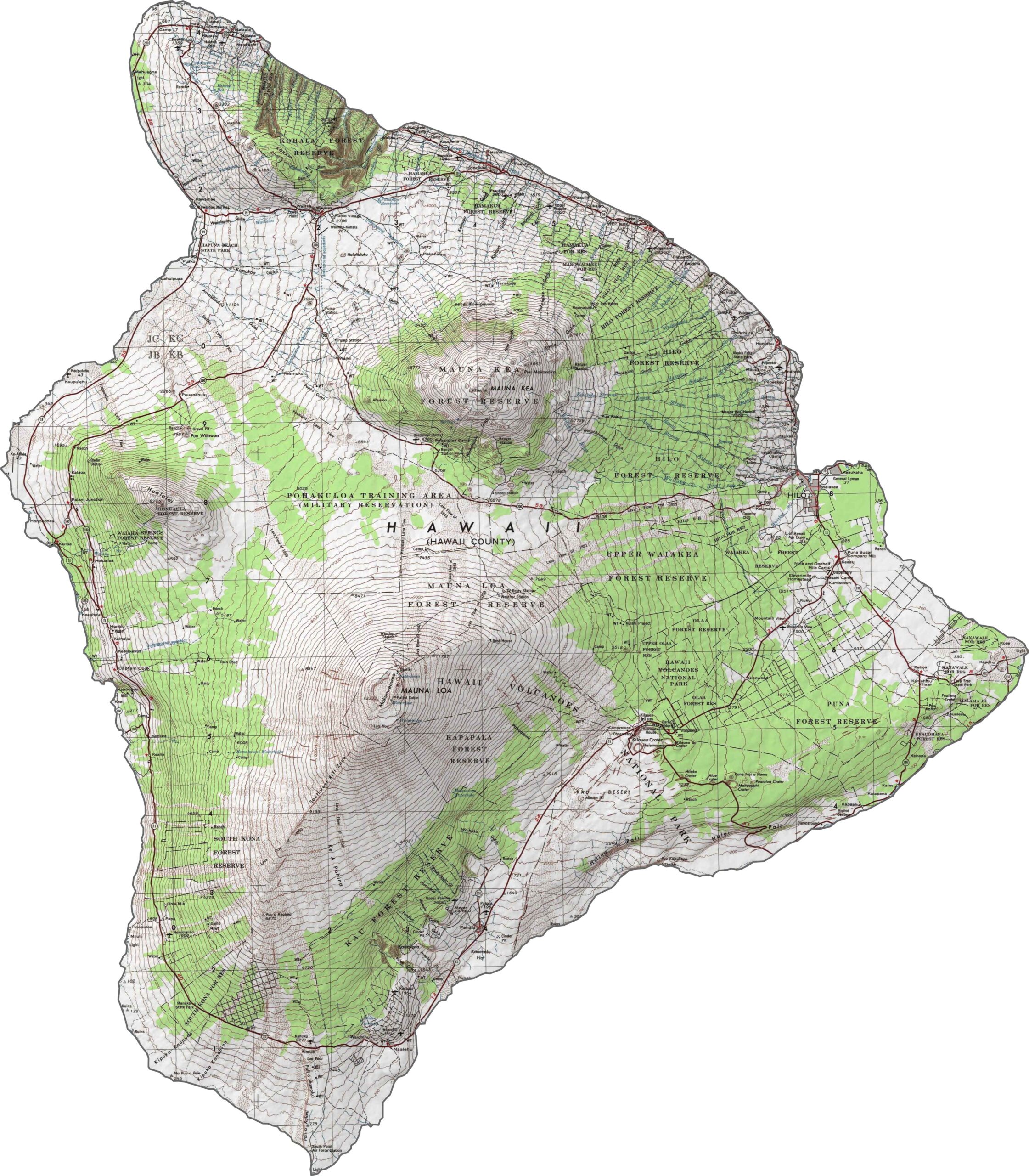
The county seat, Hilo, is located on the island’s lush and rainy eastern coast, while Kailua-Kona enjoys a sunnier climate on the western side. Volcanic activity has played a major role in shaping the island’s landscape. Mauna Kea, considered the tallest mountain in the world when measured from its ocean floor base, is famous for its exceptional stargazing opportunities. Meanwhile, Kilauea remains one of the most active volcanoes on the planet, with a long history of frequent eruptions.
Residents enjoy a relaxed island lifestyle, complemented by an abundance of fresh seafood and tropical produce. Visitors are drawn to the county’s breathtaking scenery and outdoor experiences, from swimming with manta rays to exploring volcanic craters and rugged hiking trails. Hawaii County offers a unique blend of adventure and natural wonder that leaves a lasting impression.
The Big Island is known for its dramatic contrasts, from towering volcanoes like Mauna Kea and Mauna Loa to vast lava fields and lush green valleys. Hilo, the island’s largest town, sits on the rainy eastern coast. In the south, Hawaii Volcanoes National Park features dense rainforests and stunning volcanic landscapes.
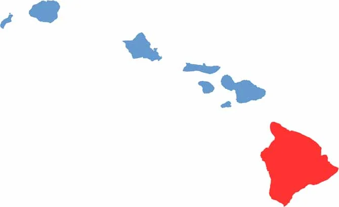
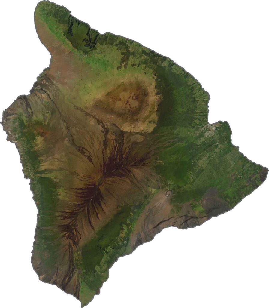
From above, the Big Island appears to be shaped by two massive volcanoes, though it is actually home to six. Bright green forests cover parts of the island, creating a striking contrast with the volcanic terrain. On the western side, the Kona Coast is known for its sunny beaches, luxury resorts, and crystal-clear waters. Use our zoom tool to explore the impressive peaks of Mauna Kea and Mauna Loa up close.
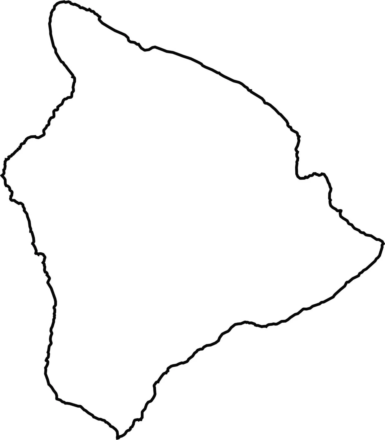
The outline of Hawaii County is unmistakably large, which is why it is known as the Big Island. Its roughly circular shape is marked by a rugged coastline that curves in and out along the shore. On a blank map of the Hawaiian Islands, it stands out immediately as the largest island in the chain.