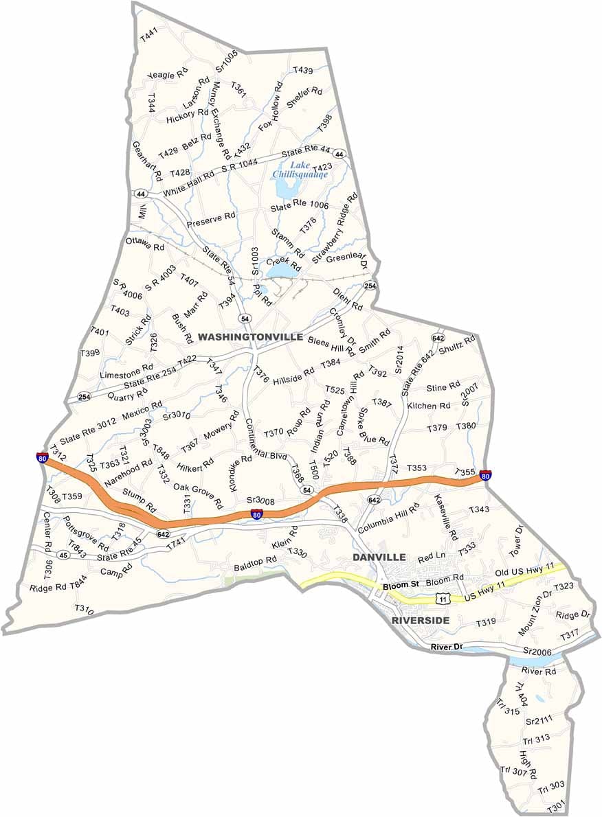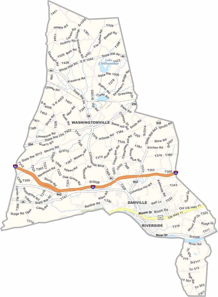
Montour County Map, Pennsylvania

Montour County, Pennsylvania

Montour County sits in the heart of Pennsylvania. It is the state's smallest county by land area, but its size is deceiving. Danville, the county seat, has a rich history rooted in iron-making.

The Susquehanna River forms the county's southern border and offers great fishing and boating. Locals enjoy a leisurely bike ride or walk along the Robbins Trail.

Montour Preserve is a favorite spot for birdwatching and picnics, and its lake and trails make it popular with families. From bluegrass jams to autumn harvest celebrations, there is always something happening.
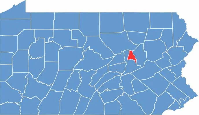

Location map of Montour County, Pennsylvania
CategoryDetails
County NameMontour County
County SeatDanville
EtymologyNamed after Madame Montour, colonial ambassador to the Native Americans
Cities, Towns, and CommunitiesDanville, Washingtonville, Riverside, Mayberry Township
Interstates and HighwaysInterstate 80, U.S. Highway 11, State Highway 54
FIPS Code42-093
Total Area (Land and Water)132 square miles (130 sq mi land, 2 sq mi water)
Adjacent Counties (and Direction)Lycoming County (North), Columbia County (East), Northumberland County (Southwest)
Time ZoneEastern Time Zone (EST)
StatePennsylvania
Coordinates41°03’N, 76°39’W
Major LandmarksMontour Preserve, Geisinger Medical Center, Hess Recreation Area
PopulationApproximately 18,000
Scroll to Top