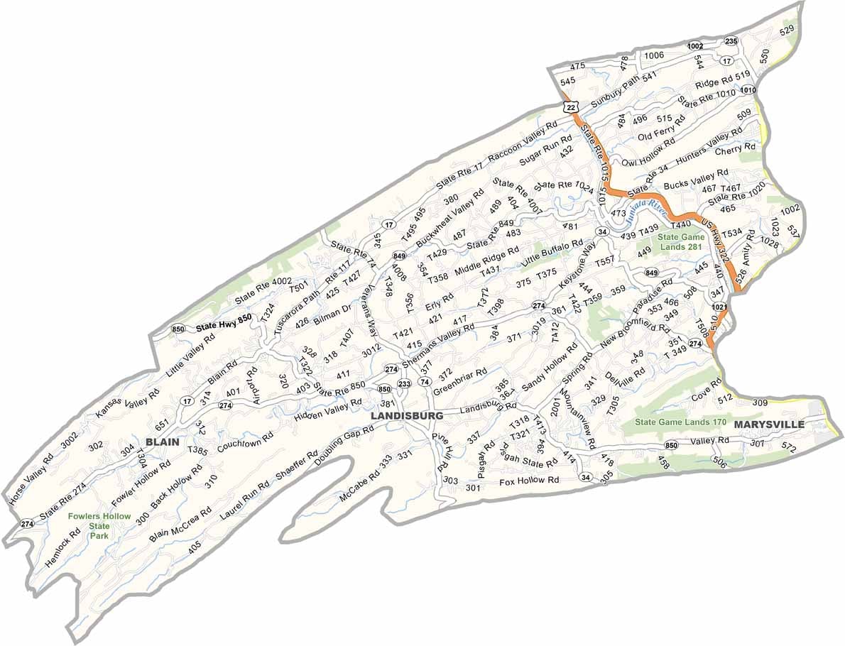
Perry County Map, Pennsylvania

Perry County, Pennsylvania

Perry County lies in central Pennsylvania, just northwest of Harrisburg, and its natural beauty is the main attraction. Tuscarora State Forest covers a large part of the county, and Little Buffalo State Park is another local favorite.

The whole county is ideal for camping, hiking, and getting away from it all. Its old covered bridges are scattered across the countryside and make for some very photogenic stops.

Agriculture runs deep here, and farms line the roads throughout the county. The Appalachian Trail follows the eastern edge, drawing hikers from far and wide. Newport has a charming little downtown with some interesting shops.
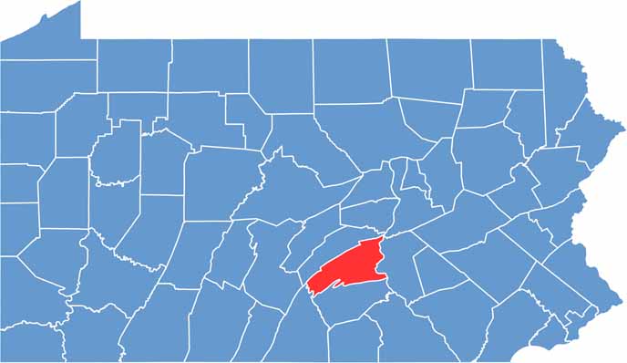

Location map of Perry County, Pennsylvania
CategoryDetails
County NamePerry County
County SeatNew Bloomfield
EtymologyNamed after Commodore Oliver Hazard Perry, a hero of the War of 1812
Cities, Towns, and CommunitiesNew Bloomfield, Marysville, Newport, Duncannon, Blain, Liverpool
Interstates and HighwaysU.S. Highway 11, U.S. Highway 15, State Highway 34, State Highway 274
FIPS Code42-099
Total Area (Land and Water)556 square miles (551 sq mi land, 5 sq mi water)
Adjacent Counties (and Direction)Juniata County (North), Northumberland County (Northeast), Dauphin County (East), Cumberland County (South), Franklin County (Southwest)
Time ZoneEastern Time Zone (EST)
StatePennsylvania
Coordinates40°25’N, 77°11’W
Major LandmarksLittle Buffalo State Park, Hawk Rock Overlook, Perry County Courthouse
PopulationApproximately 46,000
Scroll to Top