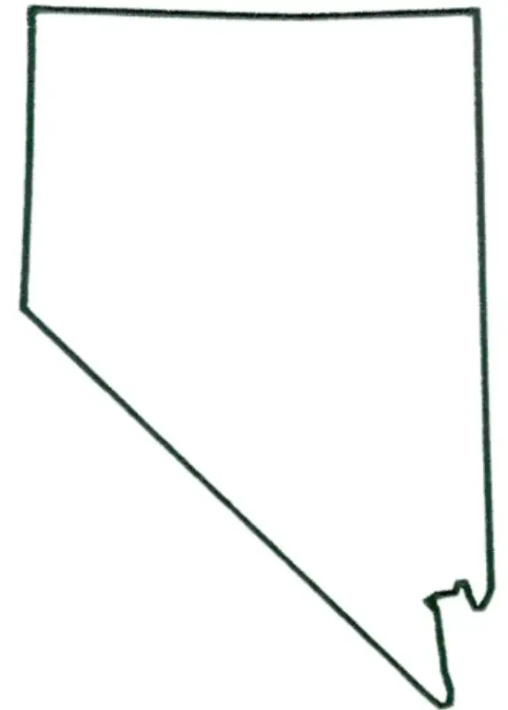
A Free Printable Blank Nevada Map is a versatile resource for educational, planning, and informational use. Featuring a simple, unlabeled outline of the state, it allows users to customize and explore Nevada’s geography in a variety of ways. Its usefulness extends beyond basic map study, making it an engaging tool for classroom activities, geographic learning, and travel planning. Students can identify and label major cities such as Las Vegas, Reno, and Carson City, along with important natural landmarks like the Sierra Nevada Mountains, Lake Tahoe, and the Great Basin, helping them gain a deeper understanding of the state's geography.
Blank maps are widely used in lesson plans, quizzes, and classroom assignments to help develop map-reading abilities and spatial awareness. A Blank Nevada Map is also valuable for researchers, planners, and businesses, as it provides a foundation for marking territories, demographic data, transportation networks, and other geographic information. Nevada’s unique rectangular shape and vast desert landscapes offer excellent opportunities for geographic study and visual analysis. Available in both printable and digital formats, a Blank Nevada Map is an ideal resource for educational activities, data visualization, travel planning, and creative projects. It encourages exploration, strengthens geographic knowledge, and helps users gain a deeper understanding of Nevada’s diverse regions, landmarks, and natural features.
Located in the western United States, Nevada is known for its striking desert landscapes, vibrant cities, and rich cultural heritage. The state is home to the world-famous city of Las Vegas, renowned for its entertainment, casinos, and nightlife. Nevada also includes Reno, often referred to as “The Biggest Little City in the World.” The state capital, Carson City, serves as the political and administrative center of Nevada. Together, these cities highlight the state's unique blend of history, culture, and modern attractions.
Nevada is characterized by vast open plains, expansive desert landscapes, including the Mojave Desert, and the majestic Sierra Nevada mountain range. The state is also well known for its rich mining heritage and extensive public lands. With its unique combination of natural beauty, outdoor recreational opportunities, and vibrant urban attractions, Nevada offers a diverse and dynamic environment that makes it a fascinating place to explore and experience.
What is a Nevada Map Worksheet: A Nevada Map Worksheet is an educational tool designed to help students learn about the state's geography through engaging and interactive activities. These worksheets typically feature blank or partially completed maps that allow learners to identify and label important locations such as Las Vegas, Carson City, Reno, Lake Tahoe, and the Sierra Nevada mountain range. By completing these activities, students can improve their map-reading skills, geographic knowledge, and understanding of Nevada's physical and cultural landmarks.
Teachers use Nevada map worksheets to introduce students to the state's physical geography, historical landmarks, and political boundaries. These worksheets help develop essential map-reading and spatial-thinking skills while encouraging active, hands-on learning. They are ideal for quizzes, homework assignments, classroom activities, and group discussions. By exploring and labeling various locations and geographic features, students gain a better understanding of Nevada’s diverse landscapes and rich heritage, making these worksheets a valuable educational resource.
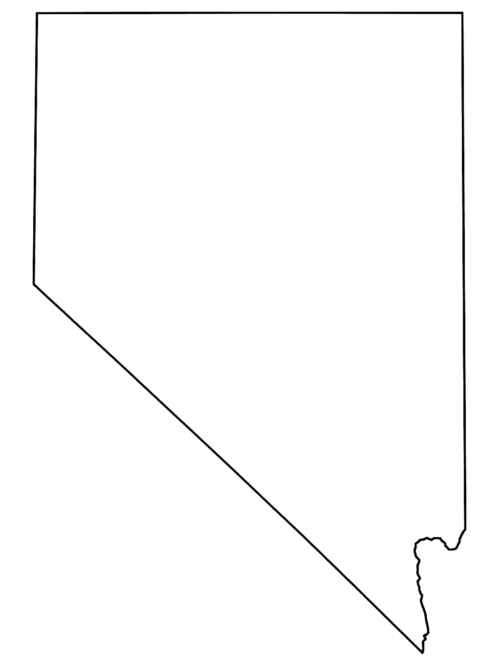
This outline map displays the borders of Nevada and provides a clear view of the state's shape and its neighboring states. It is a valuable resource for educational activities, geographic studies, and planning purposes where understanding Nevada’s location and boundaries is important. Since the map contains no internal labels or markings, students, teachers, and researchers can customize it by adding cities, landmarks, rivers, mountain ranges, highways, or other geographic features. This flexibility makes it an excellent tool for learning, research, and creative mapping projects.
Nevada’s distinctive rectangular shape, vast deserts, mountain ranges, and diverse geographic features make it an excellent subject for geography lessons and educational activities. A Nevada shape map helps students and learners develop spatial awareness and improve their map-reading skills by providing a clear view of the state’s outline and layout. It is an ideal resource for school projects, quizzes, classroom exercises, and visual presentations, allowing users to gain a better understanding of Nevada’s unique geography and regional characteristics.

