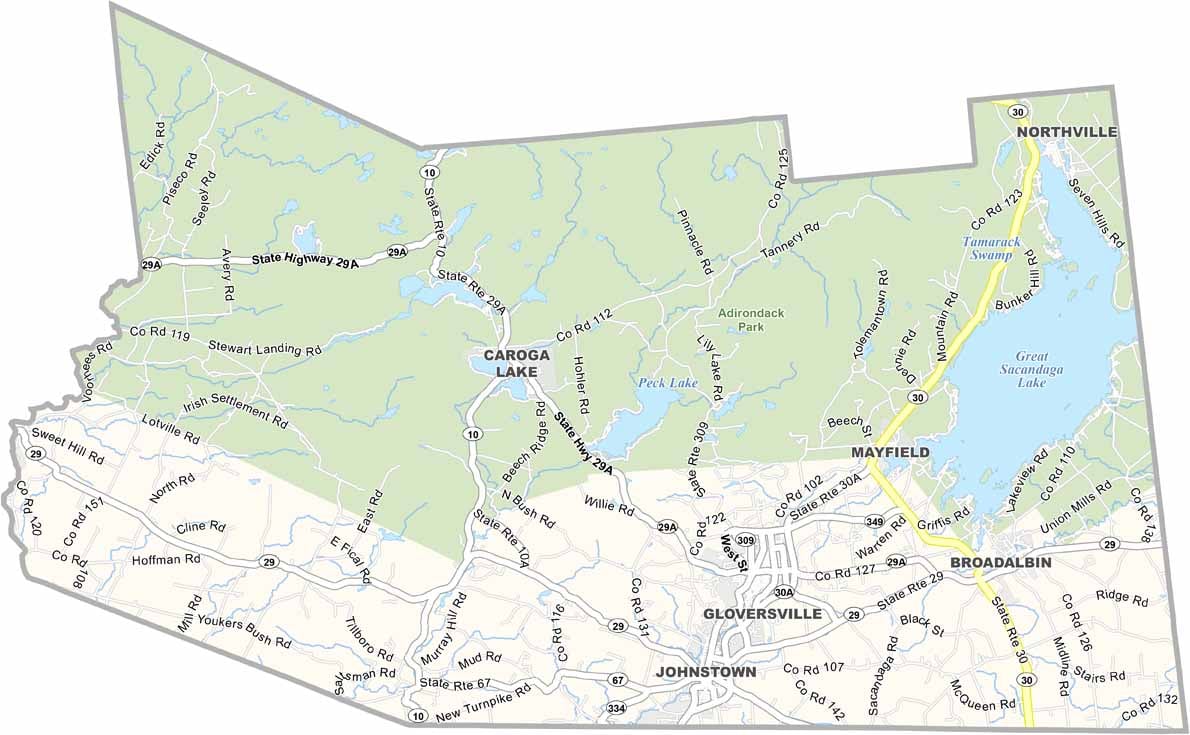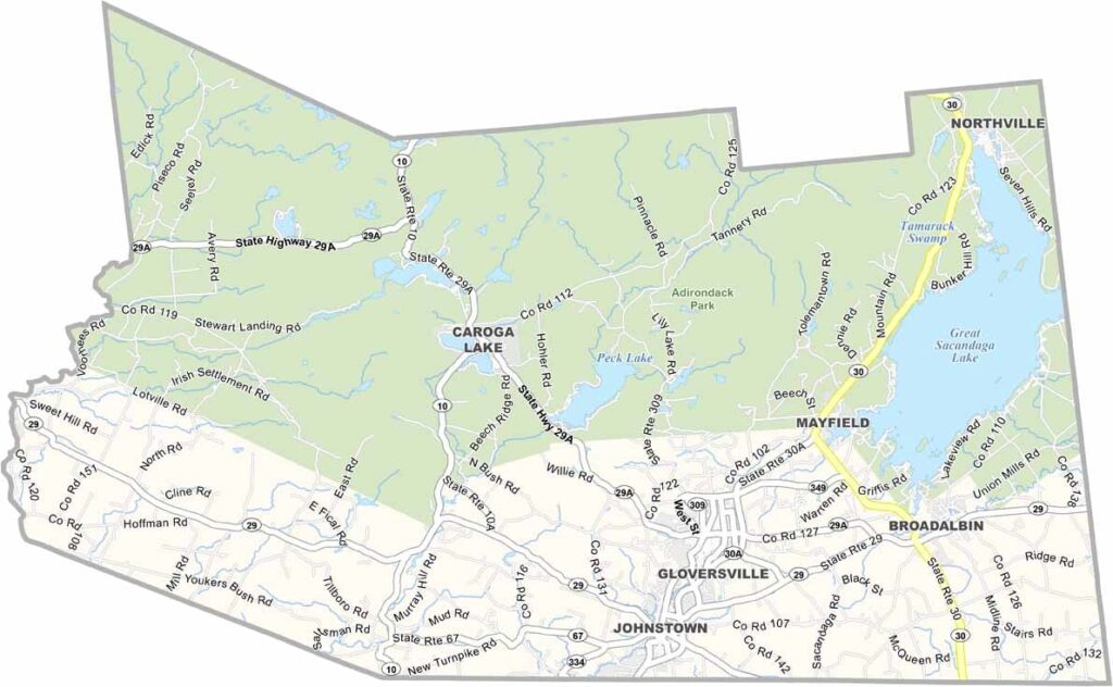
Fulton County Map, New York

Fulton County, New York

Fulton County is a slice of upstate New York tucked between the Adirondacks and the Mohawk Valley. Leather and gloves helped put the county on the map. Gloversville, once known as the glove-making capital of the world, still celebrates that heritage today.

The county takes its name from Robert Fulton, the steamboat pioneer. Visitors enjoy Great Sacandaga Lake for boating and fishing, while the southern reaches of Adirondack Park offer plenty of hiking opportunities.

The Johnstown Colonial Stroll is a summer highlight that brings local history to life in the county seat of Johnstown. The county also has a lively arts scene, with galleries and studios scattered throughout the area. Peck’s Lake is another popular spot, especially for kayakers.
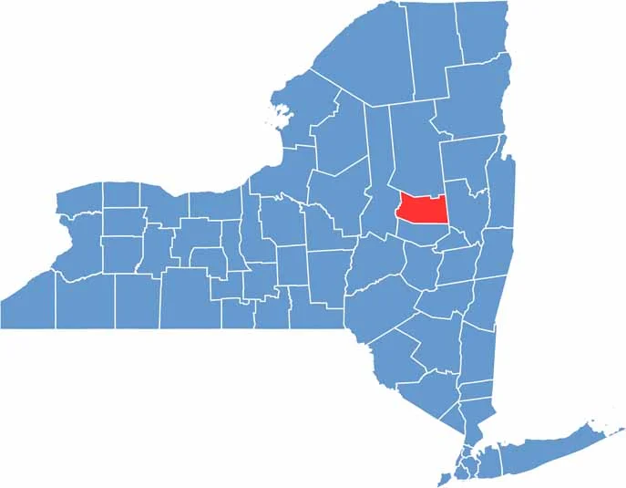

Fulton County location map of New York
CategoryDetails
County NameFulton County
County SeatJohnstown
EtymologyNamed after Robert Fulton, the inventor of the steamboat
Cities, Towns, and CommunitiesJohnstown, Gloversville, Broadalbin, Caroga Lake, Mayfield, Northville
Interstates and HighwaysNew York State Route 30A, New York State Route 29, New York State Route 10
FIPS Code36-035
Total Area (Land and Water)533 square miles (495 sq mi land, 38 sq mi water)
Adjacent Counties (and Direction)Hamilton County (North), Saratoga County (East), Montgomery County (South), Herkimer County (West)
Time ZoneEastern Time Zone (ET)
StateNew York
Coordinates43.1117° N, 74.4995° W
Major LandmarksGreat Sacandaga Lake, Johnson Hall State Historic Site, Peck’s Lake
PopulationApproximately 54,000
Scroll to Top