
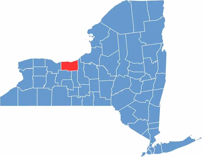
Wayne County is located in New York’s Finger Lakes region, between Rochester and Syracuse along the southern shore of Lake Ontario. Small towns with charming main streets are common throughout the county.
Apple orchards are everywhere, and the area is well known for its apple production. In the fall, the smell of fresh cider seems to fill the air. Fishing is also popular, while the Erie Canal runs through the county, adding an interesting touch of history.
Wayne County has a laid-back, unpretentious feel. People work hard and make the most of their free time. If you enjoy quiet country living with a little lake life, Wayne County has plenty to offer.
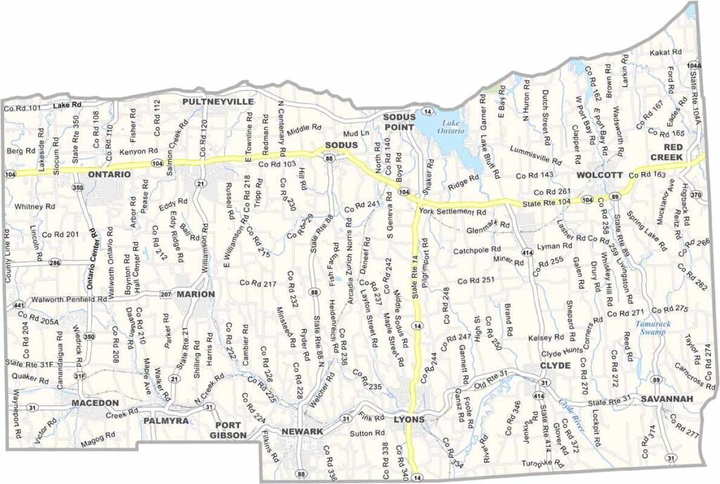
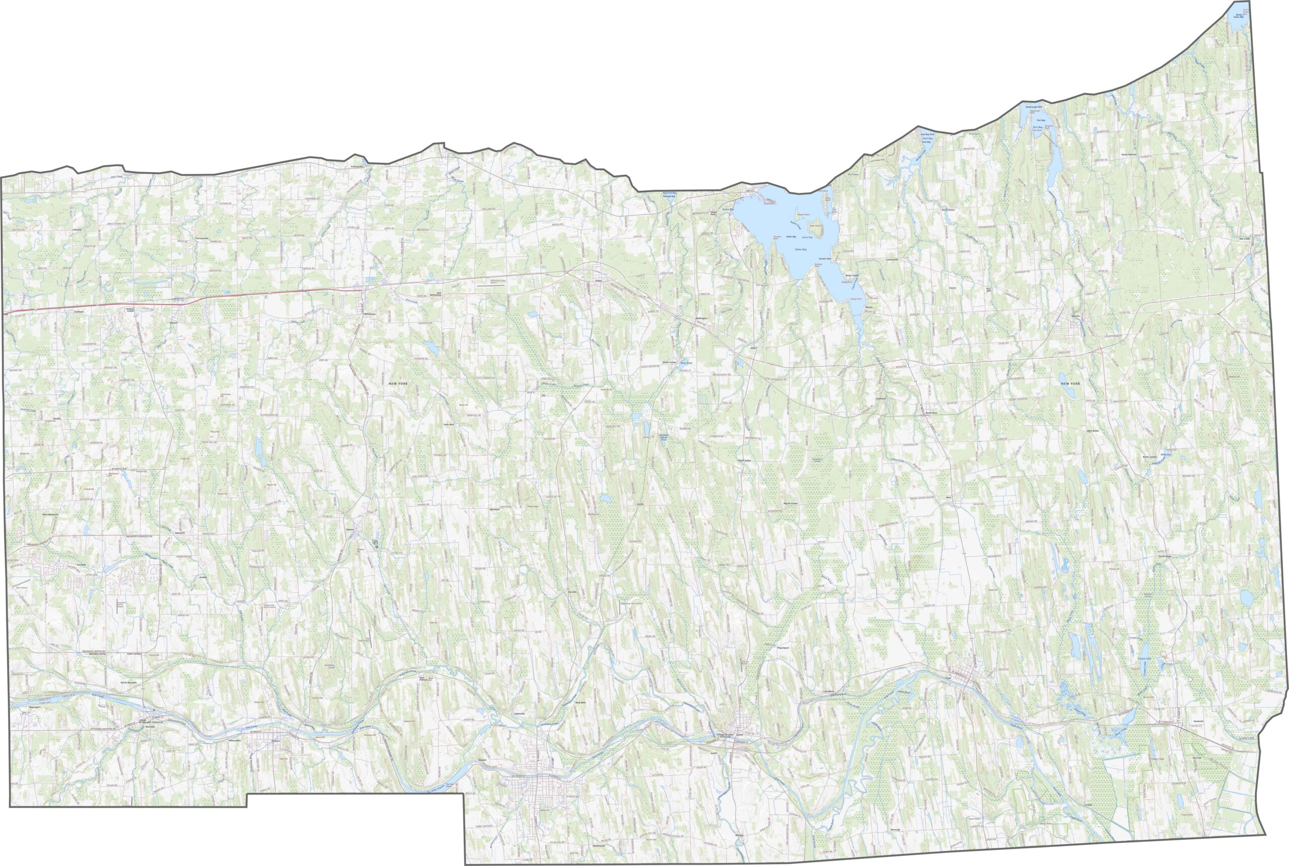
Although Wayne County has no interstate, its state routes keep traffic moving. NY-104 runs just south of Lake Ontario and crosses nearly the entire county. NY-31 passes through the southern part, connecting several smaller communities. Use our road map to explore the county’s transportation network in more detail.
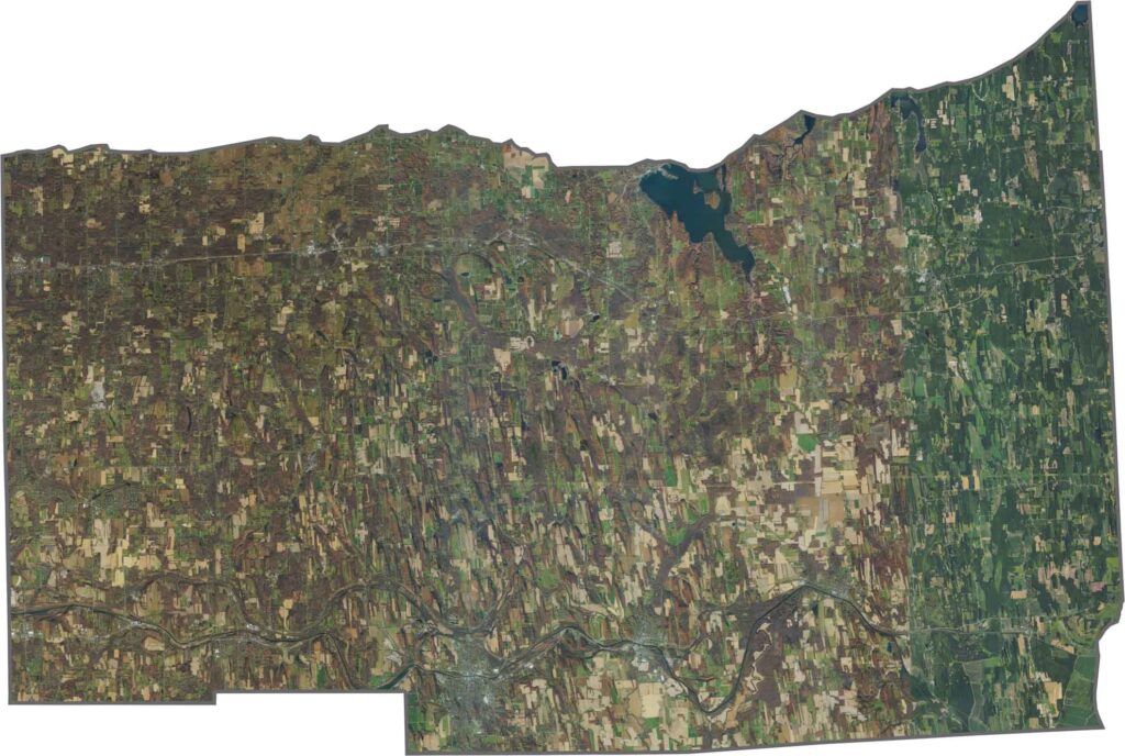
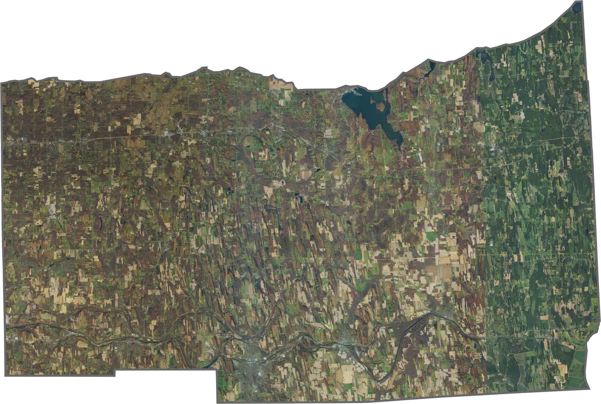
From above, Wayne County is a mix of fields, orchards, and water. Large green and tan areas reflect the county’s strong agricultural landscape. The Erie Canal winds through the middle, passing between towns and wooded areas, while Lake Ontario forms the northern border.
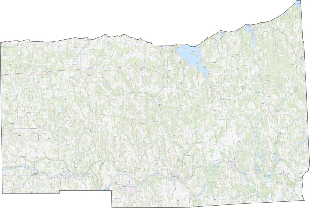
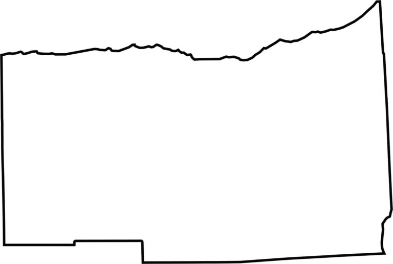
Wayne County has a long, horizontal shape. Lake Ontario defines the entire northern edge, while the southern boundary is more irregular and jagged.









New York has 62 counties, and each one has its own personality. From the nonstop energy of Manhattan to the quiet wilderness of the Adirondacks, there’s plenty of variety to explore. And yes, we can’t forget those famous Buffalo wings. Explore our New York county maps.