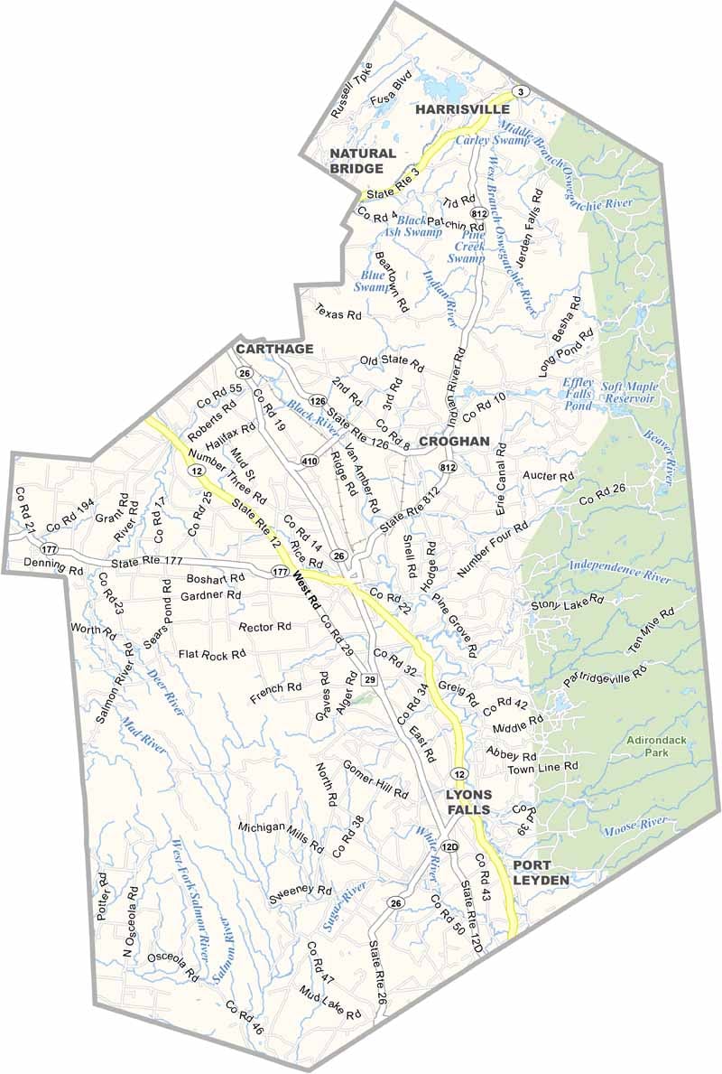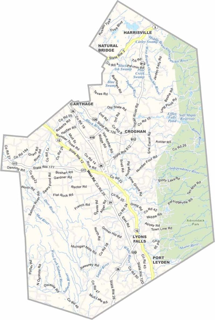
Lewis County Map, New York

Lewis County, New York

Lewis County sits in northern New York, between the Adirondacks and the Tug Hill Plateau, and it's a place where everyone can find their niche. Lowville, the county seat, is known for its 19th-century architecture.

The county is famous for its maple syrup production, so don't miss the annual Maple Weekend celebrations. Snowmobilers come here in winter for some of the best trails in the state, and outdoor lovers enjoy Adirondack Park, which occupies the eastern region.

Lewis County has deep ties to the American Revolution and the War of 1812. You can't talk about Lewis without mentioning its dairy farms, because this is cheese country. It's a place where open spaces and close-knit communities thrive side by side.
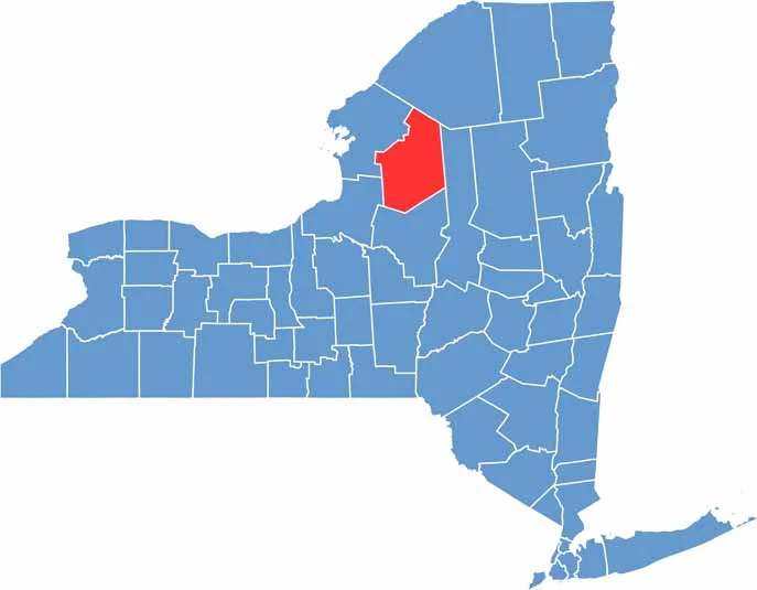

Lewis County location map of New York
CategoryDetails
County NameLewis County
County SeatLowville
EtymologyNamed after Morgan Lewis, the third Governor of New York
Cities, Towns, and CommunitiesLowville, Lyons Falls, Copenhagen, Croghan, Port Leyden
Interstates and HighwaysNew York State Route 12, New York State Route 26, New York State Route 812
FIPS Code36-049
Total Area (Land and Water)1,290 square miles (1,275 sq mi land, 15 sq mi water)
Adjacent Counties (and Direction)St. Lawrence County (North), Herkimer County (East), Oneida County (South), Oswego County (West), Jefferson County (Northwest)
Time ZoneEastern Time Zone (ET)
StateNew York
Coordinates43.7879° N, 75.4345° W
Major LandmarksTug Hill Plateau, Snow Ridge Ski Resort, Otter Creek Horse Trails
PopulationApproximately 26,000
Scroll to Top