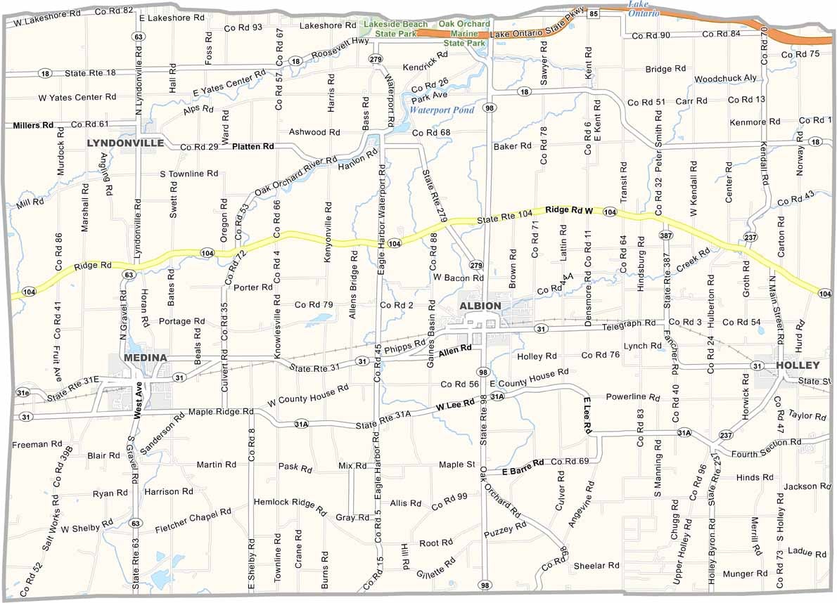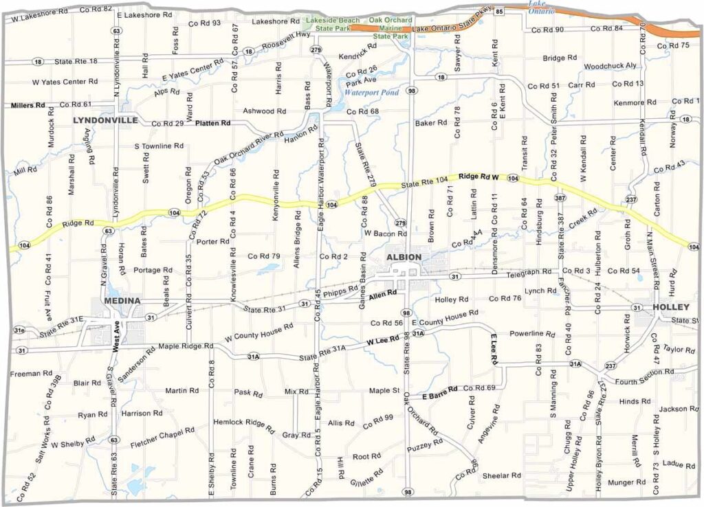
Orleans County Map, New York

Orleans County, New York

Orleans County is located in western New York, right on the southern shore of Lake Ontario. This place is all about apples, and they grow tons of them here. But there's more to the county than just fruit.

The Erie Canal runs through it, perfect for kayaking or fishing, and visitors will love exploring the Cobblestone Museum in Albion.

It's quiet here, but in a good way, the kind of place where you can actually hear yourself think. The locals are friendly and always up for a chat. And don't get me started on the sunsets over the lake, because they're something else.
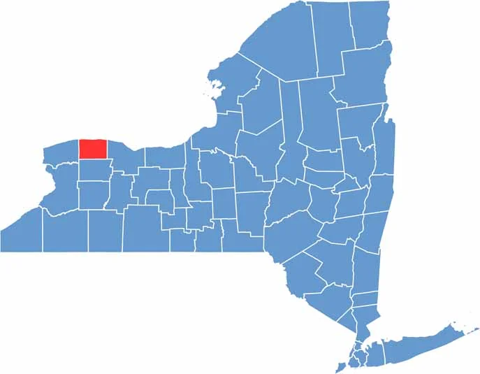

Orleans County location map of New York
CategoryDetails
County NameOrleans County
County SeatAlbion
EtymologyNamed after the French Royal House of Orléans
Cities, Towns, and CommunitiesAlbion, Medina, Lyndonville, Holley, Kendall
Interstates and HighwaysU.S. Route 31, U.S. Route 104, New York State Route 18, New York State Route 31A
FIPS Code36-073
Total Area (Land and Water)1,200 square miles (1,177 sq mi land, 23 sq mi water)
Adjacent Counties (and Direction)Monroe County (East), Genesee County (South), Niagara County (West)
Time ZoneEastern Time Zone (ET)
StateNew York
Coordinates43.2312° N, 78.1992° W
Major LandmarksLake Ontario State Parkway, Oak Orchard Creek, Erie Canal
PopulationApproximately 40,000
Scroll to Top